© Graubünden Ferien

© Graubünden Ferien

© Graubünden Ferien

- Korte beschrijving
-
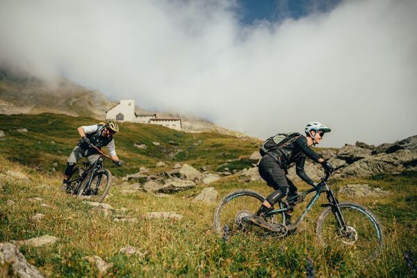
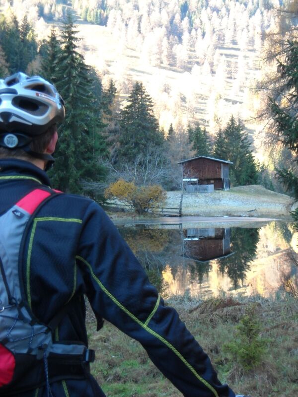
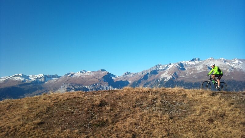
This tour is certainly an experience, featuring a tasty ascent up to the Rhäzünser Alp Sura, wonderful panoramic views of the mountain scenery around Flims, the Calanda and the Graubünden Rhine valley, followed by a fast-flowing descent on single trails.
- Moeilijkheid
-
medium
- Waardering
-
- Route
-
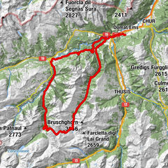
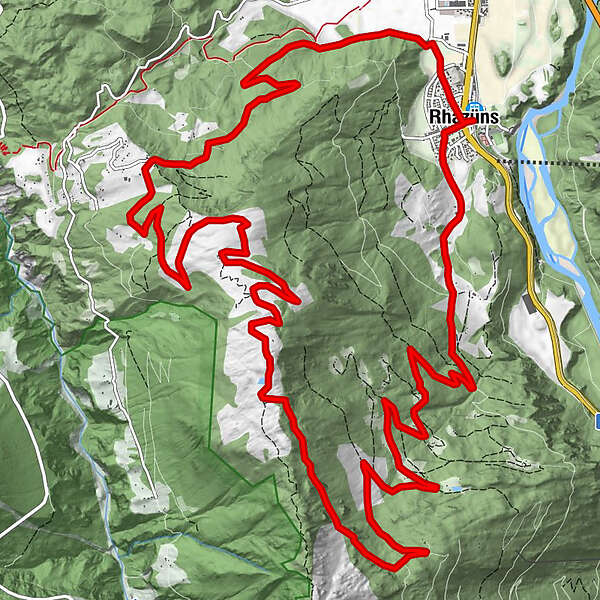
Alpenblick0,1 kmRazeno (657 m)0,1 kmRätus0,1 kmPfarrkirche Nossaduna0,2 kmSogn Paul0,5 kmAlp il Bot (1.506 m)13,5 kmScardanal17,2 kmRazeno (657 m)22,2 kmRätus22,2 kmAlpenblick22,4 km
- Beste seizoen
-
janfebmrtaprmeijunjulaugsepoktnovdec
- Maximale hoogte
- 1.761 m
- Bestemming
-
Rhäzüns
- Hoogteprofiel
-
 © outdooractive.com

- Auteur
-
De rondleiding 262 Rhäzünser Alp Sura wordt gebruikt door outdooractive.com op.
GPS Downloads


Rijbanen
Trial
Algemene info
Verfrissingsstop
Veelbelovend