© Graubünden
© ©️Filme von Draussen
© ©️Filme von Draussen
© ©️Filme von Draussen
© ©️Filme von Draussen
© ©️Filme von Draussen
© ©️Filme von Draussen
© ©️Filme von Draussen
© ©️Filme von Draussen
- Korte beschrijving
-
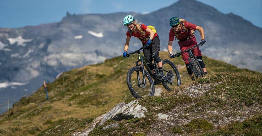
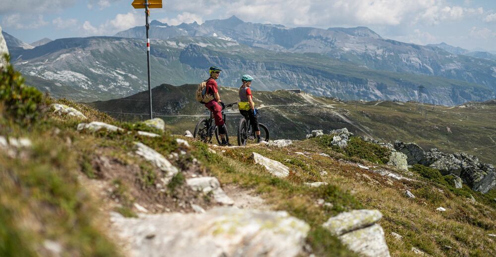
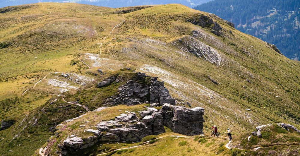
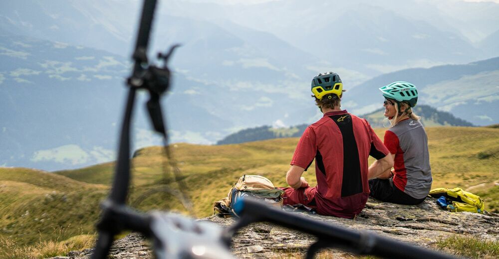
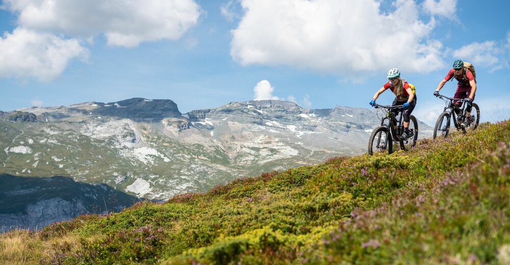
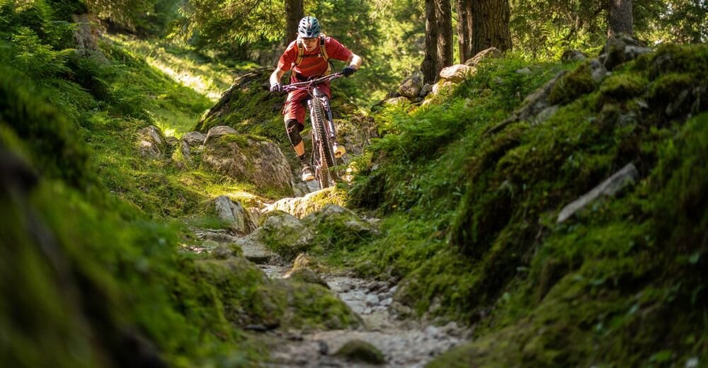
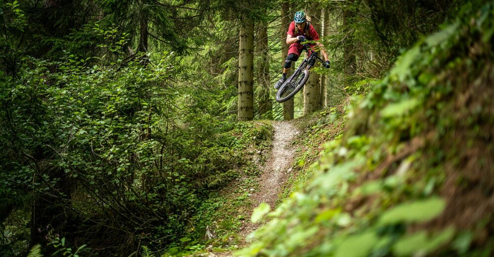
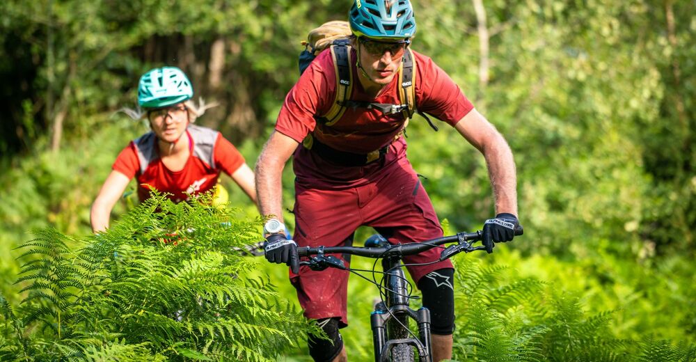
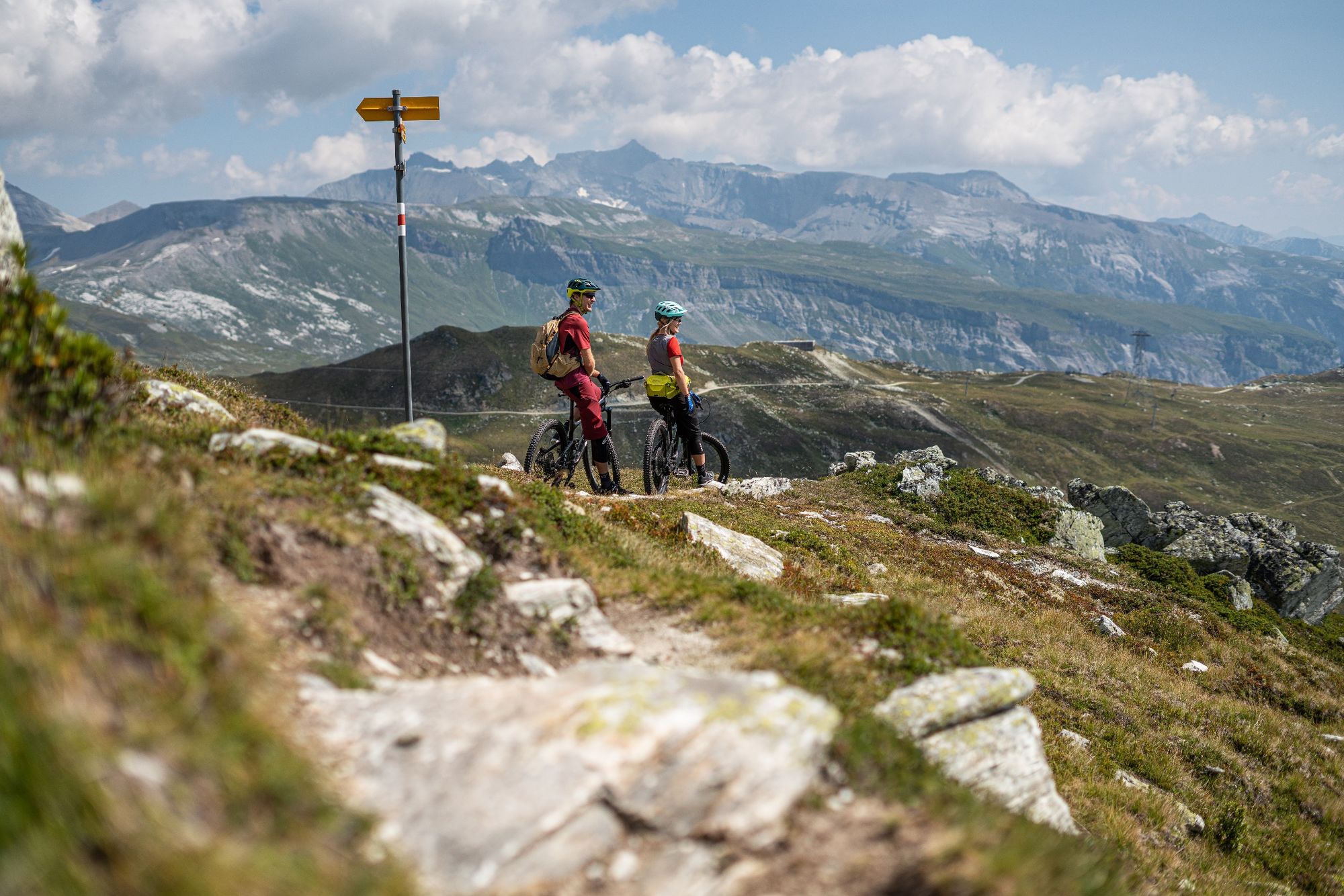
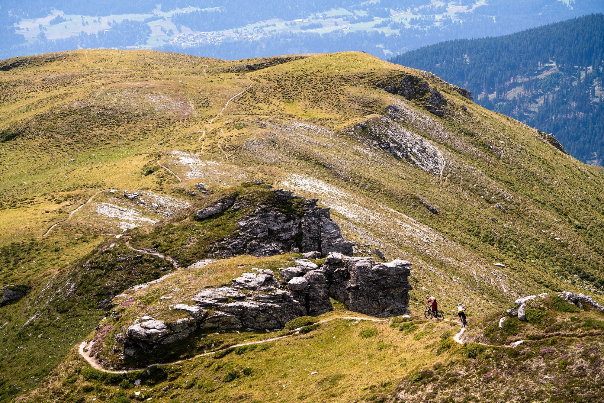
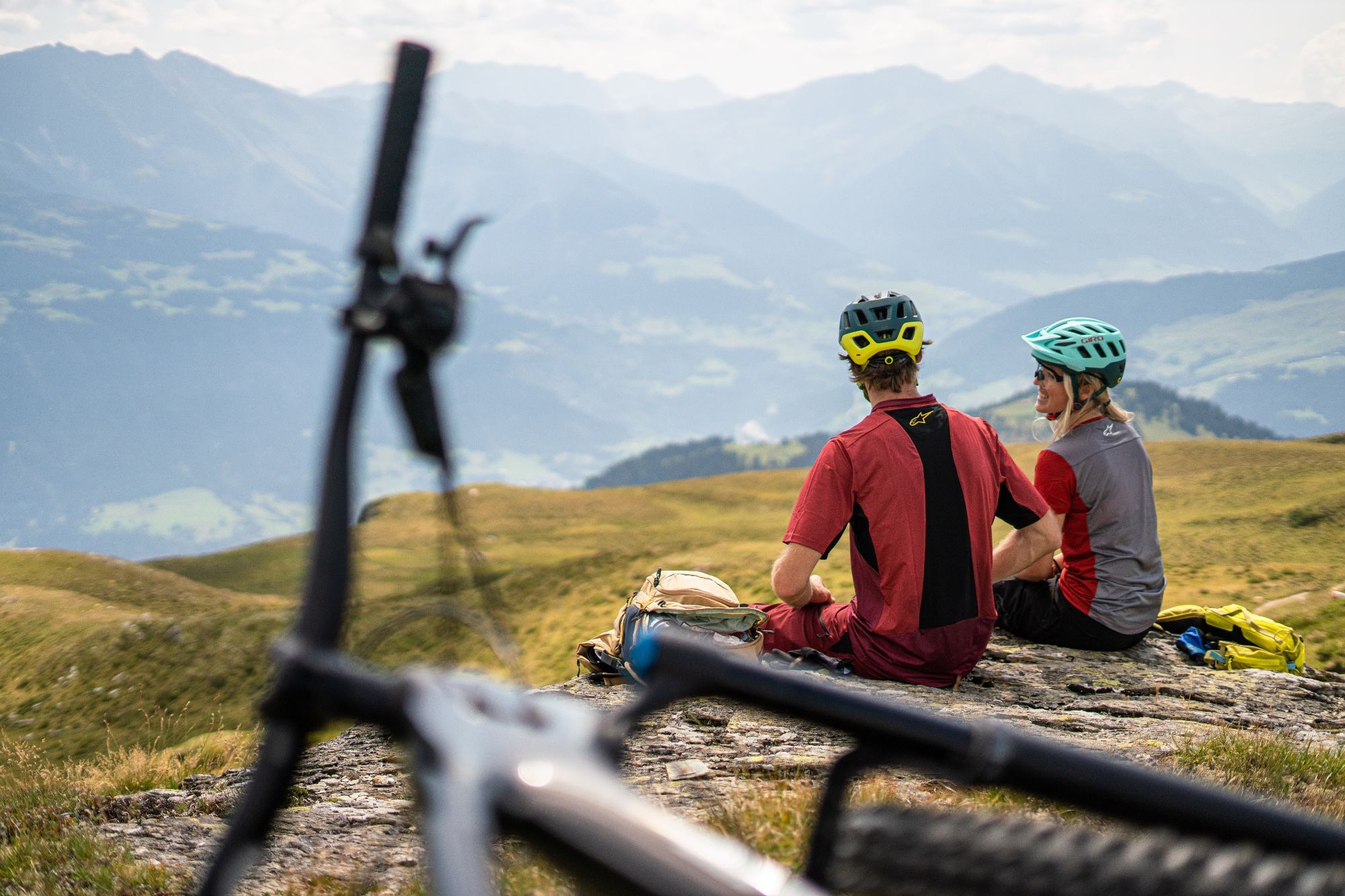
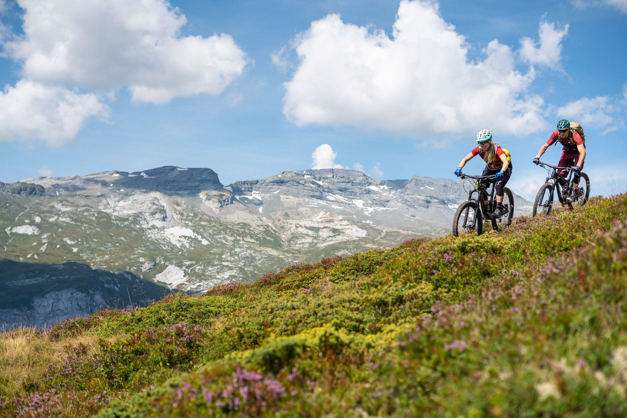
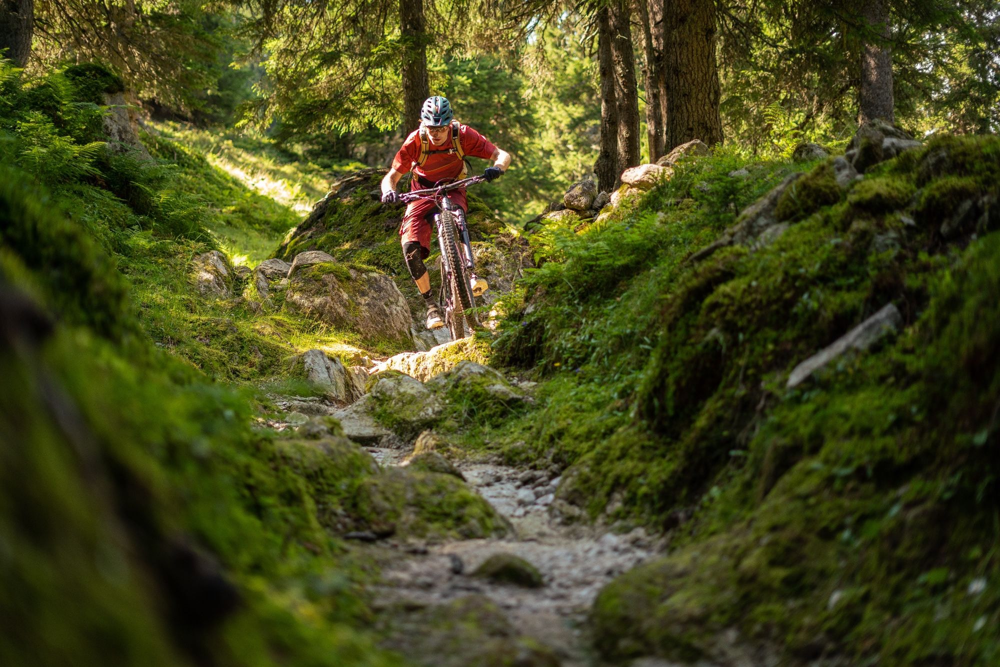
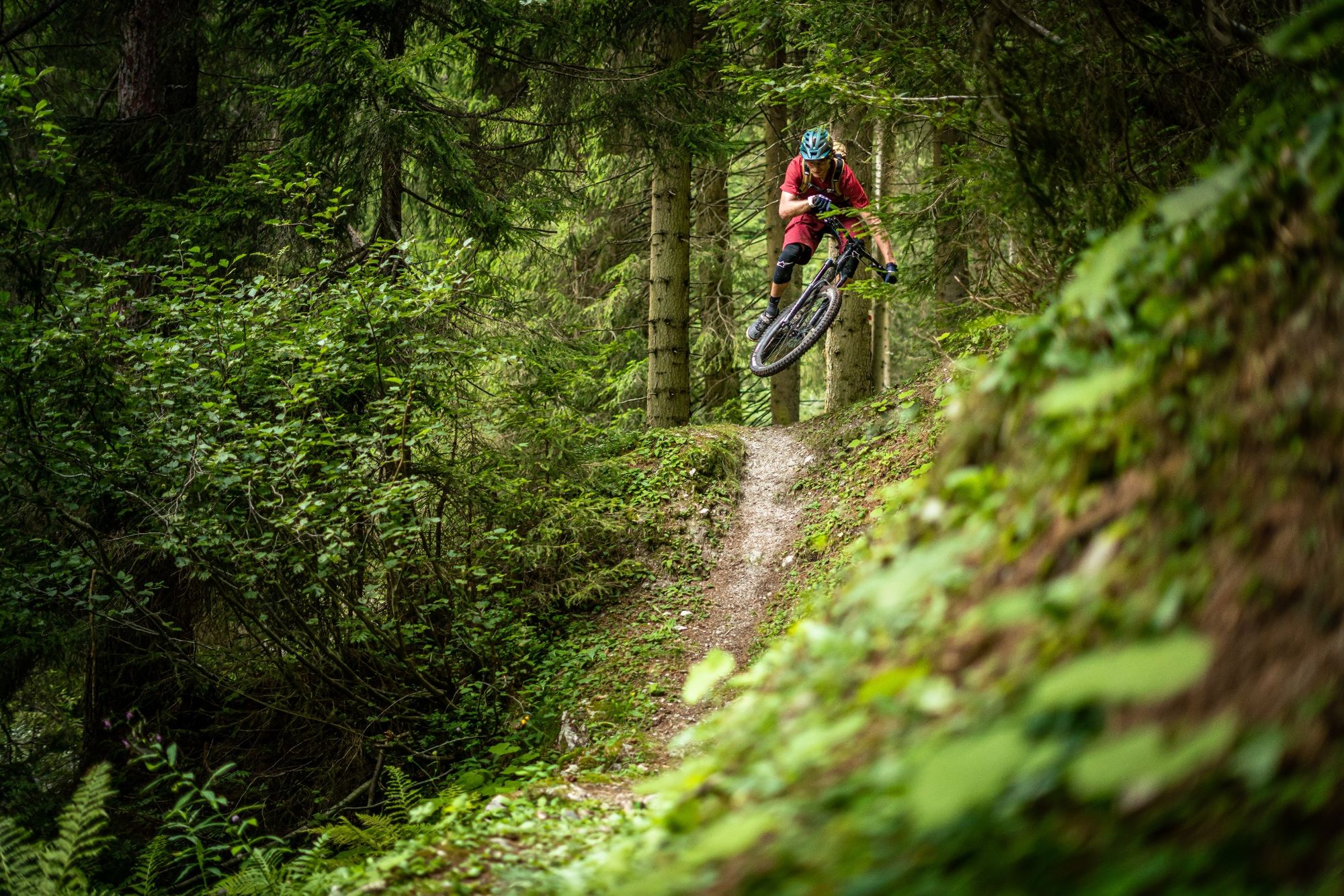
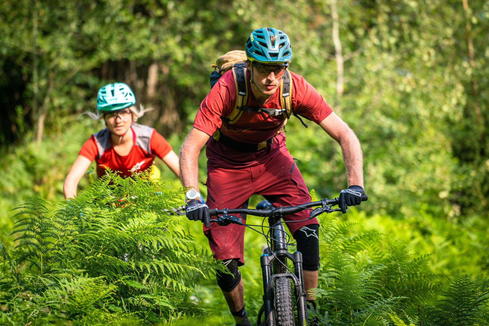
Summer is finally here, or at least in our regions. And that's exactly why the summer is so special and needs to be enjoyed well. For example, with a bike tour on the Crest da Tiarms.
- Moeilijkheid
-
medium
- Waardering
-
- Route
-
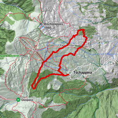
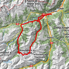
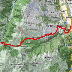
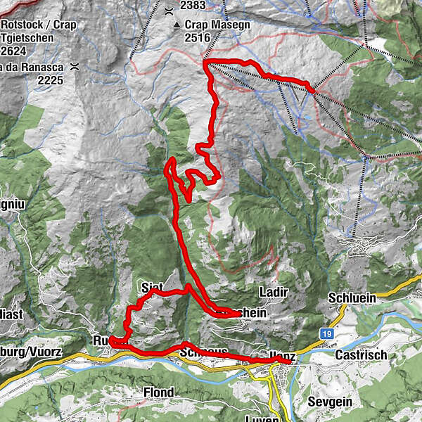
Alp da Schnaus6,4 kmTarschinas10,0 kmRuschein (1.155 m)15,3 kmSogn Glieci chapel17,6 kmKath. Pfarrkirche S. Florinus18,0 kmSeth (1.296 m)18,0 kmUstria Steila18,1 kmRuis (788 m)20,8 kmKatholische Kirche St. Andreas21,0 kmSax21,6 kmKapelle St. Maria Magdalena22,7 kmSpéz23,1 kmStiva Veglia23,3 kmSchnaus (720 m)23,4 kmReformierte Kirche Schnaus23,5 kmGrüneck24,5 kmCava24,8 kmLa Lutta25,2 kmIlanz (702 m)25,5 kmIlanz (698 m)25,6 km
- Beste seizoen
-
janfebmrtaprmeijunjulaugsepoktnovdec
- Maximale hoogte
- 2.465 m
- Bestemming
-
Rueun
- Hoogteprofiel
-
 © outdooractive.com


-

-
AuteurDe rondleiding Crest da Tiarms wordt gebruikt door outdooractive.com op.
GPS Downloads


Algemene info
Verfrissingsstop
Veelbelovend
Meer rondleidingen in de regio's
-
Glarnerland
341
-
Ilanz / Glion
188
-
Siat
113