© Engadin Tourismus AG - Silvan Caderas

© Engadin Tourismus AG - Silvan Caderas

© Pontresina Tourismus

- Korte beschrijving
-
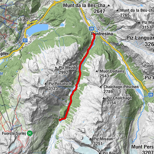
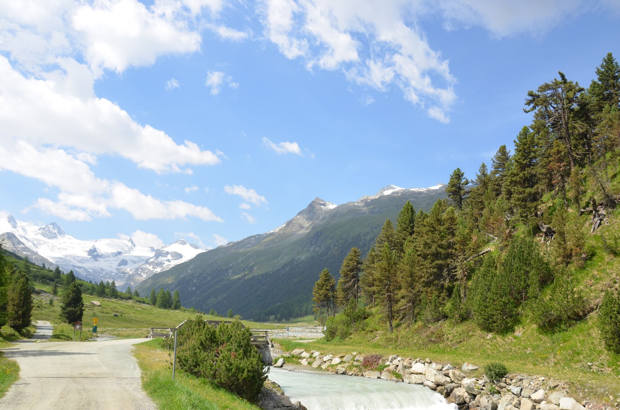
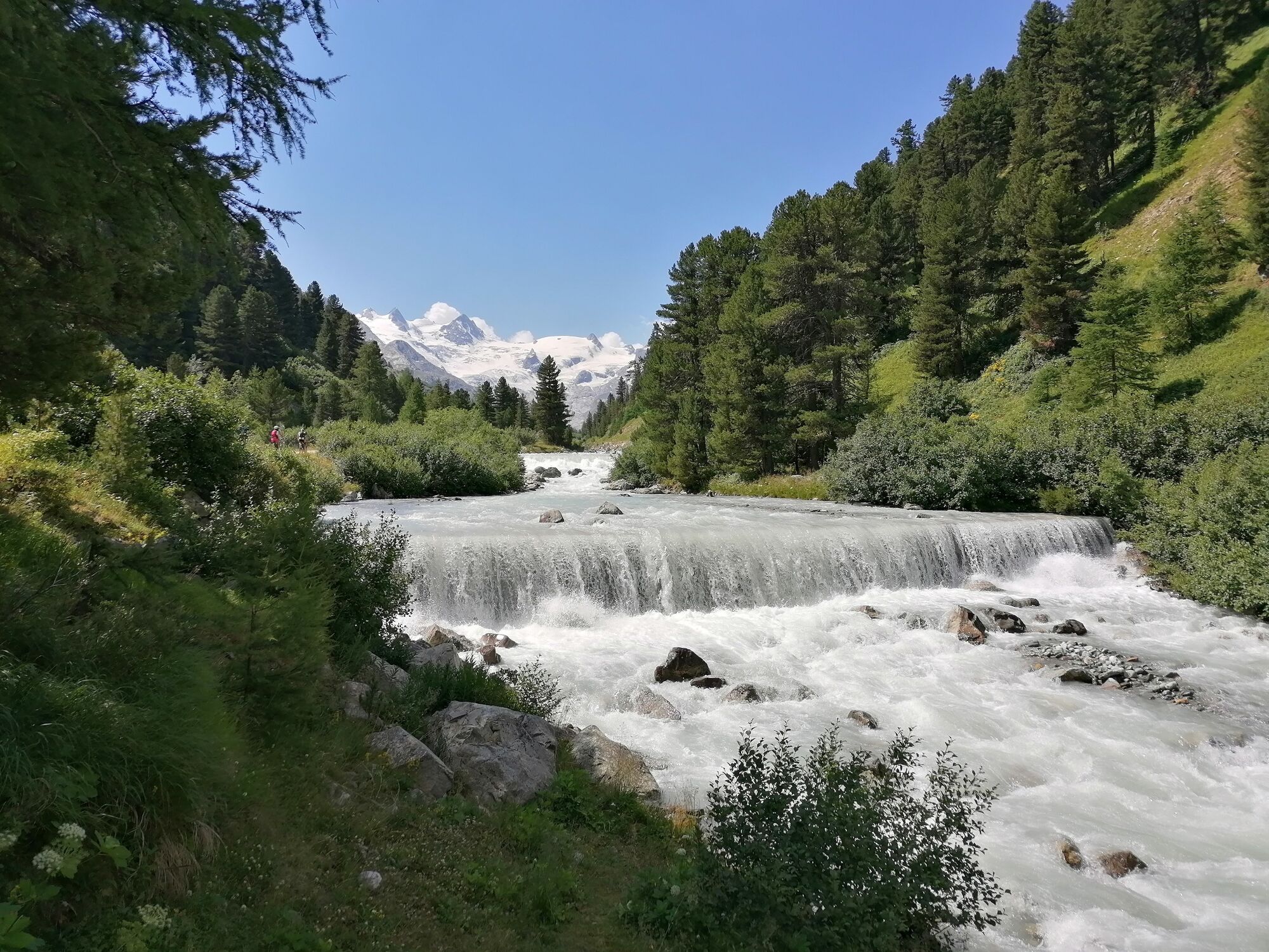
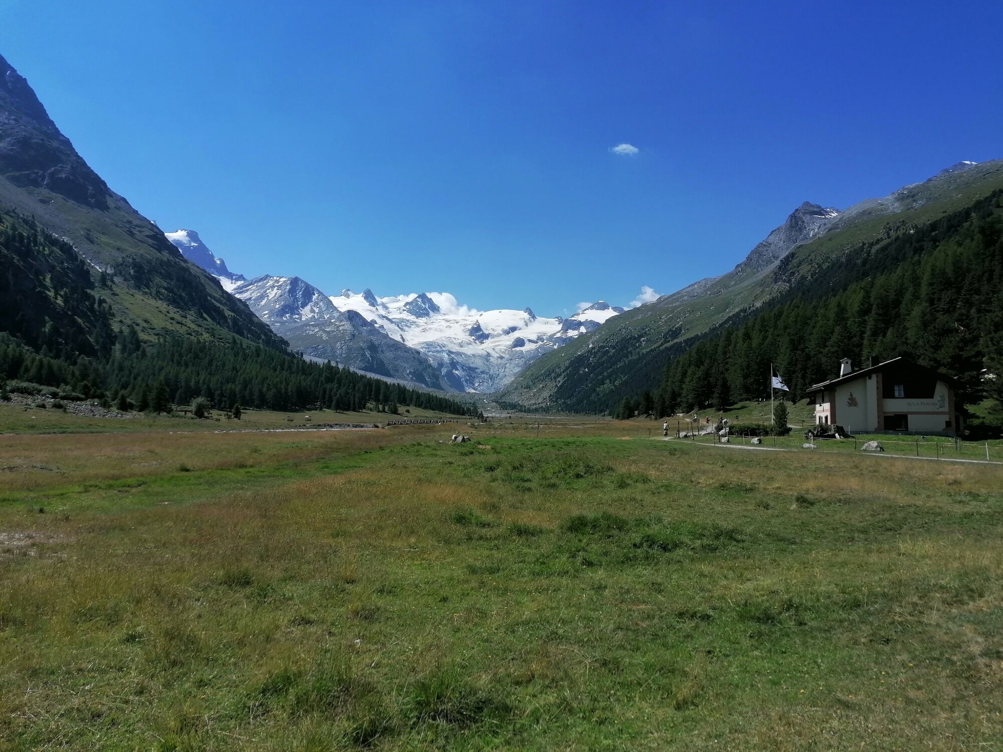
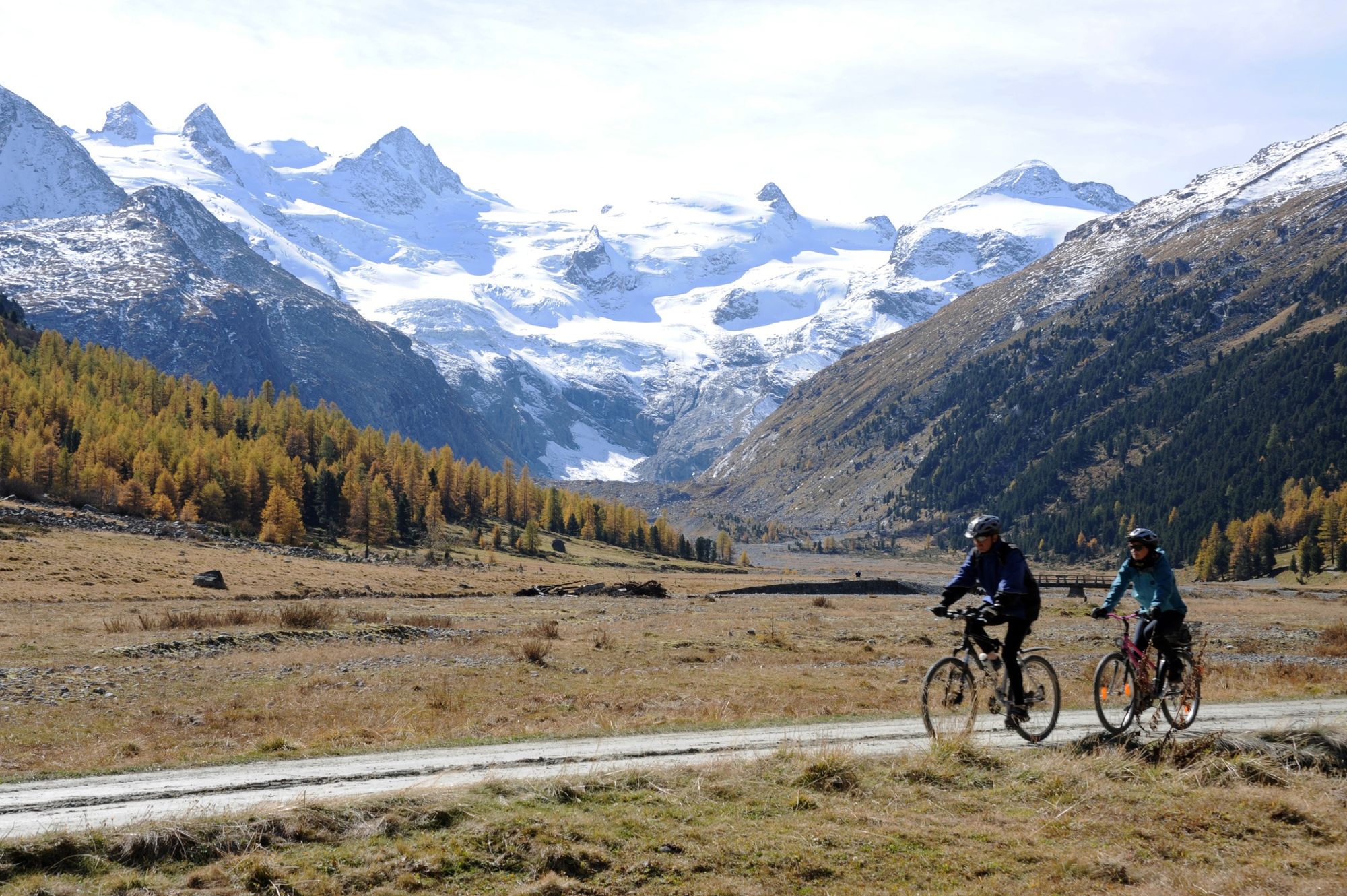
Not only is the Val Roseg regarded as one of the most beautiful side valleys in the Engadine, it is also easily accessible - either on foot or by mountain bike.
- Moeilijkheid
-
gemakkelijk
- Waardering
-
- Route
-
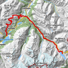
Pontresina (1.774 m)Hotel Restaurant Roseg Gletscher6,8 kmPontresina (1.774 m)13,7 km
- Beste seizoen
-
janfebmrtaprmeijunjulaugsepoktnovdec
- Maximale hoogte
- 1.998 m
- Bestemming
-
Restaurant Roseg Gletscher
- Hoogteprofiel
-
 © outdooractive.com
- Auteur
-
De rondleiding Pontresina - Val Roseg - Pontresina wordt gebruikt door outdooractive.com op.
GPS Downloads


Algemene info
Verfrissingsstop
Veelbelovend
Meer rondleidingen in de regio's