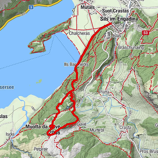
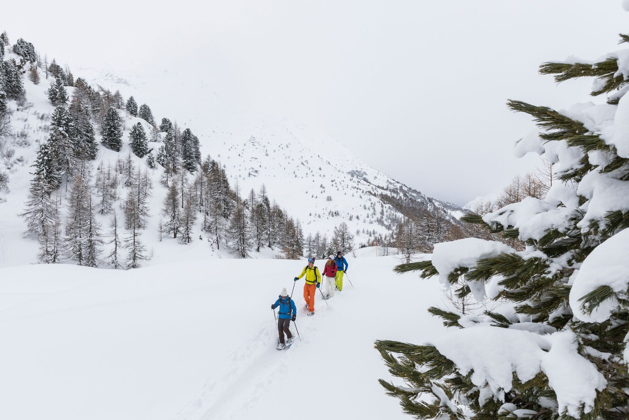
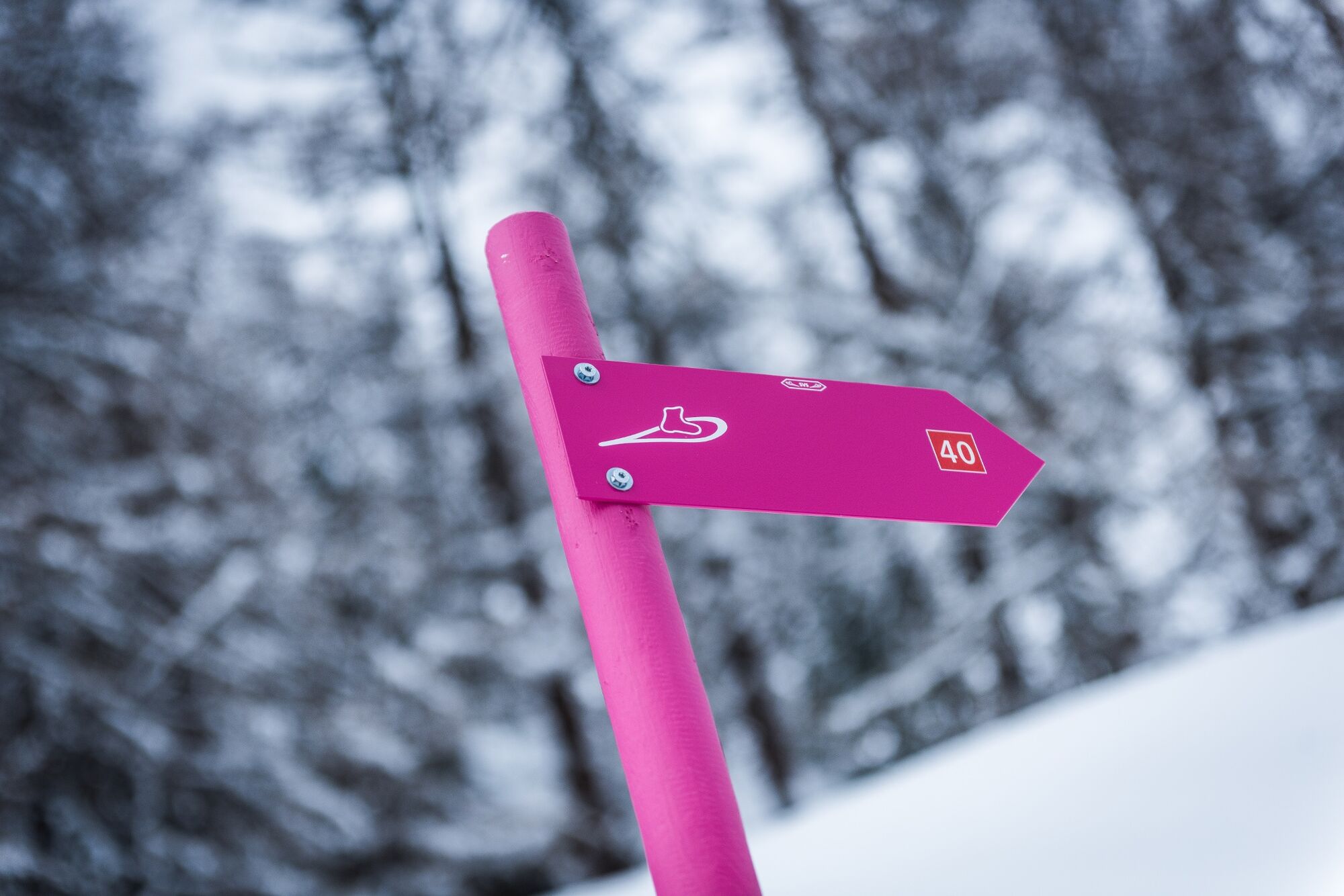
Snowshoe trail Muotta da Güvè (SwitzerlandMobility route 561)

Sneeuwschoen

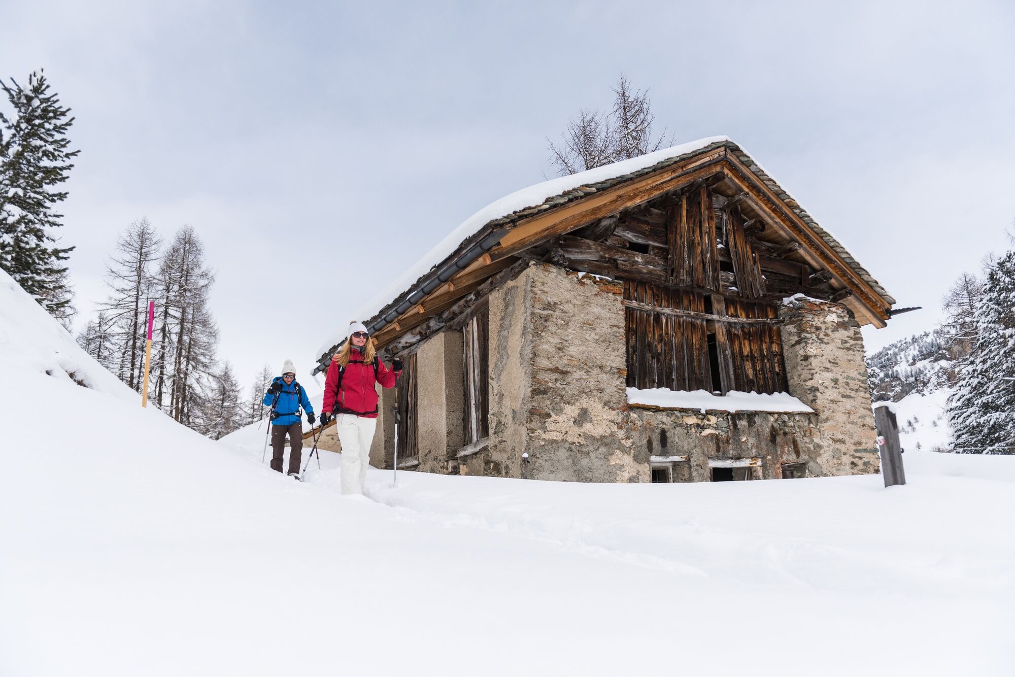
© Sils Tourismus - Gian Giovanoli, Sils Maria

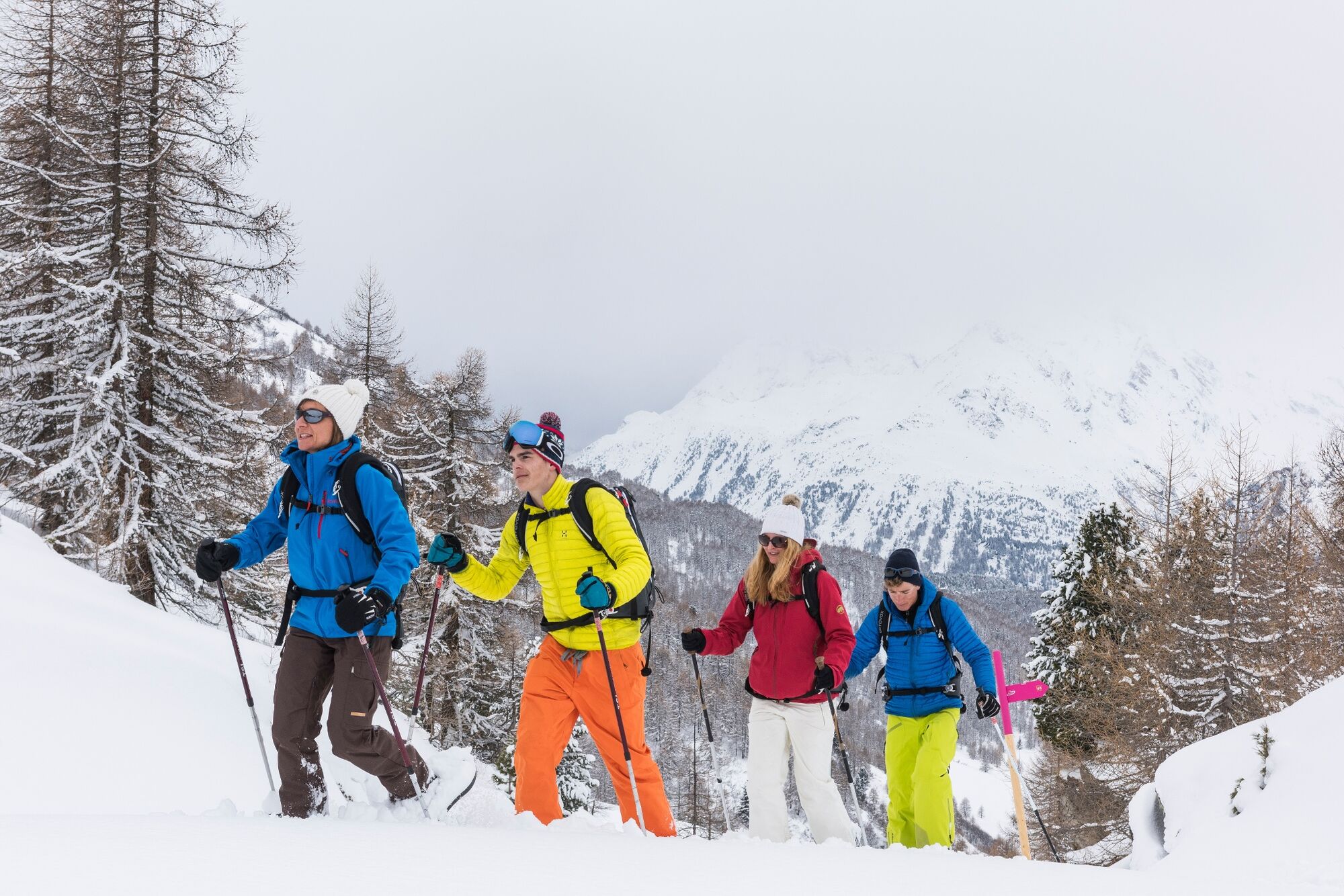
© Sils Tourismus - Gian Giovanoli, Sils Maria

© Sils Tourismus - Gian Giovanoli, Sils Maria

© Sils Tourismus - Gian Giovanoli, Sils Maria

- Korte beschrijving
-
The ascend leads from Lake Sils through unspoilt mountain forest and across glades to an altitude of 2,036 metres. The views of Lake Sils, the majestic mountains, the largely untouched Val Fedoz, the Val Fex and the wintry Upper Engadine are captivating. Head back through mountain forest via the boathouse to Sils Maria.
- Moeilijkheid
-
medium
- Waardering
-
- Route
-
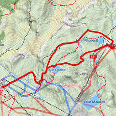
Sils im Engadin (1.803 m)Spuonda Laret0,2 kmPizs0,2 kmSils/Segl Maria Barchiröls (1.802 m)0,9 kmIls Barchiröls0,9 kmMuotta da Güvè (2.036 m)2,9 kmIls Barchiröls4,2 kmSils/Segl Maria Barchiröls (1.802 m)4,4 kmPizs5,1 kmSpuonda Laret5,1 kmSils im Engadin (1.803 m)5,2 km
- Beste seizoen
-
augsepoktnovdecjanfebmrtaprmeijunjul
- Maximale hoogte
- 2.031 m
- Bestemming
-
Barrier near Café Grond
- Hoogteprofiel
-
 © outdooractive.com
- Auteur
-
De rondleiding Snowshoe trail Muotta da Güvè (SwitzerlandMobility route 561) wordt gebruikt door outdooractive.com op.
GPS Downloads


Algemene info
Veelbelovend
Meer rondleidingen in de regio's
-
Veltlin / Valtellina
54
-
Engadin St. Moritz
49
-
Sils
21