© Unbekannt


- Korte beschrijving
-
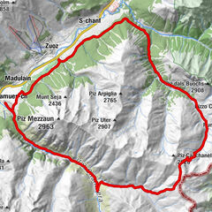
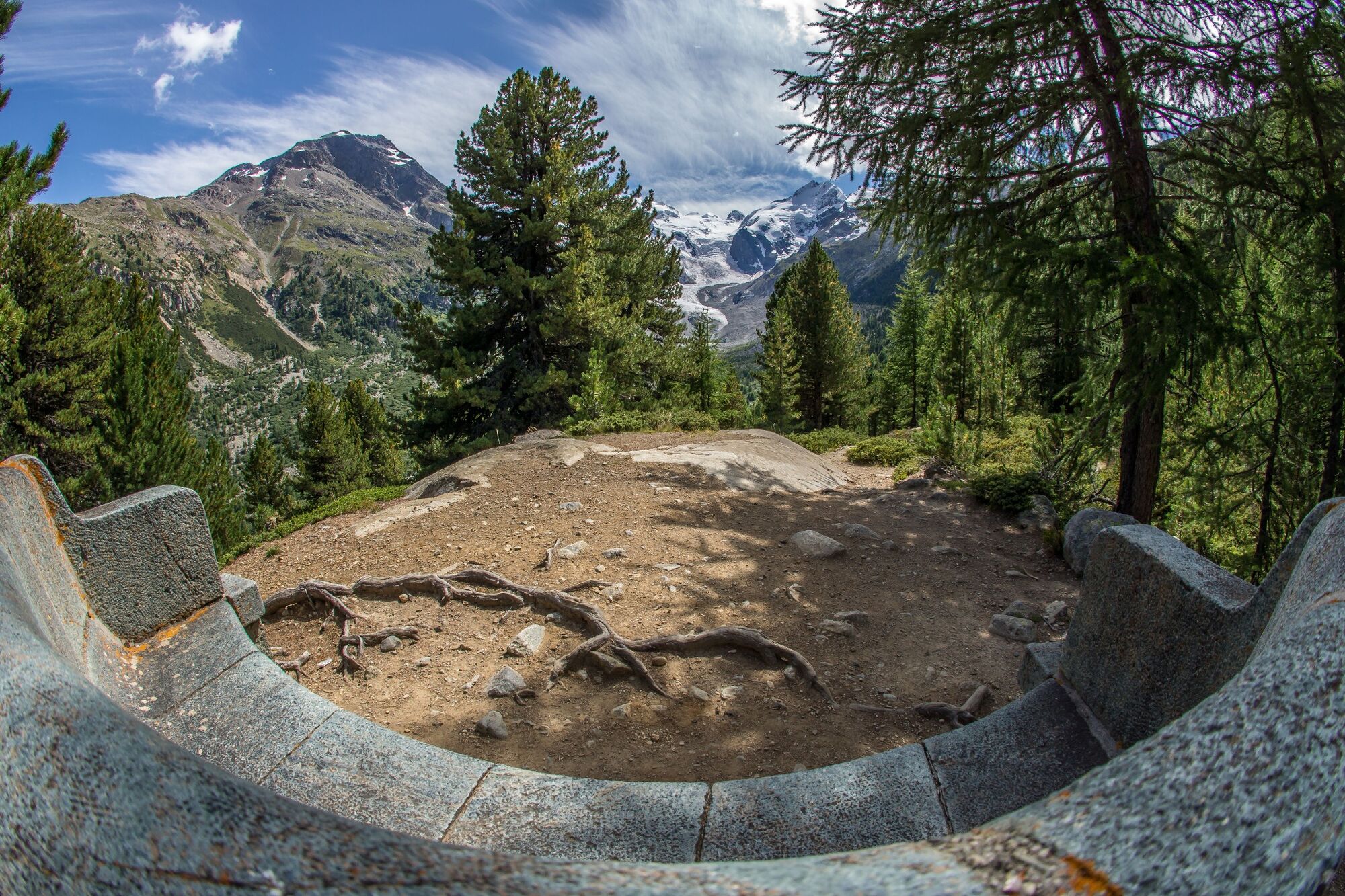
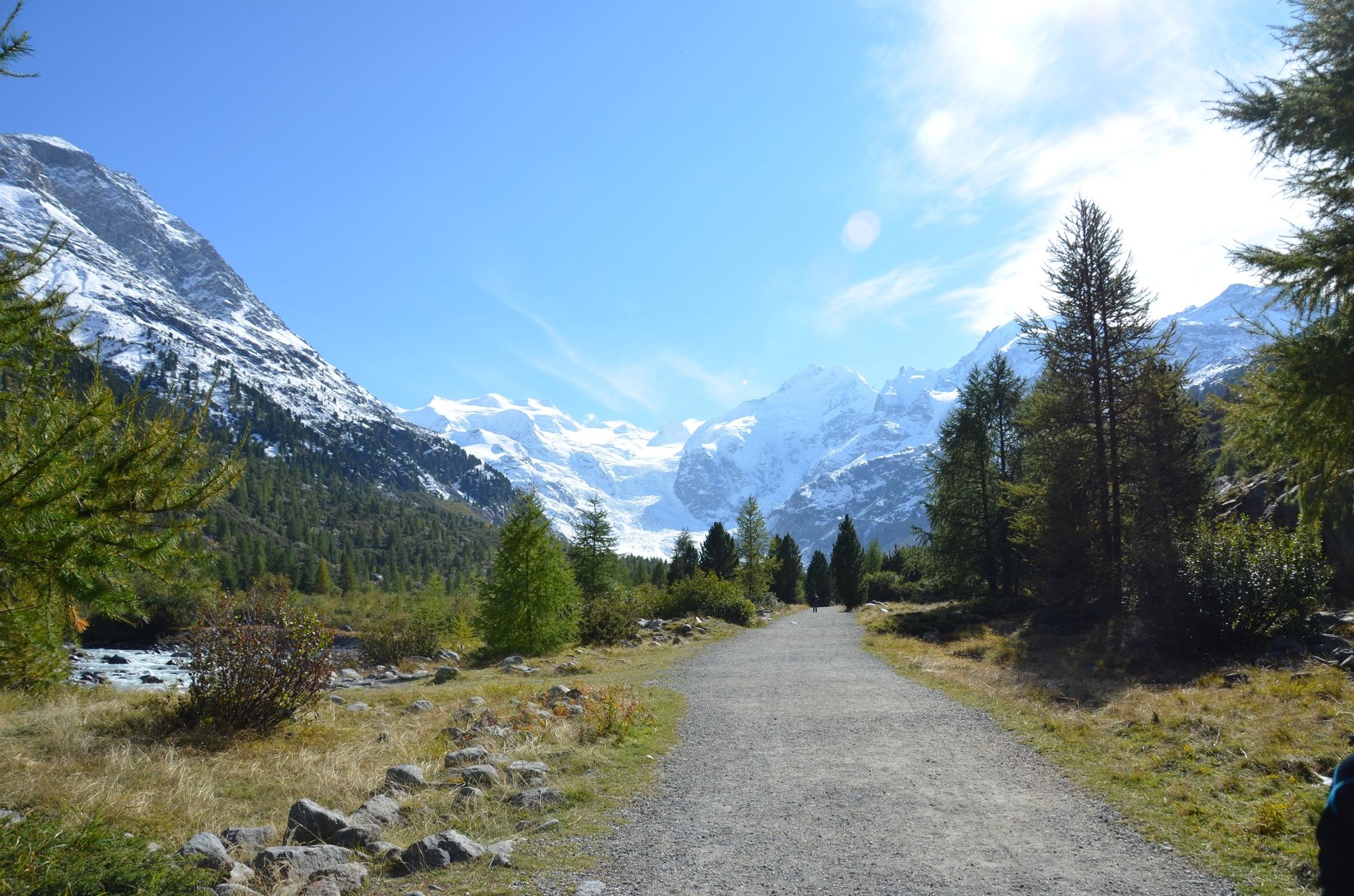
This run is a must for any trail runner exploring the Engadin for the first time, traversing a calm, intimate valley landscape, with magnificent views of the Morteratsch Glacier.
- Moeilijkheid
-
gemakkelijk
- Waardering
-
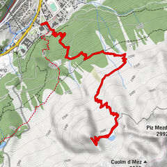
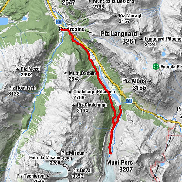
- Route
-
Pontresina (1.774 m)Pontresina (1.805 m)0,5 kmMorteratsch (1.896 m)12,0 km
- Beste seizoen
-
janfebmrtaprmeijunjulaugsepoktnovdec
- Maximale hoogte
- 2.049 m
- Bestemming
-
Morteratsch railway station
- Hoogteprofiel
-
 © outdooractive.com
- Auteur
-
De rondleiding Morteratsch wordt gebruikt door outdooractive.com op.
GPS Downloads


Algemene info
Verfrissingsstop
Veelbelovend
Meer rondleidingen in de regio's
-
Veltlin / Valtellina
76
-
Engadin St. Moritz
104
-
Pontresina
56