

- Korte beschrijving
-
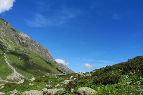
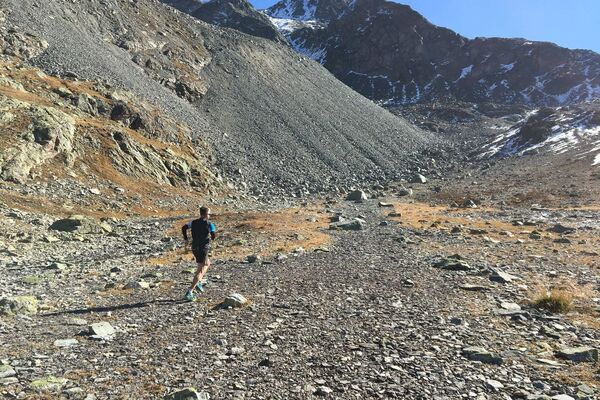
Avid runners can run from St. Moritz Dorf up to Piz Nair, thereby ascending over 1,200 vertical meters in one go.
- Moeilijkheid
-
zwaar
- Waardering
-
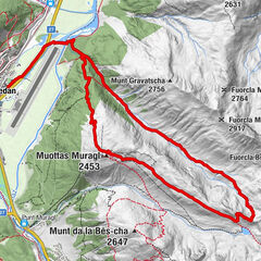
- Route
-
Sankt Moritz (1.822 m)0,2 kmSt. Moritz (Standseilbahn) (1.775 m)0,3 kmSur Chaunt1,4 kmSpielplatz Salastrains2,2 kmSalastrains2,2 kmAlp Giop3,5 kmChamanna6,6 kmPiz Nair8,5 km
- Beste seizoen
-
janfebmrtaprmeijunjulaugsepoktnovdec
- Maximale hoogte
- 3.044 m
- Bestemming
-
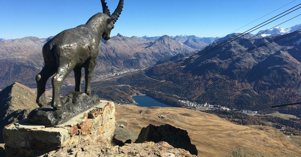
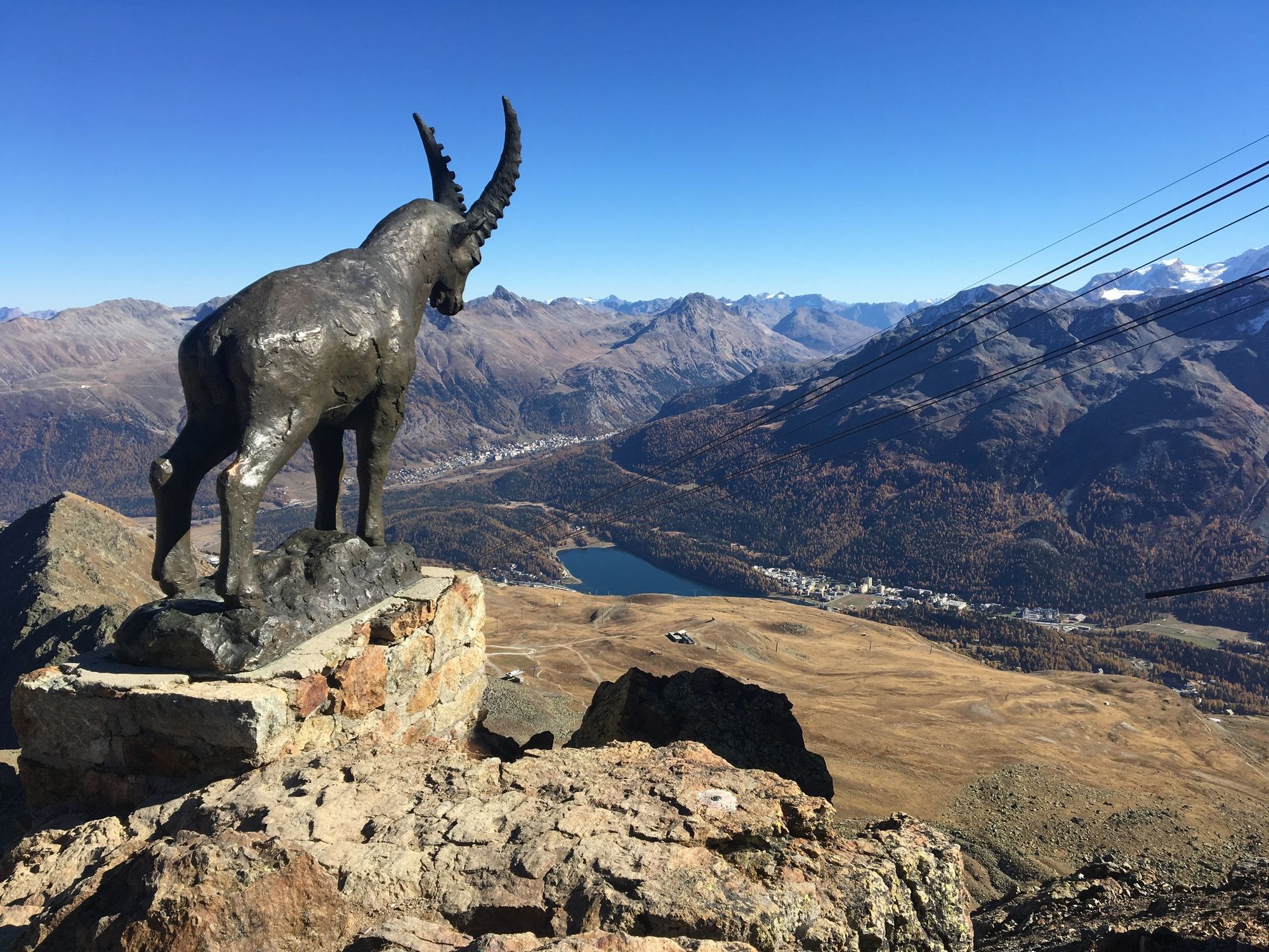
Piz Nair
- Hoogteprofiel
-
 © outdooractive.com
- Auteur
-
De rondleiding Piz Nair Vertical Run wordt gebruikt door outdooractive.com op.
GPS Downloads


Algemene info
Verfrissingsstop
Veelbelovend
Meer rondleidingen in de regio's
-
Veltlin / Valtellina
71
-
Engadin St. Moritz
104
-
St. Moritz
61