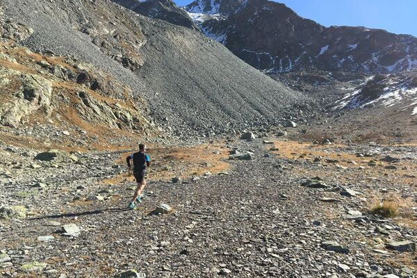
© Engadin St. Moritz Mountains - Michele Iosi
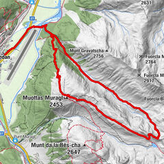
© Engadin St. Moritz Mountains - Roberto Moiola
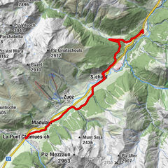
© Engadin St. Moritz Mountains - Roberto Moiola
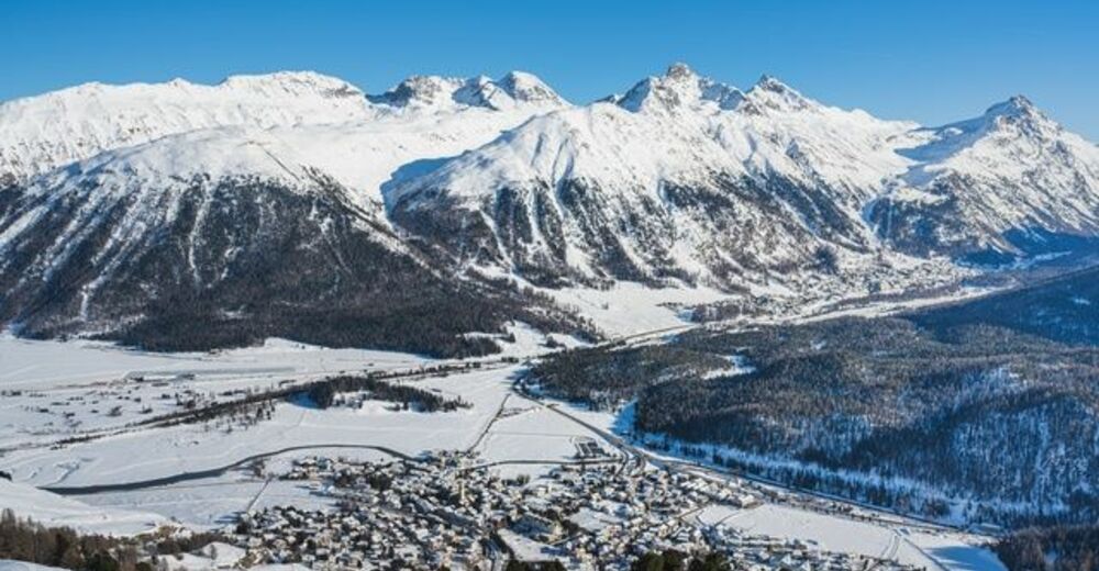
© Engadin St. Moritz Mountains - Roberto Moiola

- Korte beschrijving
-
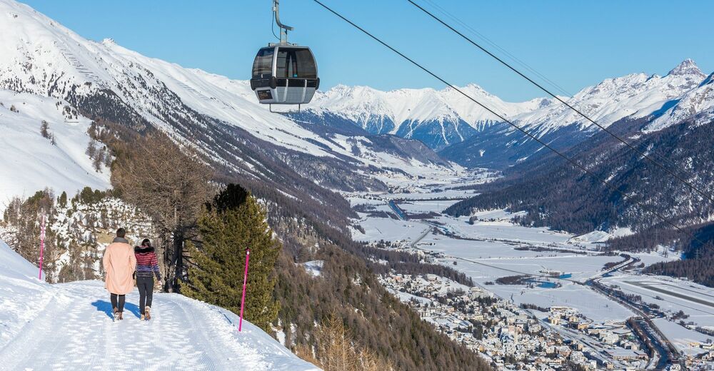
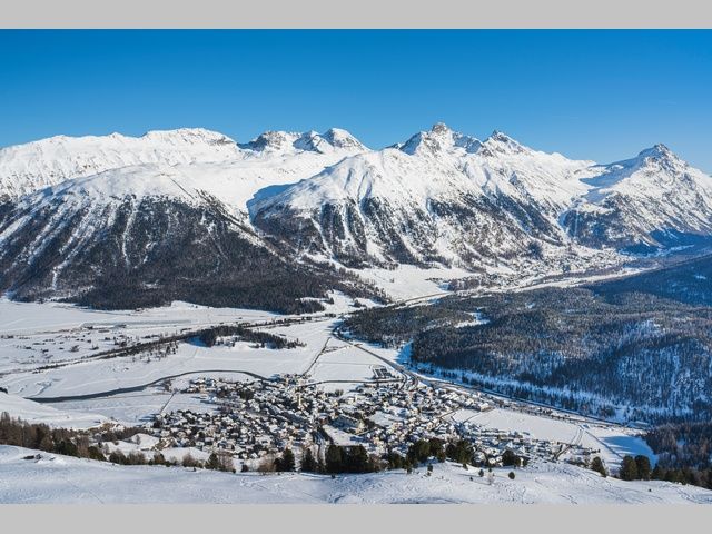
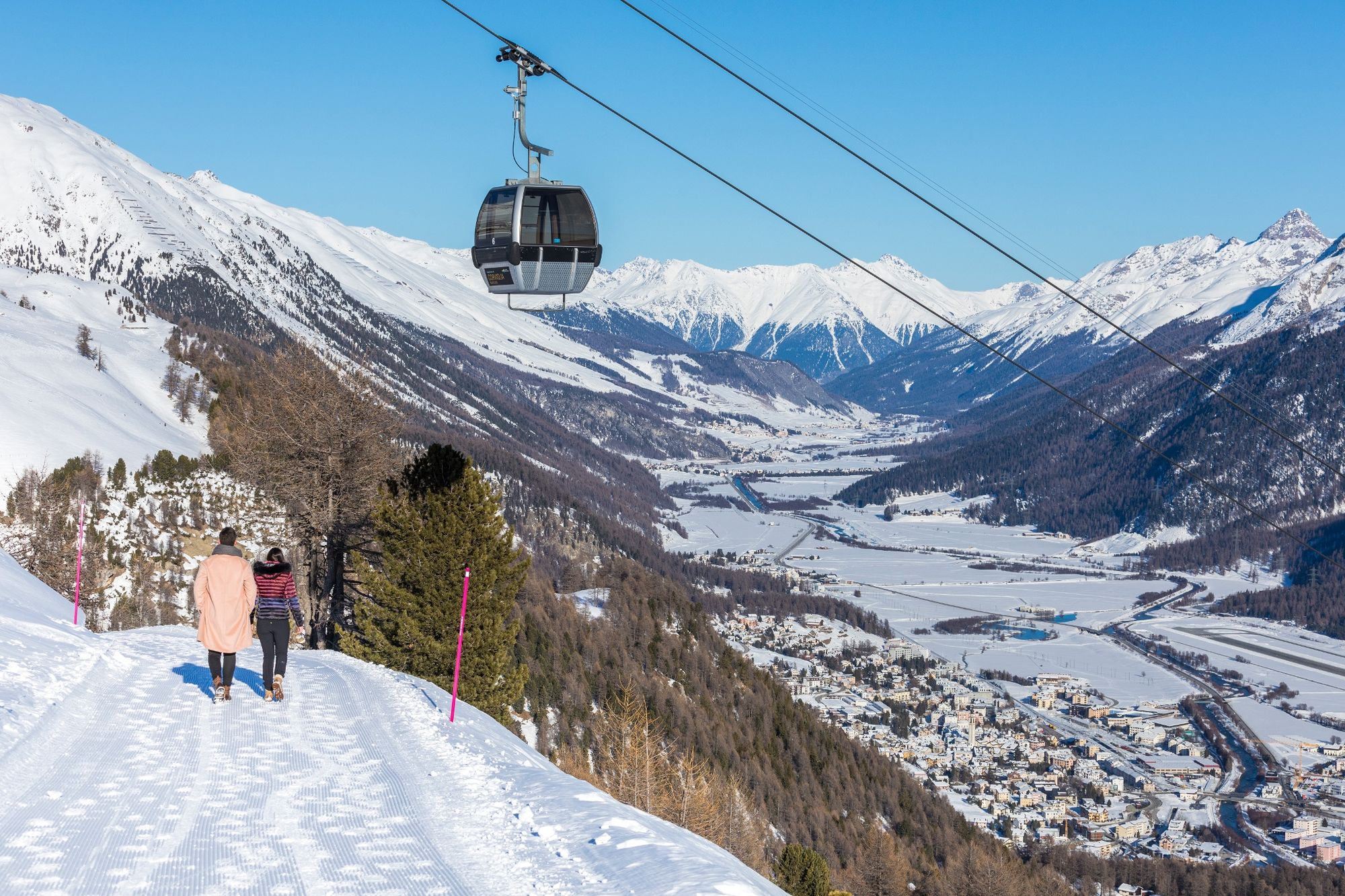
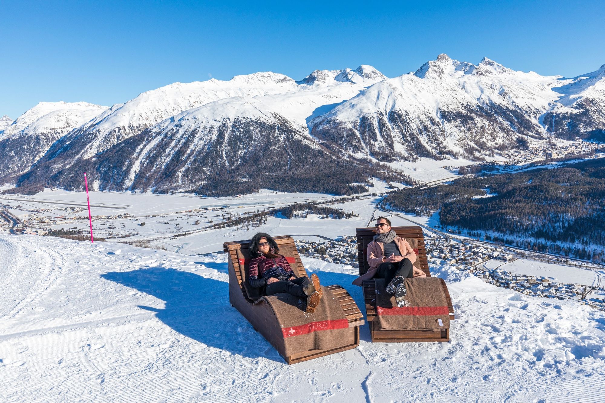
First through a fairytale forest above St. Moritz and then in open terrain, with a beautiful view on the Upper Engadin, to Marguns
- Moeilijkheid
-
medium
- Waardering
-
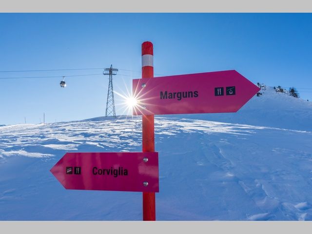
- Route
-
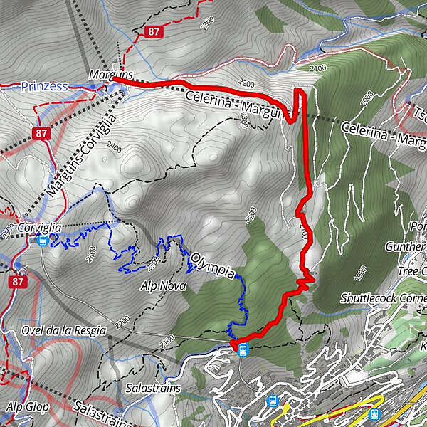
ChantarellaSur ChauntChantarella0,1 kmSankt Moritz (1.822 m)0,2 kmMarguns (Val Saluver)3,5 kmMarguns3,5 km
- Beste seizoen
-
janfebmrtaprmeijunjulaugsepoktnovdec
- Maximale hoogte
- 2.273 m
- Bestemming
-
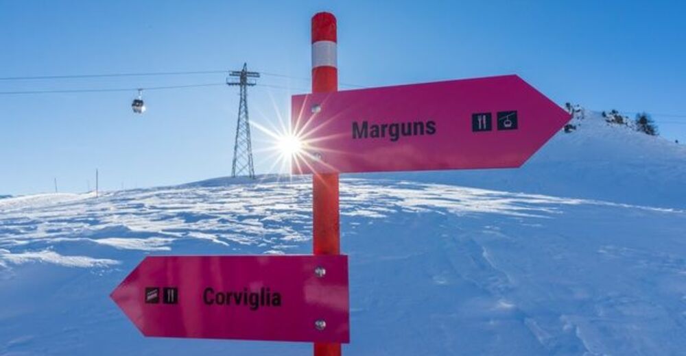
Marguns, Celerina
- Hoogteprofiel
-
 © outdooractive.com
- Auteur
-
De rondleiding Winter Trail Running: Chantarella-Marguns wordt gebruikt door outdooractive.com op.
GPS Downloads


Algemene info
Verfrissingsstop
Veelbelovend
Meer rondleidingen in de regio's
-
Veltlin / Valtellina
75
-
Engadin St. Moritz
104
-
Corviglia
62