
- Korte beschrijving
-
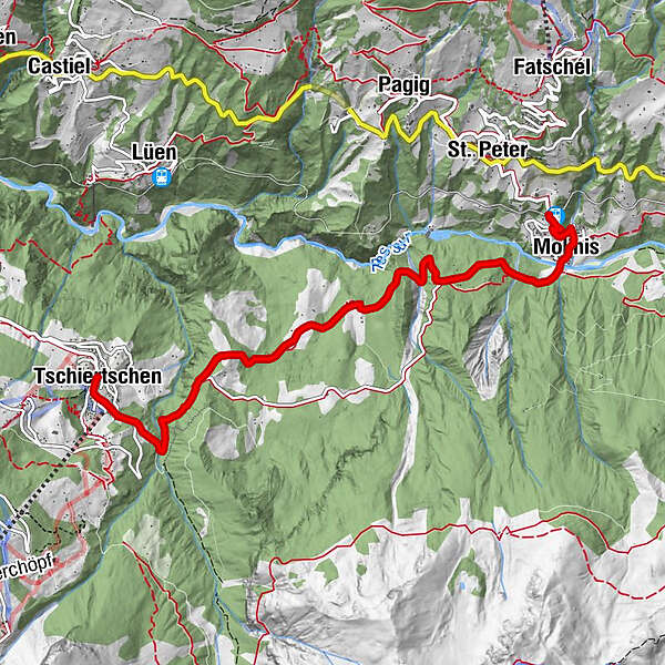
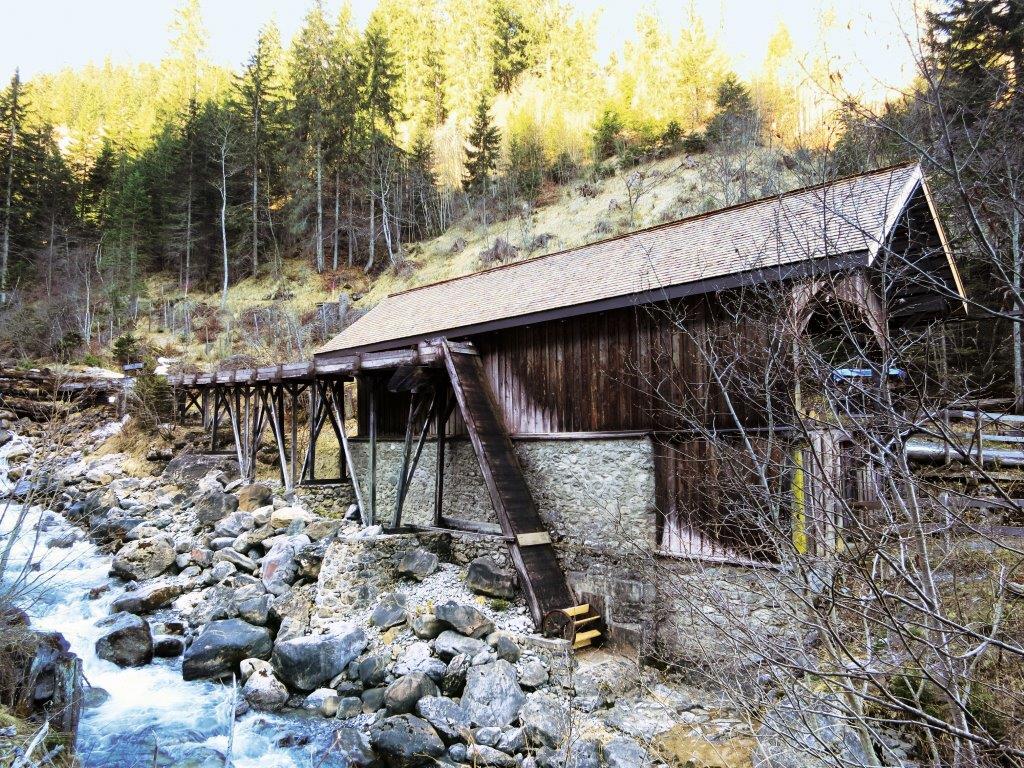
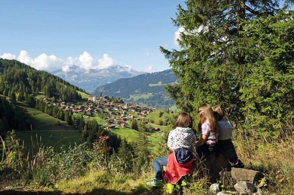
There is no shop along the main road, instead you find plenty of meadows, pastures, forest and a bridge across the Plessur river.
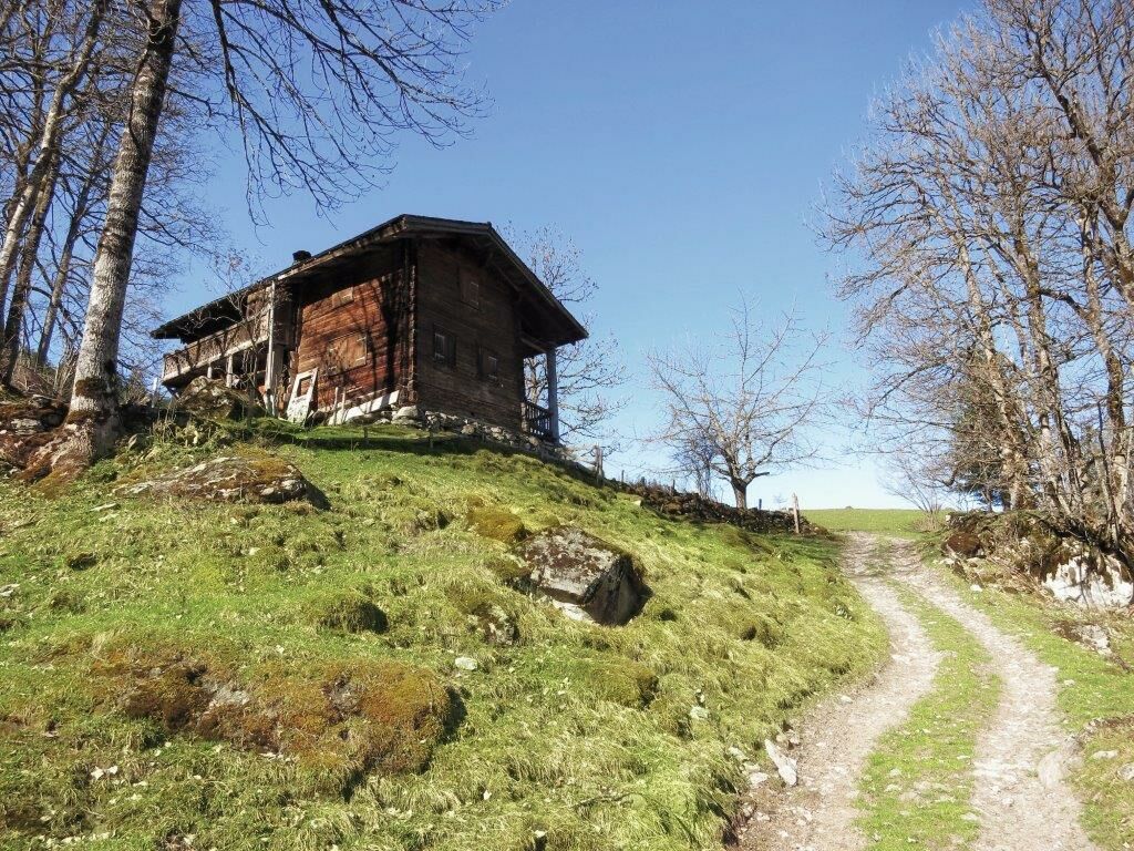
The hike starts on a small road and continues on meadow and forest paths. You may begin the hike in Tschiertschen as well as Molinis.
- Moeilijkheid
-
gemakkelijk
- Waardering
-
- Route
-
Central0,0 kmTschiertschen (1.343 m)0,0 kmMolinis (1.137 m)5,6 kmKirche Molinis5,7 kmSt. Peter-Molinis (1.157 m)6,2 km
- Beste seizoen
-
janfebmrtaprmeijunjulaugsepoktnovdec
- Maximale hoogte
- 1.344 m
- Bestemming
-
Molinis Bahnhof
- Hoogteprofiel
-
 © outdooractive.com
- Auteur
-
De rondleiding Cultural Hike: Tschiertschen - Molinis wordt gebruikt door outdooractive.com op.
GPS Downloads


Algemene info
Verfrissingsstop
Cultureel/Historisch
Veelbelovend