- Korte beschrijving
-
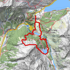
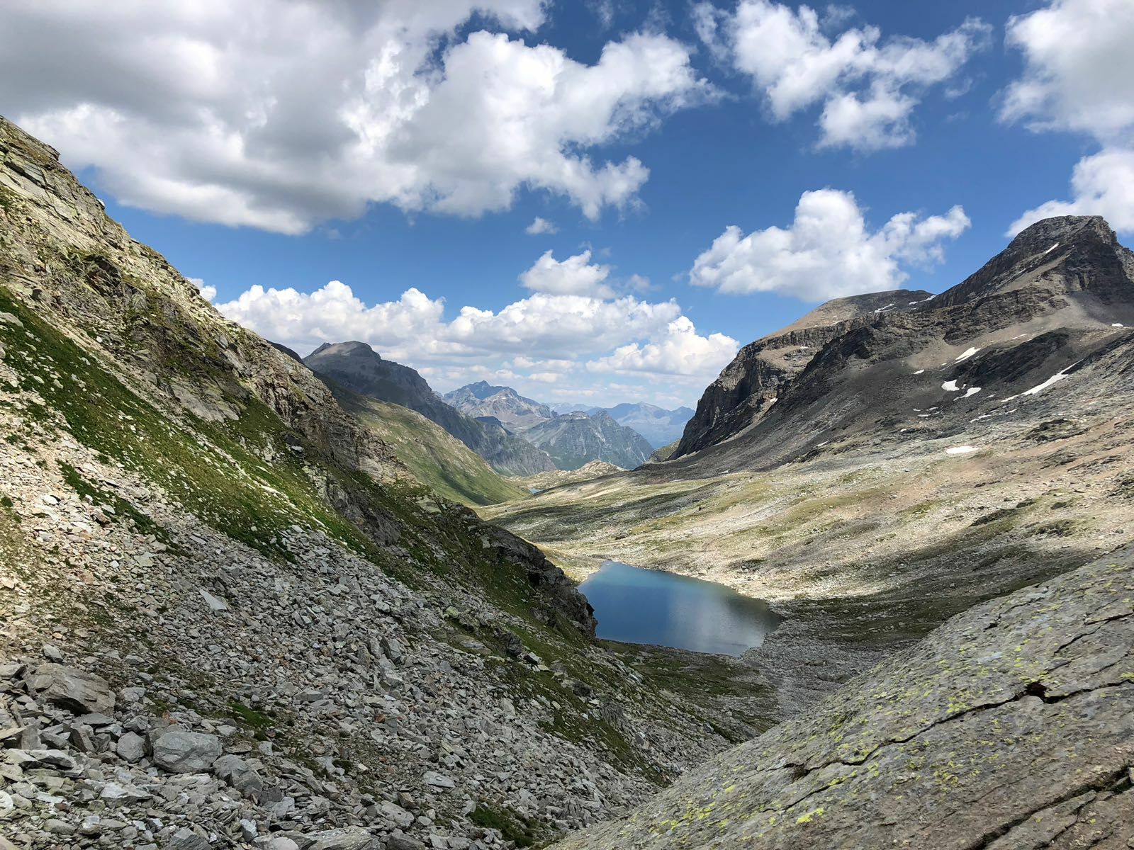
The highest part of the Val Maroz presents itself as an extensive valley basin, at the edges of which the wide saddles of the Pass da la Duana and the Pass da Roda open up.
- Moeilijkheid
-
zwaar
- Waardering
-
- Route
-
Sils im Bergell (1.097 m)0,0 kmLò0,2 kmCarnella0,4 kmTombal (1.545 m)2,0 kmPlän Vest (1.822 m)3,0 kmLöbbia (1.968 m)4,1 kmCadrin (2.136 m)5,3 kmPass da la Duana (2.691 m)7,7 kmBergalgapass (2.793 m)9,8 kmUf da Buel11,1 kmOlta Stofel (2.074 m)14,5 kmVorder Bergalga17,2 kmLoretzhaus (1.983 m)18,1 kmJuppa (2.003 m)18,3 km
- Beste seizoen
-
janfebmrtaprmeijunjulaugsepoktnovdec
- Maximale hoogte
- 2.793 m
- Bestemming
-
Val d'Avers
- Hoogteprofiel
-
 © outdooractive.com

- Auteur
-
De rondleiding crossing the pass dal Bargalga wordt gebruikt door outdooractive.com op.
GPS Downloads


Meer rondleidingen in de regio's
-
Comer See
760
-
Val Bregaglia Engadin
466
-
Soglio
78