From Pranzaira to the Albigna hut

Logo From Pranzaira to the Albigna hut
Toerdatums
9,75km
1.194 - 2.324m
Afstand
202hm
1.059hm
Opstijging
03:00h
 
Duur
Korte beschrijving

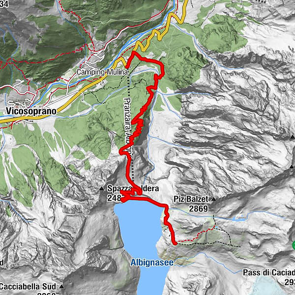
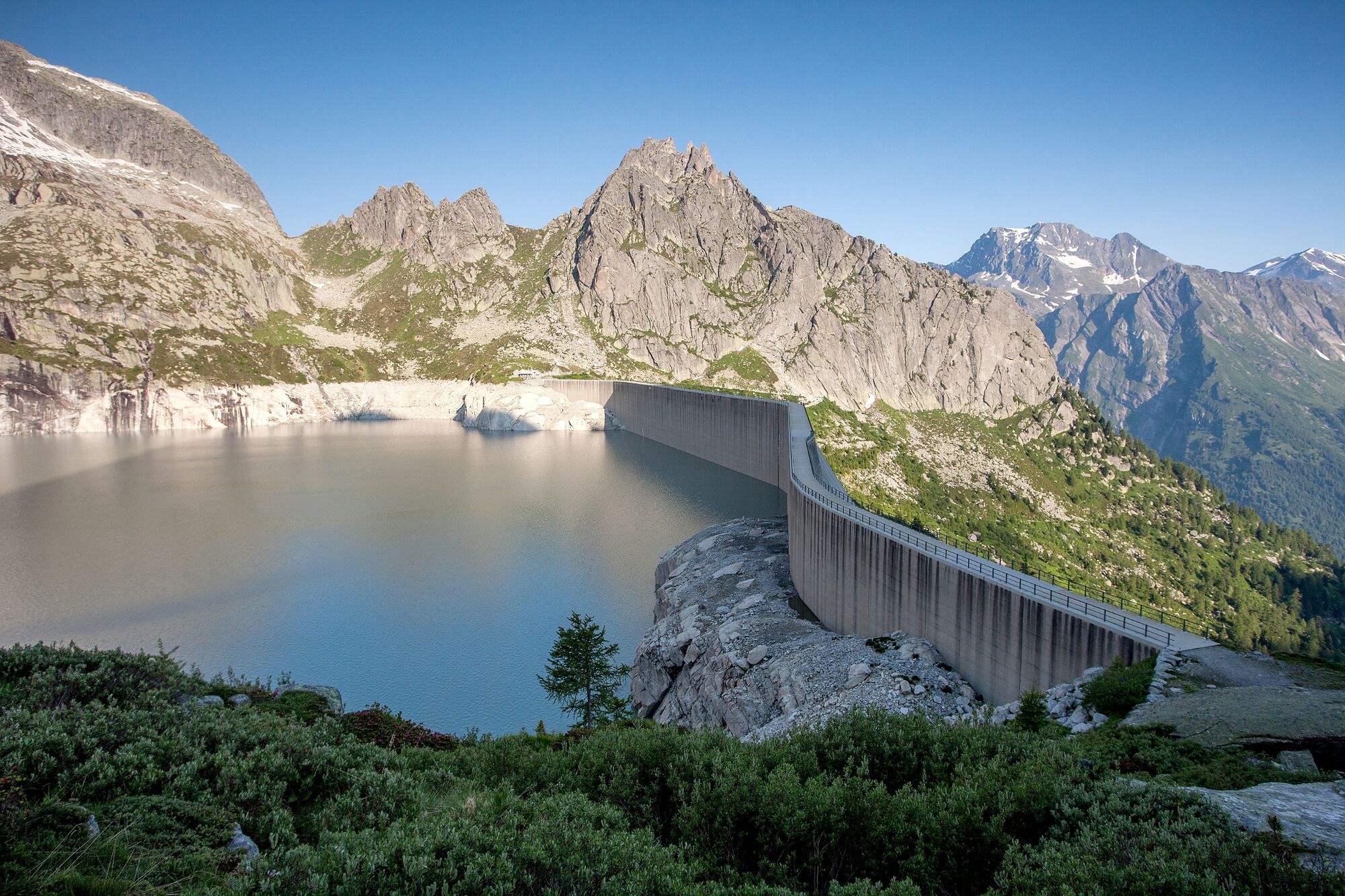
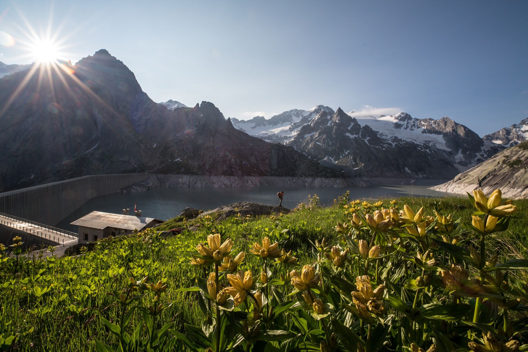
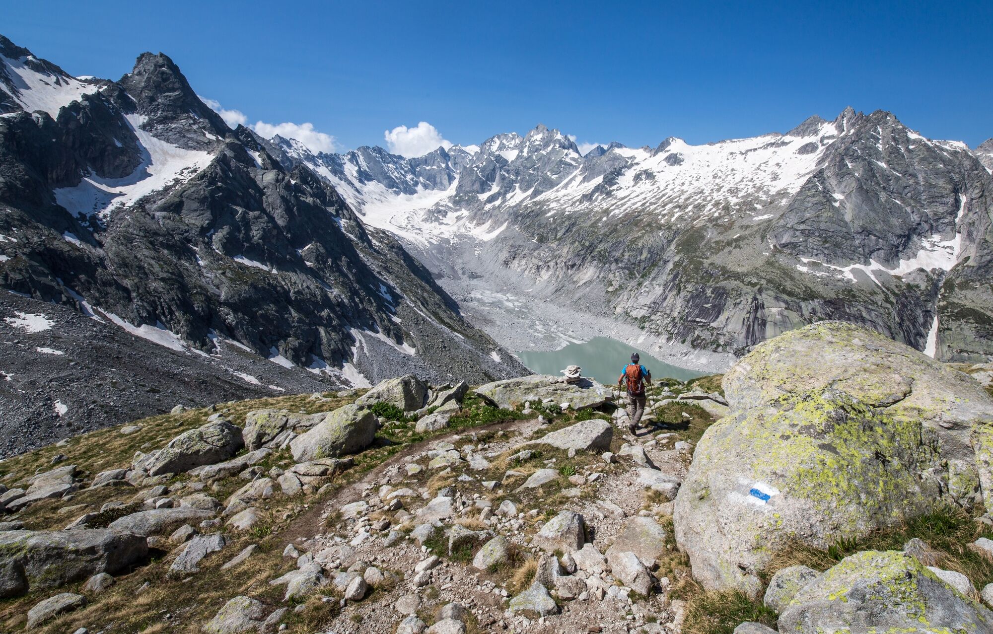
You can reach the refuge with a short walk of just over half an hour if you use the small mountain railway. The complete hike from Pranzaira takes about 3 hours.

Moeilijkheid
medium
Waardering
Techniek
Conditie
Landschap
Belevenis
Route
Albigna (2.100 m)
Albigna (1.315 m)
2,2 km
Albignahütte
2,2 km
Pranzaira
9,6 km

Beste seizoen
jan
feb
mrt
apr
mei
jun
jul
aug
sep
okt
nov
dec
Maximale hoogte
2.324 m
Bestemming

Pranzaira

Hoogteprofiel
© outdooractive.com

Auteur
De rondleiding From Pranzaira to the Albigna hut wordt gebruikt door outdooractive.com op.

Algemene beoordeling

5

0

%

4

0

%

3

0

%

2

0

%

1

0

%

Fout
Er is een fout opgetreden. Probeer het opnieuw.
Bedankt voor uw beoordeling

Waardering is verwijderd

GPS Downloads
  • GPX GPS Exchange Format (XML)
  • KML Google Earth, Google Maps
QR Downloadcodes voor mobiele telefoons

Algemene info

Verfrissingsstop
Veelbelovend
Meer rondleidingen in de regio's

Populaire rondleidingen in de omgeving

Radons - Tga / Val Faller

medium Wandelen
14,21km | 717hm | 05:00h

Bergtour: Bernina-Tour im Engadin, Etappe 5

medium Wandelen
14,52km | 48hm | 04:00h

The Muretto pass

zwaar Wandelen
15,98km | 762hm | 06:00h

Sentiero Bernina Sud -From Maloja to Val Poschiavo

medium Wandelen
58,38km | 3011hm | 24:00h