© Engadin Samnaun Val Müstair - Andrea Badrutt, Chur

- Korte beschrijving
-
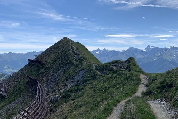
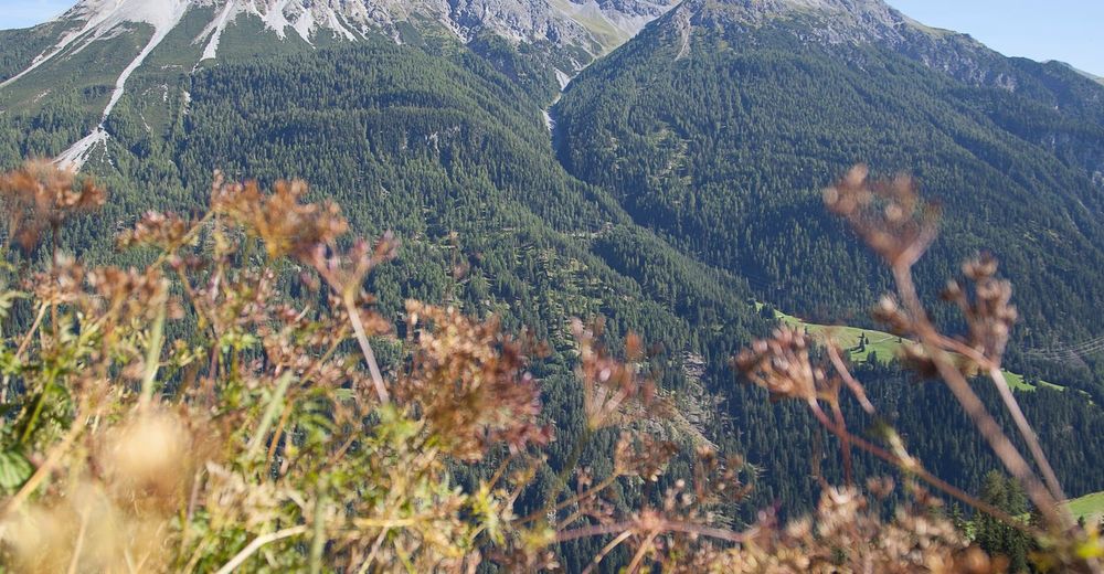
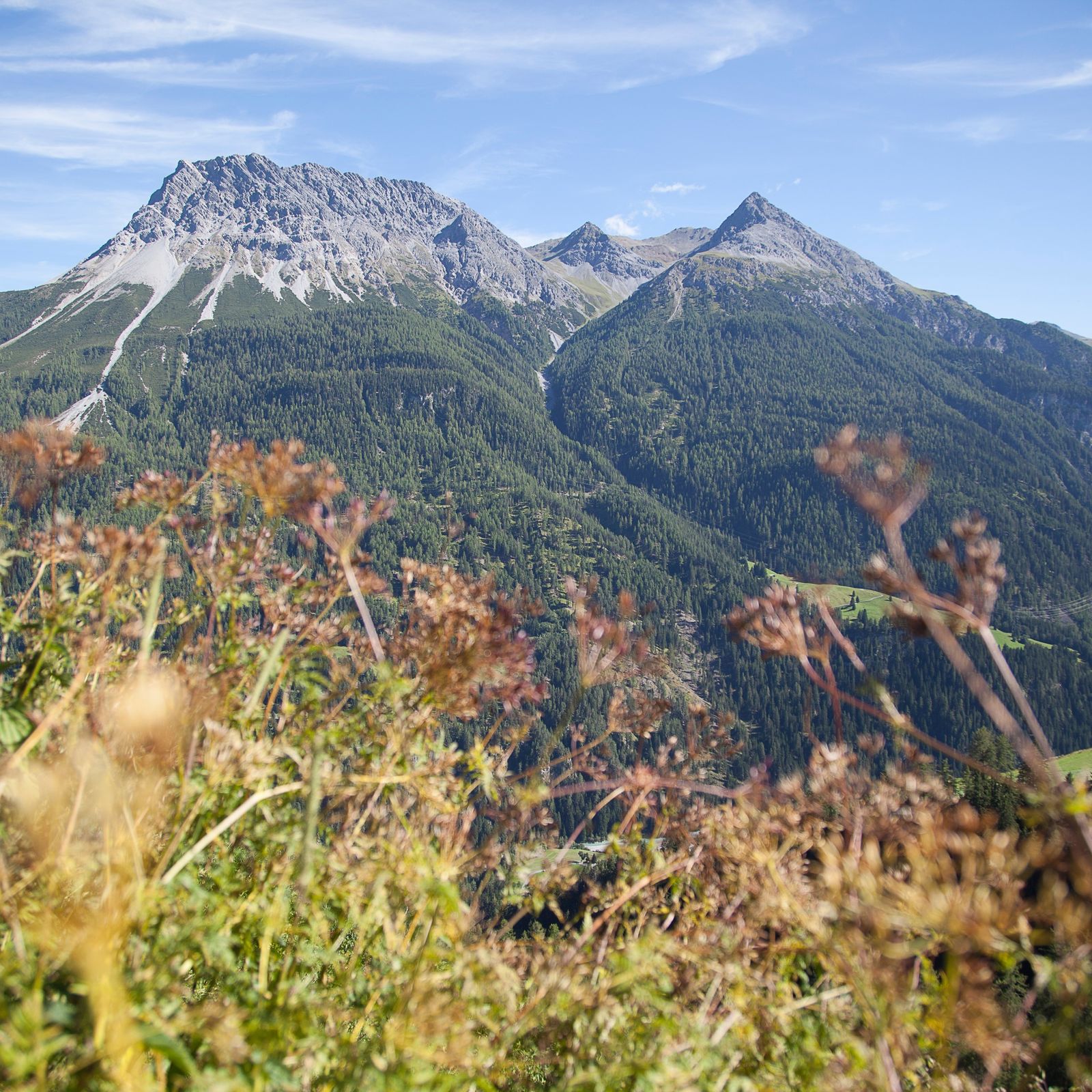
As a section of the Engadine High Trail, this hike leads through varied, partly rocky terrain.
- Moeilijkheid
-
medium
- Waardering
-
- Route
-
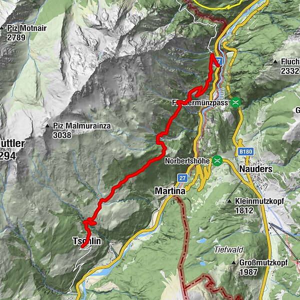
Hotel Macun0,1 kmTschlin (1.533 m)0,2 kmSan Jon0,3 kmAlpenbrauerei Girun0,3 kmSan Plasch0,5 kmVinadi11,9 km
- Beste seizoen
-
janfebmrtaprmeijunjulaugsepoktnovdec
- Maximale hoogte
- 1.713 m
- Bestemming
-
PostBus stop Vinadi
- Hoogteprofiel
-
 © outdooractive.com
- Auteur
-
De rondleiding Tschlin - Vadrain - Vinadi wordt gebruikt door outdooractive.com op.
GPS Downloads


Algemene info
Veelbelovend
Meer rondleidingen in de regio's
-
Vinschgau
1291
-
Samnaun
857
-
Nauders - Reschenpass
161