© Chur - Die Alpenstadt - Michael Christ
© Unbekannt

© Chur - Die Alpenstadt - Michael Christ

© Chur - Die Alpenstadt - Michael Christ


- Korte beschrijving
-
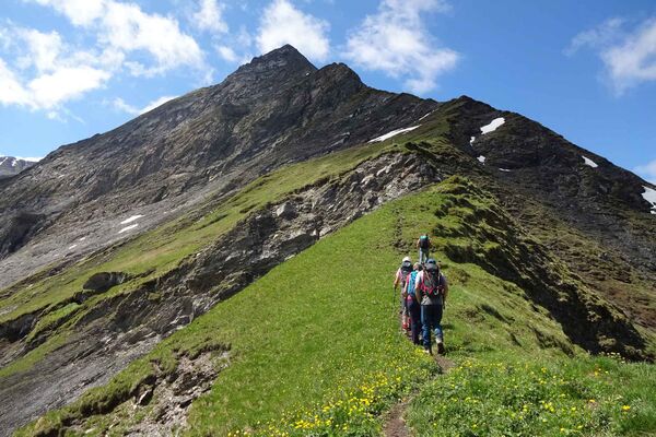
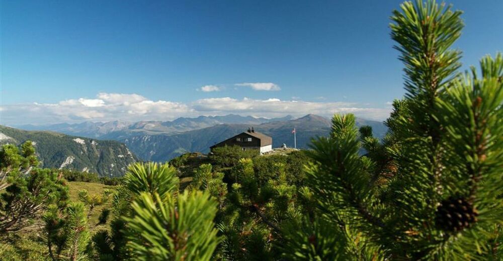
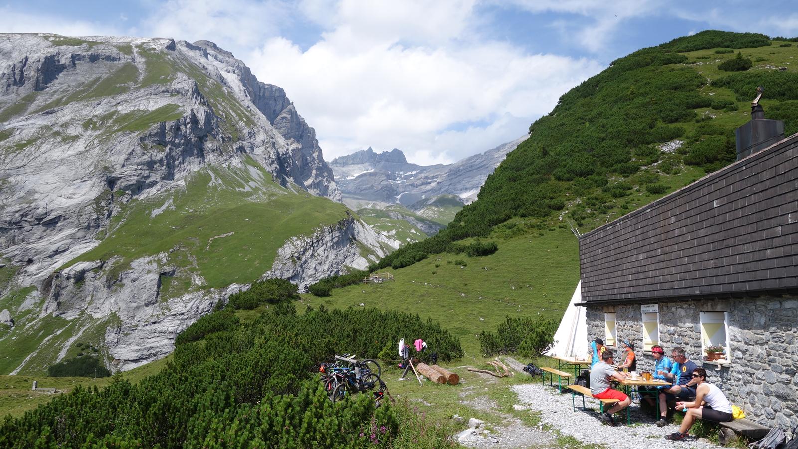
Impressive hiking tour through the gorgeous Lavoitobel to the Ringelspitz hut and along the Kunkelspass back to Tamins.
- Moeilijkheid
-
zwaar
- Waardering
-
- Route
-
Tamins0,0 kmPassherberge Überuf11,9 kmKunkelspass (1.357 m)12,0 km
- Beste seizoen
-
janfebmrtaprmeijunjulaugsepoktnovdec
- Maximale hoogte
- 1.984 m
- Bestemming
-
Tamins, village
- Hoogteprofiel
-
 © outdooractive.com


-

-
AuteurDe rondleiding Ringelspitz hut round trip wordt gebruikt door outdooractive.com op.
GPS Downloads


Algemene info
Verfrissingsstop
Tip voor insiders
Veelbelovend
Meer rondleidingen in de regio's
-
Heidiland
2208
-
Chur und Rheintal
870
-
Tamins
269