

© Engadin Tourismus AG - Michael Pfäffli

© Engadin Tourismus AG - Michael Pfäffli

© Engadin Tourismus AG - Michael Pfäffli
© Engadin Tourismus AG - Michael Pfäffli


- Korte beschrijving
-
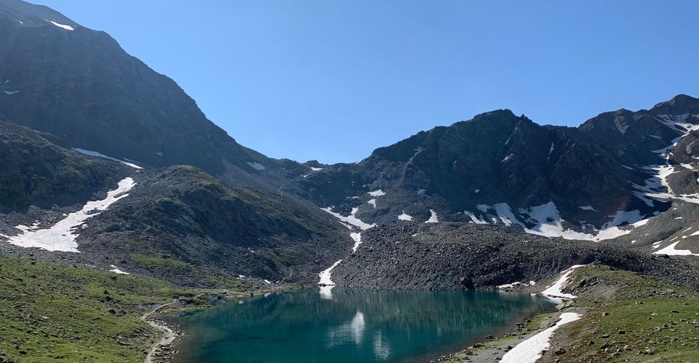
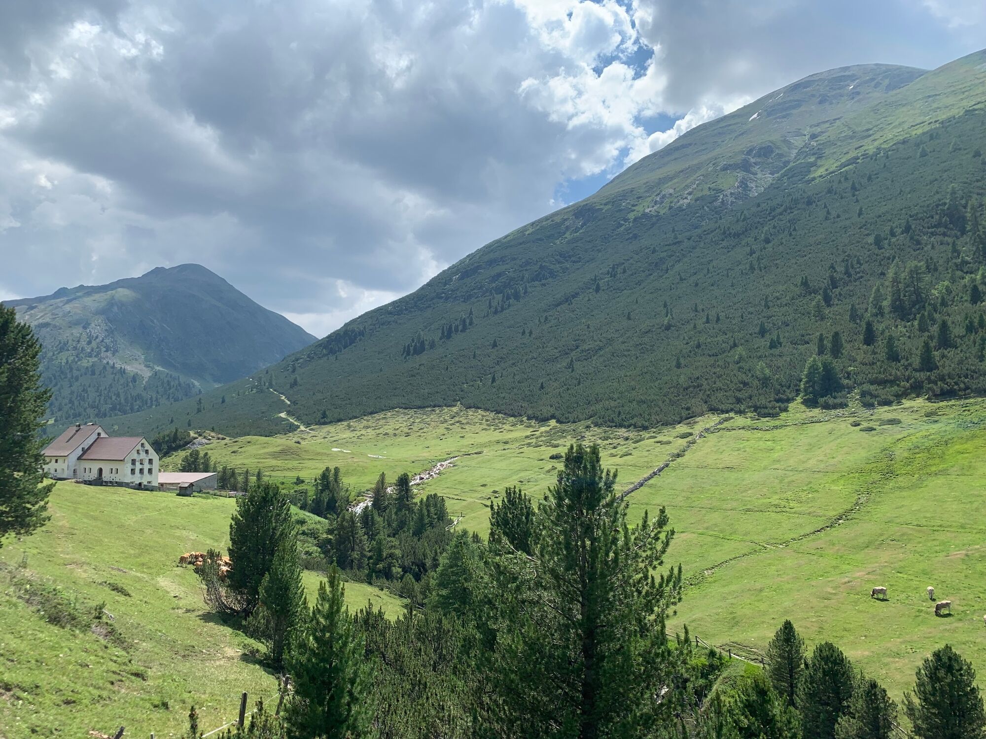
Discover the wild and hidden Val Chamuera.
- Moeilijkheid
-
medium
- Waardering
-
- Route
-
Muottas Muragl (2.456 m)Fuorcla Muragl (2.891 m)4,4 kmSerlas (2.023 m)10,9 kmAcla Veglia (2.000 m)11,4 kmChamues-ch17,5 km
- Beste seizoen
-
janfebmrtaprmeijunjulaugsepoktnovdec
- Maximale hoogte
- 2.878 m
- Bestemming
-
Chamues-ch
- Hoogteprofiel
-
 © outdooractive.com


- Auteur
-
De rondleiding Muottas Muragl - Fuorcla Muragl - Val Chamuera wordt gebruikt door outdooractive.com op.
GPS Downloads


Algemene info
Cultureel/Historisch
Flora
Veelbelovend
Meer rondleidingen in de regio's
-
Engadin St. Moritz
782
-
La Punt
226


