© Engadin Samnaun Val Müstair - Niculin Meyer

© Engadin Samnaun Val Müstair - Niculin Meyer

© Engadin Samnaun Val Müstair - Andrea Badrutt, Chur

© Engadin Samnaun Val Müstair - Niculin Meyer

© Engadin Samnaun Val Müstair - Andrea Badrutt, Chur

© Engadin Samnaun Val Müstair - Andrea Badrutt, Chur


- Korte beschrijving
-
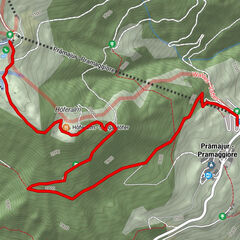
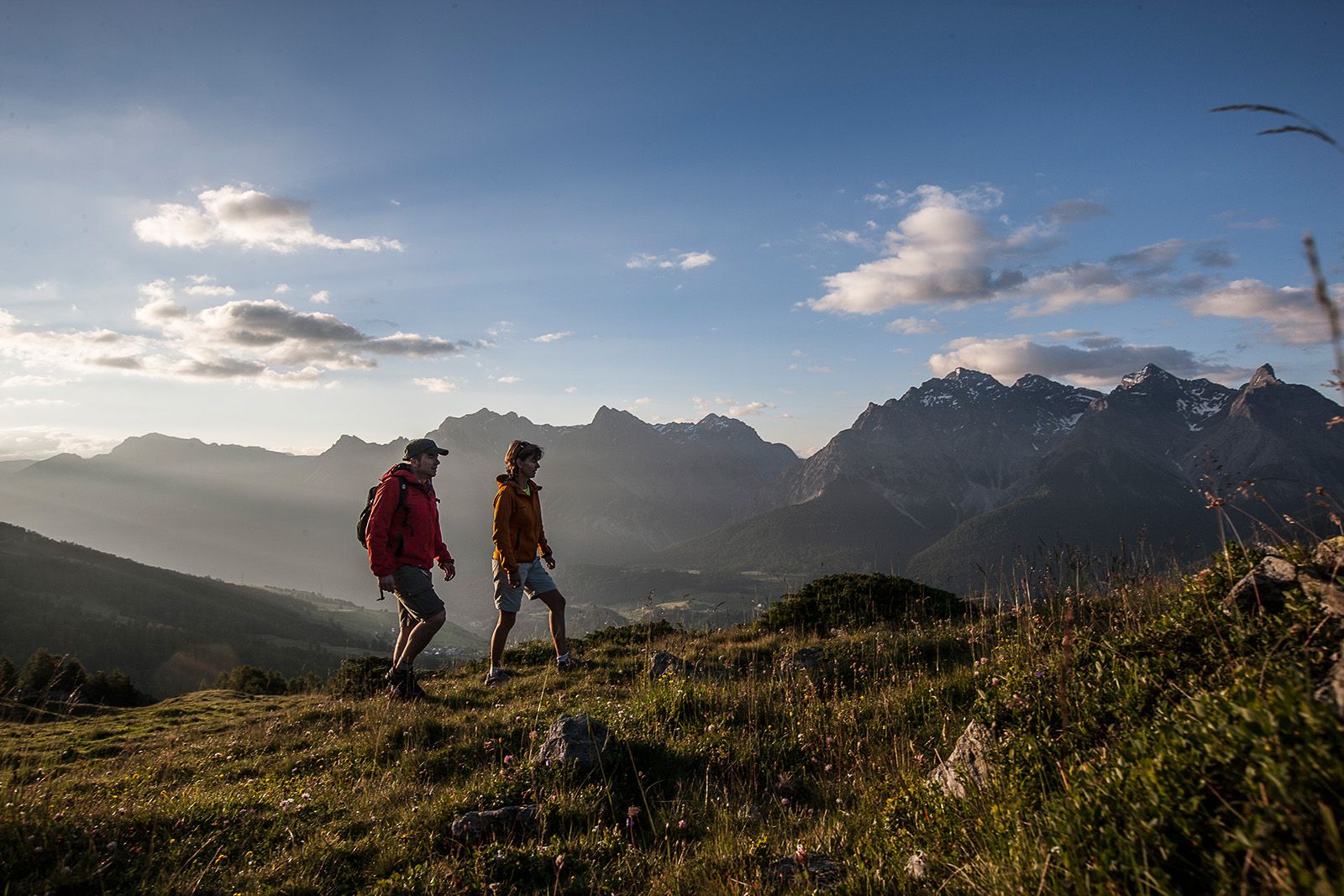
A long, scenic summit tour on the southern edge of the Silvretta with a break on Alp Laret.
- Moeilijkheid
-
medium
- Waardering
-
- Route
-
Prümaran PruiAlp Clünas (2.444 m)3,4 kmPiz Clünas (2.793 m)5,2 kmMuot da l'Hom (2.509 m)7,6 kmLaret (2.188 m)9,5 kmPlazzöl13,3 kmFetan (1.648 m)13,4 km
- Beste seizoen
-
janfebmrtaprmeijunjulaugsepoktnovdec
- Maximale hoogte
- 2.753 m
- Bestemming
-
PostBus stop Ftan, cumün
- Hoogteprofiel
-
 © outdooractive.com


- Auteur
-
De rondleiding Prui – Piz Clünas – Alp Laret – Ftan wordt gebruikt door outdooractive.com op.
GPS Downloads


Algemene info
Verfrissingsstop
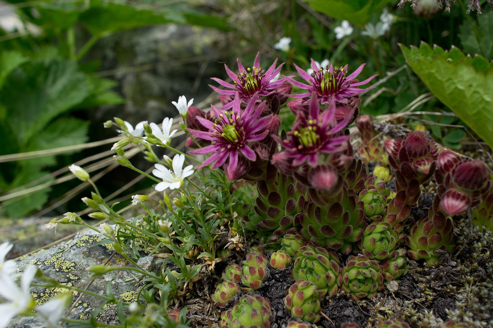
Flora
Veelbelovend
Meer rondleidingen in de regio's
-
Engadin Scuol Zernez
734
-
Ftan
155