© Arosa Lenzerheide - Cordula Seiler

© Arosa Lenzerheide - Cordula Seiler

© Arosa Lenzerheide - Cordula Seiler

© Arosa Lenzerheide - Cordula Seiler

© Arosa Lenzerheide - Cordula Seiler

© Arosa Lenzerheide - Cordula Seiler

- Korte beschrijving
-
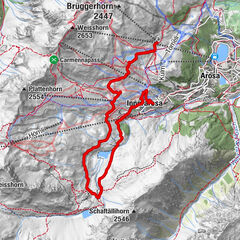
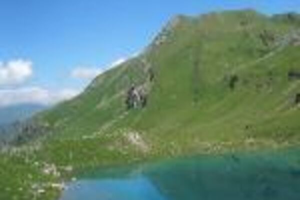
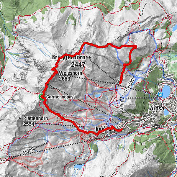
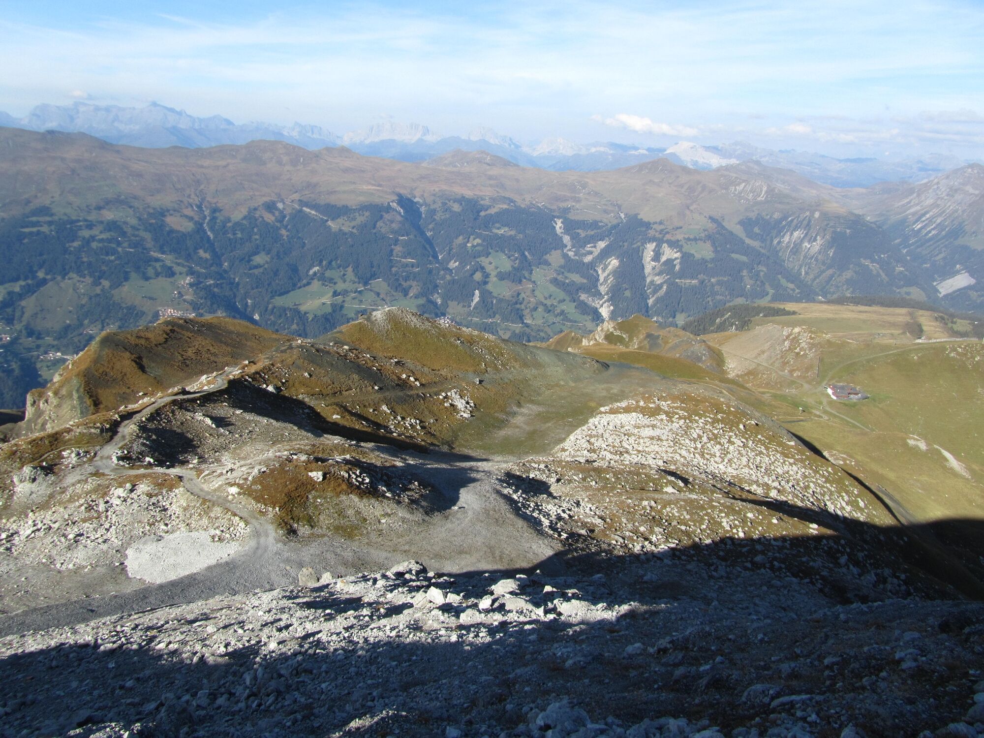
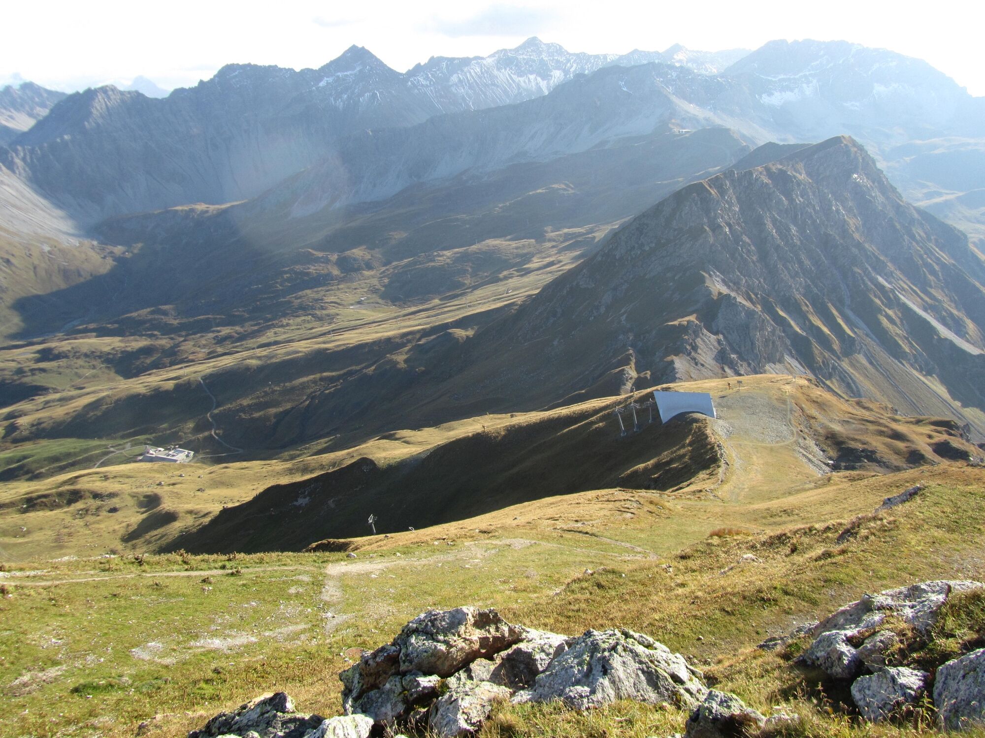
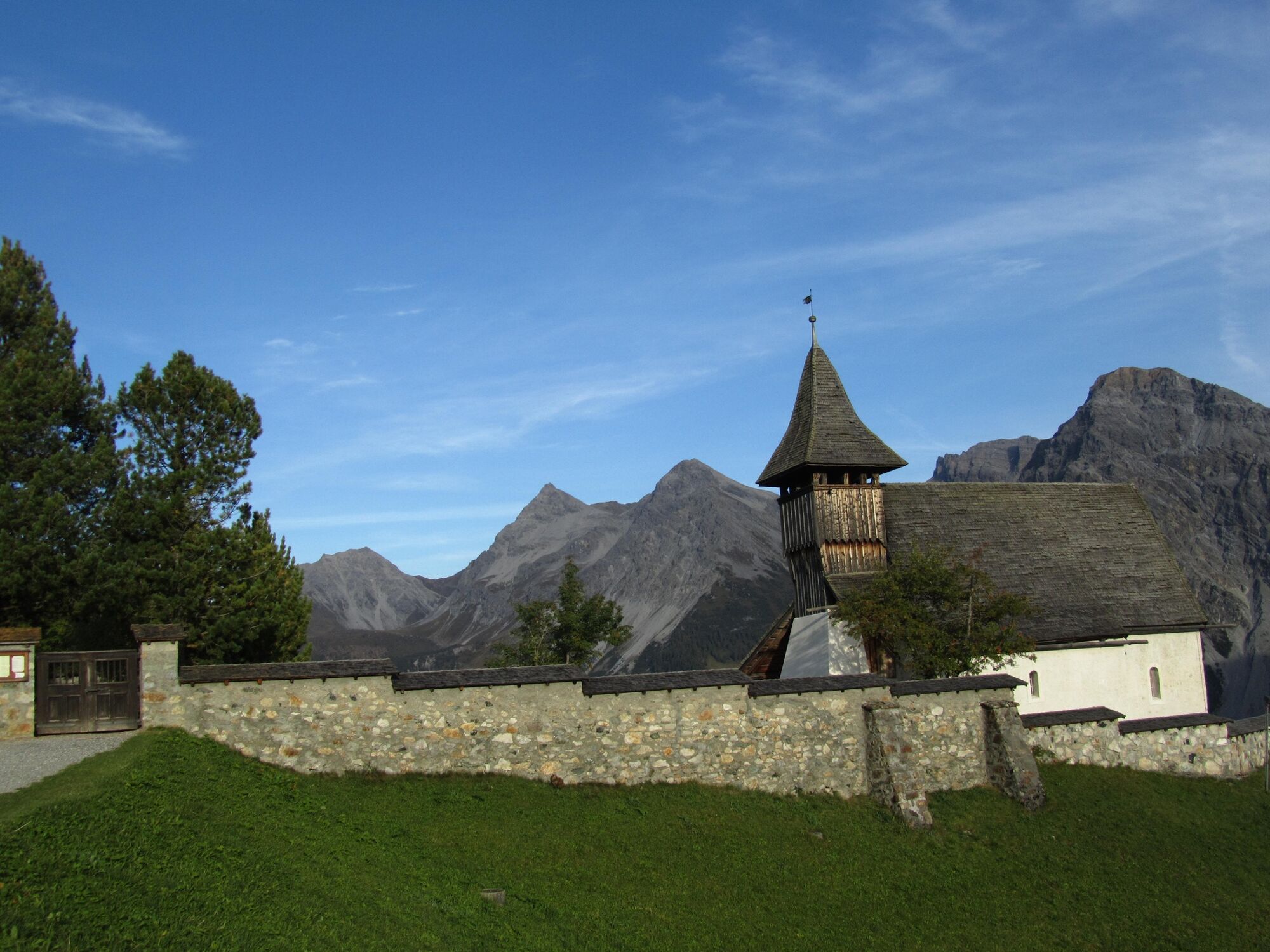
This half-day trip will be heavily rewarded with a fantastic 360° mountain panorama view on the Weisshorn peak. Nonetheless, you should not underestimate the steep ascent and descent to and from the peak. During the summer season, various huts invite you to take a break along the way.
- Moeilijkheid
-
medium
- Waardering
-
- Route
-
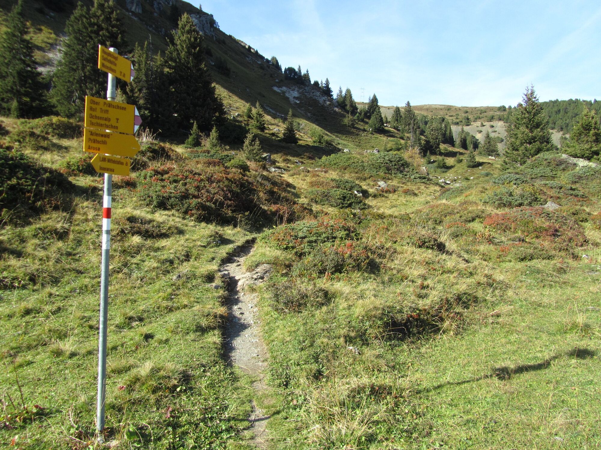
Sattelhütte3,5 kmWeisshorn (2.653 m)4,9 kmWeisshorngipfel4,9 kmCarmennahütte6,8 kmInnerarosa (1.820 m)8,7 km
- Beste seizoen
-
janfebmrtaprmeijunjulaugsepoktnovdec
- Maximale hoogte
- 2.642 m
- Bestemming
-
Arosa
- Hoogteprofiel
-
 © outdooractive.com

- Auteur
-
De rondleiding 766 Arosa Weisshorn wordt gebruikt door outdooractive.com op.
GPS Downloads


Algemene info
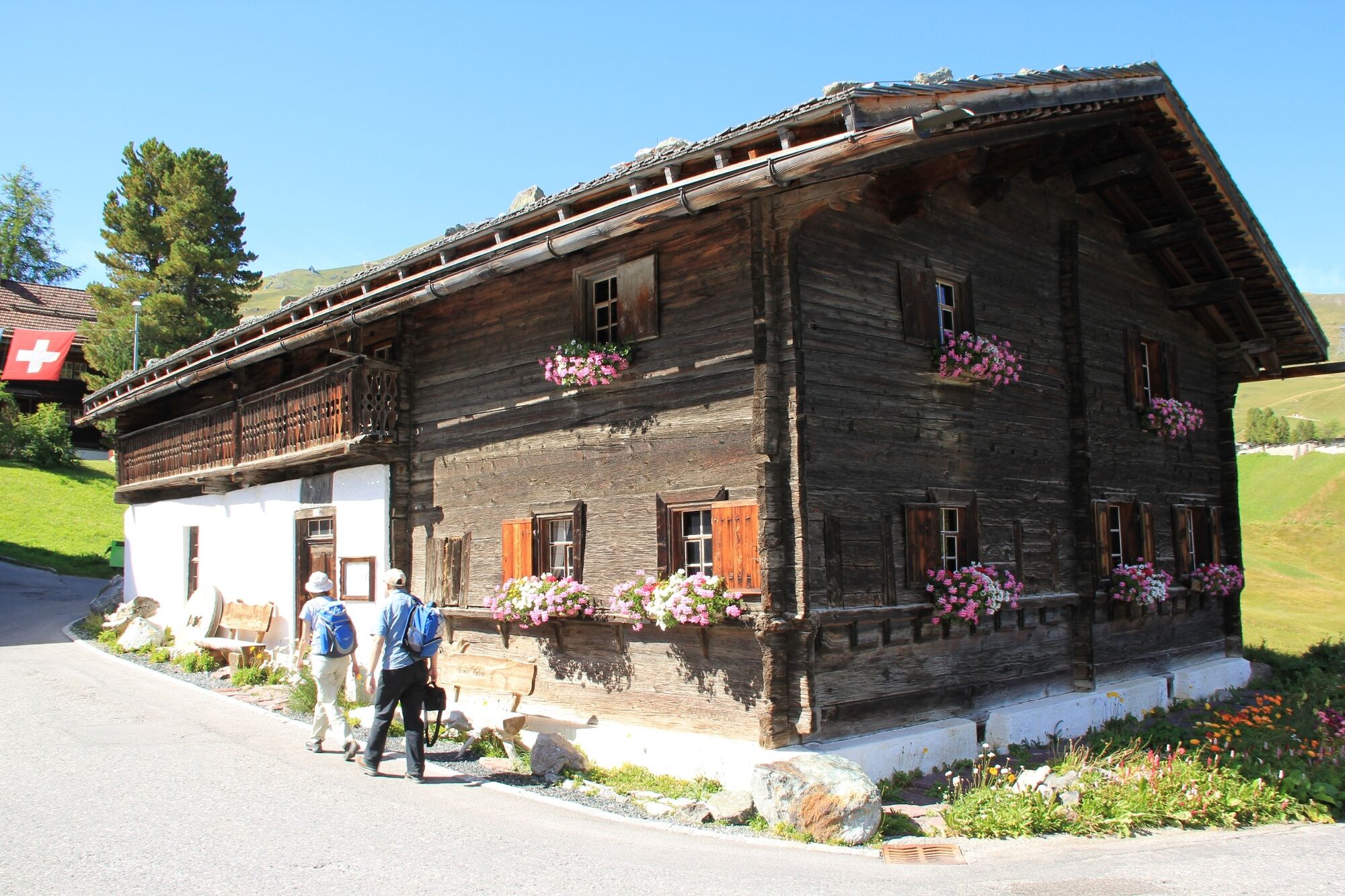
Verfrissingsstop
Veelbelovend
Meer rondleidingen in de regio's
-
Heidiland
2201
-
Arosa Lenzerheide
816
-
Hochwang
281