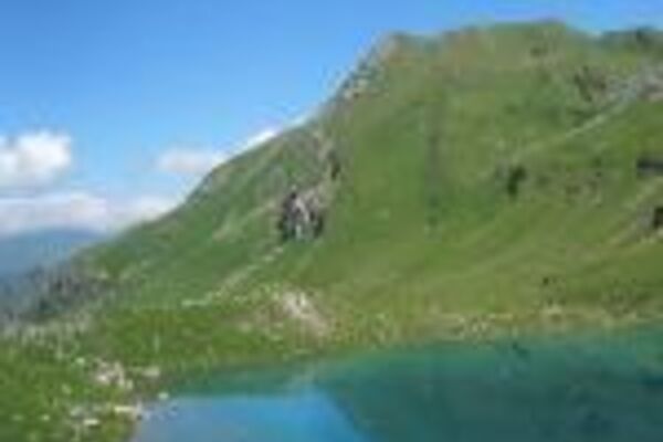
© Arosa Lenzerheide - Cordula Seiler

© Arosa Lenzerheide - Cordula Seiler

© Arosa Lenzerheide - Cordula Seiler


- Korte beschrijving
-
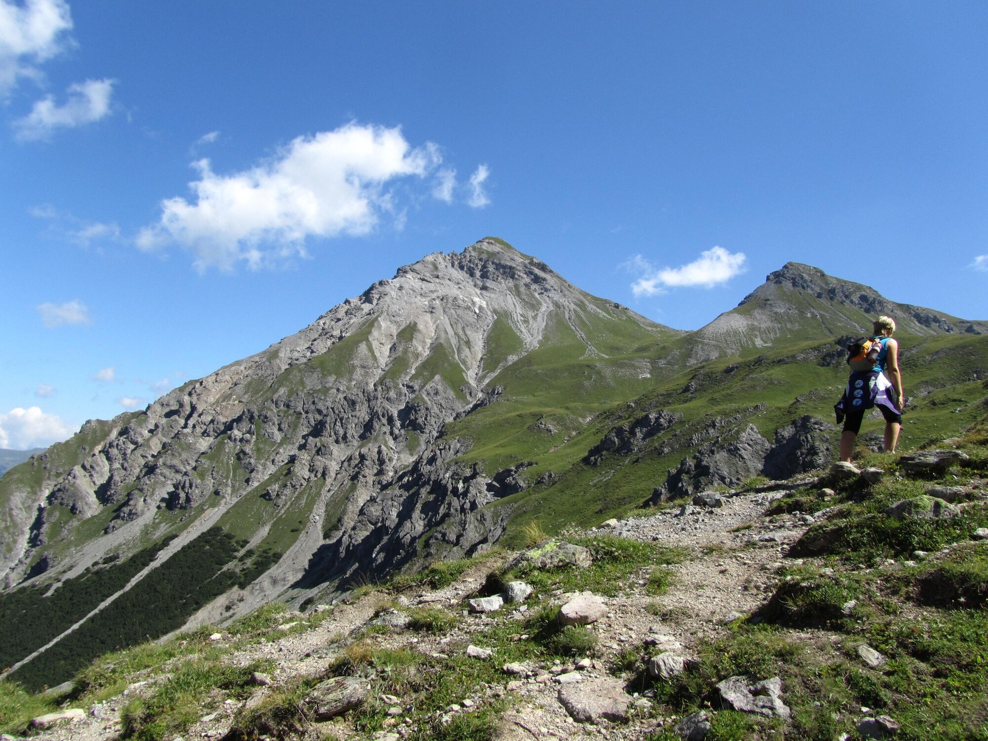
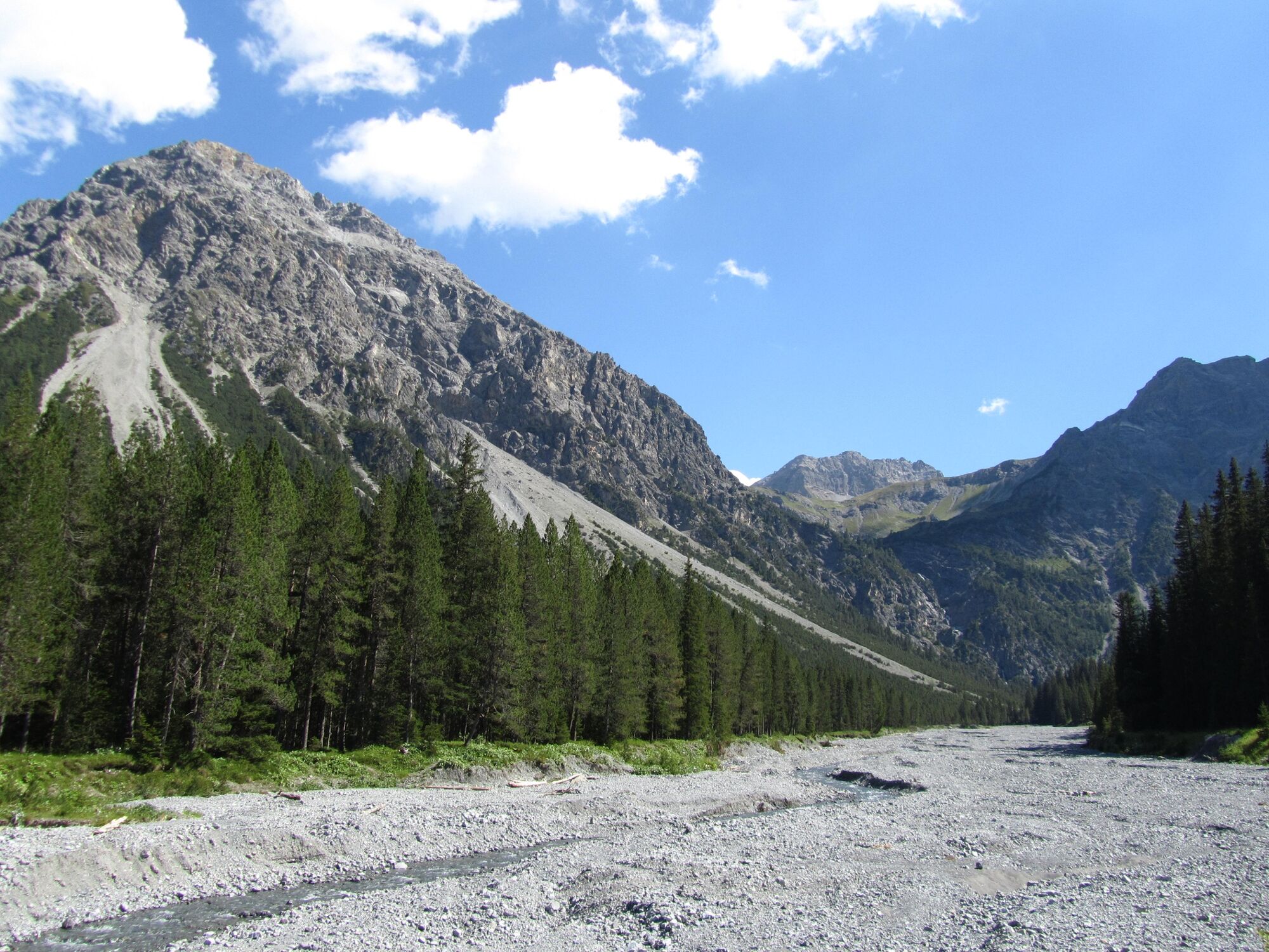
This round tour combines the terms «wa-ter» and «mountain» and offers countless beautiful views on Arosa and its surround-ing. The trail passes the Altein waterfalls and the Altein lake before making a loop around the Schiesshorn mountain, includ-ing the possibility to climb to the peak.
- Moeilijkheid
-
medium
- Waardering
-
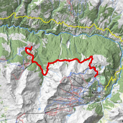
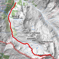
- Route
-
Arosa (1.739 m)0,2 km(Großer) Alteinwasserfall4,0 km
- Beste seizoen
-
janfebmrtaprmeijunjulaugsepoktnovdec
- Maximale hoogte
- 2.426 m
- Bestemming
-
Arosa
- Hoogteprofiel
-
 © outdooractive.com

- Auteur
-
De rondleiding 767 Alteinsee Schiesshorn wordt gebruikt door outdooractive.com op.
GPS Downloads


Algemene info
Fauna
Veelbelovend
Meer rondleidingen in de regio's
-
Arosa Lenzerheide
816
-
Hochwang
281