© Engadin Samnaun Val Müstair - Dominik Täuber


- Korte beschrijving
-
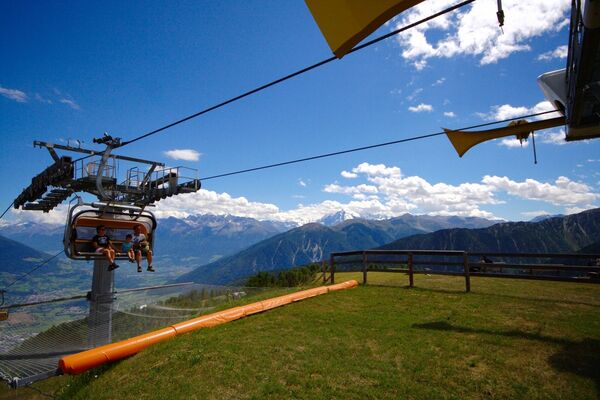
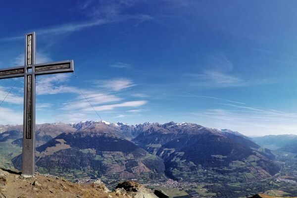
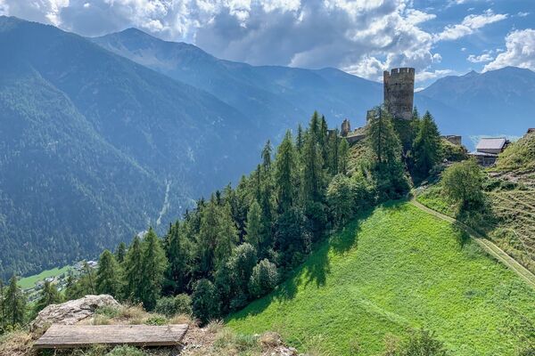
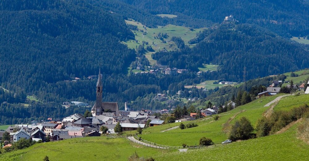
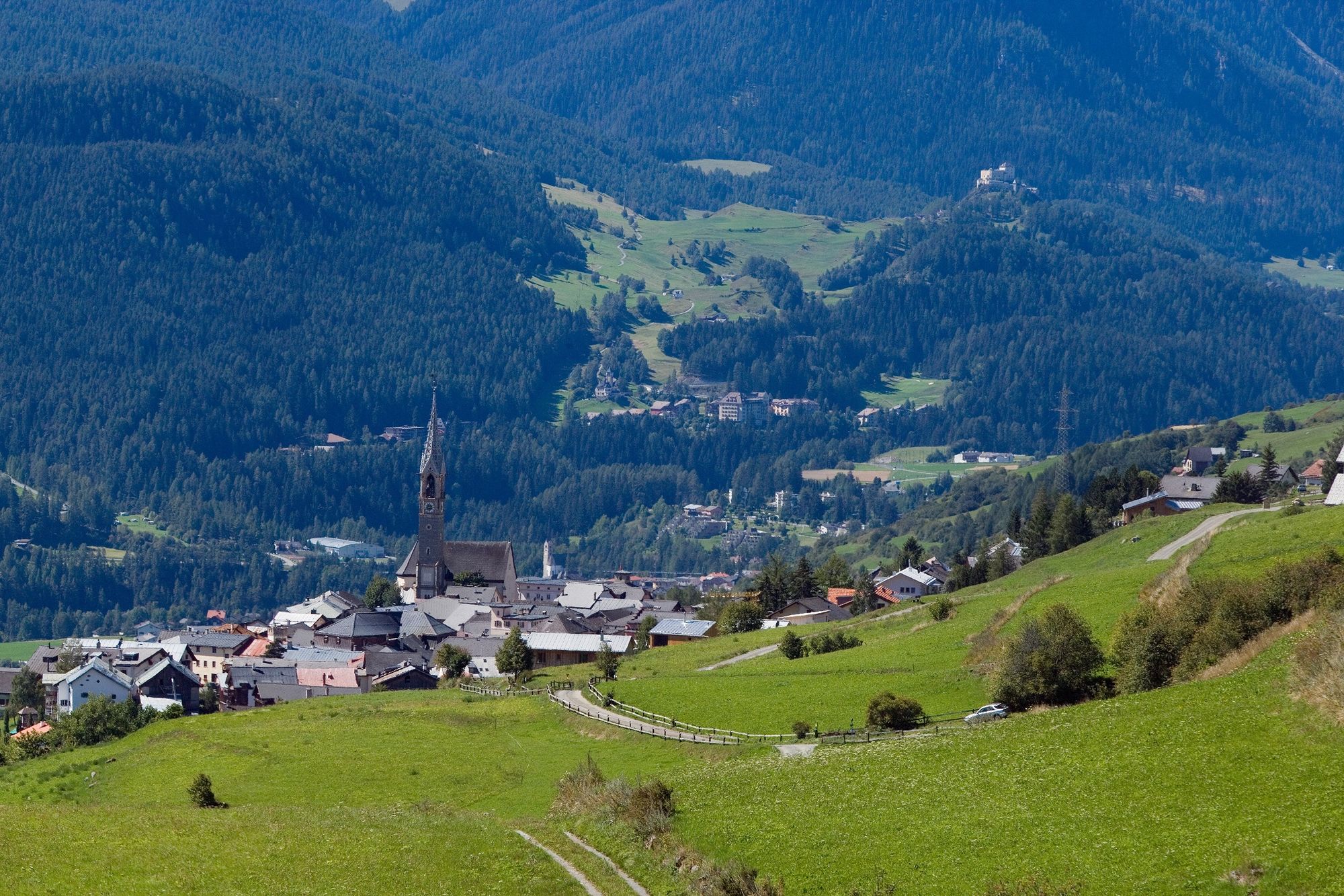
Aussichtsreiche Wanderung mit Blick über Sent und Scuol. Die Wanderung kann in beiden Richtungen begangen werden.
- Moeilijkheid
-
medium
- Waardering
-
- Route
-
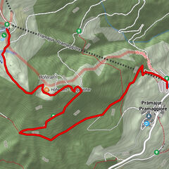
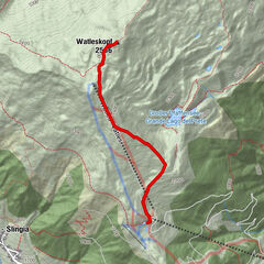
Da SalvatoreSins (1.440 m)Davo Stron0,4 kmRuinas2,5 kmRestorant da muntogna Vastur3,1 kmVastur3,8 kmDa Salvatore6,2 kmSins (1.440 m)6,2 km
- Beste seizoen
-
janfebmrtaprmeijunjulaugsepoktnovdec
- Maximale hoogte
- 1.726 m
- Bestemming
-
PostAuto-Haltestelle «Sent, Sala»
- Hoogteprofiel
-
 © outdooractive.com
- Auteur
-
De rondleiding Sent – Vastur (Rundweg) wordt gebruikt door outdooractive.com op.
GPS Downloads


Algemene info
Verfrissingsstop
Flora
Fauna
Veelbelovend
Meer rondleidingen in de regio's
-
Vinschgau
1278
-
Engadin Scuol Zernez
730
-
Sent
140