© Arosa Lenzerheide - Arosa Tourismus

© Arosa Lenzerheide - Arosa Tourismus

© Arosa Lenzerheide - Arosa Tourismus

© Arosa Lenzerheide - Nicole Fischler

- Korte beschrijving
-
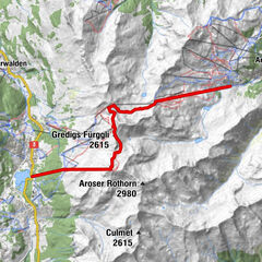
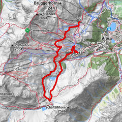
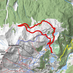
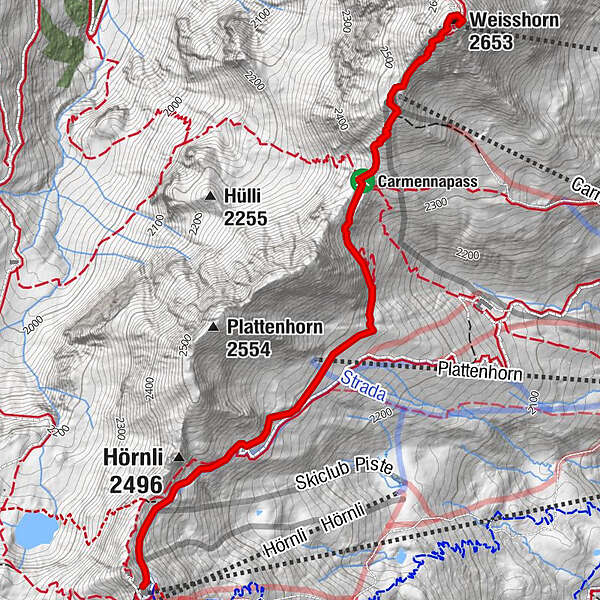
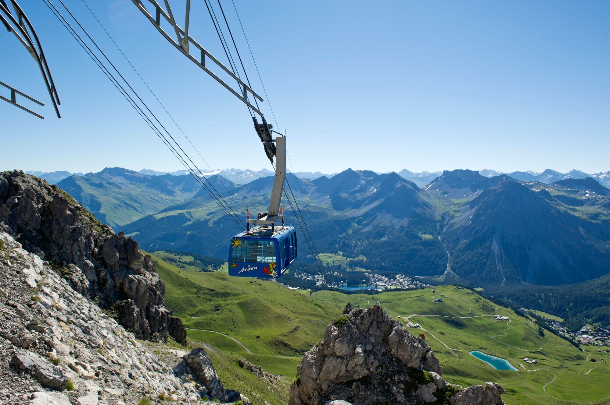
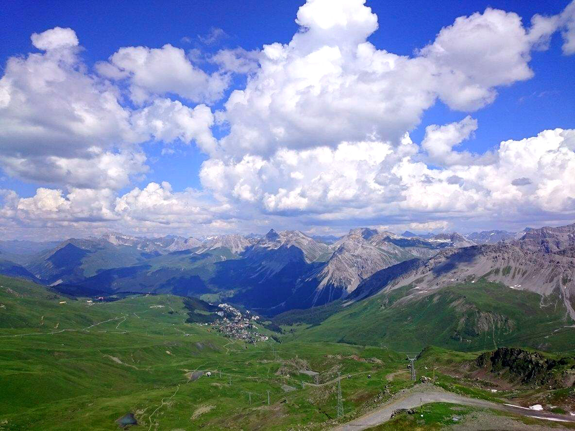
From peak to peak - this hike with steep ascents is rewarded with a breath-taking 360° panoramic view.
- Moeilijkheid
-
zwaar
- Waardering
-
- Route
-
Weisshorngipfel3,4 kmWeisshorn (2.653 m)3,5 km
- Beste seizoen
-
janfebmrtaprmeijunjulaugsepoktnovdec
- Maximale hoogte
- 2.639 m
- Bestemming
-
Weisshorn Summit
- Hoogteprofiel
-
 © outdooractive.com

- Auteur
-
De rondleiding Hörnli Peak Station - Weisshorn Summit wordt gebruikt door outdooractive.com op.
GPS Downloads


Algemene info
Verfrissingsstop
Veelbelovend
Meer rondleidingen in de regio's
-
Heidiland
2201
-
Arosa Lenzerheide
816
-
Tschiertschen-Praden
251