© Arosa Lenzerheide - Arosa Tourismus

© Arosa Lenzerheide - Arosa Tourismus

© Arosa Lenzerheide - Arosa Tourismus

© Arosa Lenzerheide - Arosa Tourismus

© Arosa Lenzerheide - Arosa Tourismus

© Arosa Lenzerheide - Arosa Tourismus

© Arosa Lenzerheide - Arosa Tourismus

- Korte beschrijving
-
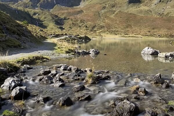
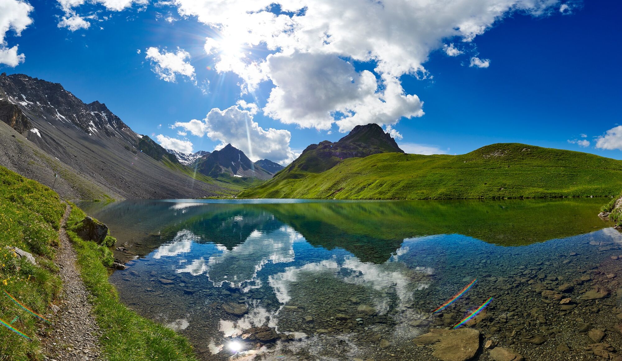
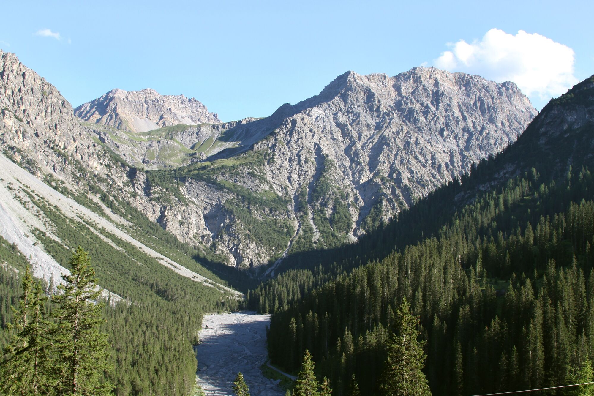
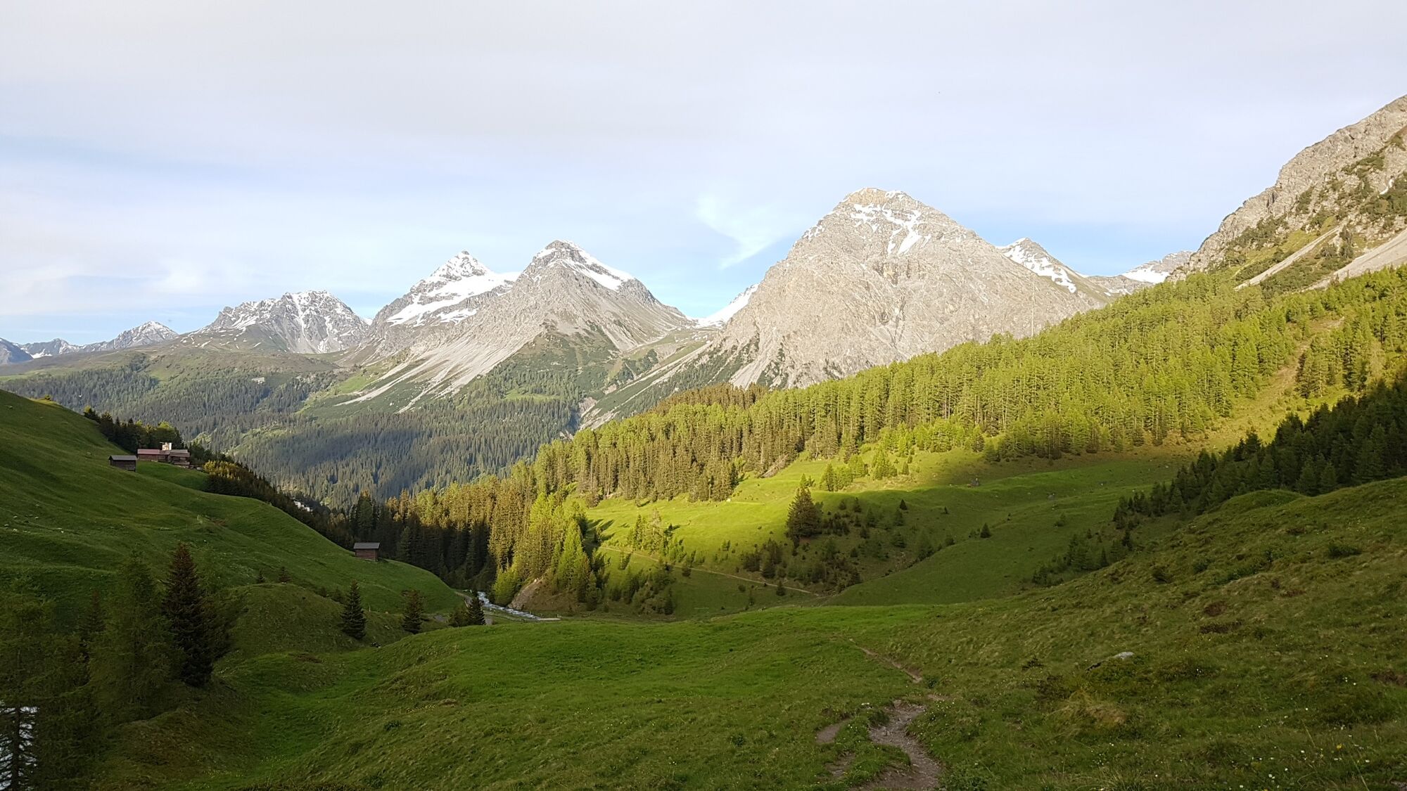
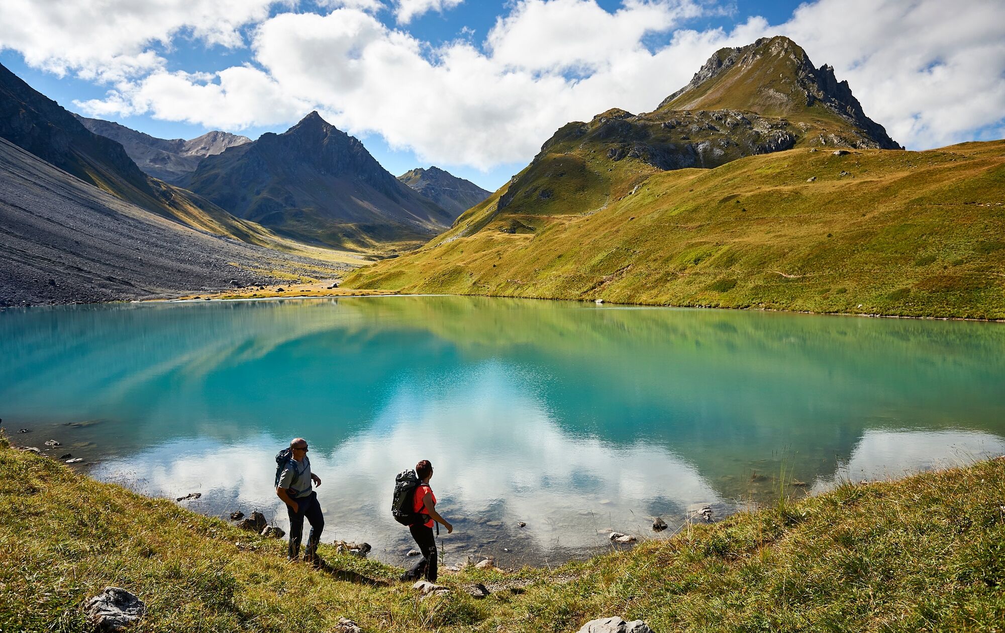
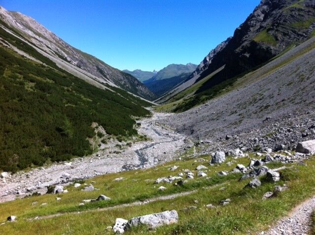
A challenging hike through the wild Welschtobel, all the way up to the Erzhorn saddle and via the romantic Älplisee lake back to Arosa.
- Moeilijkheid
-
zwaar
- Waardering
-
- Route
-
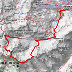
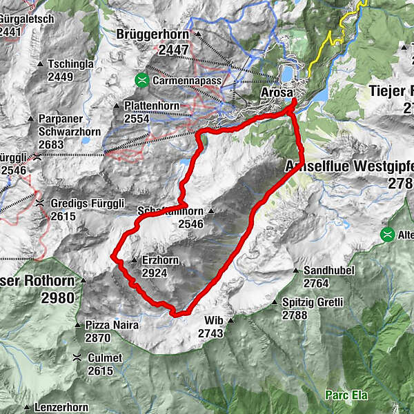
Arosa (1.739 m)0,3 kmRamozhütte7,7 kmErzhornsattel9,9 kmInnerarosa (1.820 m)15,9 kmArosa (1.739 m)17,8 km
- Beste seizoen
-
janfebmrtaprmeijunjulaugsepoktnovdec
- Maximale hoogte
- 2.727 m
- Bestemming
-
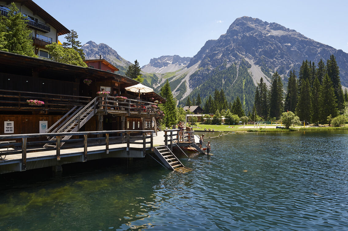
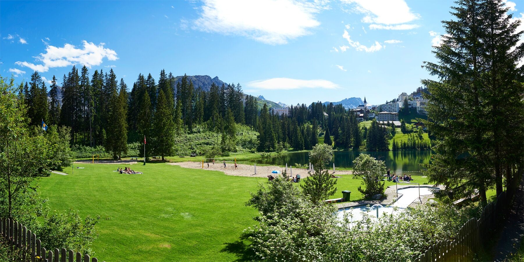
Strandbad (Lido) Untersee Arosa
- Hoogteprofiel
-
 © outdooractive.com
- Auteur
-
De rondleiding Arosa - Ramoz hut - Lake Älplisee - Arosa wordt gebruikt door outdooractive.com op.
GPS Downloads


Algemene info
Verfrissingsstop
Veelbelovend
Meer rondleidingen in de regio's