
- Korte beschrijving
-
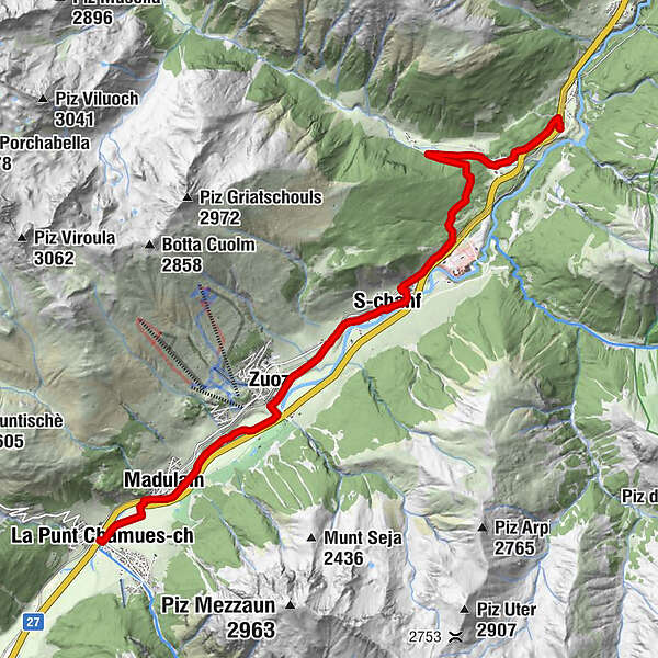
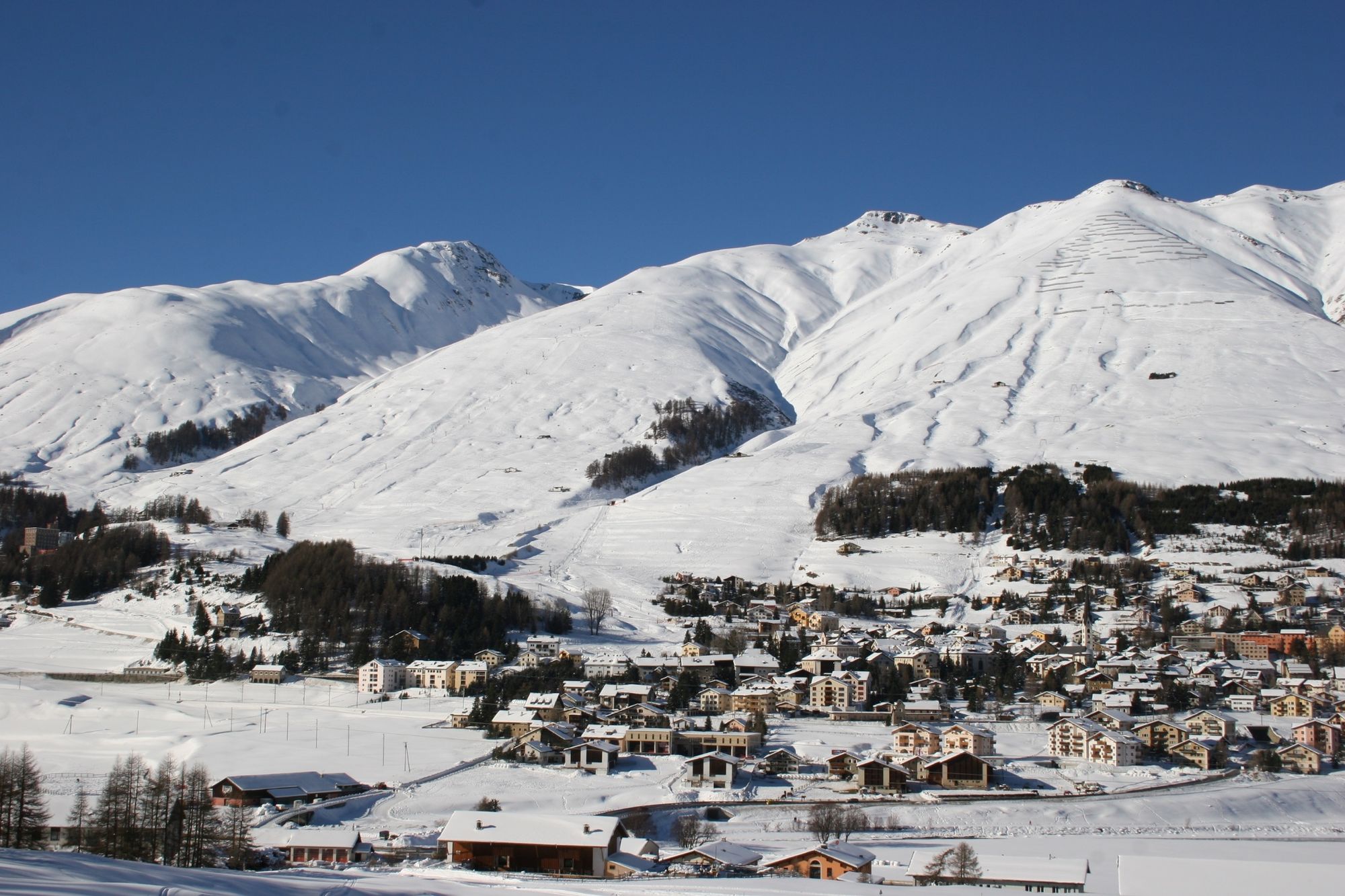
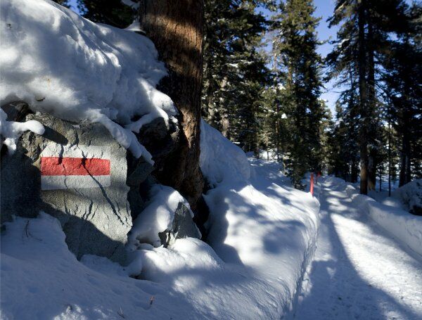
What space. What light. What joy! The La Plaiv winter hiking trail is one of the most beautiful trails in the Engadin. Your gaze wanders across the wide open valley as the Inn river rushes past and skiers weave their way down the slopes above Zuoz.
- Moeilijkheid
-
zwaar
- Waardering
-
- Route
-
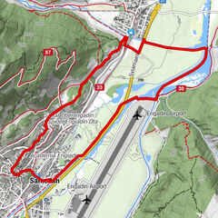
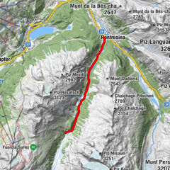
AlbulaLa Punt0,0 kmFoto-Spot La Punt0,0 kmLa Punt Chamues-ch (1.687 m)0,1 kmMadulain (1.697 m)1,4 kmZuoz (1.716 m)4,2 kmReformierte Kirche6,1 kmS-chanf (1.660 m)6,4 kmChapella11,5 kmSur il Chaunt12,7 kmVeduta12,8 kmCinuos-chel-Brail (1.640 m)12,9 km
- Beste seizoen
-
augsepoktnovdecjanfebmrtaprmeijunjul
- Maximale hoogte
- 1.740 m
- Bestemming
-
Cinuos-chel railway station
- Hoogteprofiel
-
 © outdooractive.com
- Auteur
-
De rondleiding La Plaiv (SwitzerlandMobility route 315) wordt gebruikt door outdooractive.com op.
GPS Downloads


Algemene info
Verfrissingsstop
Veelbelovend
Meer rondleidingen in de regio's
-
Engadin St. Moritz
102
-
S-chanf
33