Chantarella - Salastrains - Chasellas

Logo Chantarella - Salastrains - Chasellas
Toerdatums
3,15km
1.898 - 2.044m
Afstand
46hm
109hm
Opstijging
00:54h
 
Duur
Korte beschrijving

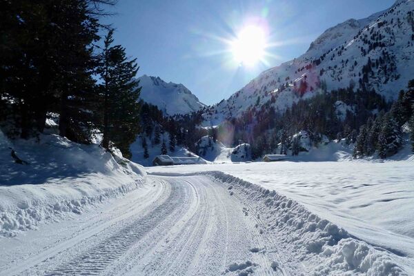
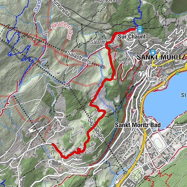
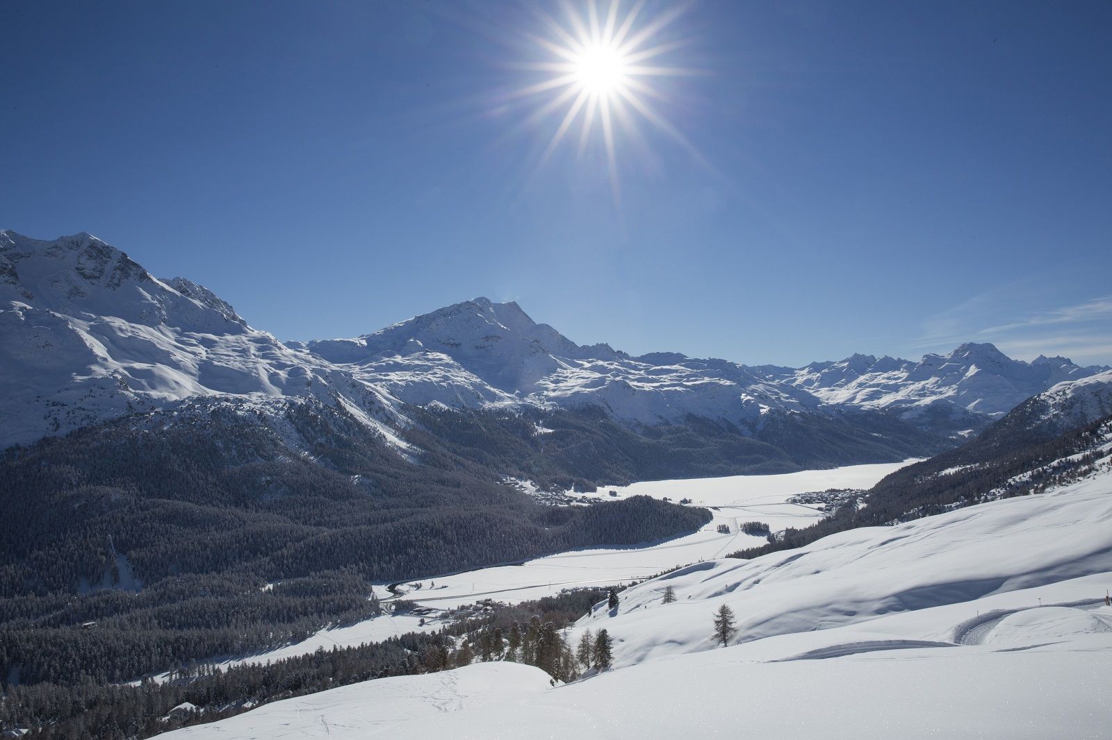
From St. Moritz village to Chantarella, you may just as well take the funicular. But then the sunny plateau of Salastrains comes into view.

Moeilijkheid
gemakkelijk
Waardering
Techniek
Conditie
Landschap
Belevenis
Route
Sankt Moritz (1.822 m)
Sur Chaunt
0,1 km
Spielplatz Salastrains
0,6 km

Beste seizoen
aug
sep
okt
nov
dec
jan
feb
mrt
apr
mei
jun
jul
Maximale hoogte
2.044 m
Bestemming

Chasellas

Hoogteprofiel
© outdooractive.com

Auteur
De rondleiding Chantarella - Salastrains - Chasellas wordt gebruikt door outdooractive.com op.

Algemene beoordeling

5

0

%

4

0

%

3

0

%

2

0

%

1

0

%

Fout
Er is een fout opgetreden. Probeer het opnieuw.
Bedankt voor uw beoordeling

Waardering is verwijderd

GPS Downloads
  • GPX GPS Exchange Format (XML)
  • KML Google Earth, Google Maps
QR Downloadcodes voor mobiele telefoons

Algemene info

Verfrissingsstop
Veelbelovend
Meer rondleidingen in de regio's

Populaire rondleidingen in de omgeving

Maloja - Palza: A circular path above the village

gemakkelijk Winterwandelen
3,72km | 93hm | 01:20h

Winter hiking trail Segantini

medium Winterwandelen
4,75km | 52hm | 01:45h

Winter hiking trail to Lake Cavloc

gemakkelijk Winterwandelen
6,72km | 131hm | 02:30h

St. Moritz-Stazersee-St. Moritz

gemakkelijk Winterwandelen
7km | 47hm | 01:50h