© Tourismus Savognin Bivio Albula AG - @SeraGio_Fotografie
© Tourismus Savognin Bivio Albula AG - @SeraGio_Fotografie

© Tourismus Savognin Bivio Albula AG - @SeraGio_Fotografie
© Tourismus Savognin Bivio Albula AG - @SeraGio_Fotografie
© Unbekannt - Tourismus Savognin Bivio Albula AG

© Unbekannt - Tourismus Savognin Bivio Albula AG
© Tourismus Savognin Bivio Albula AG - @SeraGio_Fotografie
© Tourismus Savognin Bivio Albula AG - @SeraGio_Fotografie
© Tourismus Savognin Bivio Albula AG - @SeraGio_Fotografie

© Tourismus Savognin Bivio Albula AG - @SeraGio_Fotografie


- Korte beschrijving
-
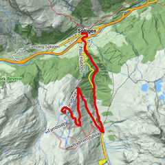
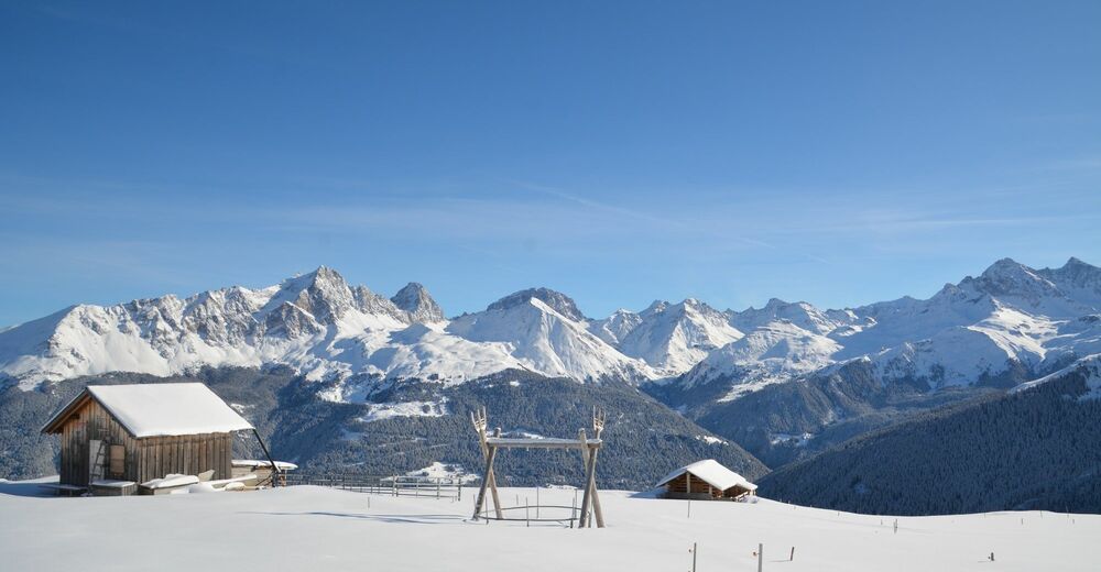
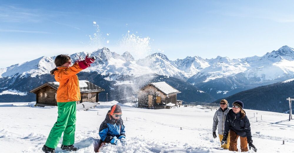
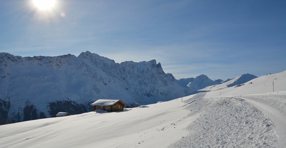
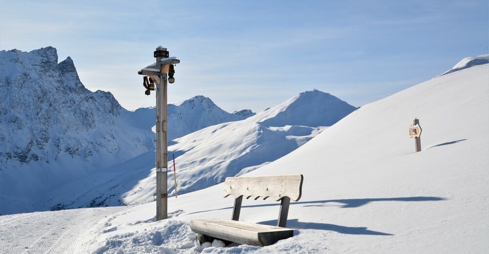
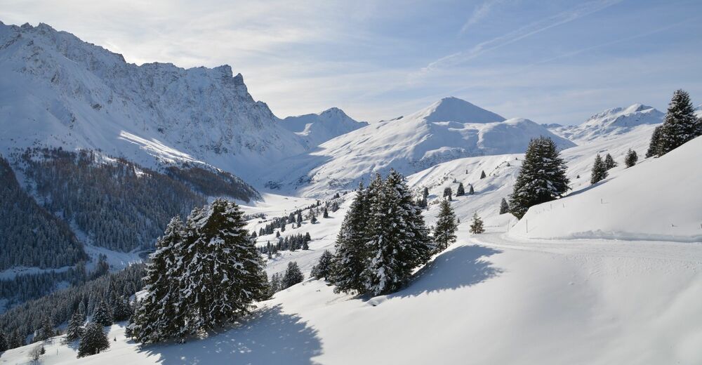
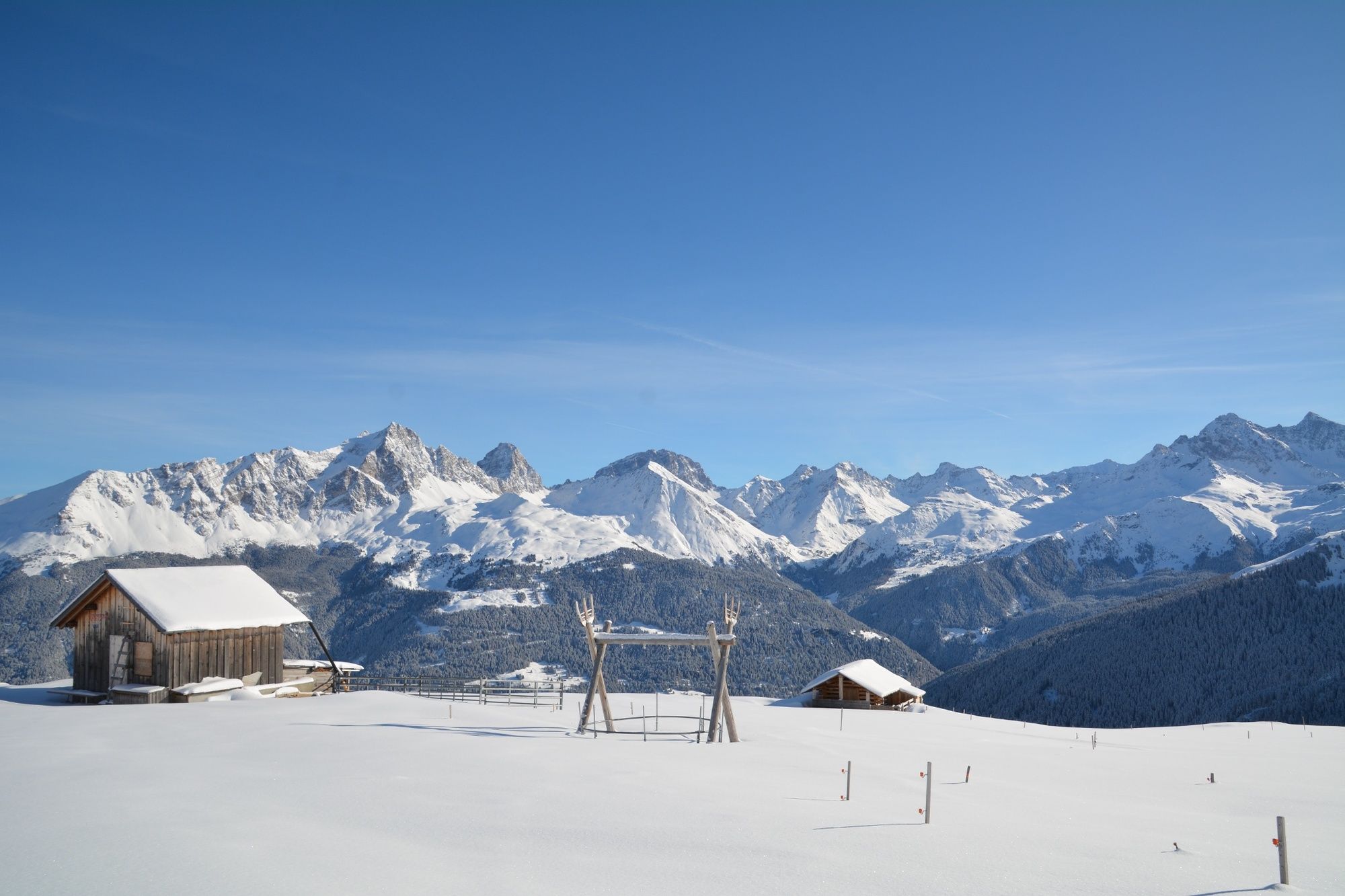
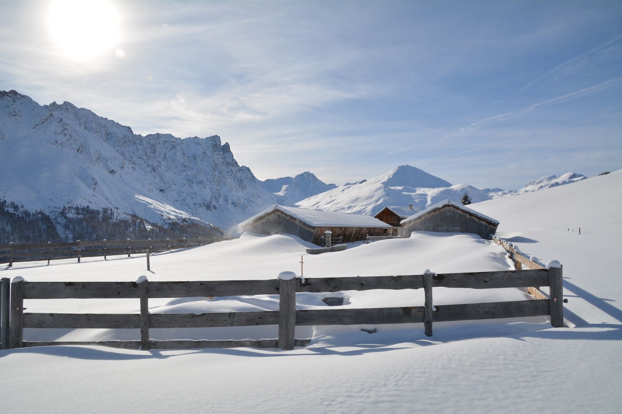
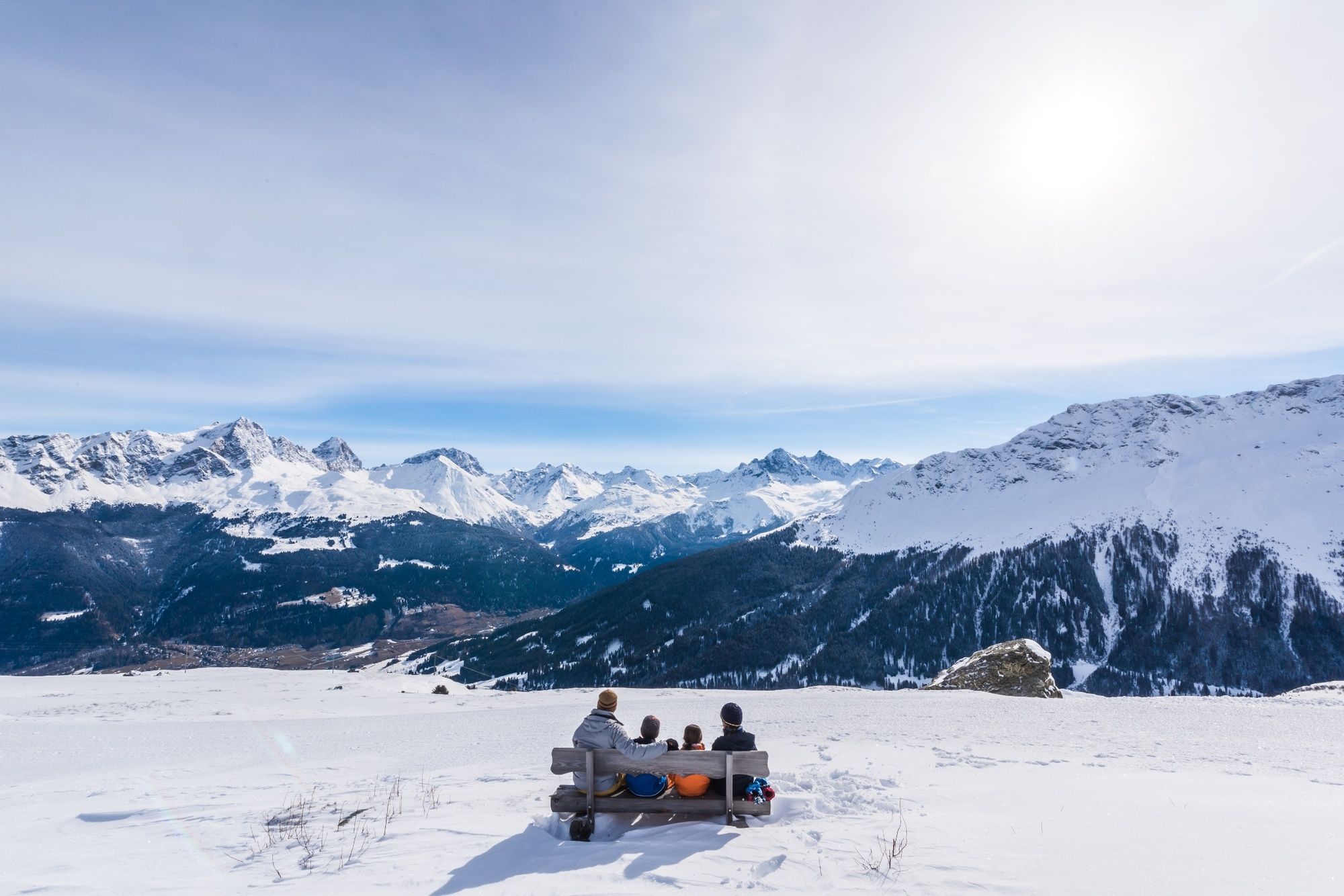
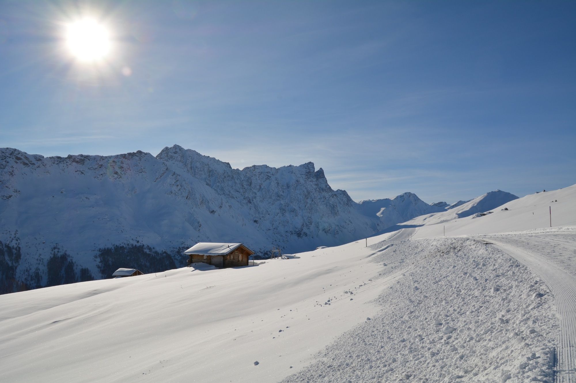
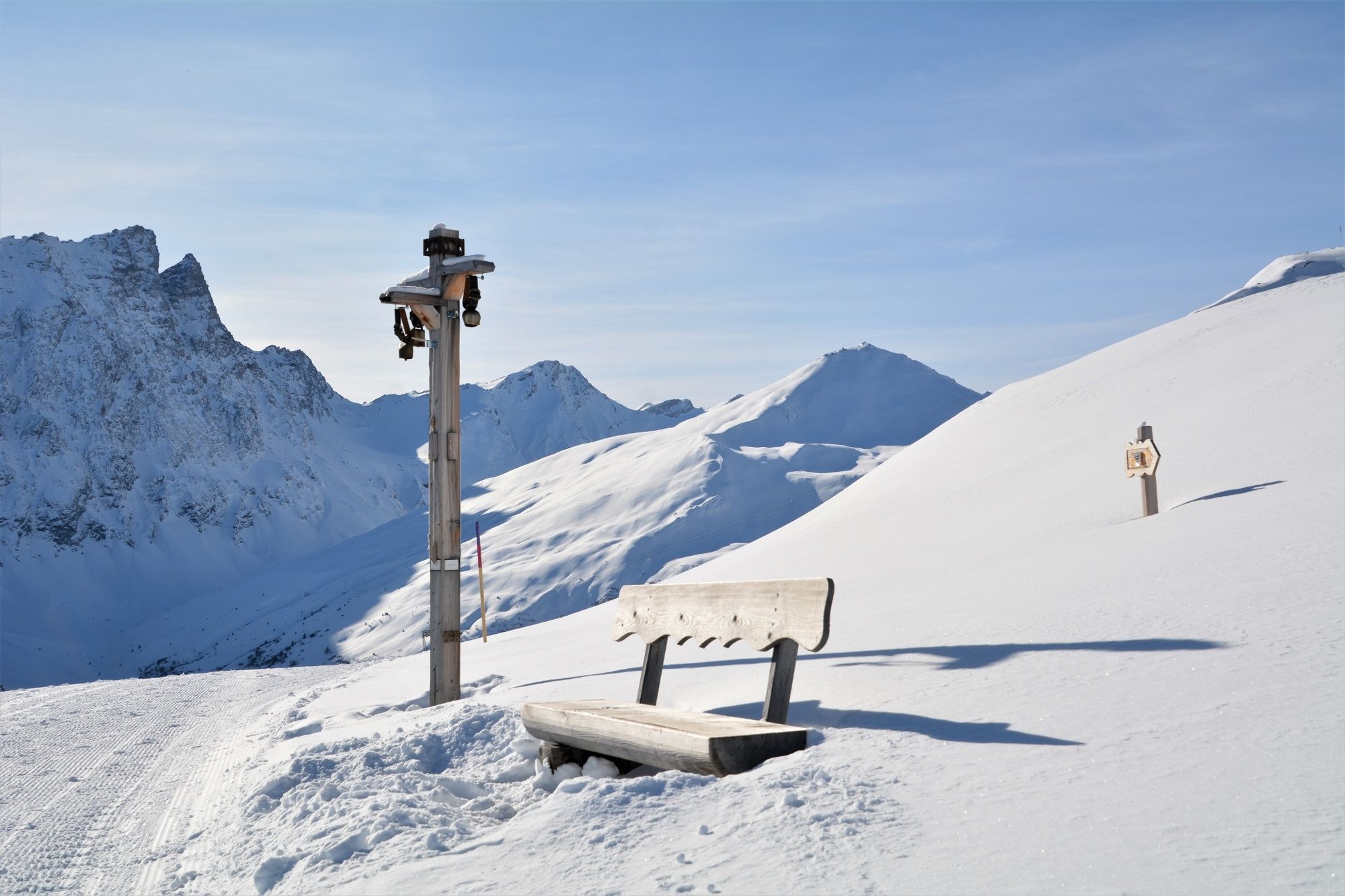
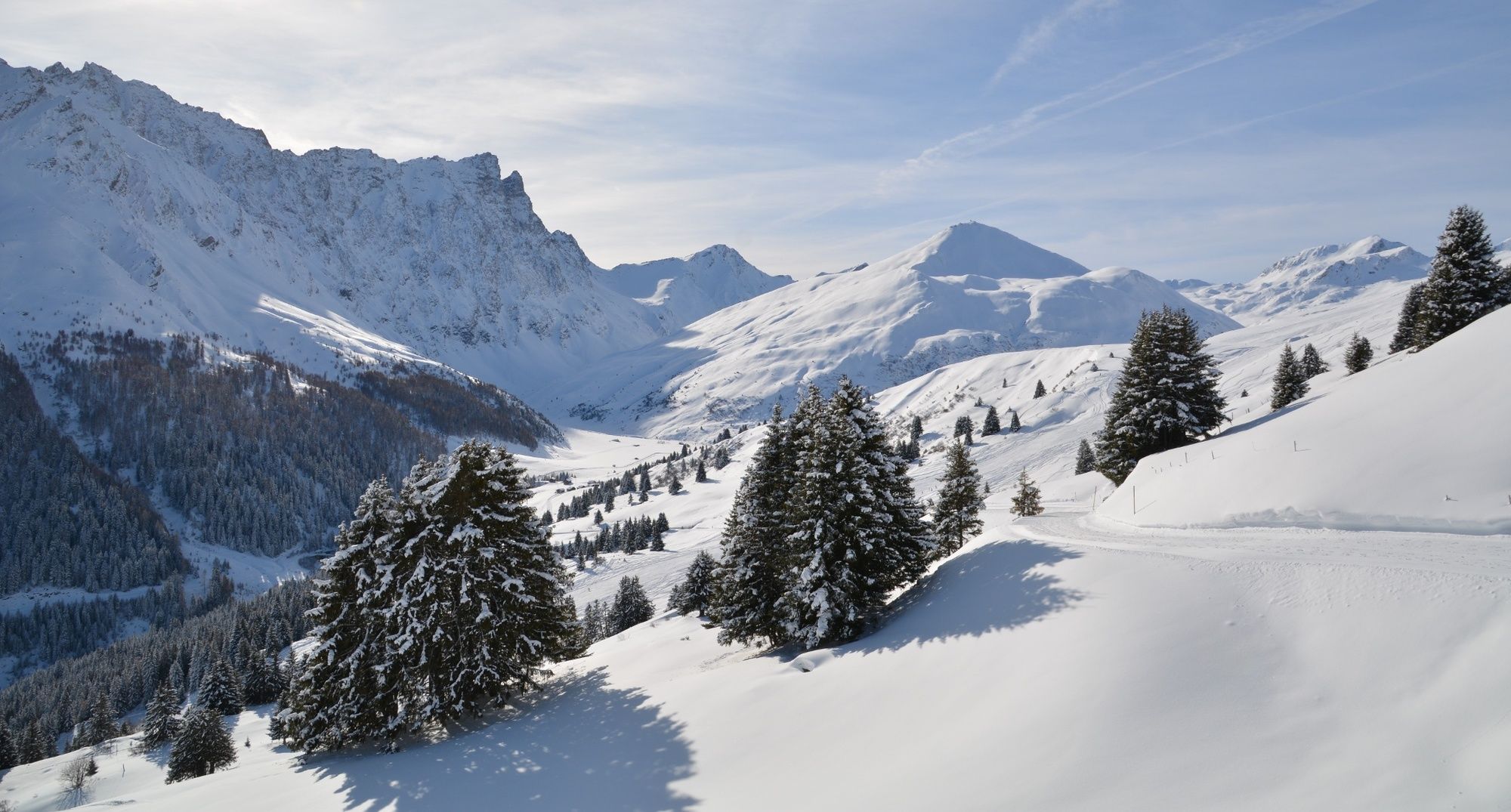
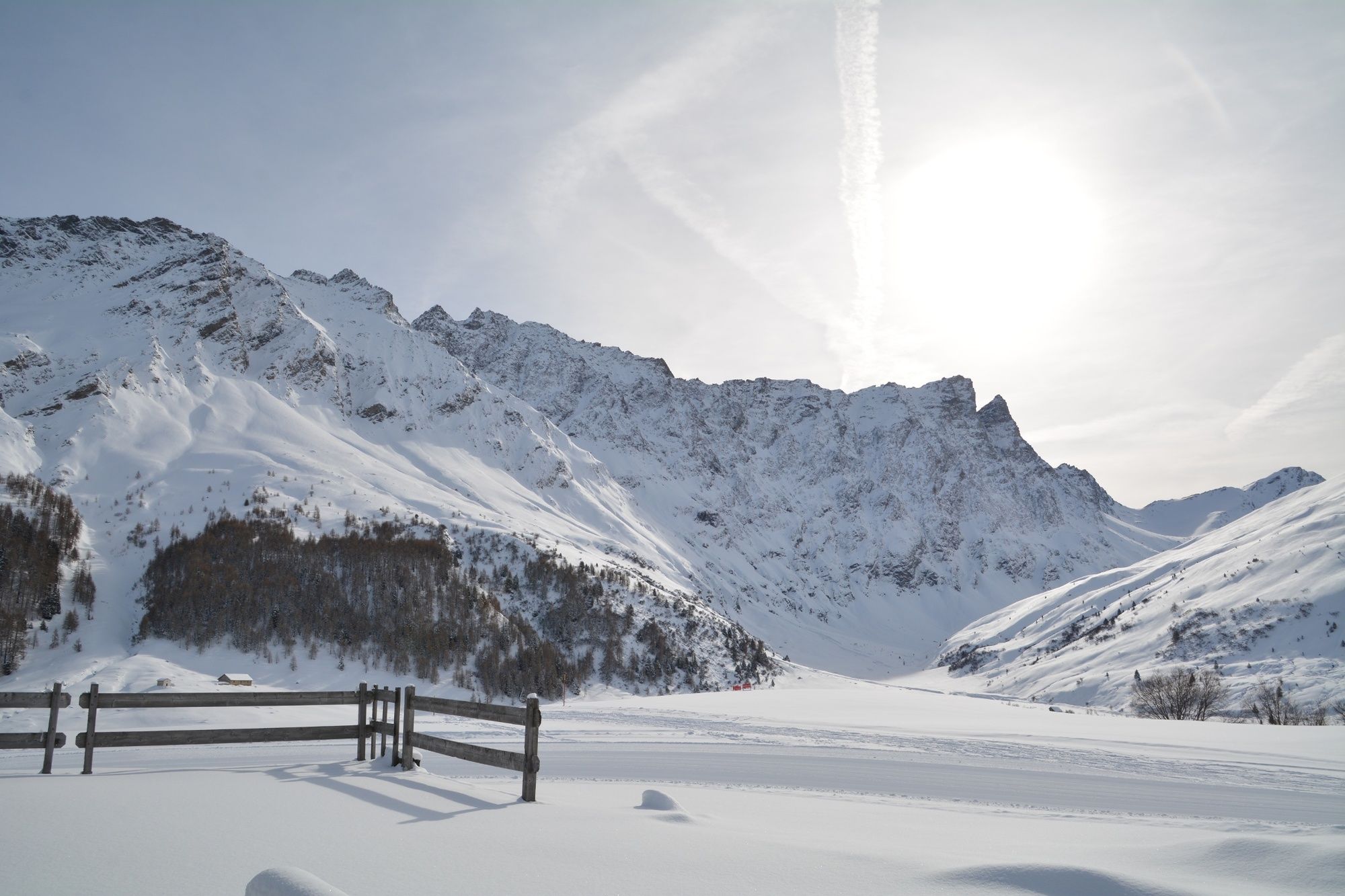
The trail runs high above Savognin with a wonderful view of the valley and the surrounding mountains with Piz Ela, Piz Mitgel and Tinzenhorn.
- Moeilijkheid
-
medium
- Waardering
-
- Route
-
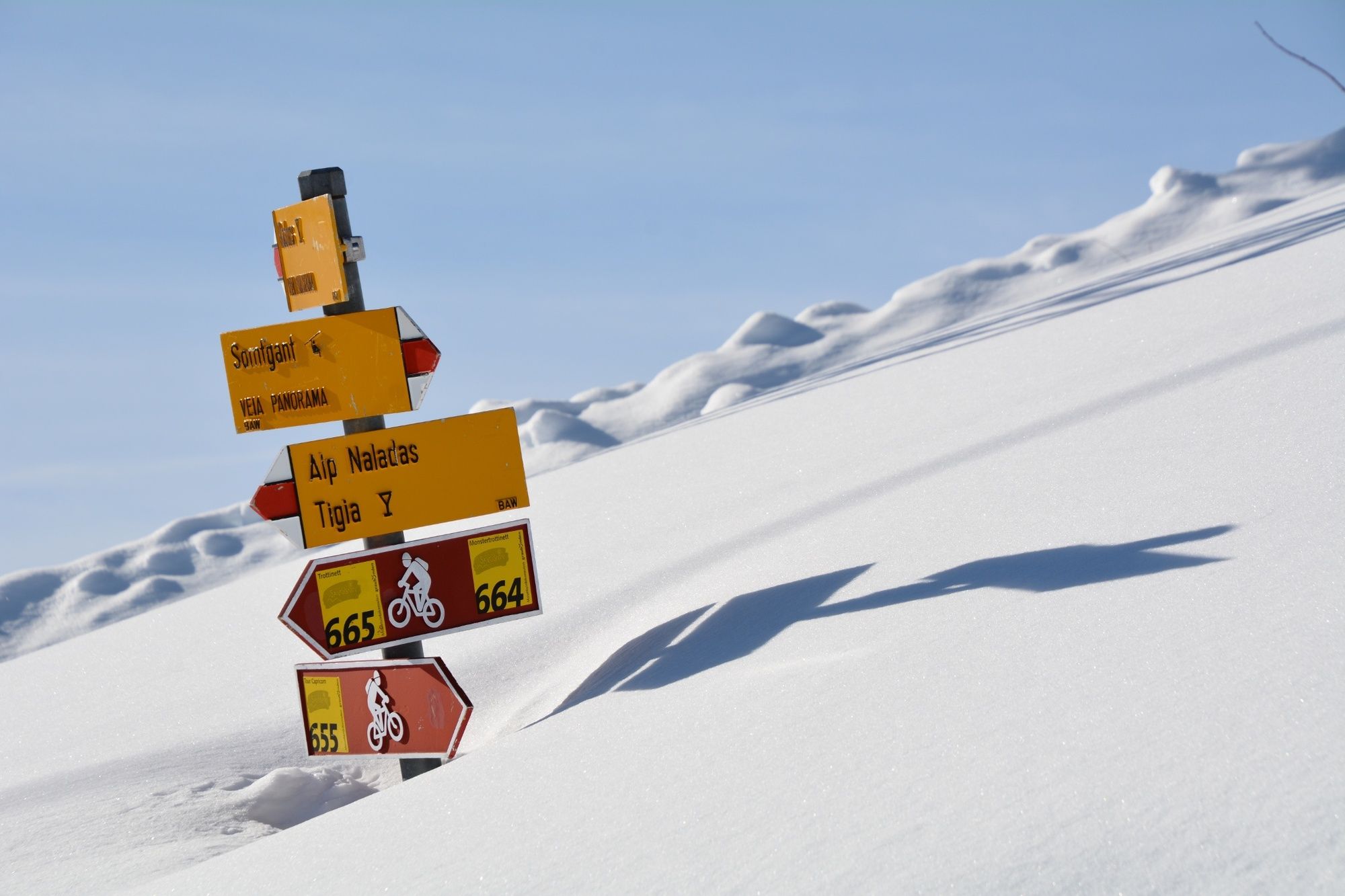
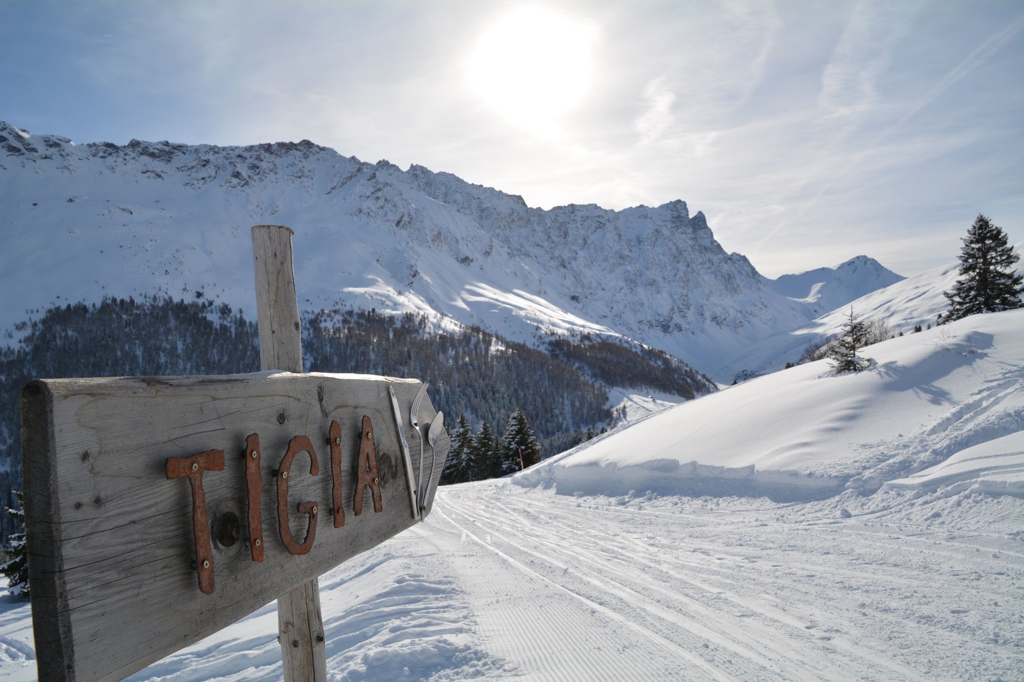
SomtgantAlp Somtgant0,4 kmAlp Naladas2,7 kmTigia3,9 kmUsteria Tigia4,1 kmManziel5,3 kmMalmigiucr6,4 kmTigignas8,0 km
- Beste seizoen
-
augsepoktnovdecjanfebmrtaprmeijunjul
- Maximale hoogte
- 2.150 m
- Bestemming
-
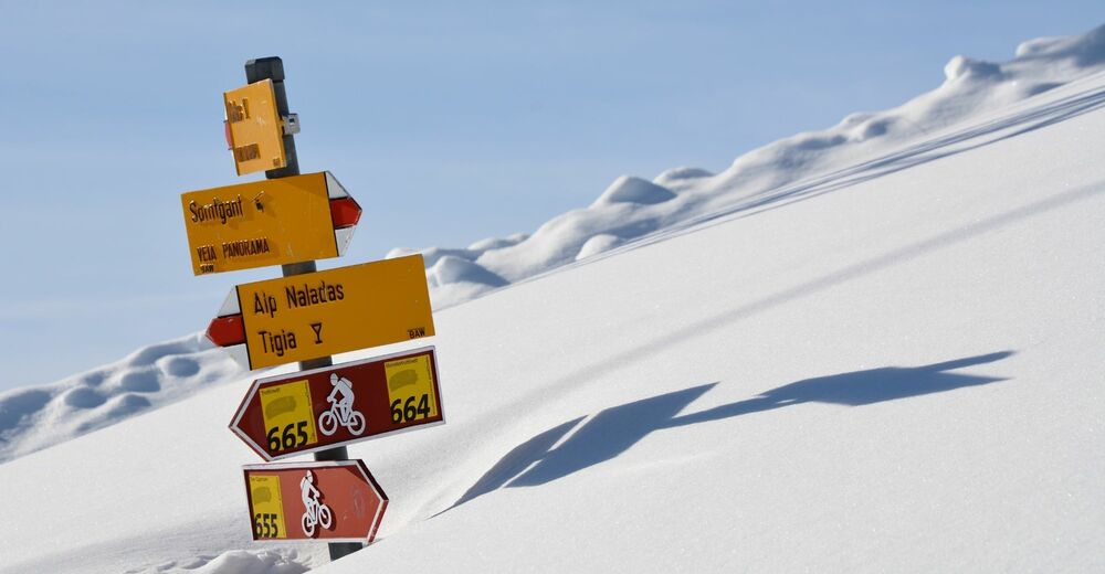
Tigignas
- Hoogteprofiel
-
 © outdooractive.com

- Auteur
-
De rondleiding 340 Panoramaweg Somtgant wordt gebruikt door outdooractive.com op.
GPS Downloads


Algemene info
Verfrissingsstop
Tip voor insiders
Veelbelovend
Meer rondleidingen in de regio's
-
Val Surses
155
-
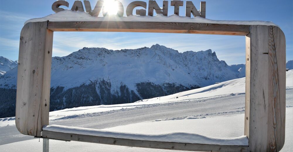
Savognin
26