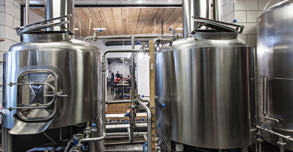
© Südböhmische Fremdenverkehrszentrale - Jan Pirgl
© Südböhmische Fremdenverkehrszentrale - Jan Pirgl
© Südböhmische Fremdenverkehrszentrale - Jan Pirgl
© Südböhmische Fremdenverkehrszentrale - Jan Pirgl
© Südböhmische Fremdenverkehrszentrale - Jižní Čechy
© Südböhmische Fremdenverkehrszentrale - Jižní Čechy
© Südböhmische Fremdenverkehrszentrale - Jižní Čechy
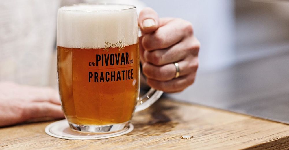
© Südböhmische Fremdenverkehrszentrale - Jižní Čechy
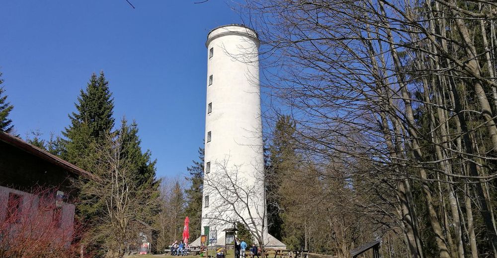
© Südböhmische Fremdenverkehrszentrale - Jižní Čechy
© Südböhmische Fremdenverkehrszentrale - Jižní Čechy


- Korte beschrijving
-
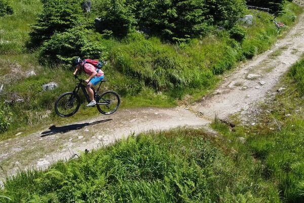
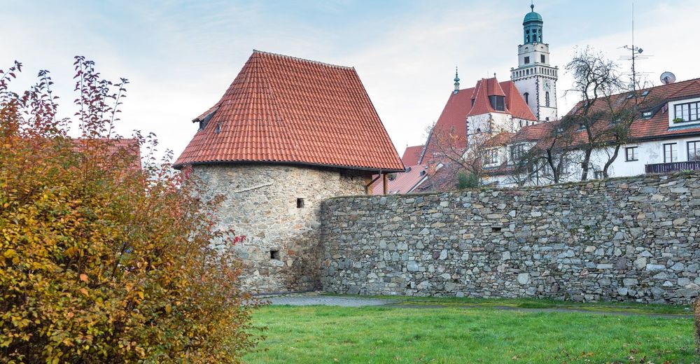
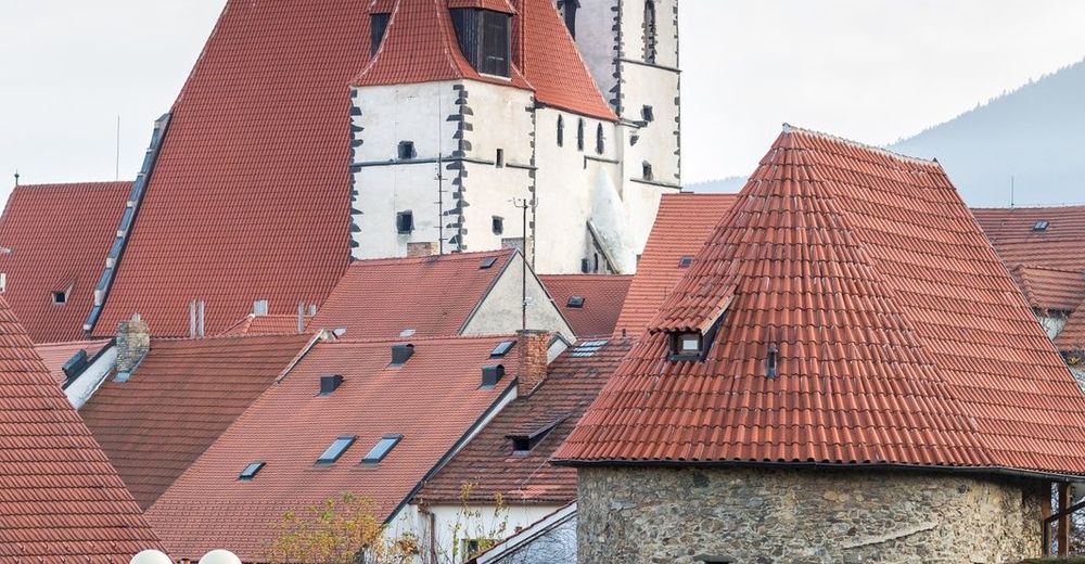
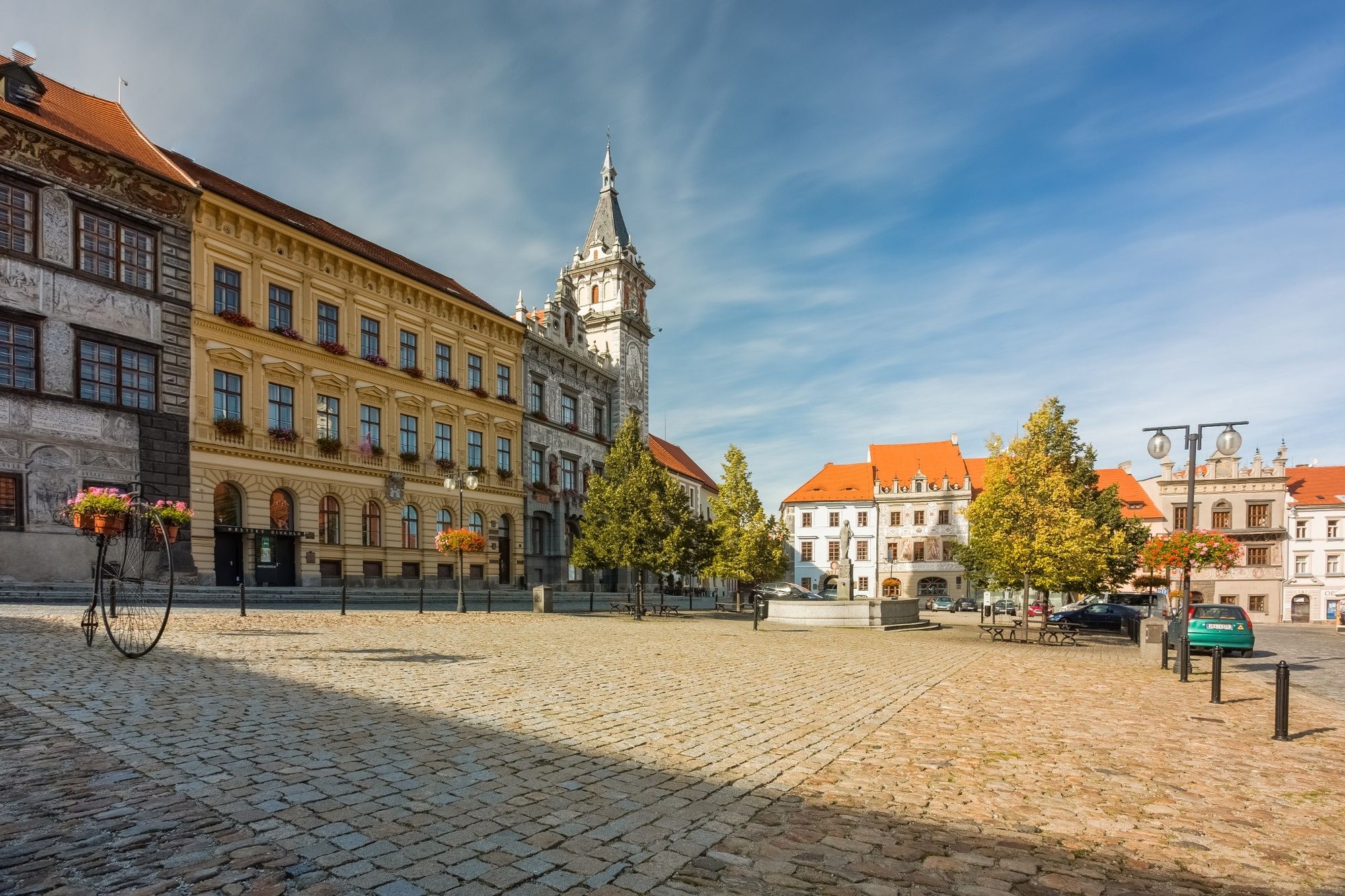
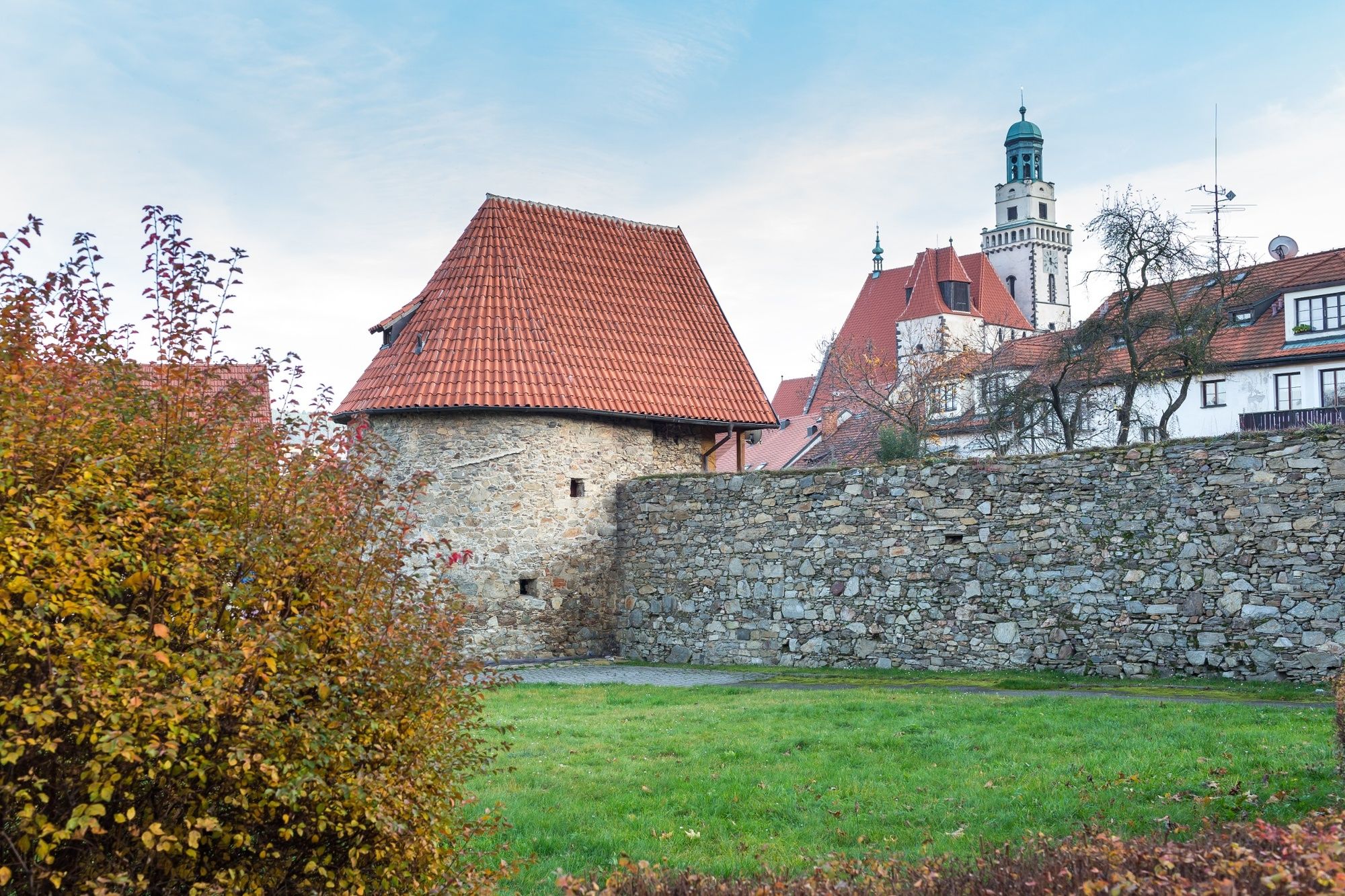
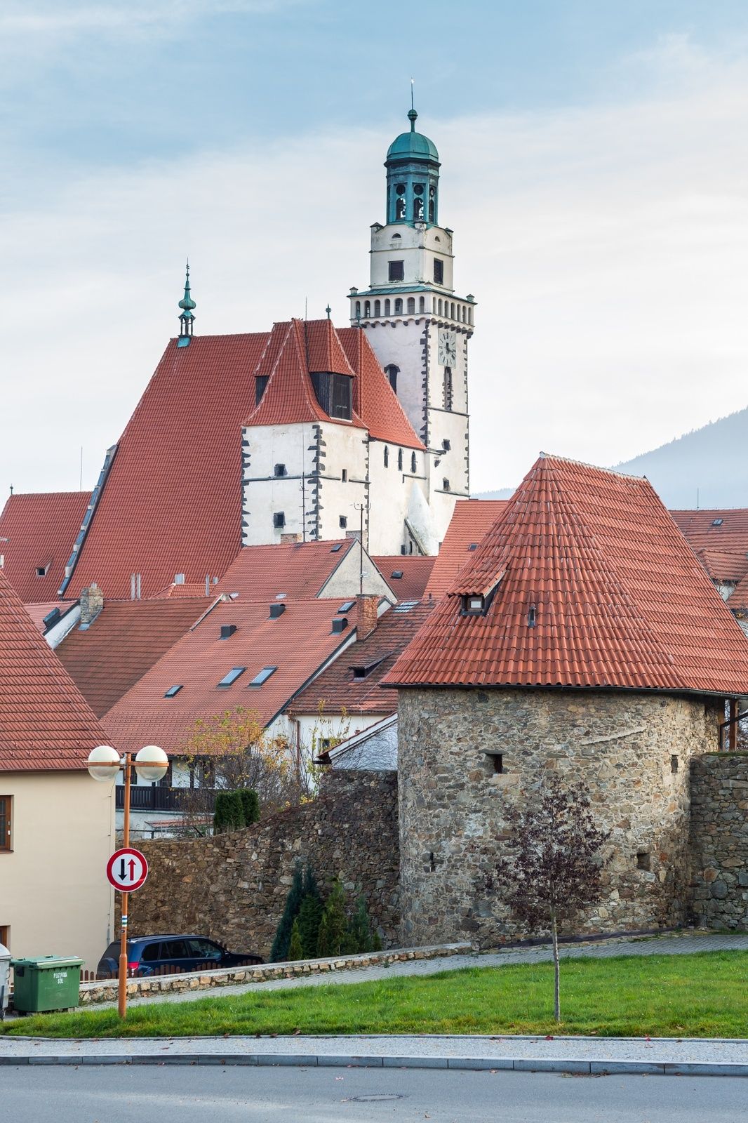
Take a walk on the German side along the Prachatice Golden Path, which was already used by the salt traders from Passau in the Middle Ages. Along the way you will find information boards and the beauty of the Bohemian Forest.
- Moeilijkheid
-
medium
- Waardering
-
- Route
-
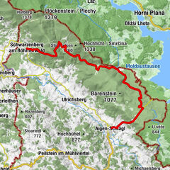
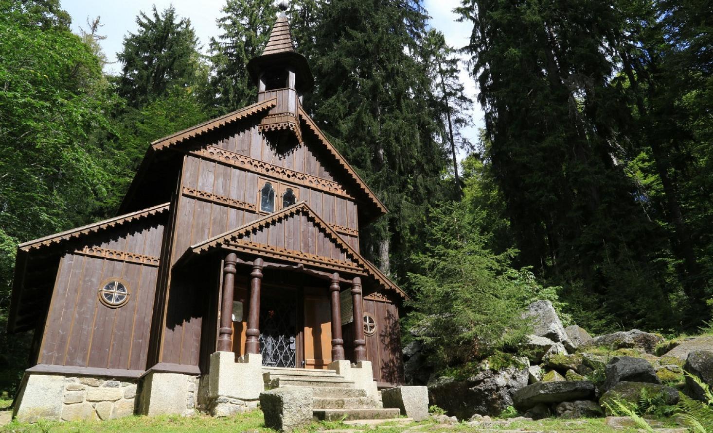
PrachatitzPrachatice Isv. Jana Nepomuckého0,0 kmKaple svatého Antonína Paduánského0,0 kmPod lesem0,8 kmPIZZA - CAFÉ - GALLERY4,6 kmLibínské Sedlo4,7 kmKostel sv. Anny4,7 kmNa sedle4,9 kmKřišťanovice9,1 kmKaplička9,7 kmBlažejovice10,3 kmZuderschlag12,3 kmSvatá Kateřina18,2 kmBobík18,2 kmWallern18,7 kmBrixův dvůr20,0 kmBrunnenwasser20,9 kmStögrova Huť21,6 kmSoumarská hospoda - U Max U23,6 kmBöhmisch Röhren29,5 kmSvatý Florián29,8 kmSteinköpfelhäuser30,9 kmMarchhäuser33,0 kmBischofsreut34,2 kmWirtsmautnerhof39,3 kmLeopoldsreut (1.110 m)39,6 kmAu43,3 kmGrainet45,1 kmSt. Nikolaus45,2 kmFürholz47,0 kmBauer-Kreuz49,2 kmBöhmzwiesel50,1 kmGasthaus Eckerl (Frongahof)50,1 kmZwieselbergkapelle50,6 kmEdelmühle51,4 kmAuerbach51,7 kmWaldkirchen55,1 kmSchrot und Spelzen56,4 kmSaßbach56,8 kmDeching61,5 kmAußernbrünst61,7 km
- Beste seizoen
-
janfebmrtaprmeijunjulaugsepoktnovdec
- Maximale hoogte
- 1.118 m
- Bestemming
-
Deching
- Hoogteprofiel
-
 © outdooractive.com


- Auteur
-
De rondleiding Golden Path from Prachatice to Germany wordt gebruikt door outdooractive.com op.
GPS Downloads


Algemene info
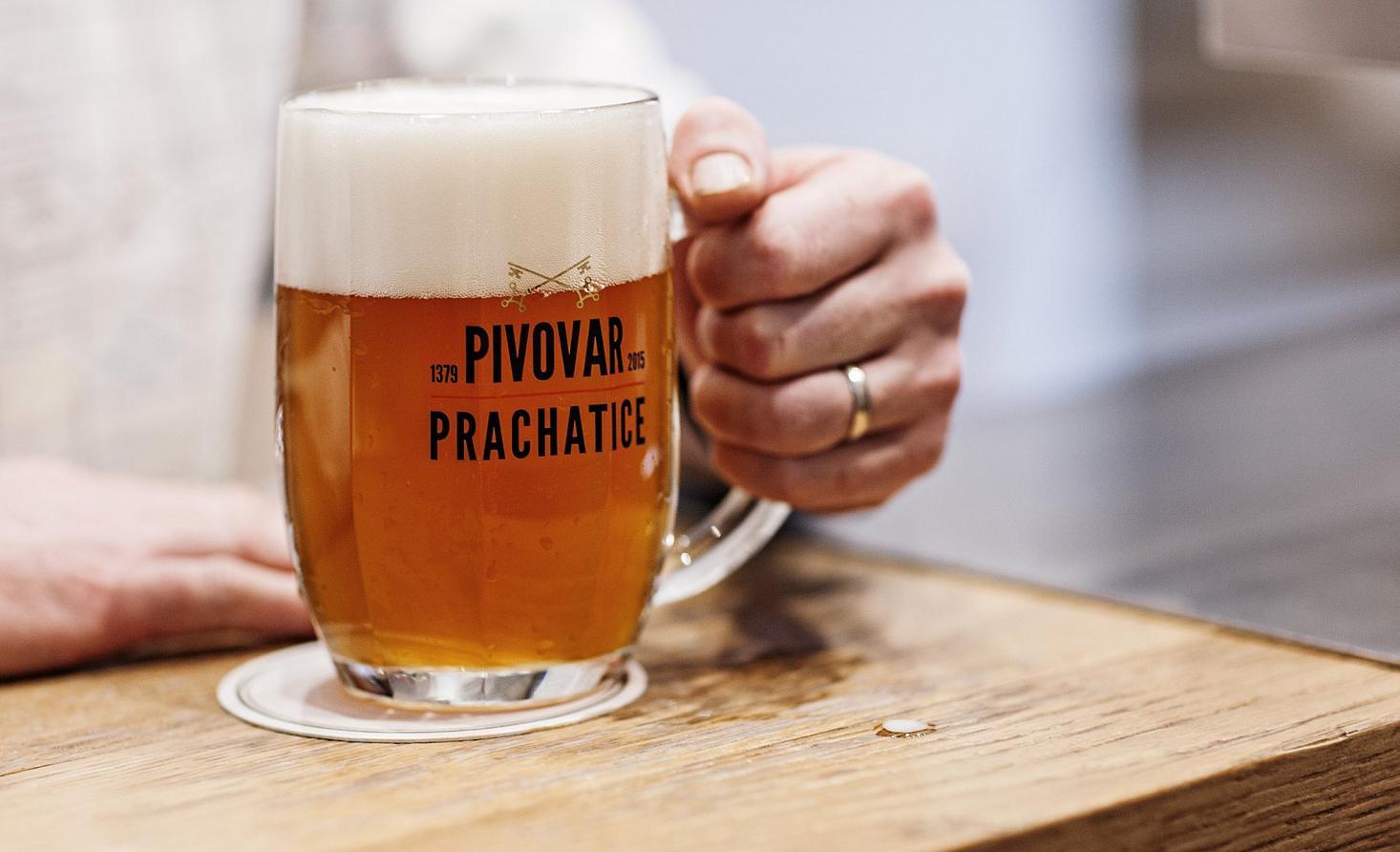
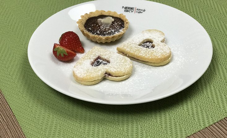
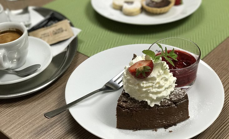
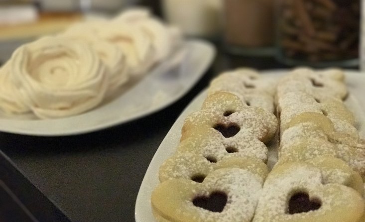
Verfrissingsstop
Cultureel/Historisch
Flora
Fauna
Veelbelovend
Meer rondleidingen in de regio's
-
Böhmerwald
61
-
Haidmühle
14