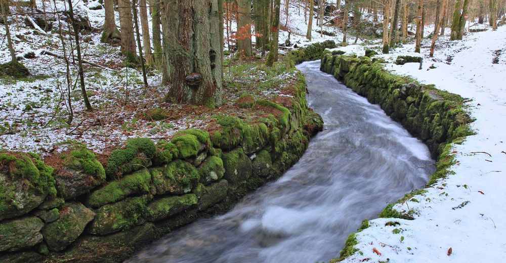
Around the Vltava river and its tributary into the Lipno dam

Fietsen
© Südböhmische Fremdenverkehrszentrale - Jižní Čechy
© Südböhmische Fremdenverkehrszentrale - Jižní Čechy


- Moeilijkheid
-
medium
- Waardering
-
- Route
-
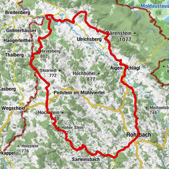
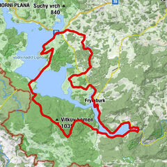
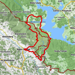
Horní Planá - přívoz0,0 kmNa Pláži0,2 kmOberplan0,8 kmZa nádražím1,2 kmPod tratí1,6 kmNa špici2,8 kmU viaduktu3,7 kmBerneck5,3 kmZáhvozdí14,6 kmSchönau17,2 kmDlouhý Bor26,6 kmNeuofen27,0 kmU Přívozu33,8 kmVorderstift33,9 kmBližší Lhota33,9 km
- Beste seizoen
-
janfebmrtaprmeijunjulaugsepoktnovdec
- Maximale hoogte
- 981 m
- Hoogteprofiel
-
 © outdooractive.com


- Auteur
-
De rondleiding Around the Vltava river and its tributary into the Lipno dam wordt gebruikt door outdooractive.com op.
GPS Downloads


Algemene info
Verfrissingsstop
Flora
Fauna
Veelbelovend
Meer rondleidingen in de regio's