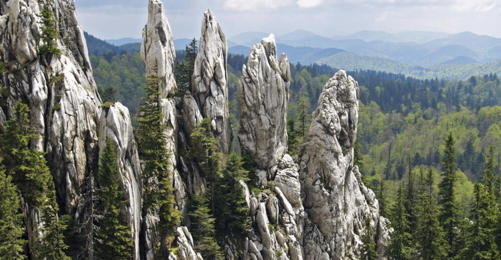
Via Dinarica HR-W-06 Strict nature reserve Bijele i Samarske stijene


- Korte beschrijving
-
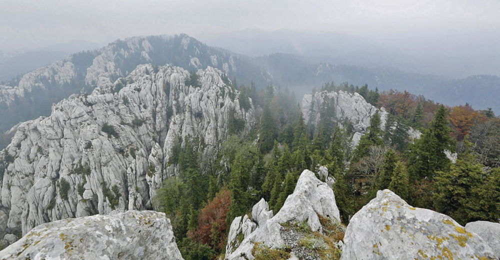
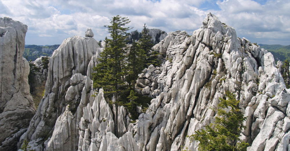
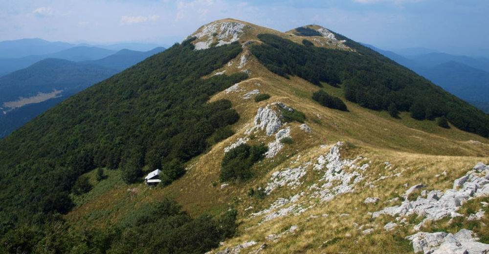
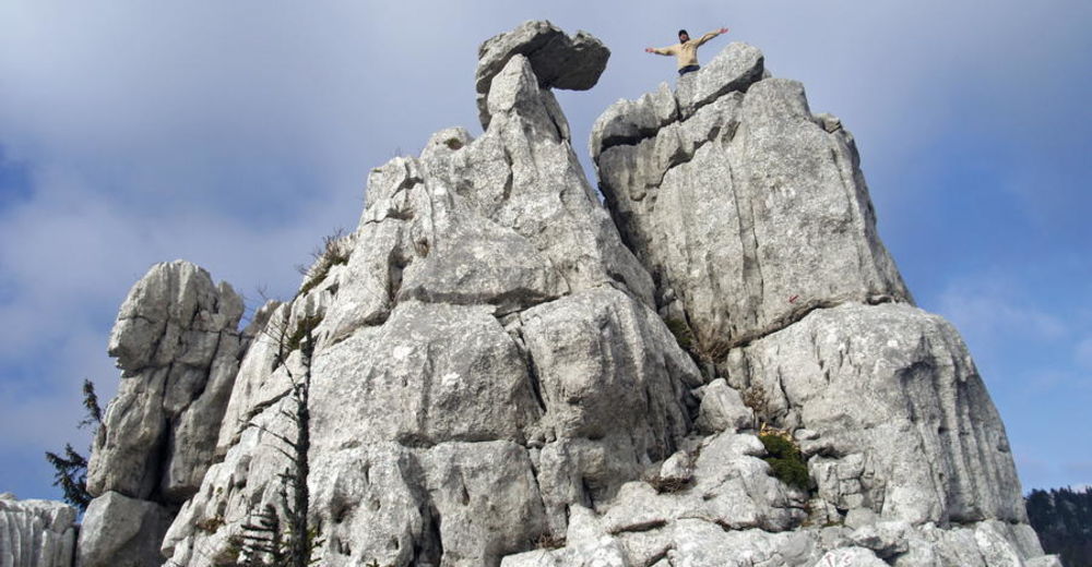
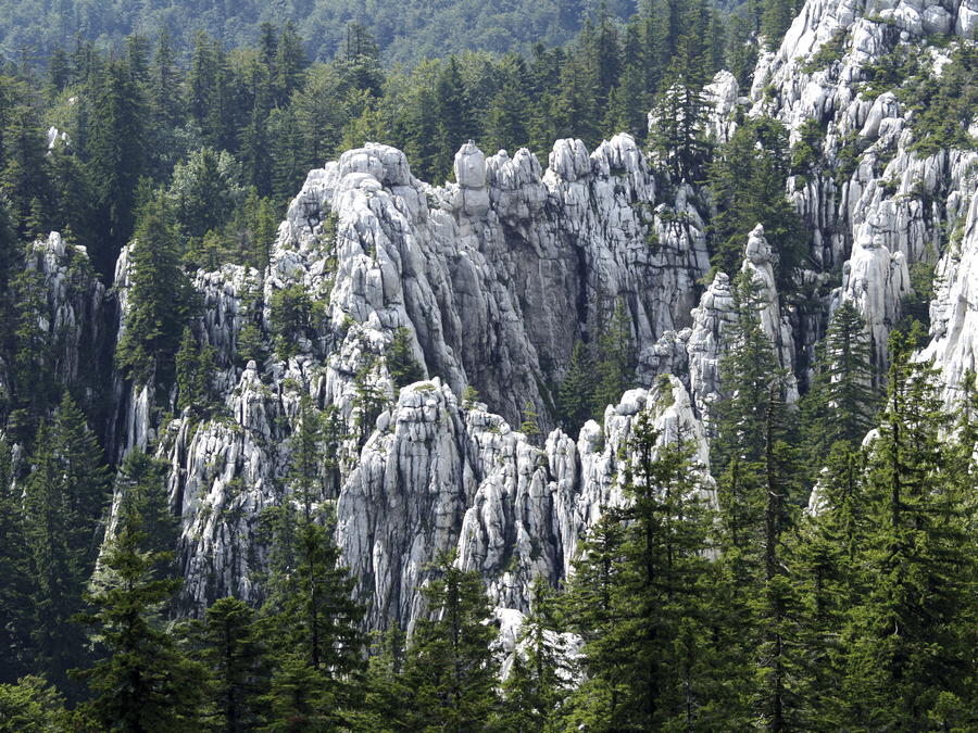
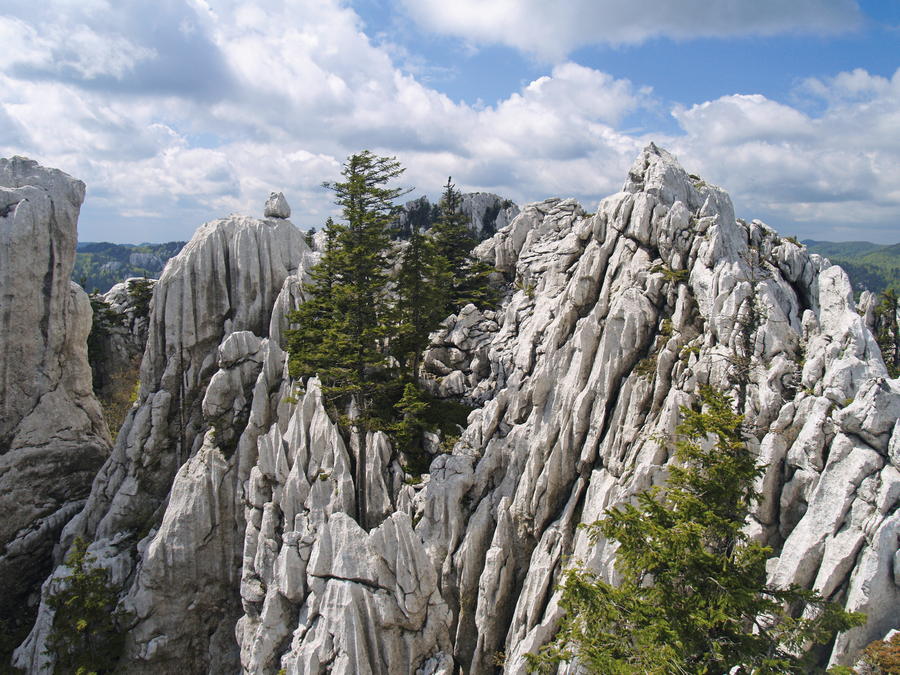
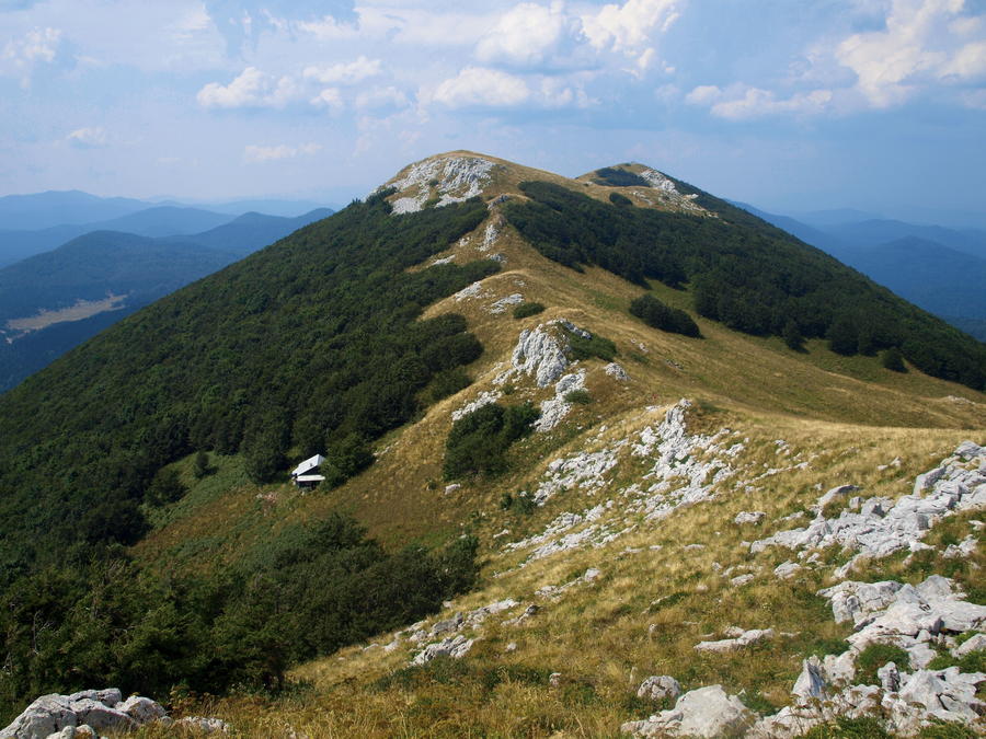
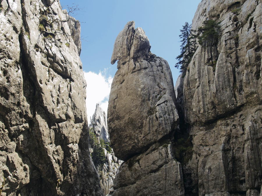
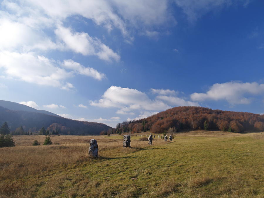
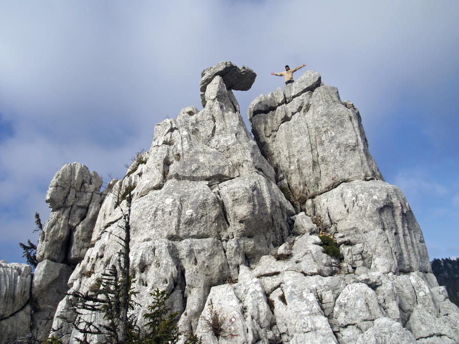
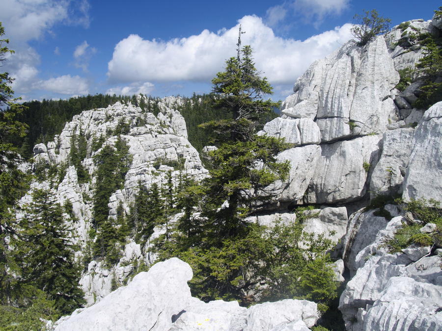
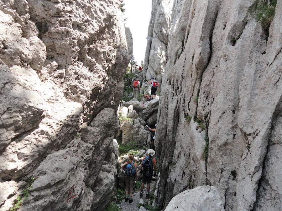
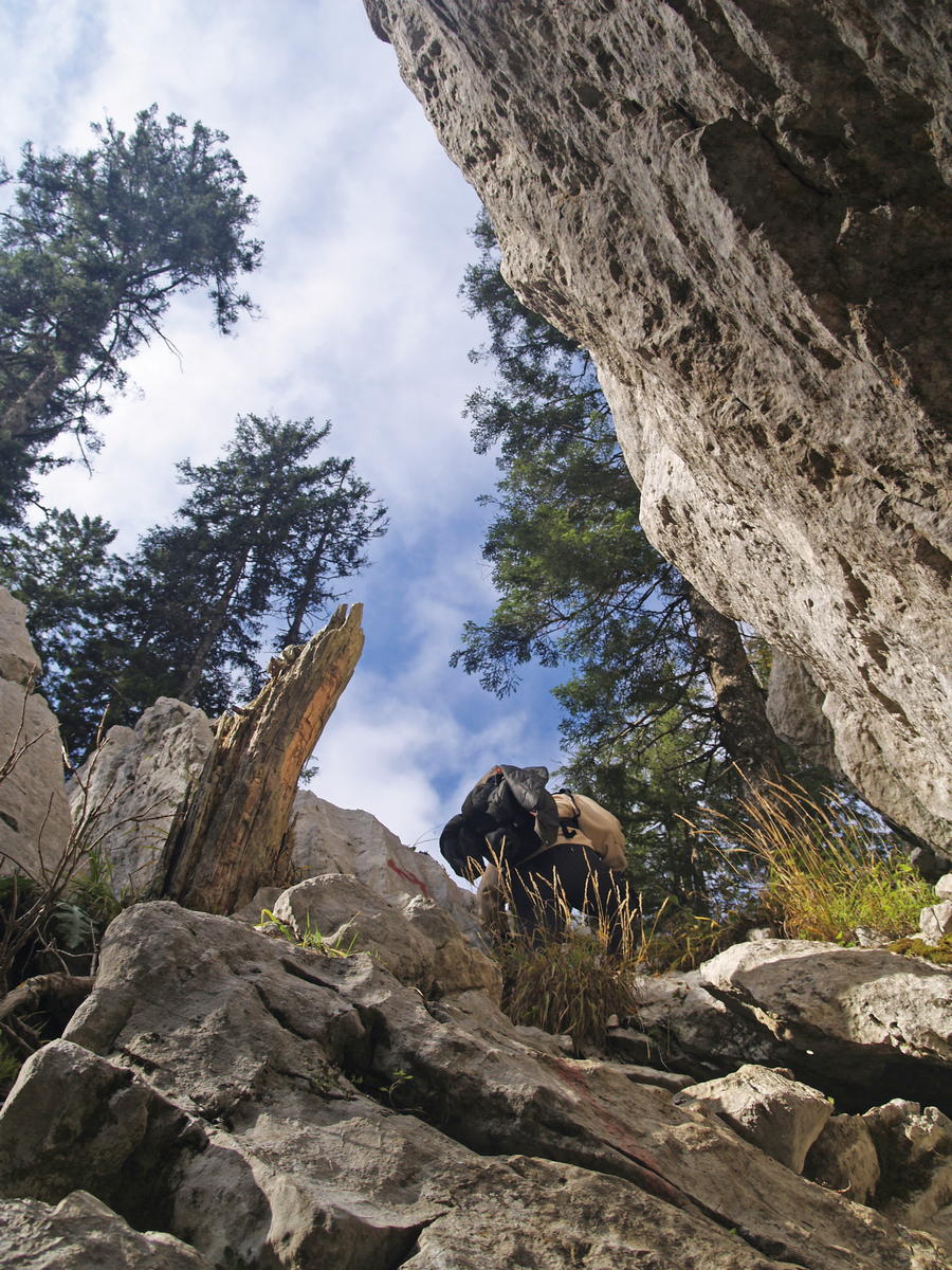
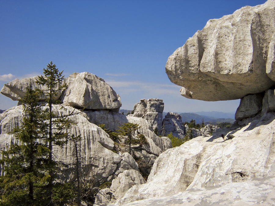
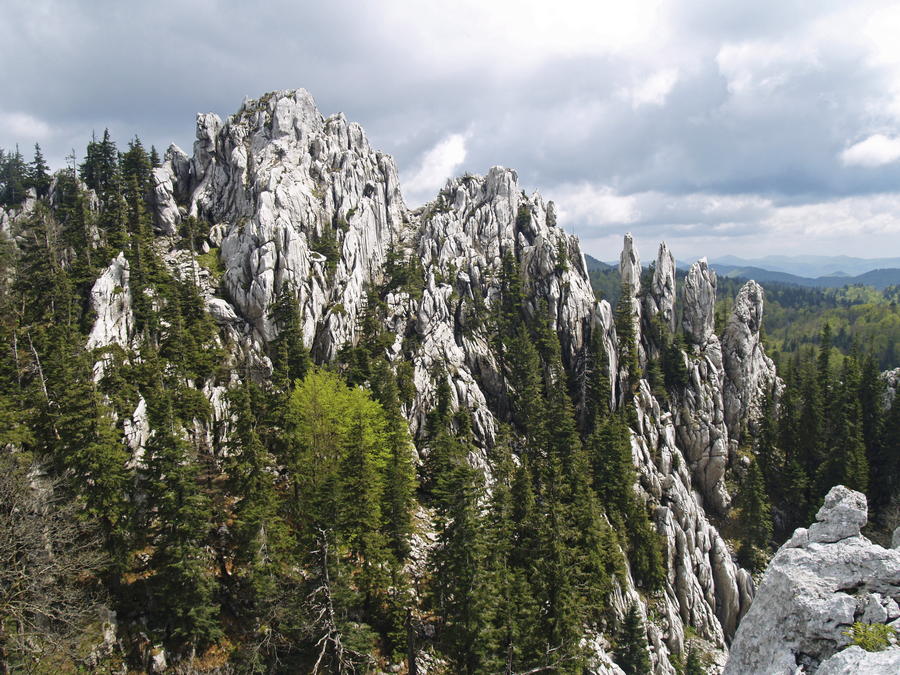
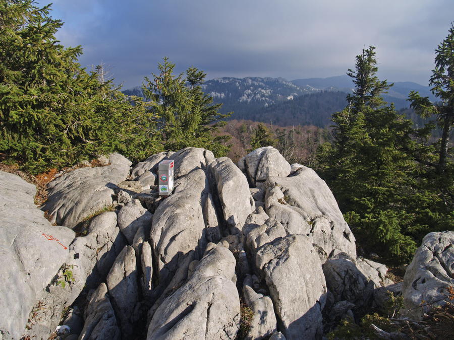
Kapela is a spacious mountain area at the southern end of the region of Gorski kotar, linking that area with Velebit and Lička Plješivica. This massif, 100 kilometers long, is characterized by high plateaus covered in forest and interspersed with meadows, almost impassable rocky terrain sections and pronounced peaks. Approximately in the middle of Kapela, the ancient Josephina Road linking the cities of Karlovac, Ogulin and Senj crosses over the mountain pass Vrh Kapele (884 m.a.s.l.), dividing the mountain into two parts similar in size: Velika Kapela and Mala Kapela. Only the area of Velika Kapela is interesting from a mountaineering point of view, since it includes all the highest peaks and several protected areas, the most important and most attractive among them being the protected area of Bijele stijene and Samarske stijene.
- Moeilijkheid
-
medium
- Waardering
-
- Route
-
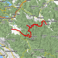
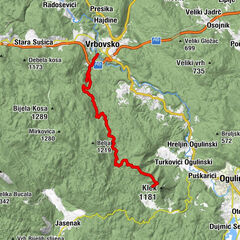
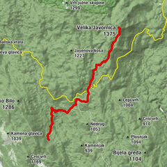
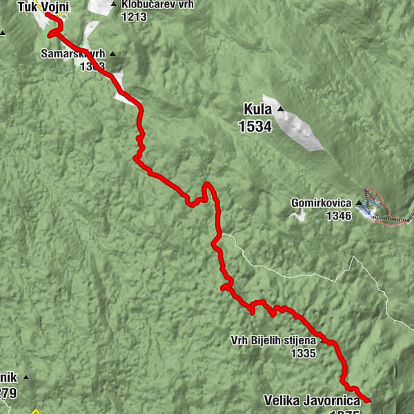
Tuk VojniDom Bijele Stijene0,0 kmPlana8,5 kmMlečikov lug10,0 kmVrh Samarskih stijena (1.302 m)12,0 kmRatkovo sklonište (1.200 m)13,2 kmVrh Bijelih stijena (1.335 m)16,4 kmVelika Javornica (1.375 m)18,7 km
- Beste seizoen
-
janfebmrtaprmeijunjulaugsepoktnovdec
- Maximale hoogte
- 1.351 m
- Bestemming
-
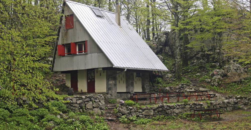
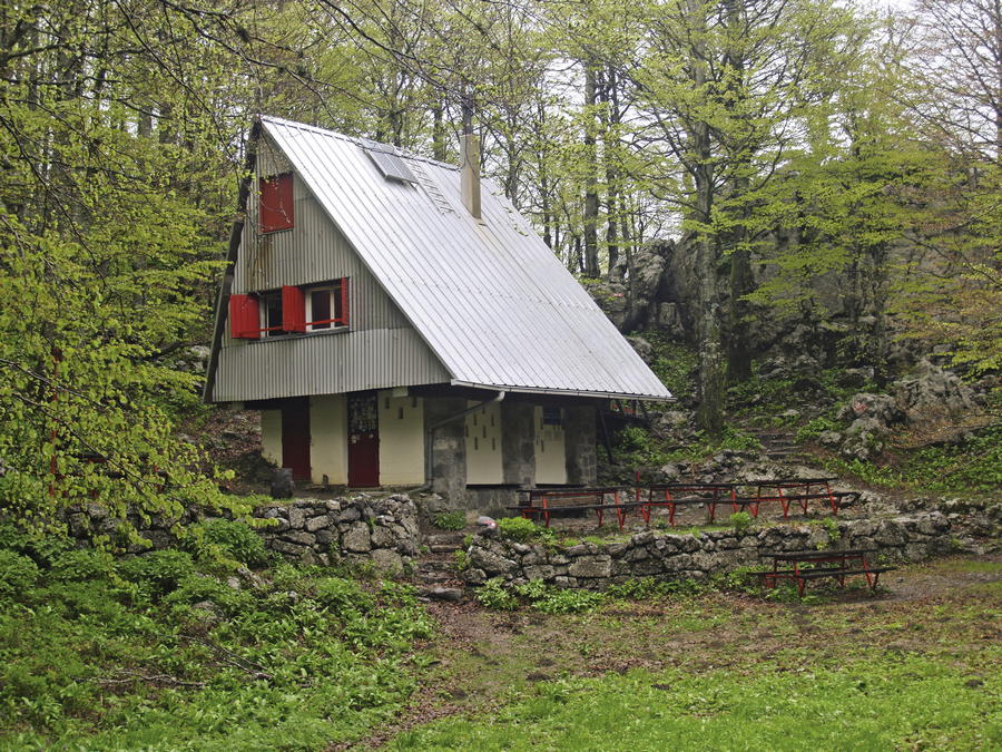
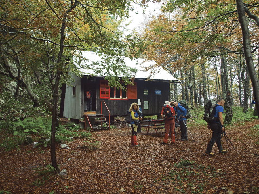
Mountain hut Dragutin Hirc
- Hoogteprofiel
-
 © outdooractive.com


-

-
AuteurDe rondleiding Via Dinarica HR-W-06 Strict nature reserve Bijele i Samarske stijene wordt gebruikt door outdooractive.com op.


-
Gorski kotar
28
-
Mrkopalj
7