


- Korte beschrijving
-
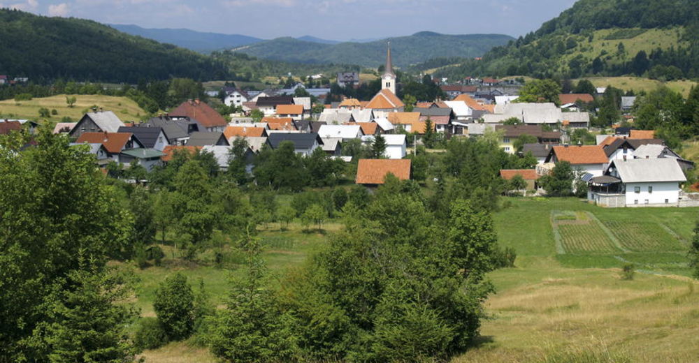
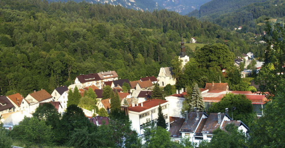
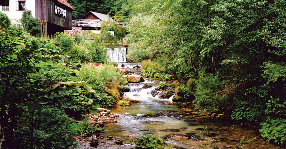
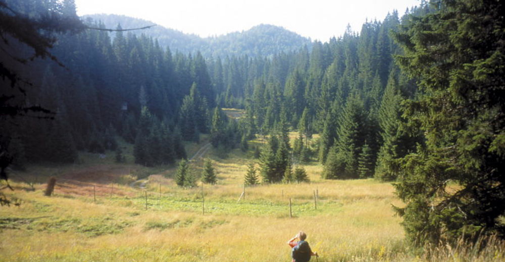
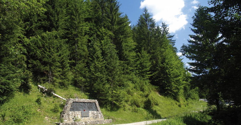
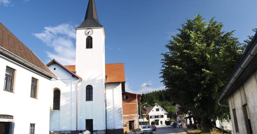
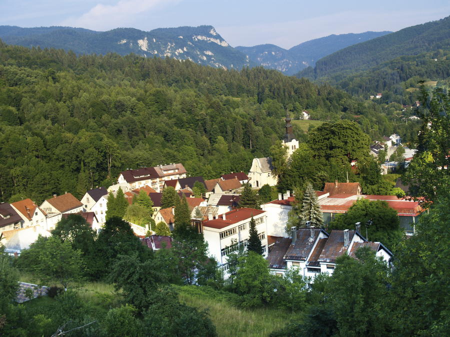
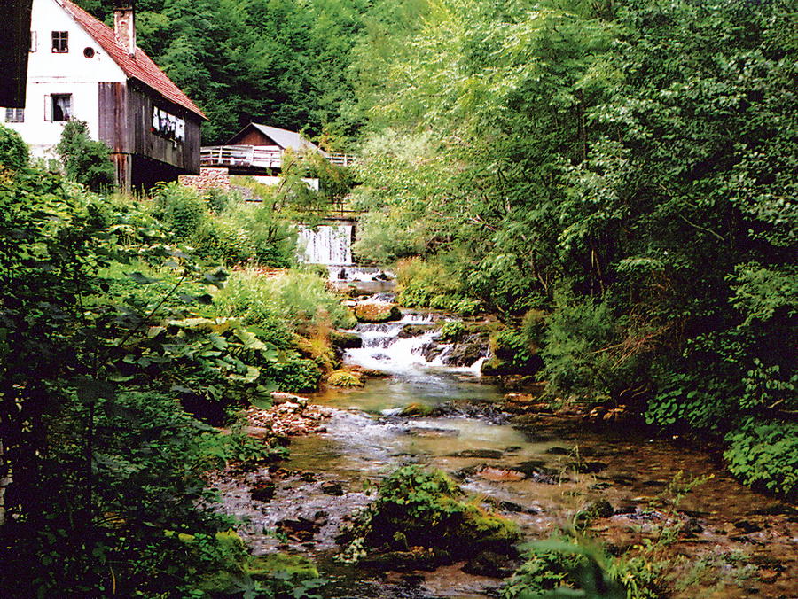
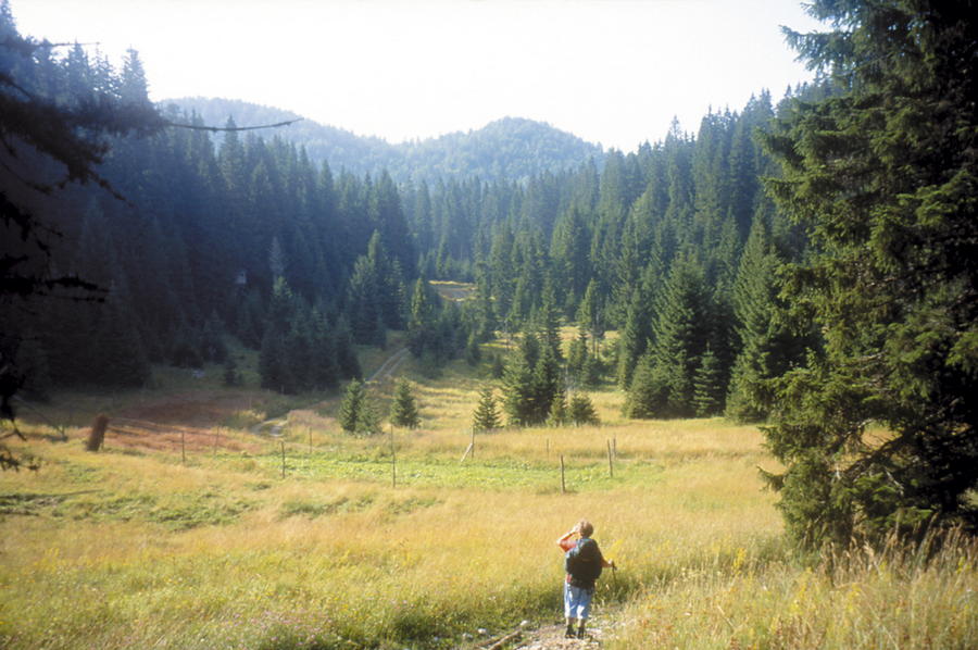
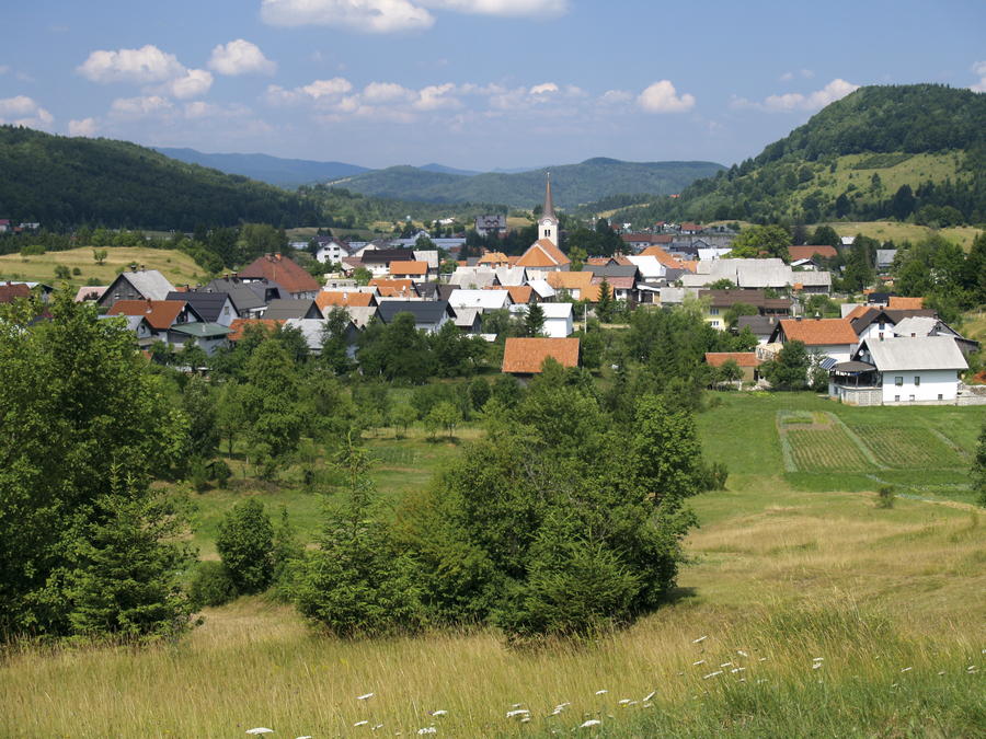
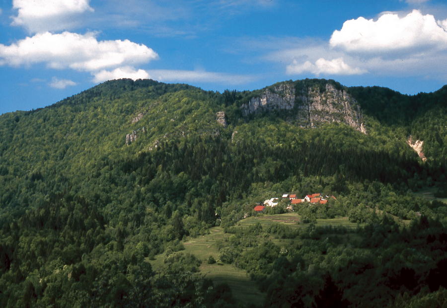
In the northern part of the region of Gorski kotar, north of the mountain area of Risnjak and the city of Delnice, there is a mountainous and forested area with the settlements of Gerovo, Čabar and Prezid as key centers. This area offers a sight of the most beautiful mountain oasis in that part of Croatia. The area is surrounded by the Slovenian territory on two sides. To the east, it is bordered by a small river called Čabranka; to the west, its border passes through immense forest expanses; at its northernmost point, in Prezid, there is a border crossing point where Via Dinarica enters Croatia from Slovenia. After the cessation of the Schengen border procedure at the border between Croatia and Slovenia and following some other preconditions, the idea is to move the White Line route of Via Dinarica to the route of what was once the Snežnik – Snježnik path.
- Moeilijkheid
-
medium
- Waardering
-
- Route
-
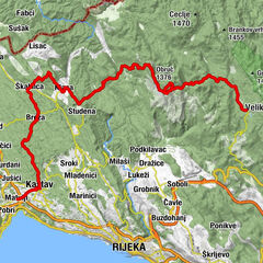
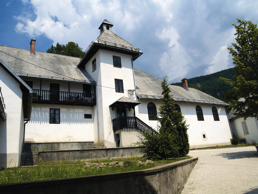
Vražji vrtec (904 m)1,2 kmPrezid3,2 kmKozji vrh (916 m)4,3 kmcrkva Majke Božje od Sedam Žalosti5,2 kmBife kod Marta5,7 kmKozji Vrh5,7 kmGorači7,2 kmTropeti12,2 kmČabar13,0 kmCrkva svetog Antuna Padovanskog13,0 kmLoknari13,9 kmVrhovci15,4 kmLazi17,2 kmTršće17,9 kmFrbežari18,5 kmMountain hut Frbežari18,6 km
- Beste seizoen
-
janfebmrtaprmeijunjulaugsepoktnovdec
- Maximale hoogte
- 931 m
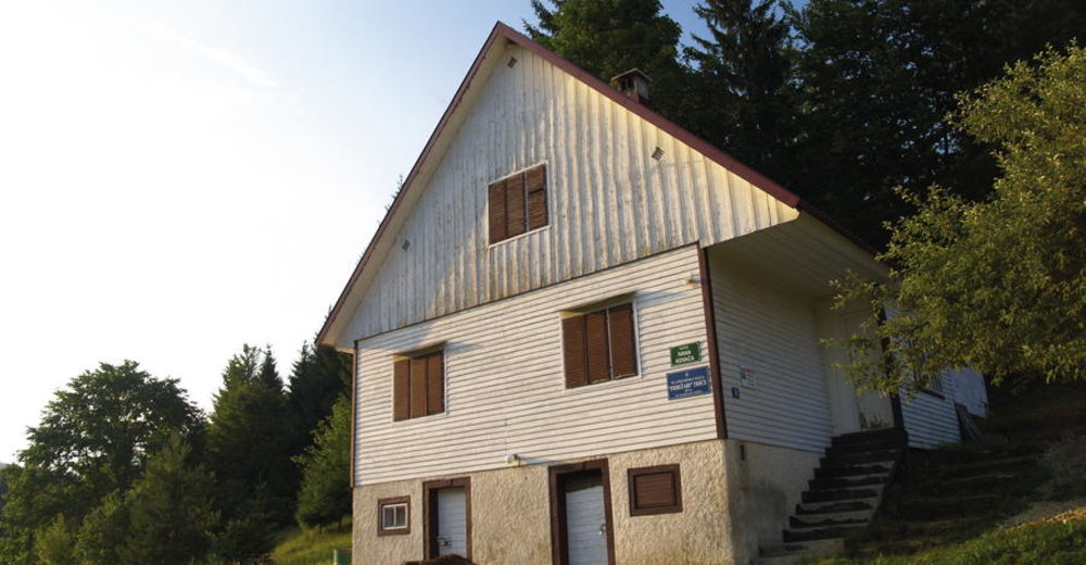
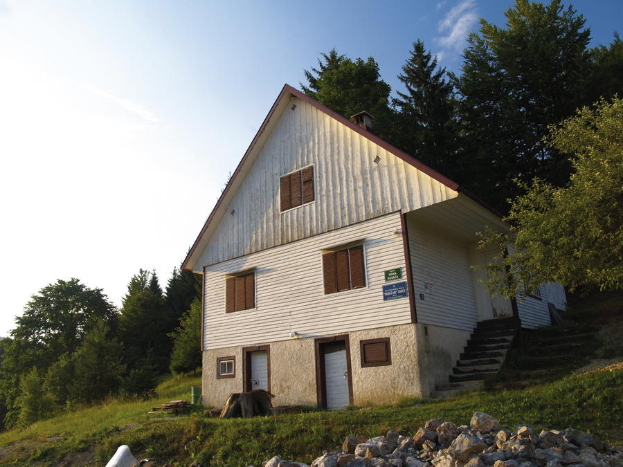
- Bestemming
-
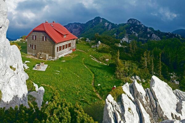
Mountain hut Frbežari
- Hoogteprofiel
-
 © outdooractive.com

-

-
AuteurDe rondleiding Via Dinarica HR-W-01 Prezid - Čabar - Tršće wordt gebruikt door outdooractive.com op.


-
Südostslowenien
12
-
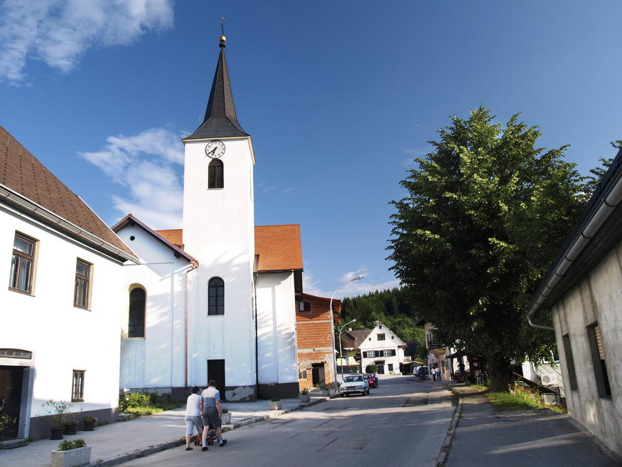
Čabar
7