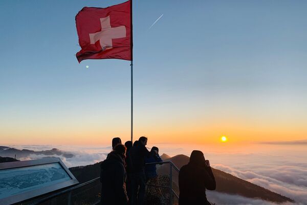
© Solothurn Tourismus - Solothurn Tourismus, Urs Amiet
© Tourenplaner SCHWEIZ - Region Solothurn Tourismus, Urs Amiet
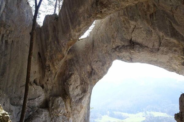
© Tourenplaner SCHWEIZ - Toni Kaiser
© Tourenplaner SCHWEIZ - Region Solothurn Tourismus, Urs Amiet
© Solothurn Tourismus - Region Solothurn Tourismus, Nadja Frey
© Solothurn Tourismus - Region Solothurn Tourismus, Nadja Frey

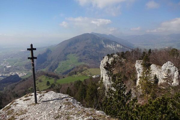
© Tourenplaner SCHWEIZ - Toni Kaiser
© Tourenplaner SCHWEIZ - Region Solothurn Tourismus, Urs Amiet
© Tourenplaner SCHWEIZ - Region Solothurn Tourismus, Urs Amiet
- Korte beschrijving
-
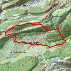
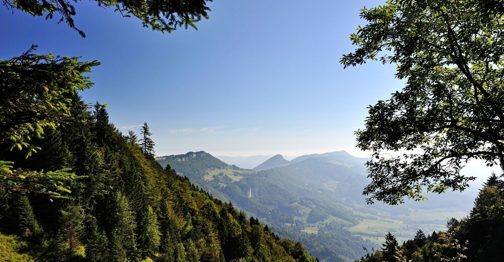
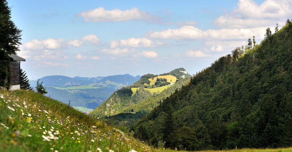
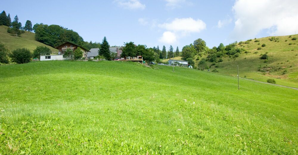
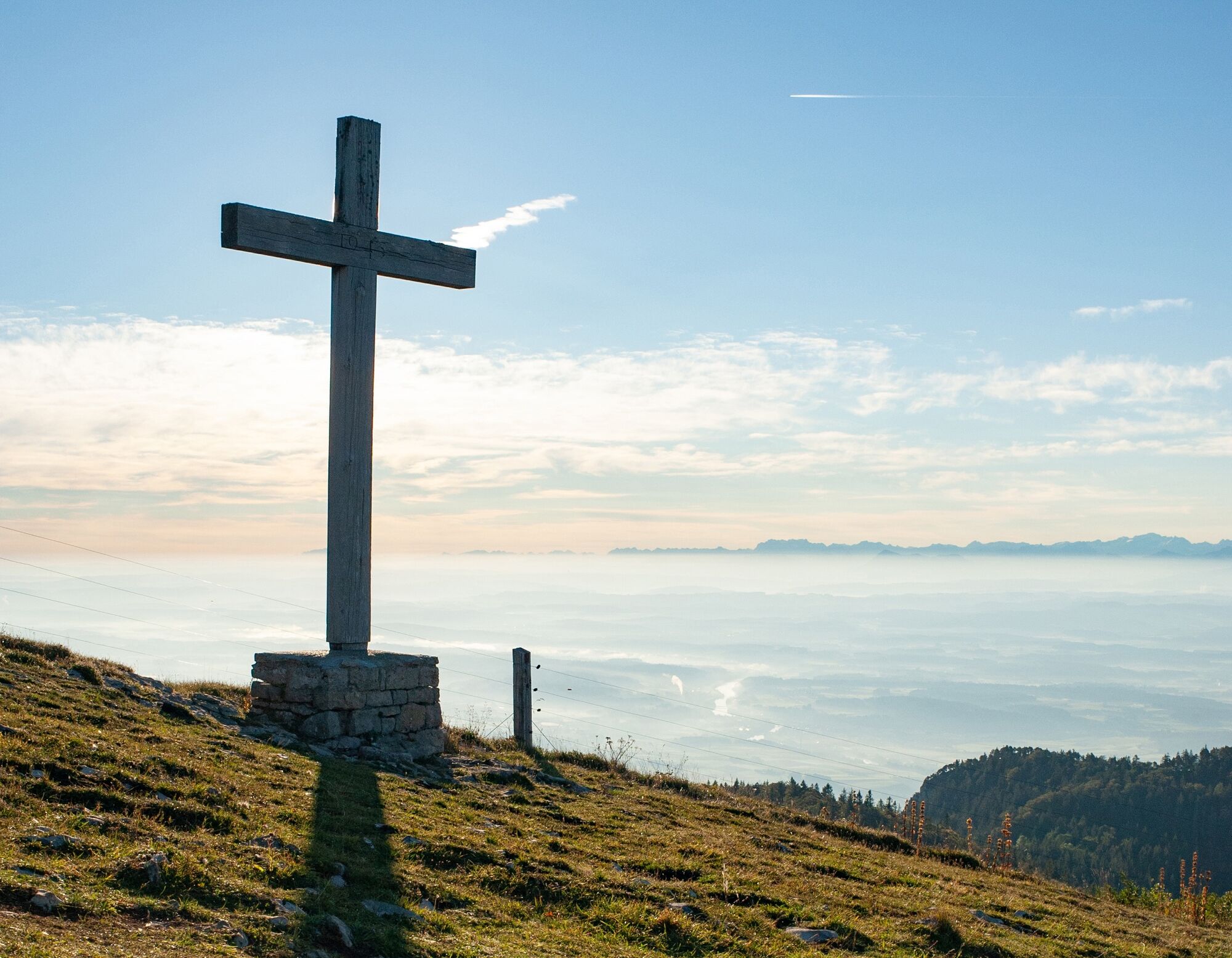
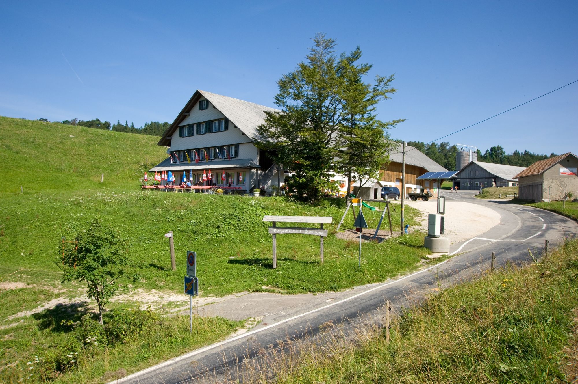
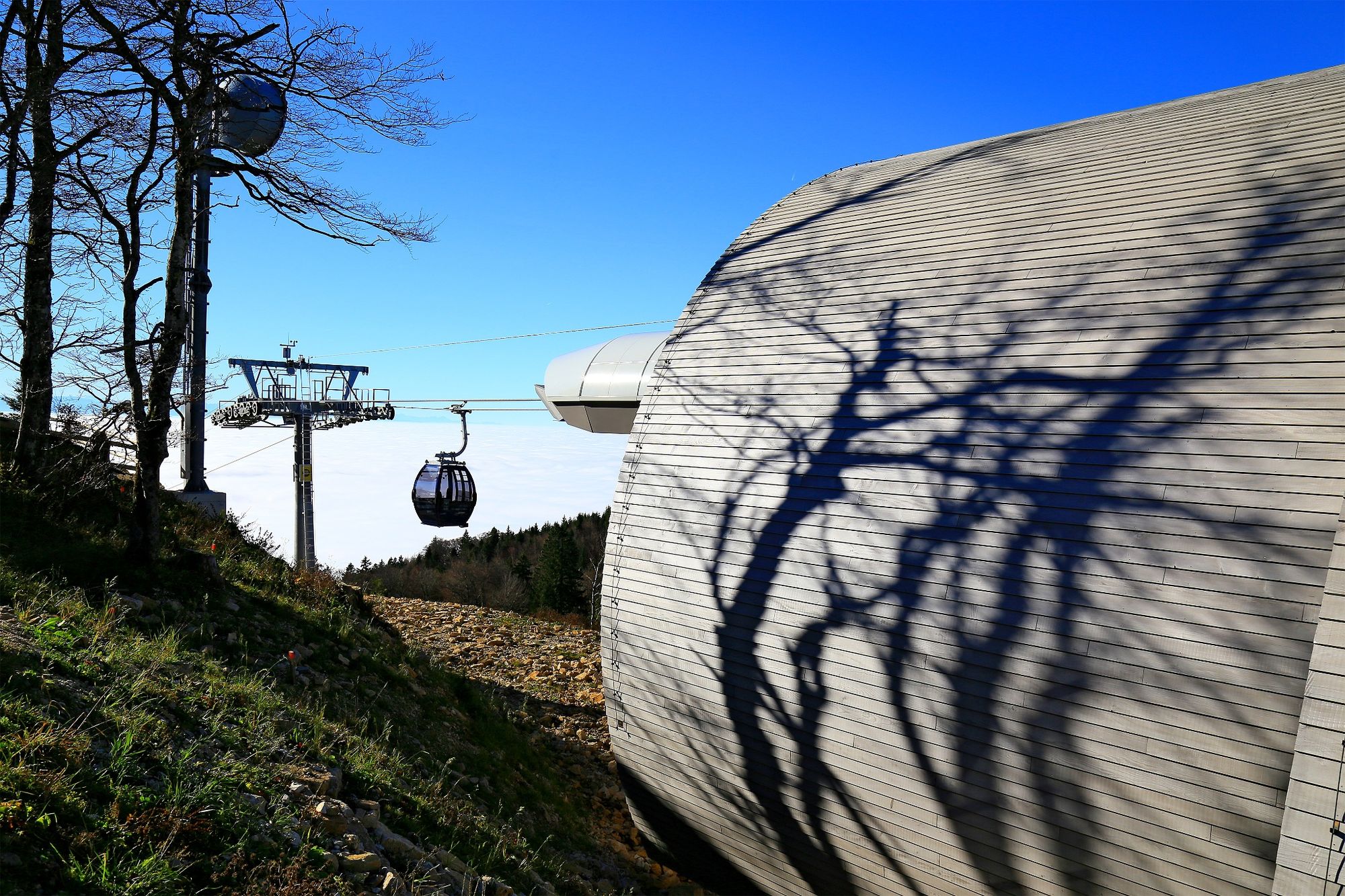
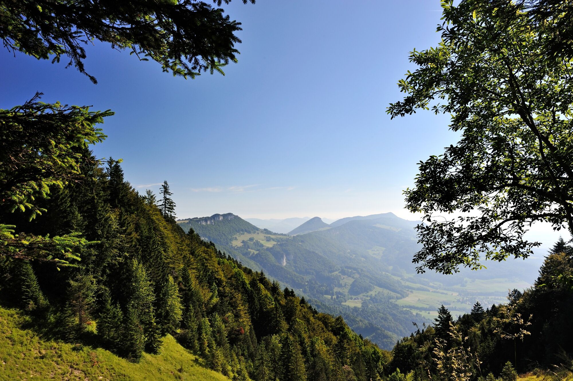
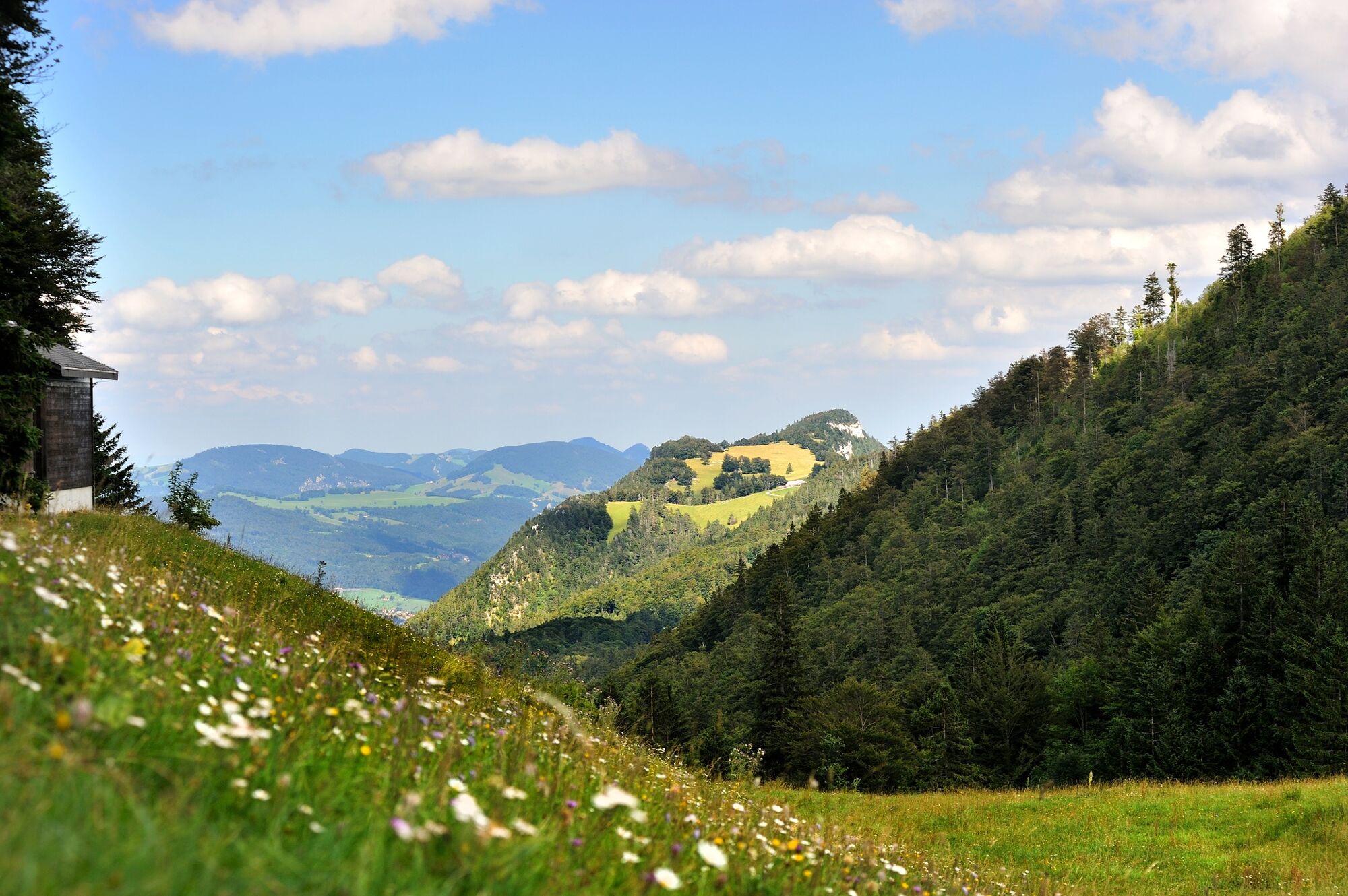
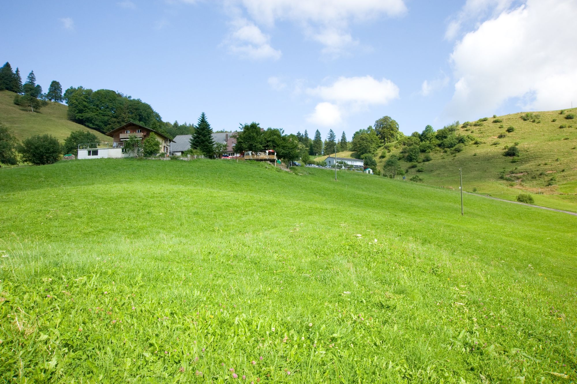
This diverse and enjoyable panoramic circular hiking route over the Solothurn heights leads from Balmberg mountain, via Röti, onto the Weissenstein summit and from there, back to the starting point.
- Moeilijkheid
-
medium
- Waardering
-
- Route
-
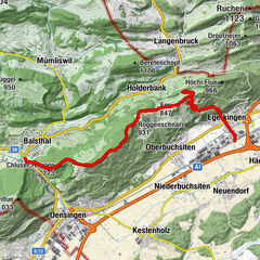
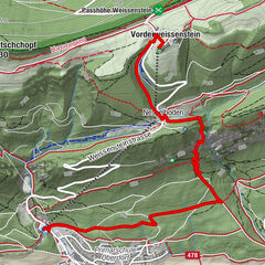
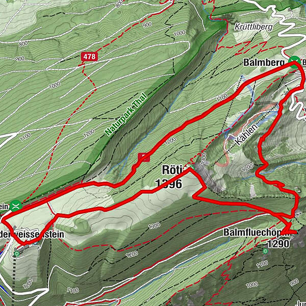
Herrenloch2,3 kmBalmfluechöpfli (1.290 m)2,3 kmRöti (1.396 m)3,7 kmVorderweissenstein5,4 kmWeissenstein (1.284 m)5,6 kmBalmberg8,6 kmBalmberg Passhöhe (1.078 m)8,6 km
- Beste seizoen
-
janfebmrtaprmeijunjulaugsepoktnovdec
- Maximale hoogte
- 1.393 m
- Bestemming
-
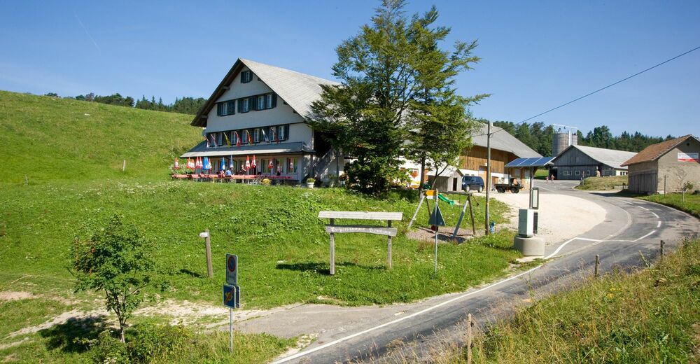
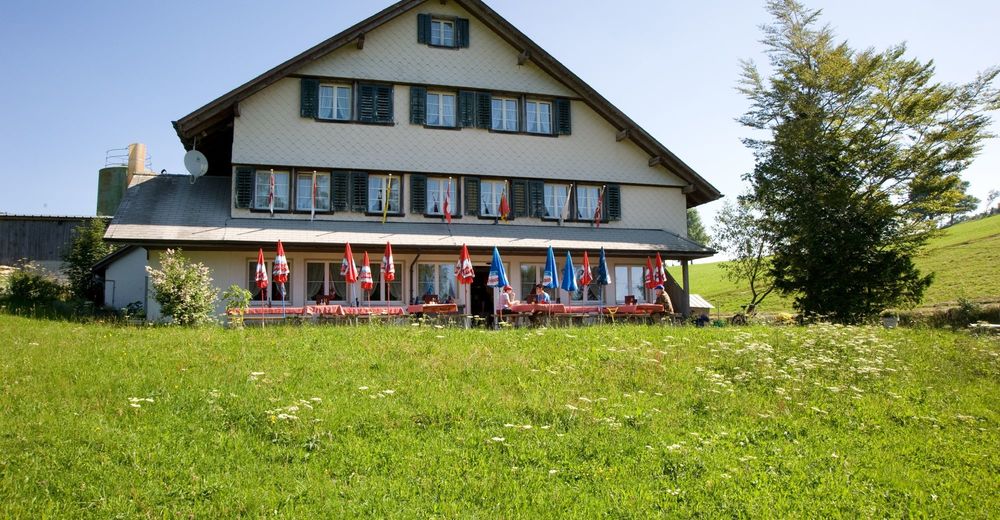
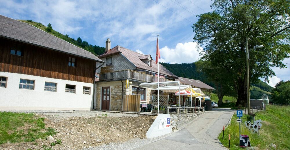
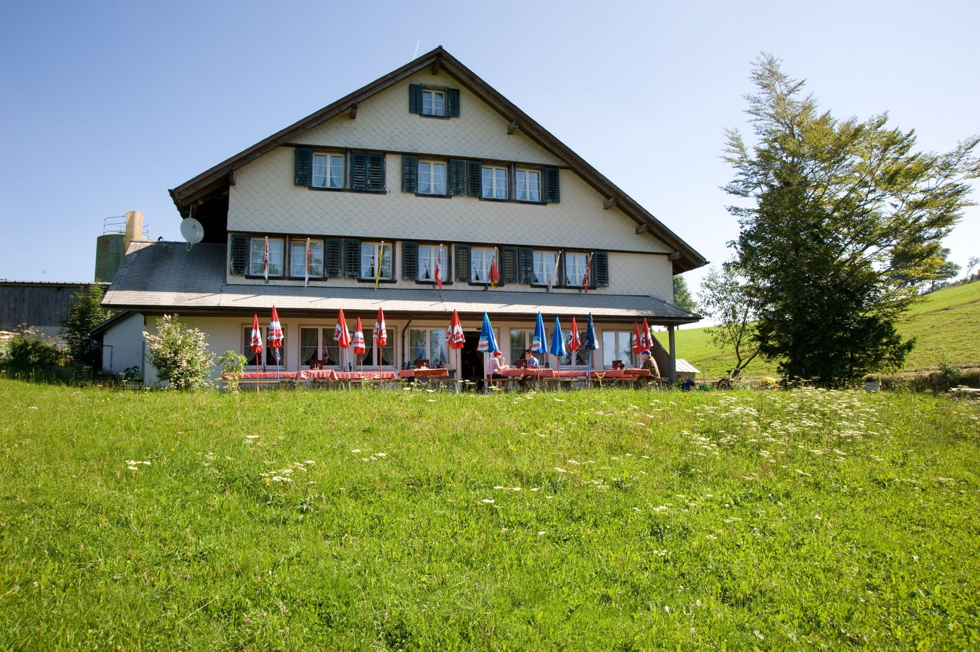
Balmberg (Postautohaltestelle Kurhaus)
- Hoogteprofiel
-
 © outdooractive.com


-

-
AuteurDe rondleiding Balmberg-Röti circuit wordt gebruikt door outdooractive.com op.
GPS Downloads


Algemene info
Verfrissingsstop
Cultureel/Historisch
Flora
Fauna
Veelbelovend
Meer rondleidingen in de regio's
-
Solothurn und Region
1456
-
Naturpark Thal
857
-
Rüttenen
200