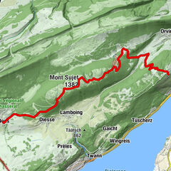
Toerdatums
4,93km
437
- 646m
237hm
235hm
01:22h
- Moeilijkheid
-
gemakkelijk
- Route
-
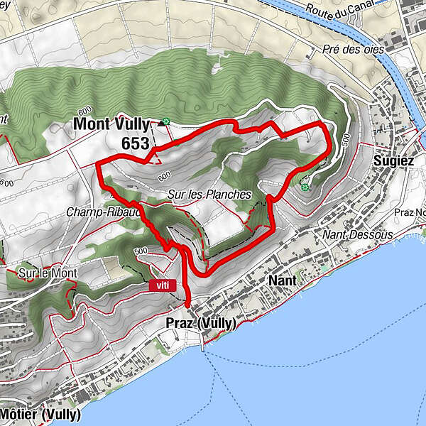
Praz (Vully)Mont Vully (653 m)1,8 kmSugiez3,1 kmNant3,9 km
- Maximale hoogte
- 646 m
- Bron
- Bergfex Tour Generator
GPS Downloads


Meer rondleidingen in de regio's