Lake loop 6th stage: Sankt Kanzian am Klopeiner See – Velden am Wörthersee

Lange afstand fietsroute


- Korte beschrijving
-
69 kilometres, 493 metres altitude difference
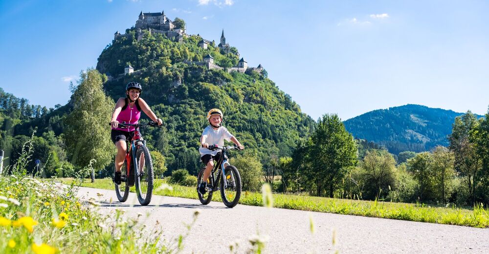
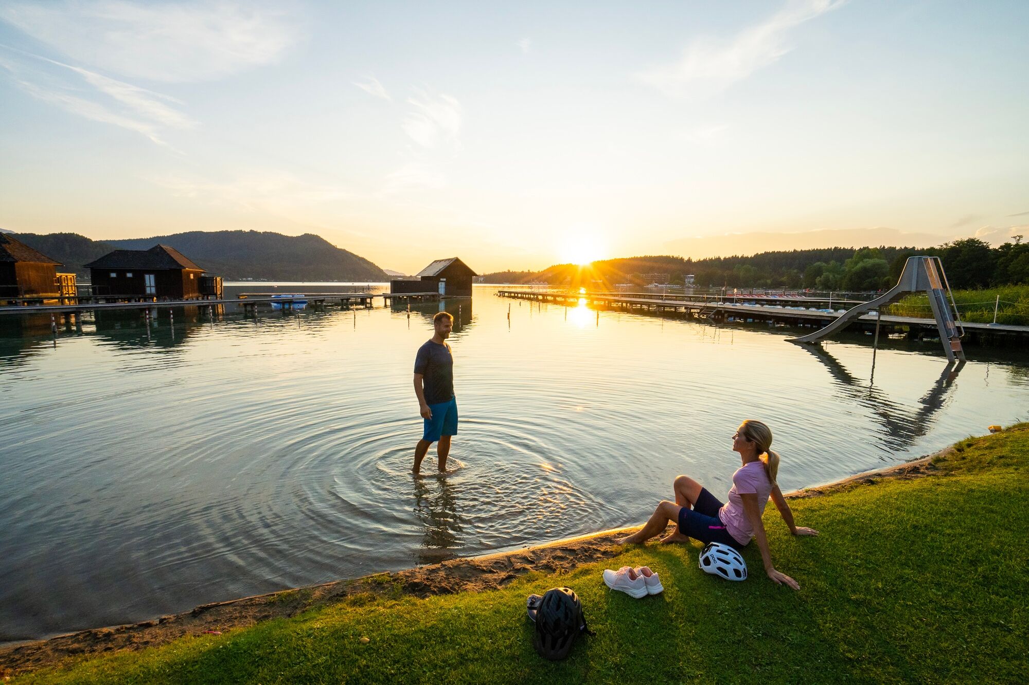
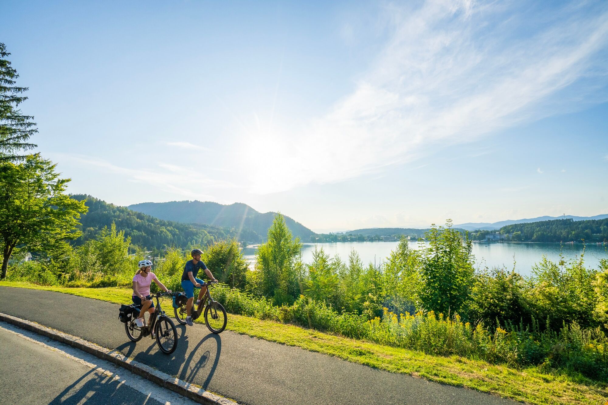
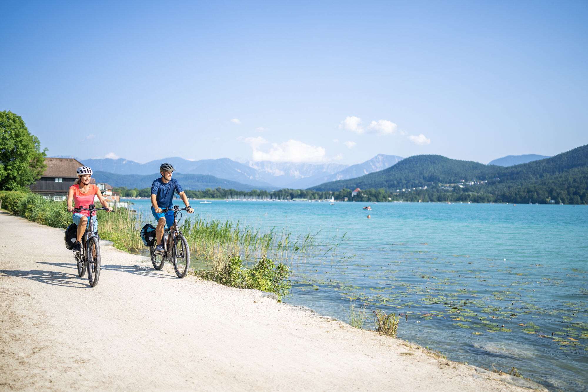
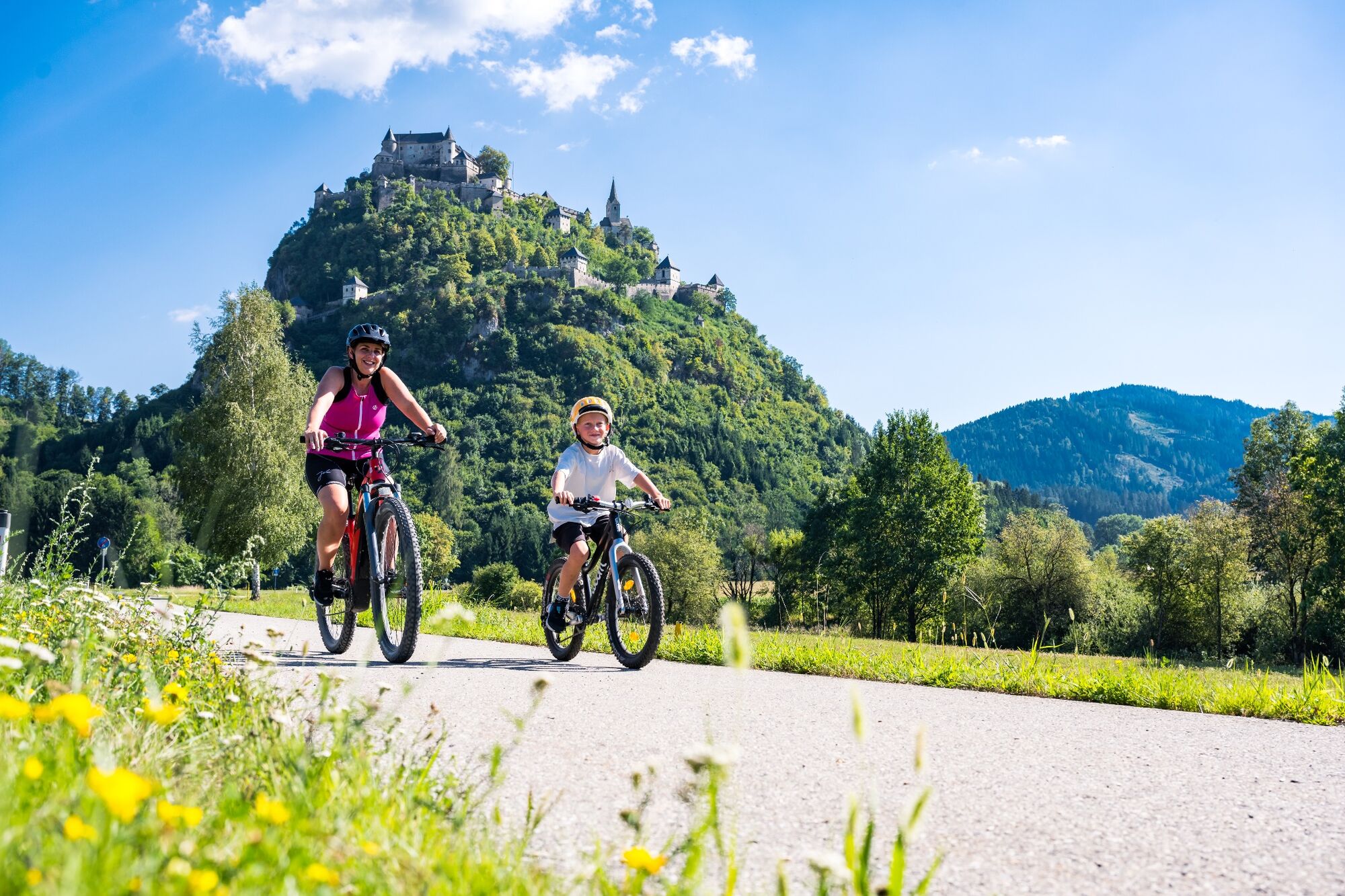
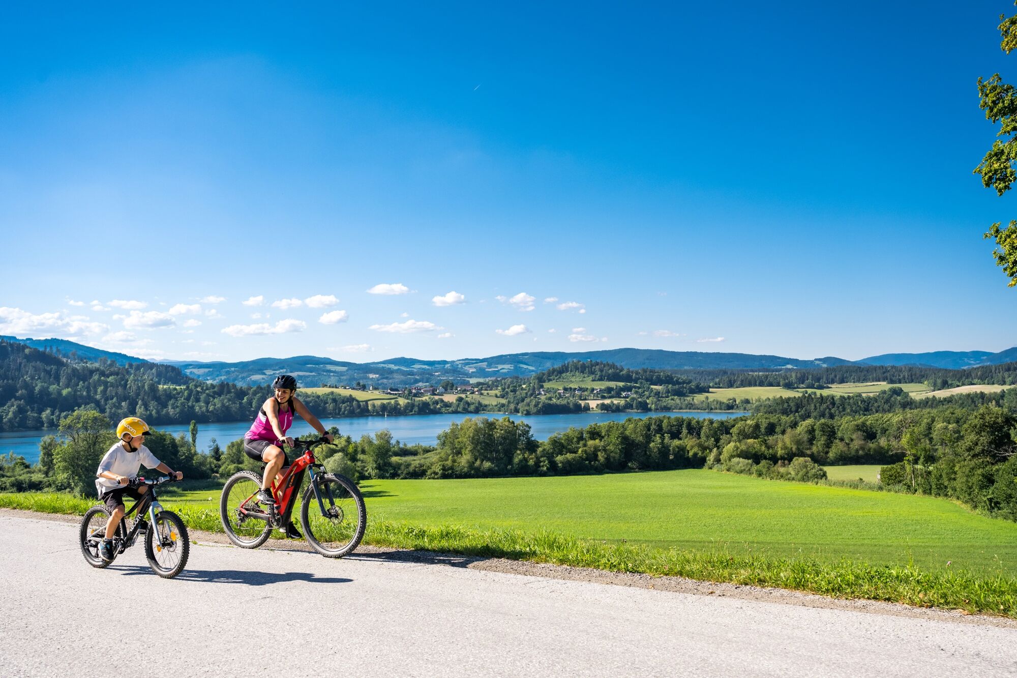
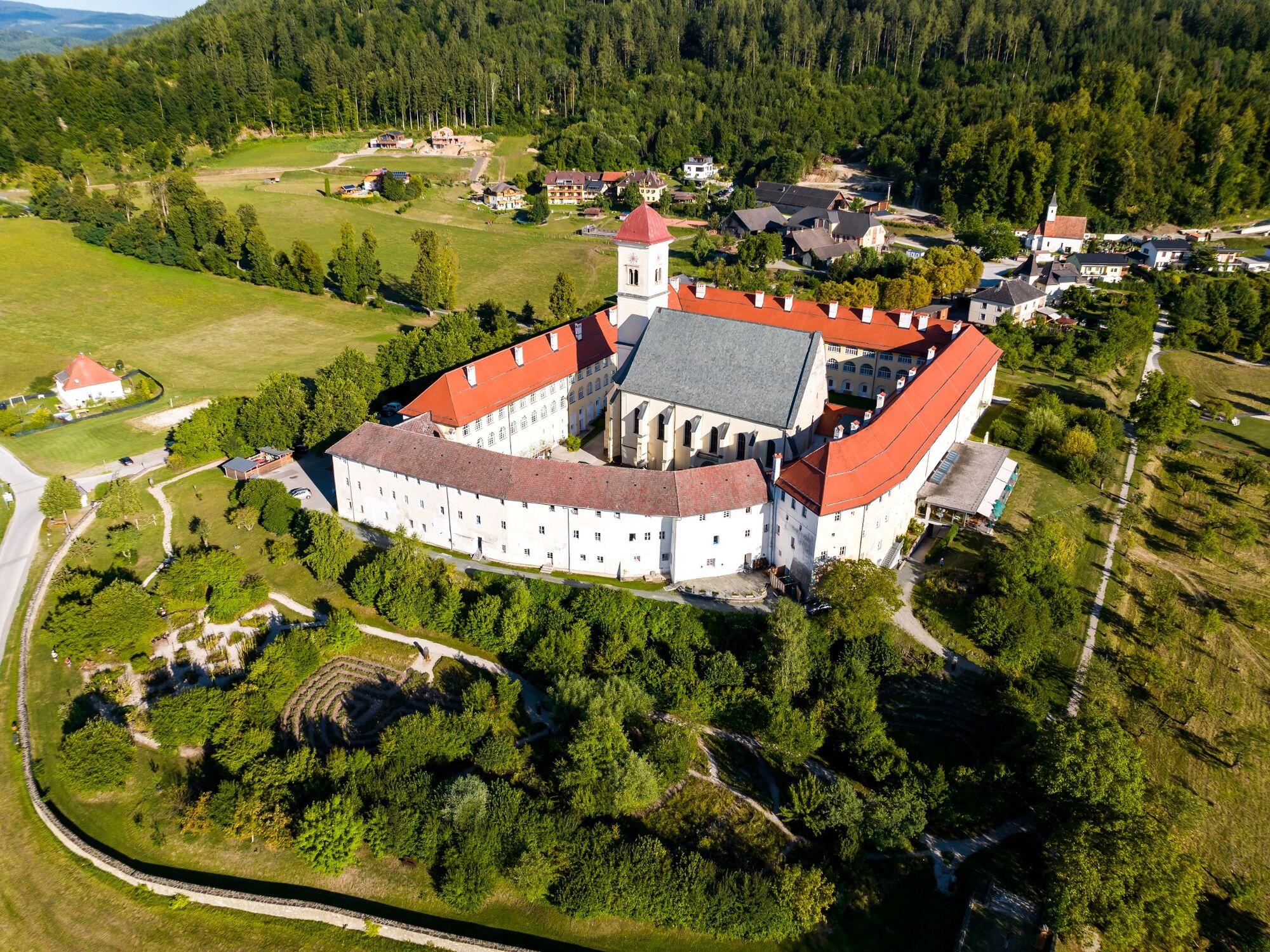
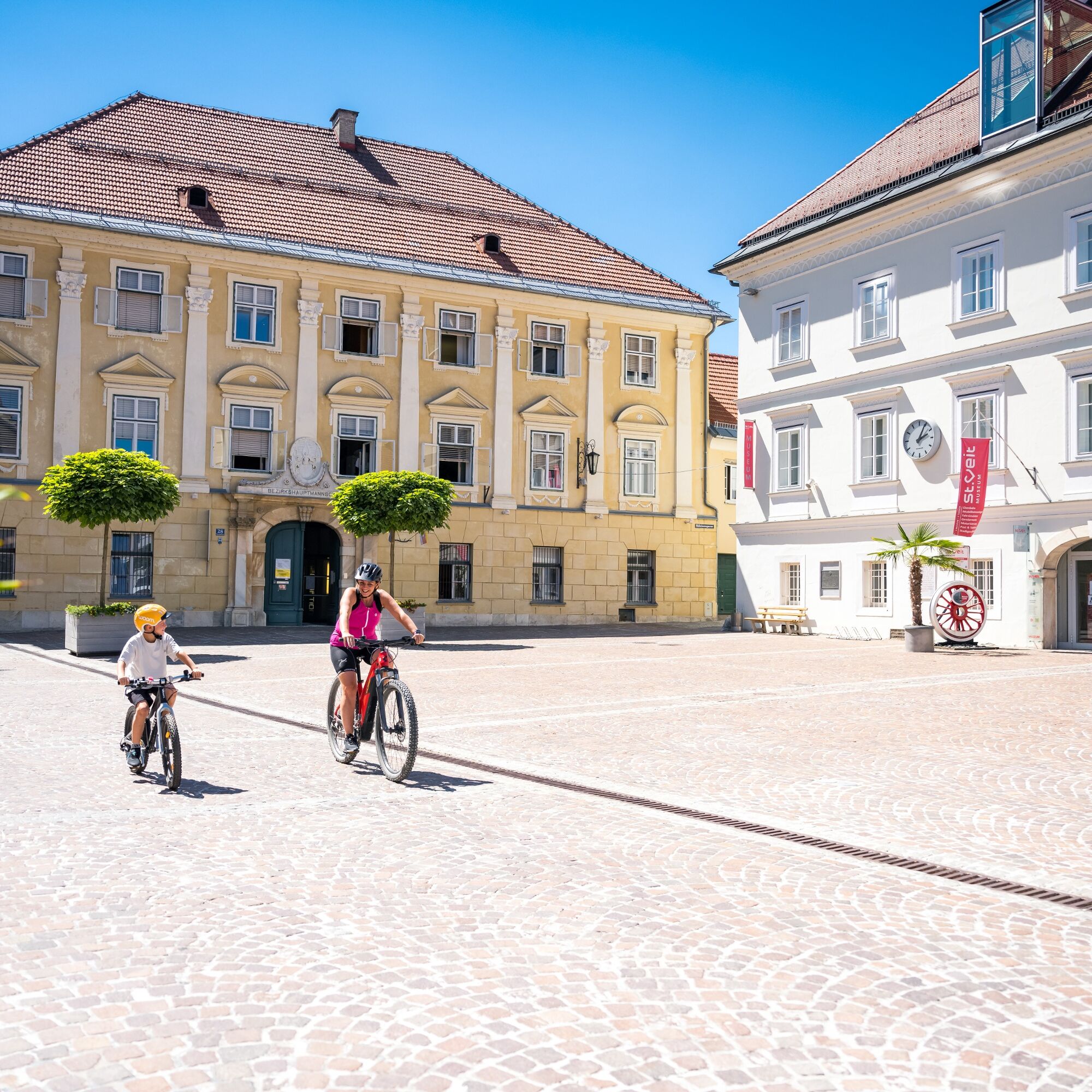
After a lovely circuit around Lake Klopeiner See, today’s stage has the River Drau in its sights. The route leads predominantly along the famous Drau cycle path, which is one of four cycle routes that was awarded the title ‘ADFC 5-star quality cycle route’ in 2016. Here you can enjoy the relaxed ride along the riverbank – past rocks, castles and reservoirs. In the Rosental hiking region, you will pass through the gunsmith town of Ferlach. In one of the many Drau loops lies the elegant Rosegg Castle with its impressive garden, maze and animal park. From here, it is just a few kilometres to stylish Velden am Wörthersee.
- Moeilijkheid
-
gemakkelijk
- Waardering
-
- Route
-
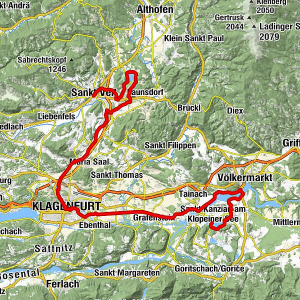
KlopeinSeelach0,0 kmSeegasthof Katschnig1,4 kmWasserhofen4,7 kmPeratschitzen6,3 kmOrtskapelle6,5 kmSankt Lorenzen7,1 kmBei der Drau11,5 kmNeudenstein15,6 kmDullach II19,1 kmAlthofen22,1 kmFroschendorf24,4 kmDer Hambrusch25,8 kmGrafenstein (418 m)26,3 kmPirk27,7 kmGradnitz34,0 kmA Jaus'n für di36,2 kmGasthof Gönitzer36,7 kmGepetto37,1 kmInnere Stadt39,7 kmKlagenfurt (446 m)39,7 kmHeiligengeistkirche39,8 kmSt. Veiter Vorstadt41,3 kmKarnburg47,6 kmKading50,7 kmAich54,6 kmAltglandorf56,7 kmUntermühlbach58,6 kmPodeblach60,9 kmReipersdorf62,0 kmGasthof Schumi62,1 kmSonnbichl62,3 kmFiming62,9 kmSankt Georgen am Längsee64,6 kmDrasendorf66,2 kmTöplach67,5 kmGasthof Schratt67,6 kmSeegasthaus69,1 kmDellach70,2 kmSankt Peter70,7 kmWirtshaus Gelter72,3 kmGoggerwenig72,4 kmSchwemm73,6 kmPfarrkirche77,5 kmSankt Veit77,6 km
- Beste seizoen
-
janfebmrtaprmeijunjulaugsepoktnovdec
- Maximale hoogte
- 595 m
- Bestemming
-
Hauptplatz St.Veit an der Glan
- Hoogteprofiel
-


-

-
AuteurDe rondleiding Lake loop 6th stage: Sankt Kanzian am Klopeiner See – Velden am Wörthersee wordt gebruikt door outdooractive.com op.
GPS Downloads


Meer rondleidingen in de regio's


