© Alpe-Adria-Trail - Roland Oberdorfer

© Community - Michael Alsters

© Alpe-Adria-Trail - Alexandra Rieger

© Alpe-Adria-Trail - Roland Oberdorfer

© Alpe-Adria-Trail - Roland Oberdorfer

© Alpe-Adria-Trail - Andreas Kleinwächter

© Alpe-Adria-Trail - Andreas Kleinwächter

© Alpe-Adria-Trail - Roland Oberdorfer

© Alpe-Adria-Trail - Andreas Kleinwächter

© Hohe Tauern Kärnten - Pension Pichlerhof

- Korte beschrijving
-
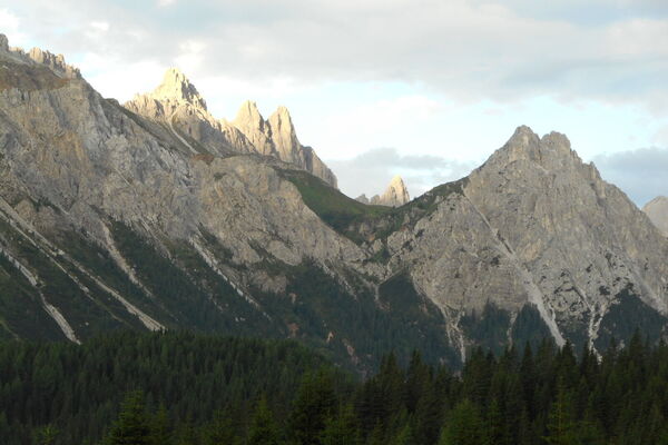
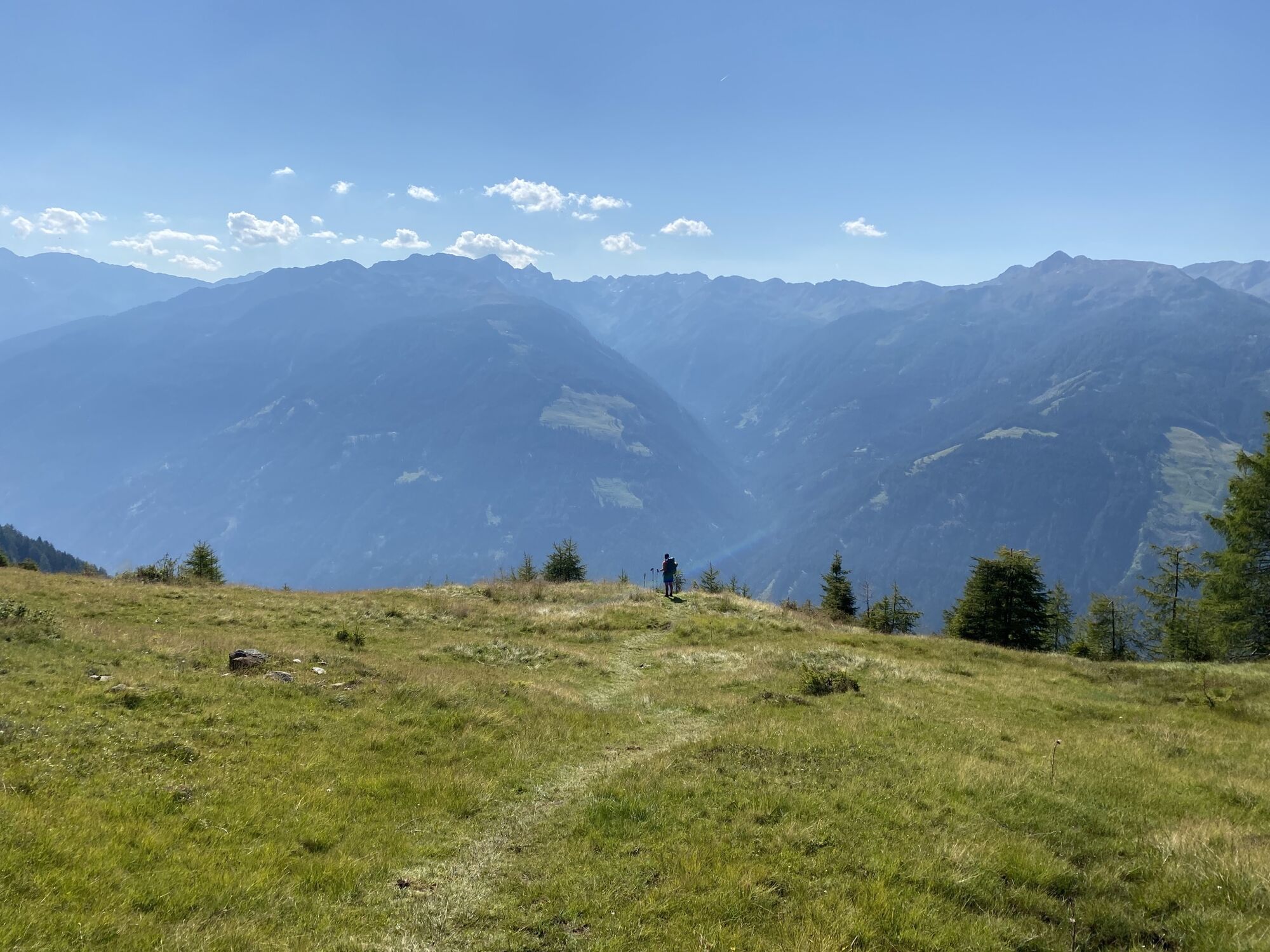
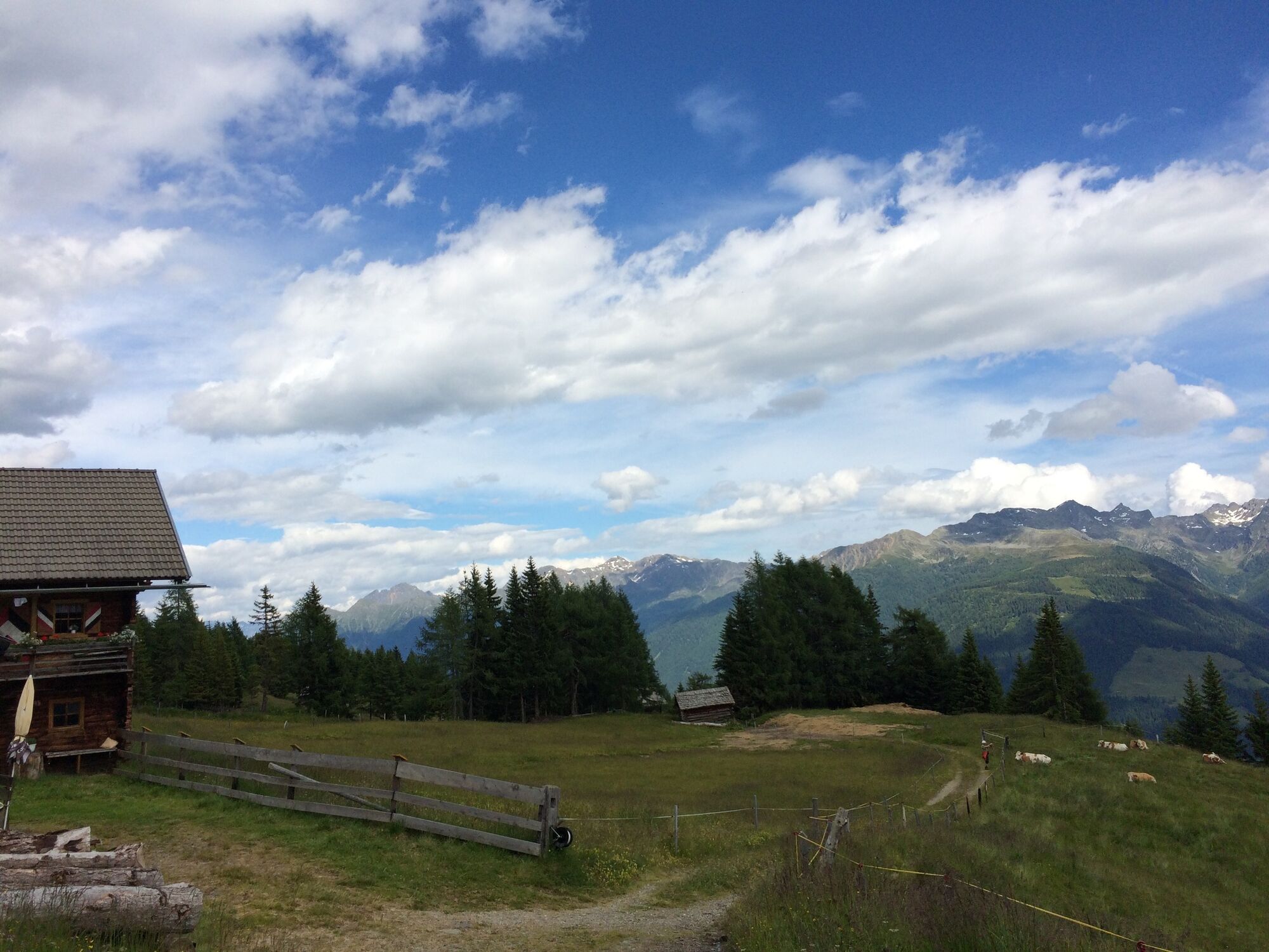
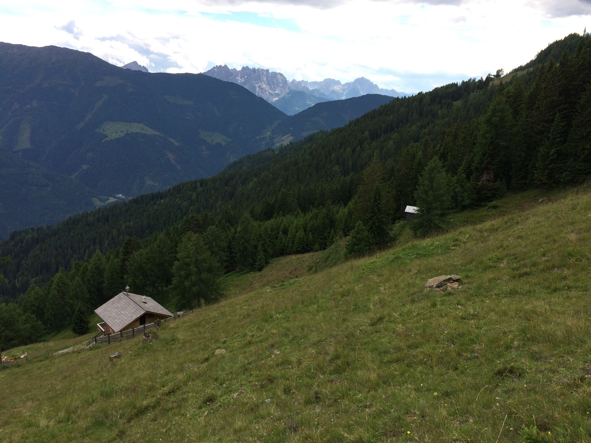
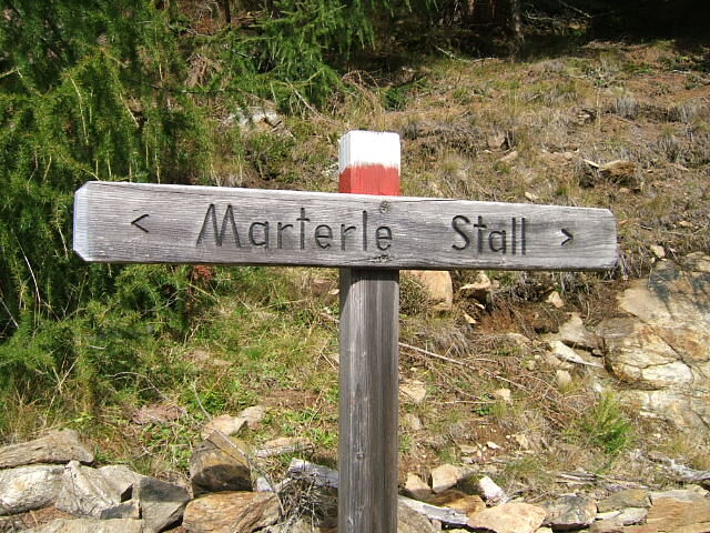
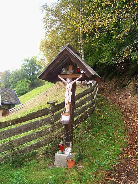
We can look forward to a largely downhill hiking tour along an old pilgrimage path: from the “Marterle” we walk across romantic alpine pastures and through cool forests directly to Stall im Mölltal. The route takes us partly on forest roads, but mostly on old footpaths through the forests down to Stall.
- Moeilijkheid
-
gemakkelijk
- Waardering
-
- Route
-
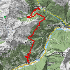
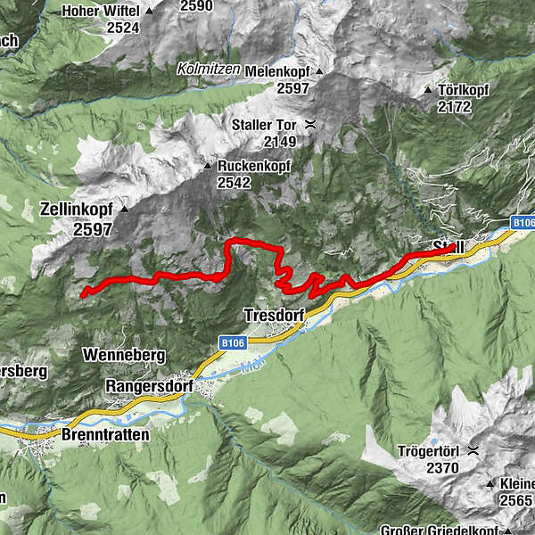
MarterleRosenbergalm2,9 kmSchwersberg6,1 kmLatzendorf10,1 kmStall11,6 km
- Beste seizoen
-
janfebmrtaprmeijunjulaugsepoktnovdec
- Maximale hoogte
- 1.835 m
- Bestemming
-
Stall im Mölltal
- Hoogteprofiel
-


- Auteur
-
De rondleiding ST04 AAT: Marterle - Stall wordt gebruikt door outdooractive.com op.
GPS Downloads


Algemene info
Cultureel/Historisch
Veelbelovend
Meer rondleidingen in de regio's