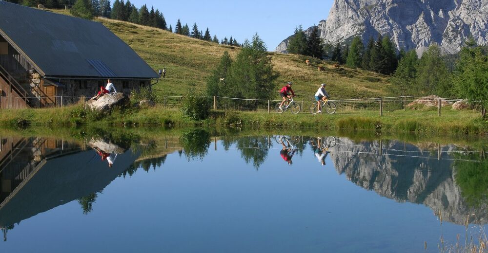
© Nassfeld - Pressegger See - Gerald Köstl
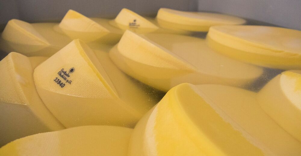
© Nassfeld - Pressegger See - Franz Gerdl
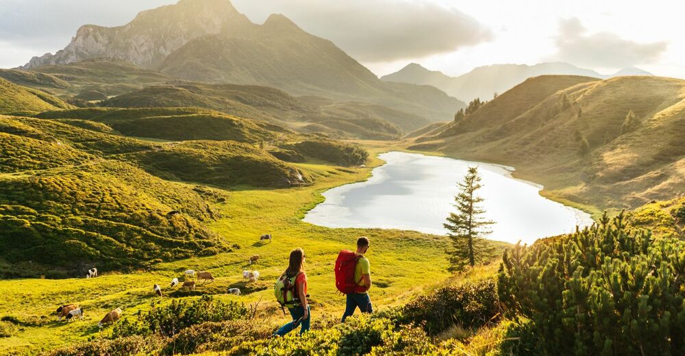
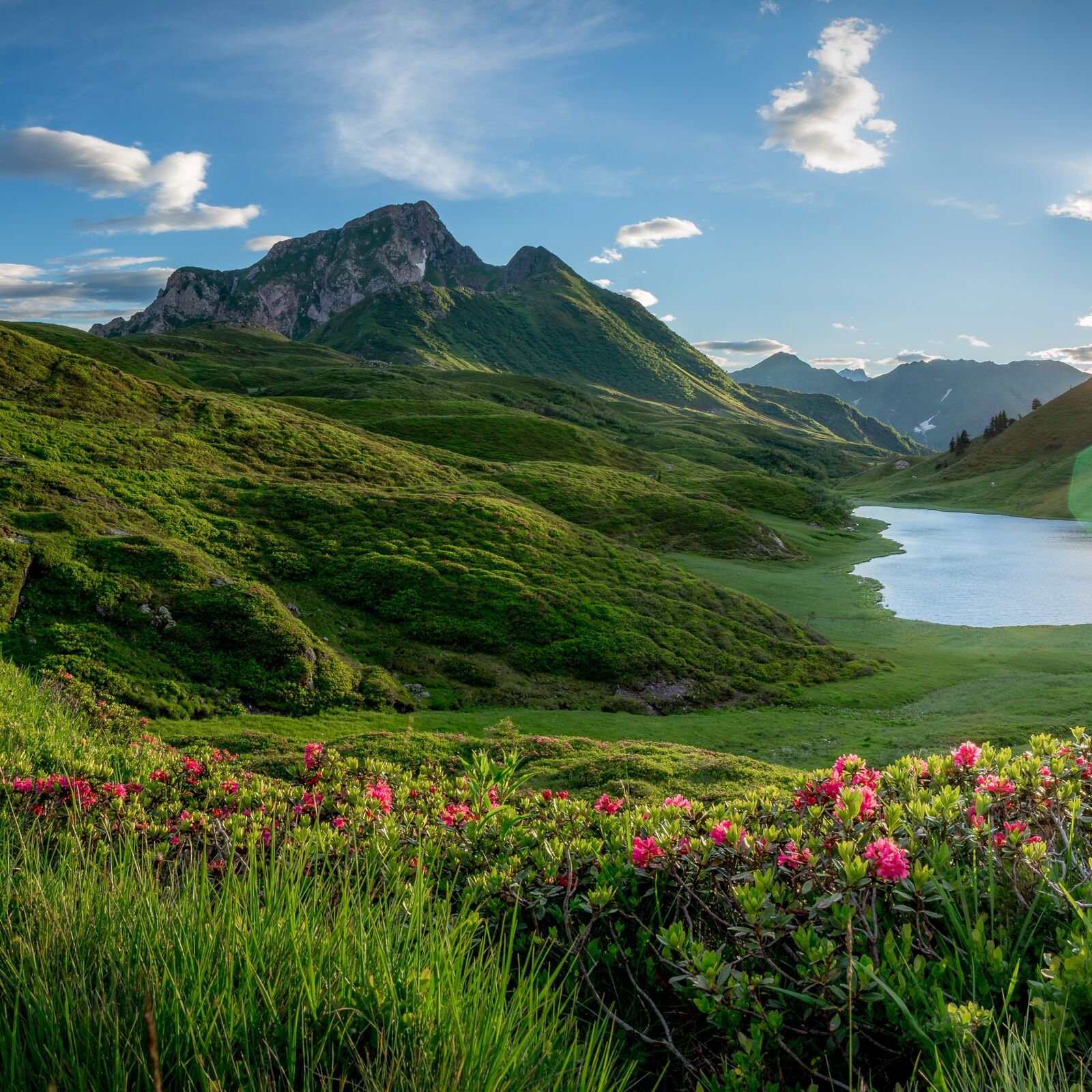
© www.nassfeld.at - Nassfeld - Pressegger See


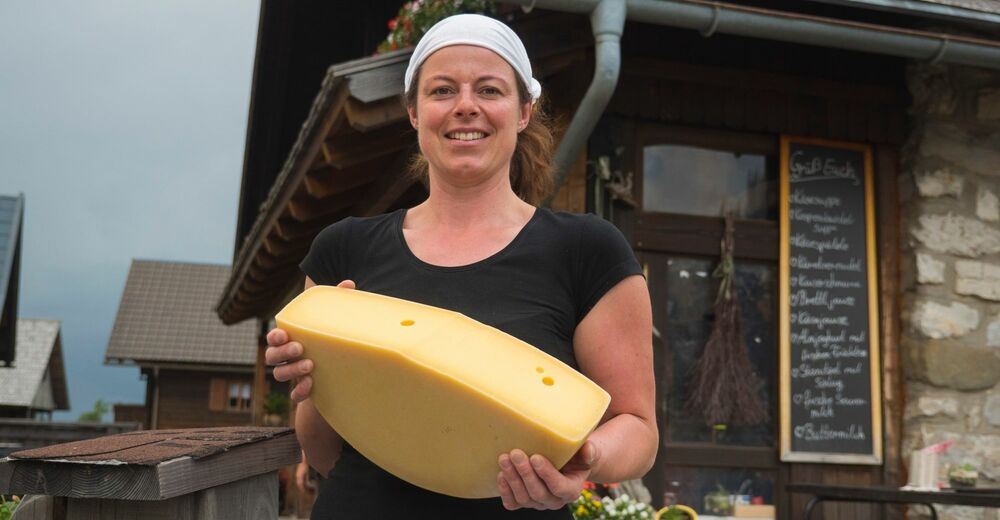
© Slow Food Travel - Nassfeld - Pressegger See
© Nassfeld - Pressegger See - Fabio Tabacchi
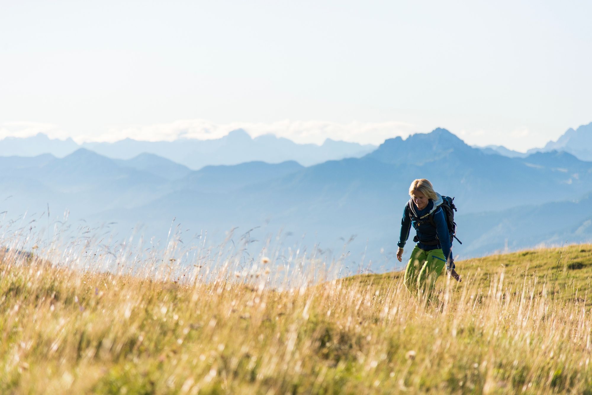
© Nassfeld - Pressegger See - Daniel Gollner

© www.nassfeld.at - Nassfeld - Pressegger See
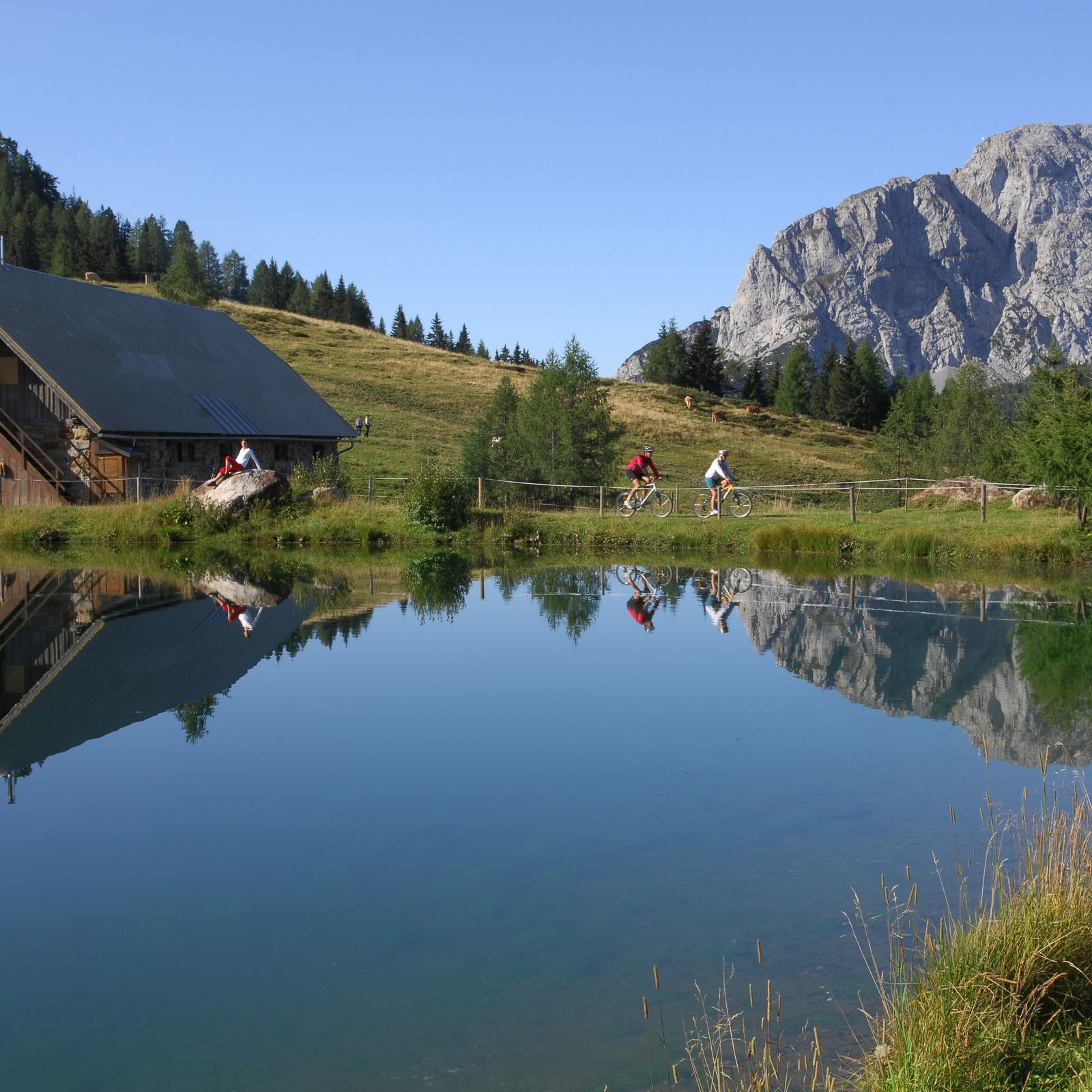
© Nassfeld - Pressegger See - Fabio Tabacchi

- Korte beschrijving
-
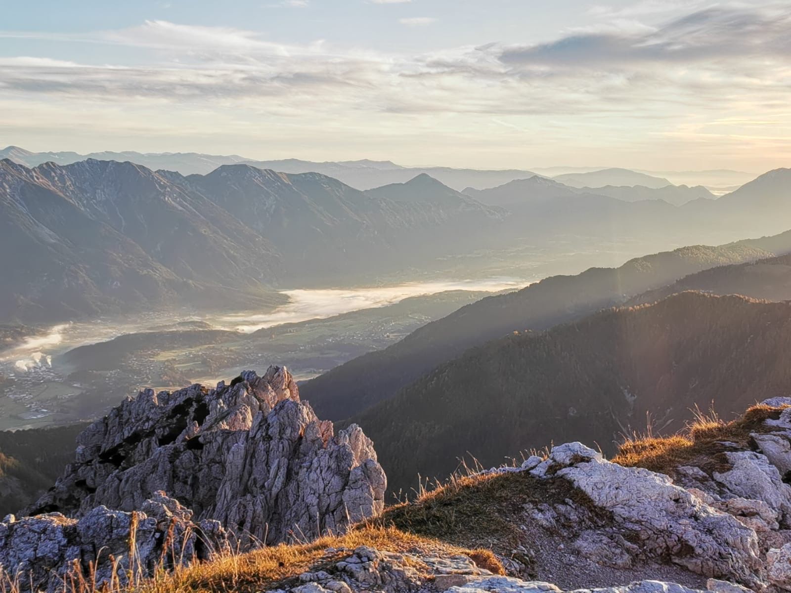
"The Carnic Milky Way" as the best of the Carnic Highway and the Constellation Hikes is "Hiking in New Dimensions".
- Moeilijkheid
-
medium
- Waardering
-
- Route
-
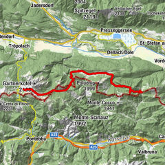
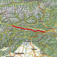
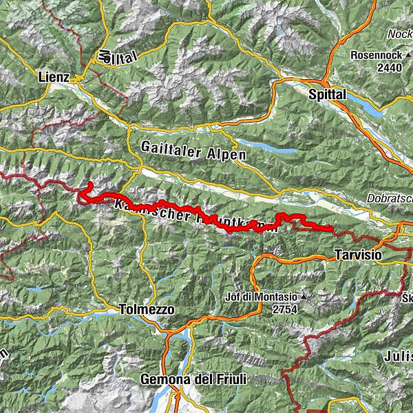
Feistritzer AlmDolinza Alm (1.499 m)2,2 kmWirtshaus Starhand2,2 kmRudi`s Skihütte15,0 kmEgger Alm15,0 kmAlmgasthaus "Zur Alten Käserei"15,0 kmGarnitzenalm (1.640 m)24,0 kmGartnerkofel (2.195 m)26,9 kmWatschigerAlm29,1 kmPlattner29,5 kmSchwefelquelle30,1 kmRudnik-Sattel35,7 kmRattendorfer Alm40,6 kmGrotta di Attila43,0 kmStraniger Alm50,5 kmHöhenlager Straniger Alm (1915-1917)51,2 kmLodintörl (1.871 m)53,2 kmFindenigkofel (2.016 m)53,9 kmZollnersee Hütte57,0 kmCasera Promosio Alta64,6 kmCasera Pal Grande di Sopra67,3 kmGasthof Plöckenhaus73,1 kmTheresienhöhe74,1 kmAlmgasthof Valentinalm (1.220 m)75,7 kmWolayerseehütte81,4 kmBimbaumer Törl (2.080 m)81,6 kmHubertuskapelle88,2 km
- Beste seizoen
-
janfebmrtaprmeijunjulaugsepoktnovdec
- Maximale hoogte
- 2.174 m
- Bestemming
-
Hubertuskapelle
- Hoogteprofiel
-


- Auteur
-
De rondleiding Die Karnische Milchstraße wordt gebruikt door outdooractive.com op.
GPS Downloads


Algemene info
Verfrissingsstop
Cultureel/Historisch
Flora
Fauna
Veelbelovend
Meer rondleidingen in de regio's