Die Karnische Milchstraße - ET06 Untere Valentinalm - Hubertuskapelle bei Birnbaum

© Profer & Partner - Nassfeld - Pressegger See

© www.nassfeld.at - Nassfeld - Pressegger See

© Nassfeld - Pressegger See - Daniel Gollner

- Korte beschrijving
-
"The Carnic Milky Way" as the best of the Carnic Highway and the Constellation Hikes is "Hiking in New Dimensions".
- Moeilijkheid
-
medium
- Waardering
-
- Route
-
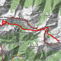
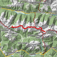
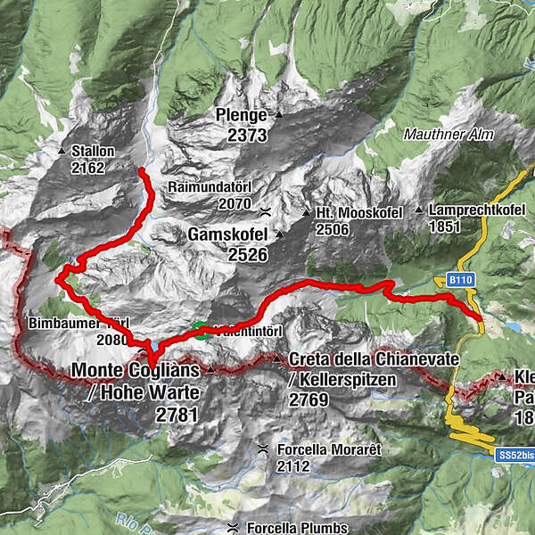
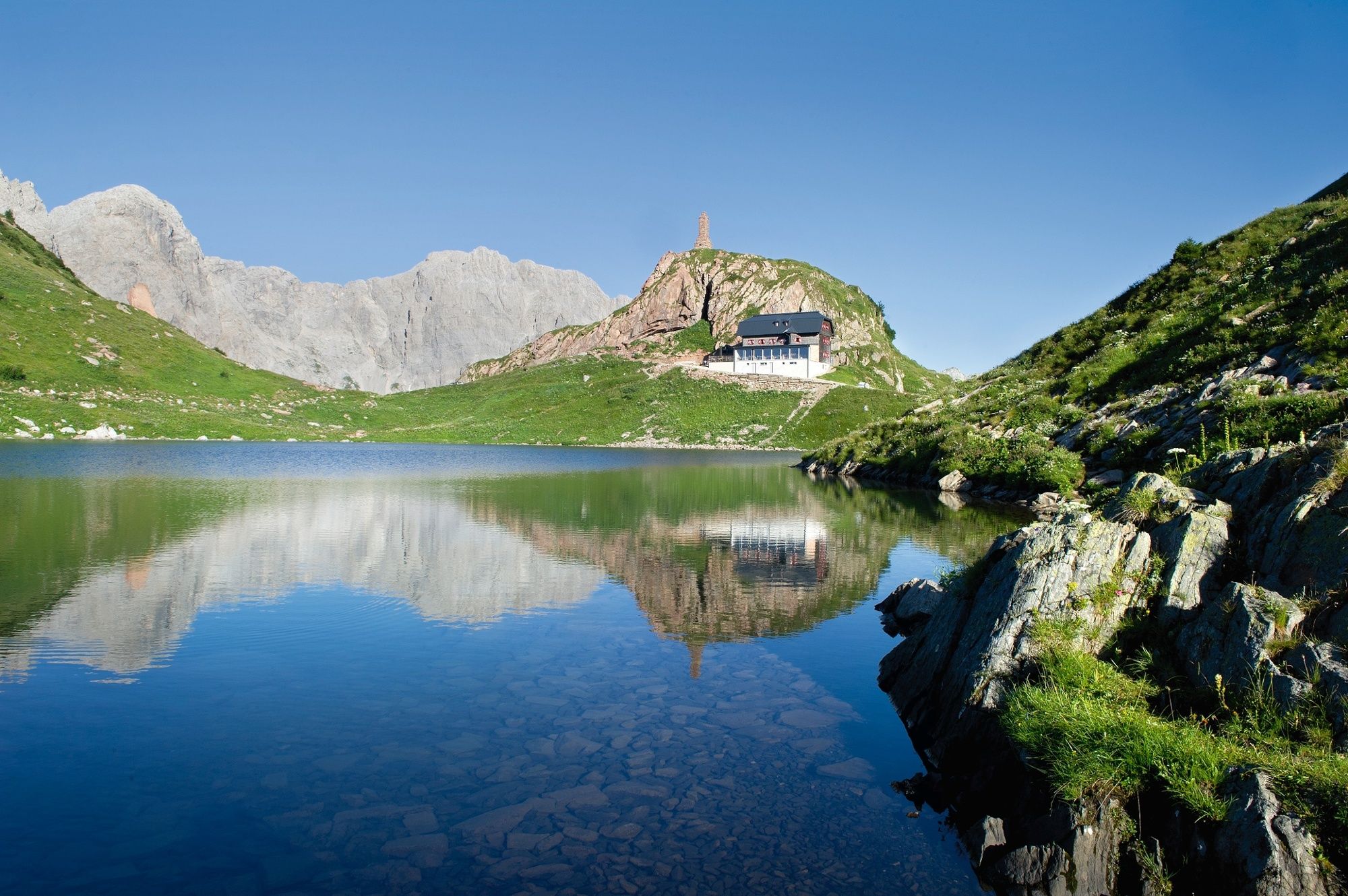
Gasthof Plöckenhaus0,0 kmTheresienhöhe0,9 kmAlmgasthof Valentinalm (1.220 m)2,5 kmWolayer Pass (1.973 m)8,7 kmRifugio Lambertenghi Romanin8,8 kmKriegerdenkmal8,9 kmWolayerseehütte9,4 kmBimbaumer Törl (2.080 m)9,5 kmHubertuskapelle16,2 km
- Beste seizoen
-
janfebmrtaprmeijunjulaugsepoktnovdec
- Maximale hoogte
- 2.133 m
- Bestemming
-
Hubertus Kapelle
- Hoogteprofiel
-


- Auteur
-
De rondleiding Die Karnische Milchstraße - ET06 Untere Valentinalm - Hubertuskapelle bei Birnbaum wordt gebruikt door outdooractive.com op.
GPS Downloads


Algemene info
Verfrissingsstop
Cultureel/Historisch
Flora
Fauna
Veelbelovend
Meer rondleidingen in de regio's