
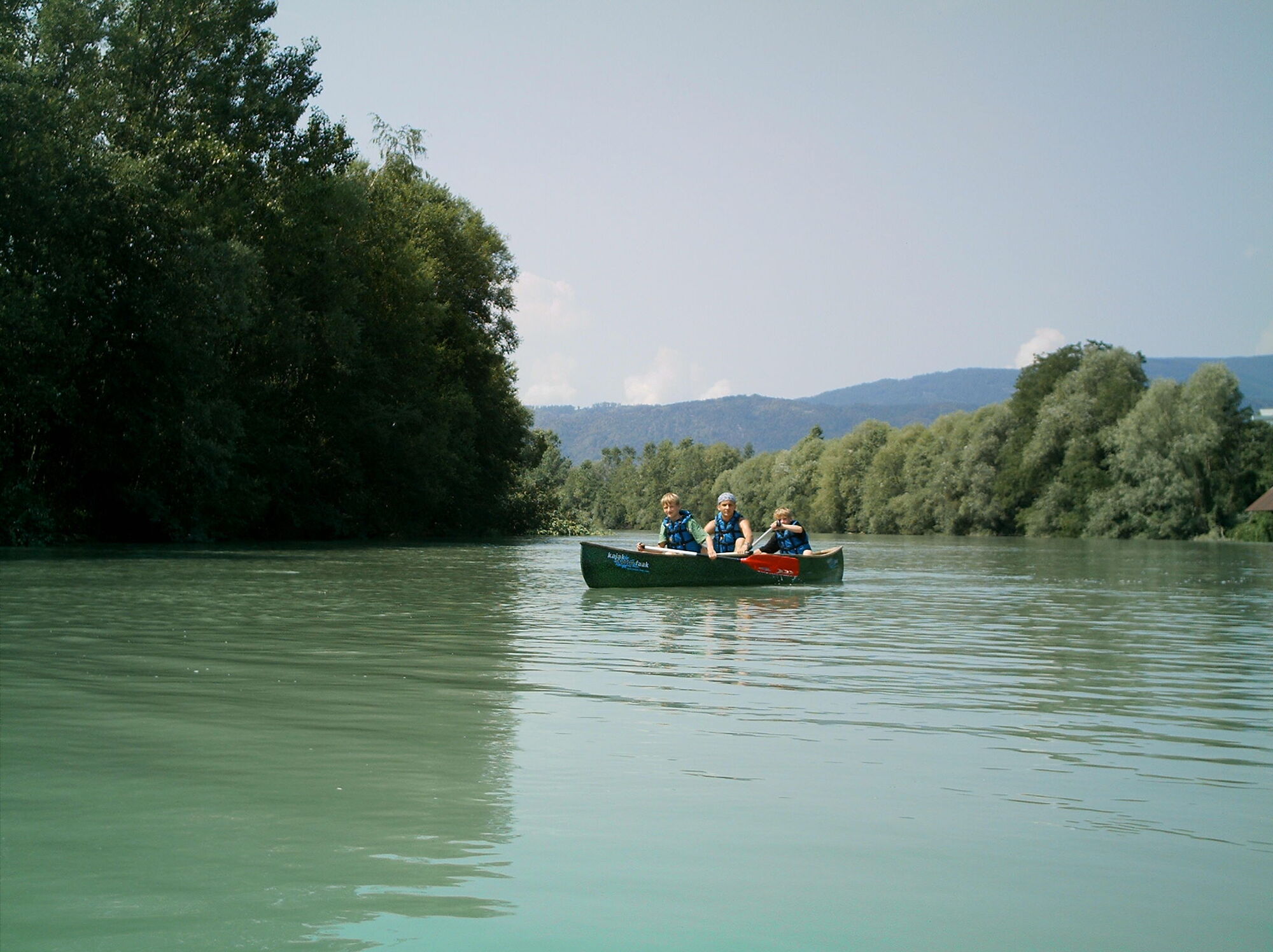
© Kajak Center Faaker See - Region Villach
© Region Villach - Faaker See - Ossiacher See - Anita Arneitz

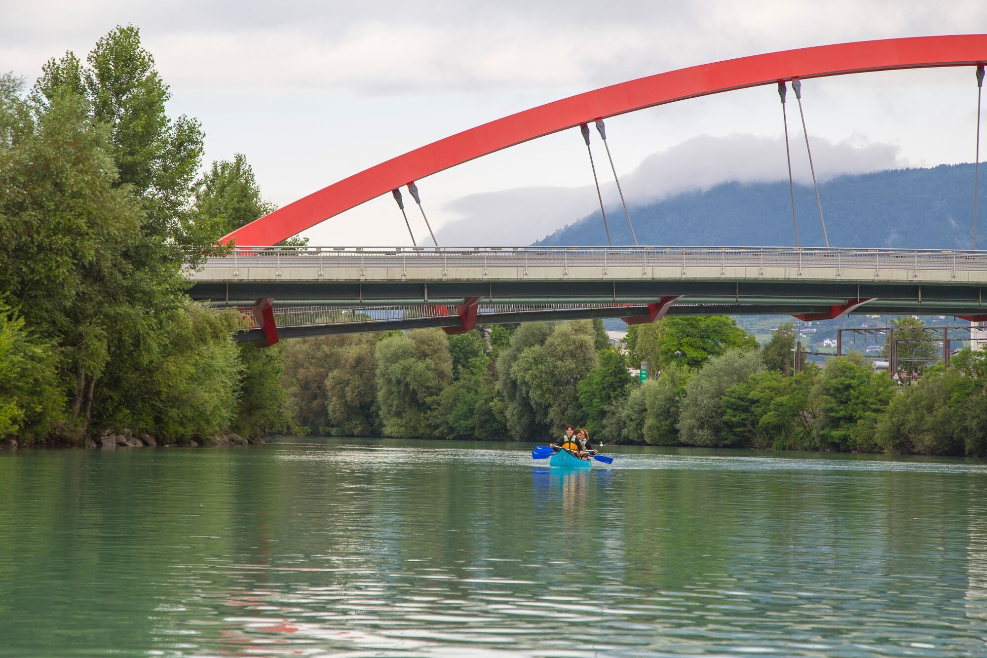
© Region Villach - Faaker See - Ossiacher See - Region Villach

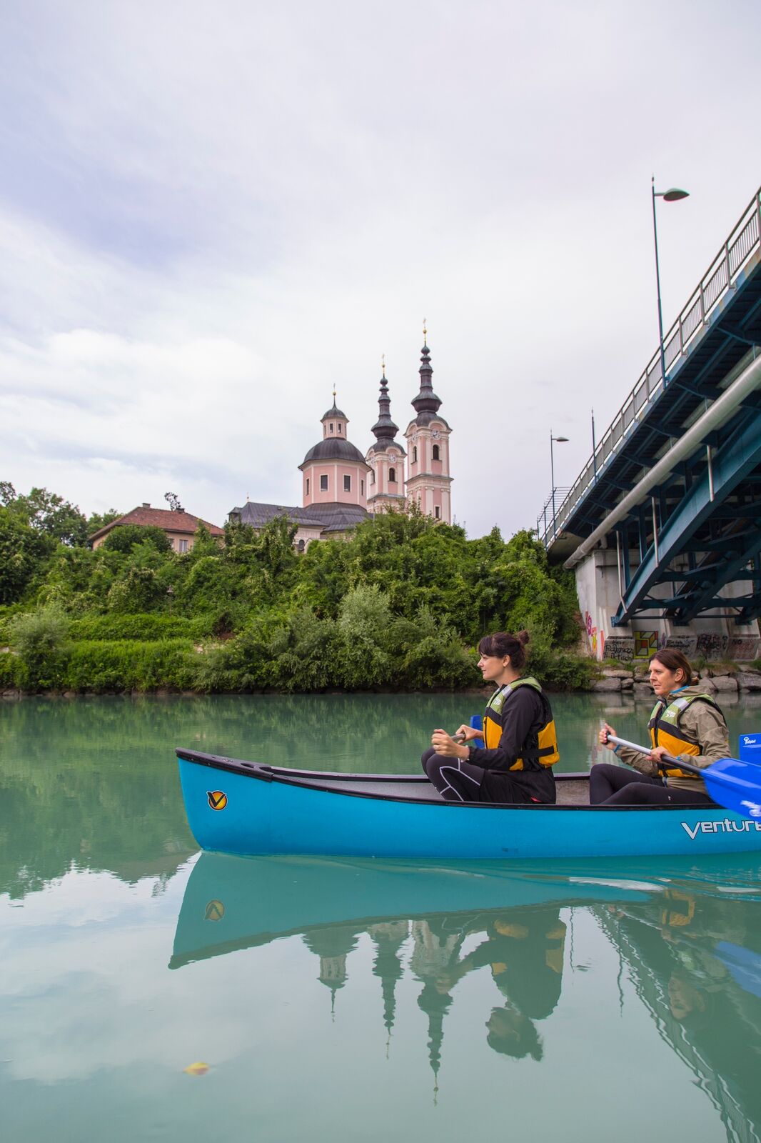
© Region Villach - Faaker See - Ossiacher See - Anita Arneitz

© Kajak Center Faaker See - Region Villach

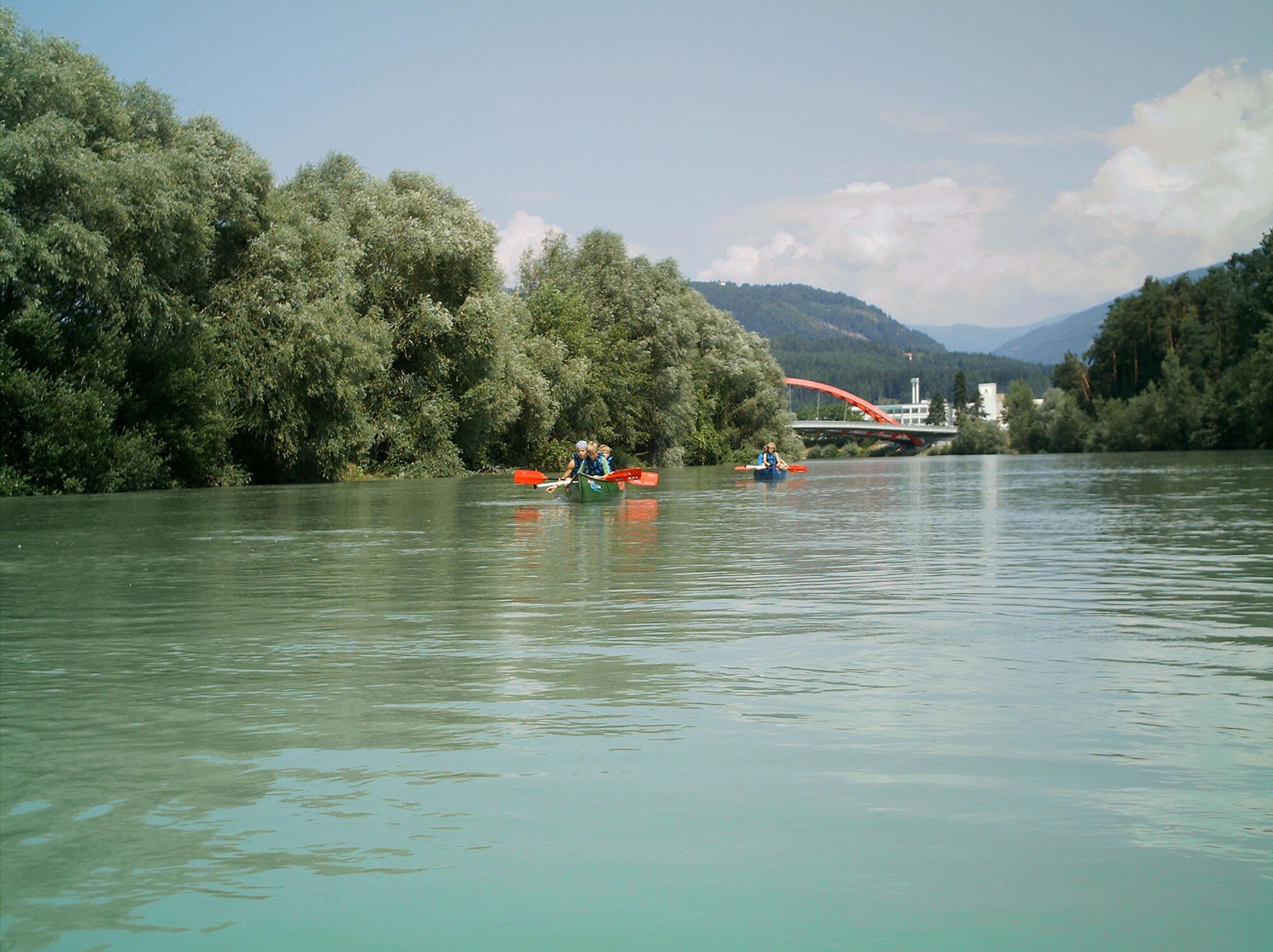
© Region Villach - Faaker See - Ossiacher See - Anita Arneitz
© Region Villach - Faaker See - Ossiacher See - Region Villach
© Region Villach - Faaker See - Ossiacher See - Region Villach


- Korte beschrijving
-
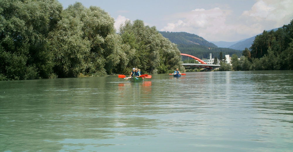
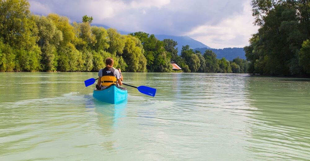
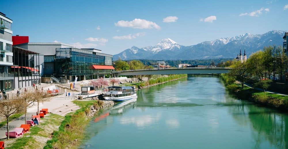
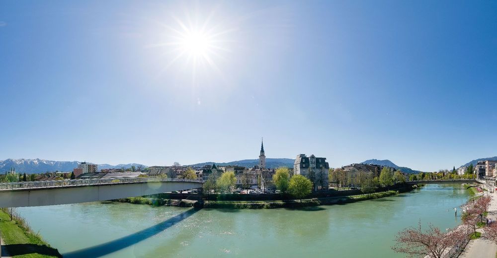
With the canoe we go over the cozy Drau through the unmistakable Draustadt Villach up to the harmonious flat water biotope Föderlach.
- Moeilijkheid
-
gemakkelijk
- Waardering
-
- Route
-
Innere Stadt2,0 kmVillach (501 m)2,4 kmSt. Agathen4,8 kmGailspitz6,3 kmGottestal10,5 kmDragnitz11,2 kmSankt Niklas11,3 kmGraschitz11,9 km
- Beste seizoen
-
janfebmrtaprmeijunjulaugsepoktnovdec
- Maximale hoogte
- 485 m
- Bestemming
-
District Drau/Rosegg
- Hoogteprofiel
-


- Auteur
-
De rondleiding Drau Paddle Path wordt gebruikt door outdooractive.com op.
GPS Downloads


Algemene info
Flora
Fauna
Veelbelovend
Meer rondleidingen in de regio's