
- Moeilijkheid
-
medium
- Waardering
-
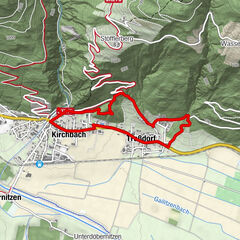
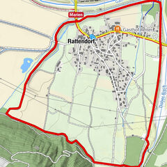
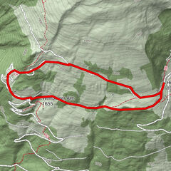
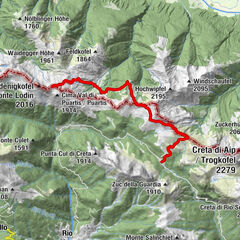
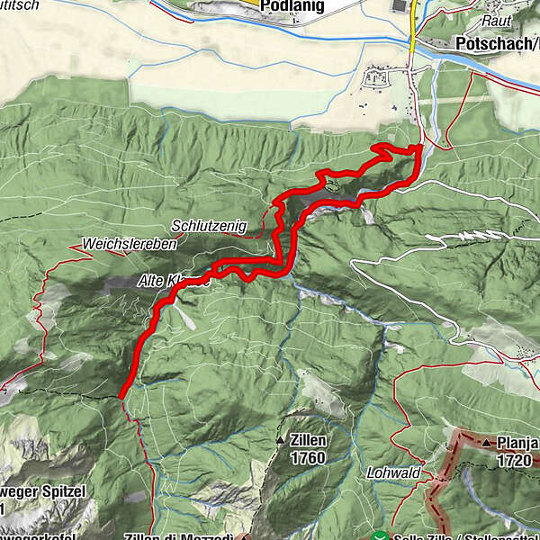
- Route
-
Ida Warte0,9 kmFranzenswarte1,1 kmKlammwirt10,2 km
- Beste seizoen
-
janfebmrtaprmeijunjulaugsepoktnovdec
- Maximale hoogte
- 1.186 m
- Hoogteprofiel
-


- Auteur
-
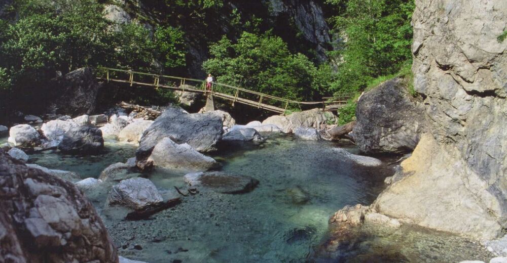
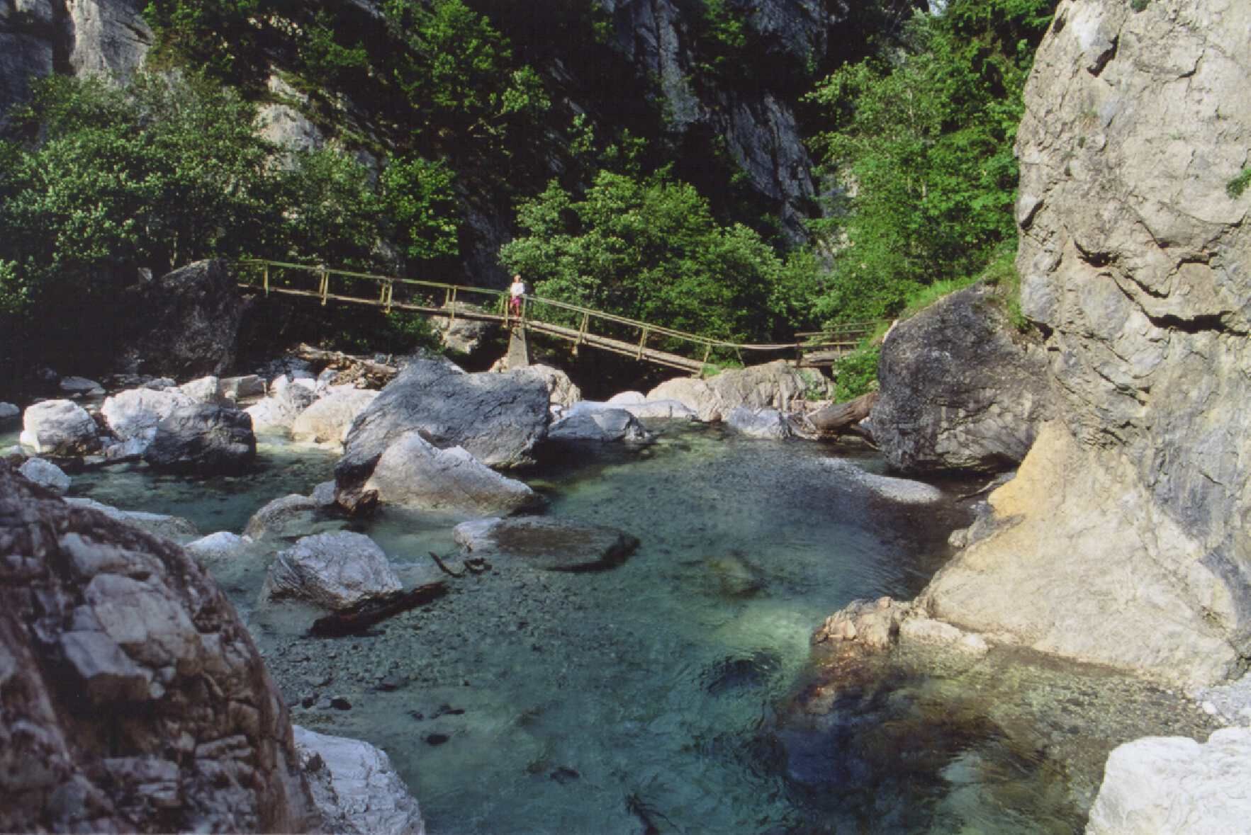
De rondleiding Hiking Tour through the Garnitzenklamm Gorge wordt gebruikt door outdooractive.com op.
GPS Downloads


Algemene info
Verfrissingsstop
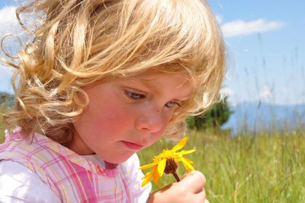
Flora
Meer rondleidingen in de regio's