© MBN Tourismusmanagement GmbH - Millstätter See - Bad Kleinkirchheim - Nockberge Tourismusmanagement GmbH


- Moeilijkheid
-
gemakkelijk
- Waardering
-
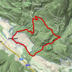
- Route
-
LendorfLendorf6,0 km
- Beste seizoen
-
janfebmrtaprmeijunjulaugsepoktnovdec
- Maximale hoogte
- 795 m
- Bestemming
-
Gasthof Trattler (584 m), Lendorf
- Hoogteprofiel
-


- Auteur
-
De rondleiding The magic flower of Lendorf wordt gebruikt door outdooractive.com op.
GPS Downloads


Algemene info
Verfrissingsstop
Cultureel/Historisch
Tip voor insiders
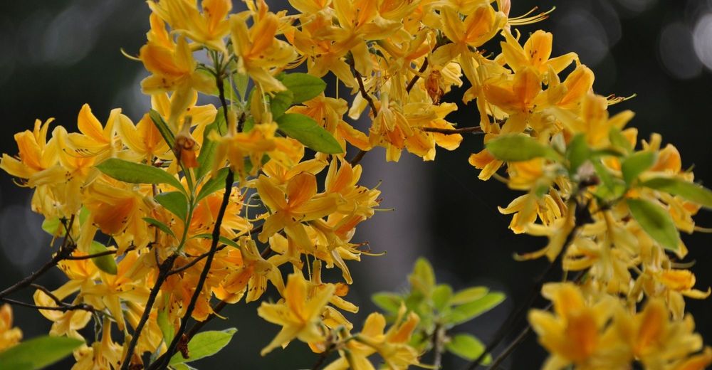
Flora
Veelbelovend
Meer rondleidingen in de regio's
-
Katschberg Lieser-Maltatal
2572
-
Millstätter See
1052
-
Lendorf
201