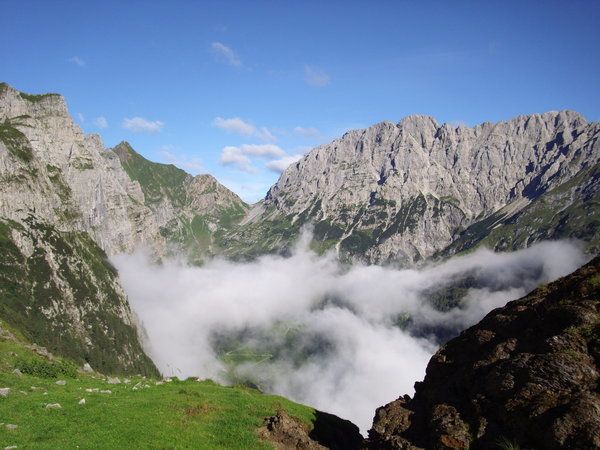
© Rudolf Aichholzer - Tourismusinfo Nassfeld-Pressegger See

- Moeilijkheid
-
zwaar
- Waardering
-
- Route
-
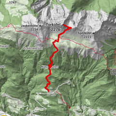
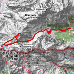
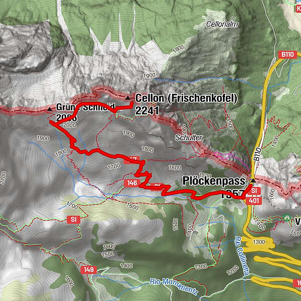
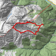
Grüne Schneid (2.086 m)2,9 km
- Beste seizoen
-
janfebmrtaprmeijunjulaugsepoktnovdec
- Maximale hoogte
- 2.195 m
- Bestemming
-
Cellon
- Auteur
-
De rondleiding Cellon wordt gebruikt door outdooractive.com op.
GPS Downloads


Algemene info
Cultureel/Historisch
Veelbelovend
Meer rondleidingen in de regio's

")