Via Dinarica HR-W-02 Tršće - Sveta gora - izvor Kupe - Crni Lug

Wandelen
© Terra Dinarica - Jasna Kosović
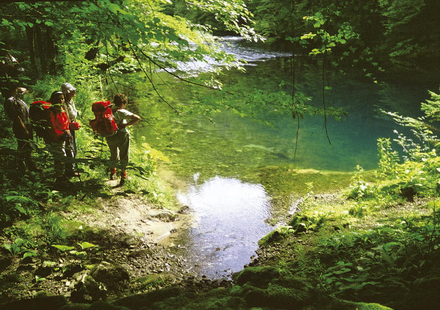
© Terra Dinarica - Alan Čaplar
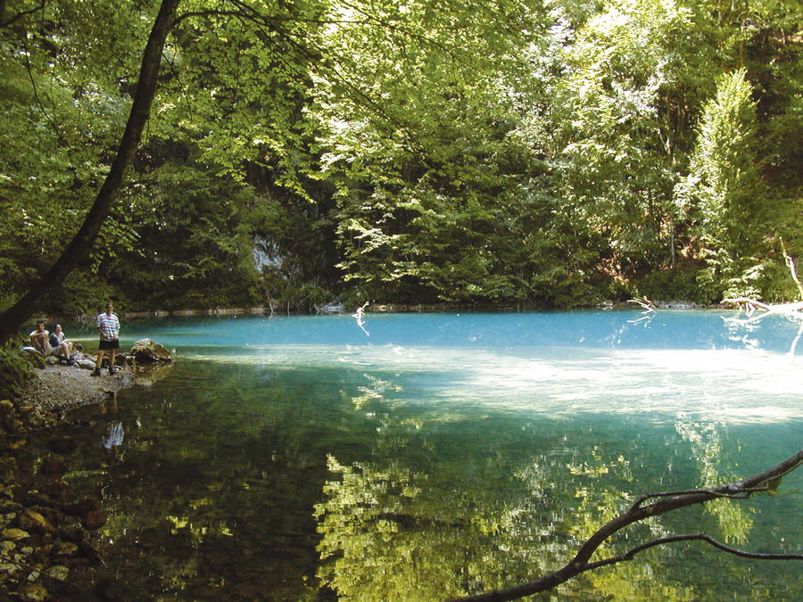
© Terra Dinarica - Mario Žuti
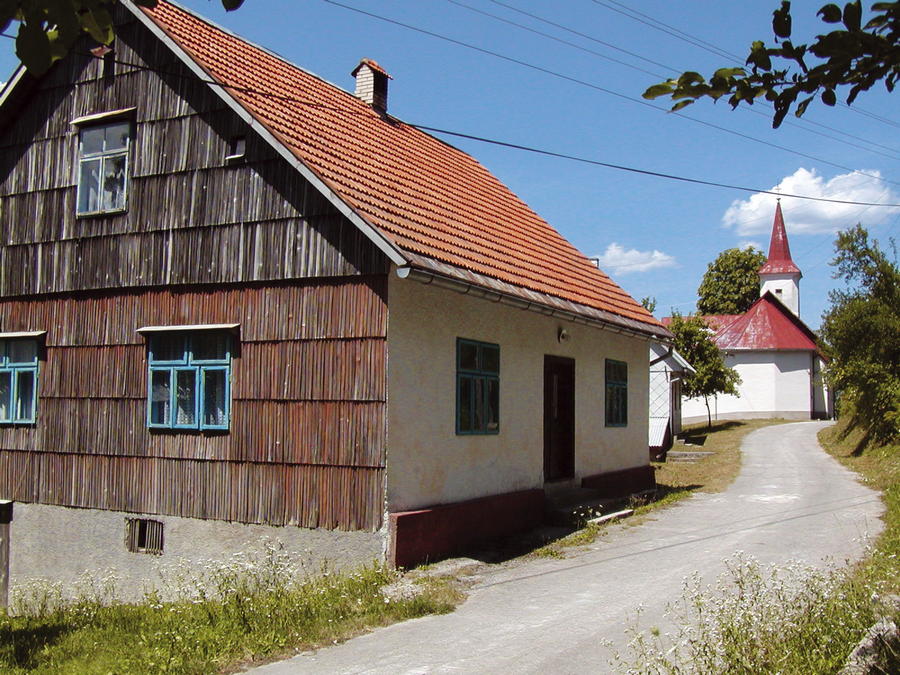
© Terra Dinarica - Jasminka Radojčić
© Terra Dinarica - Mario Žuti
© Terra Dinarica - Alan Čaplar


- Korte beschrijving
-
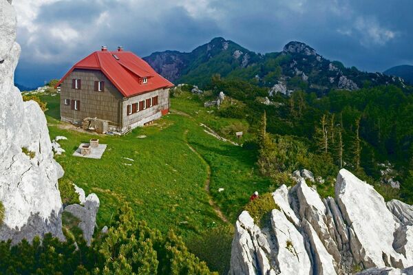
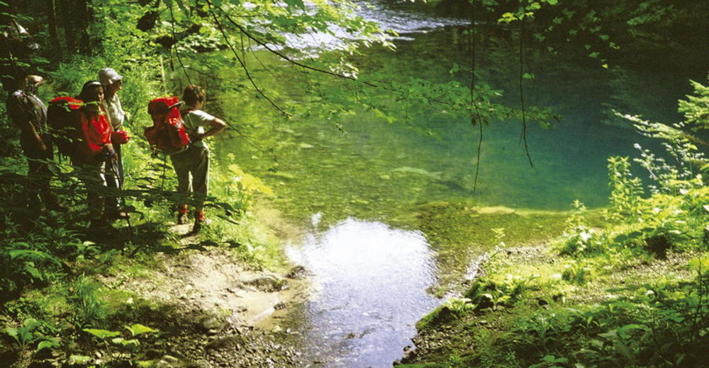
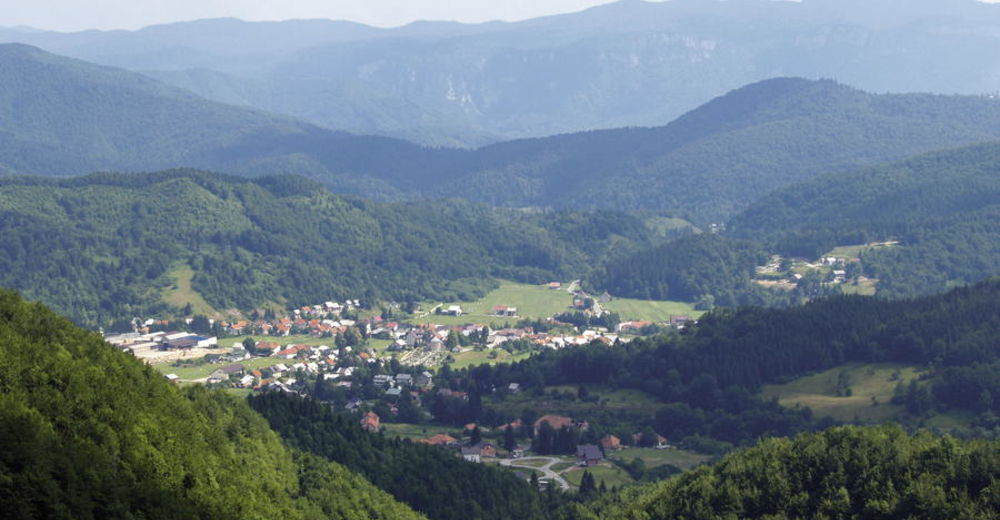
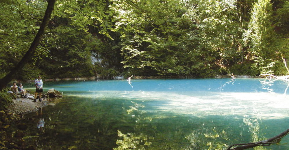
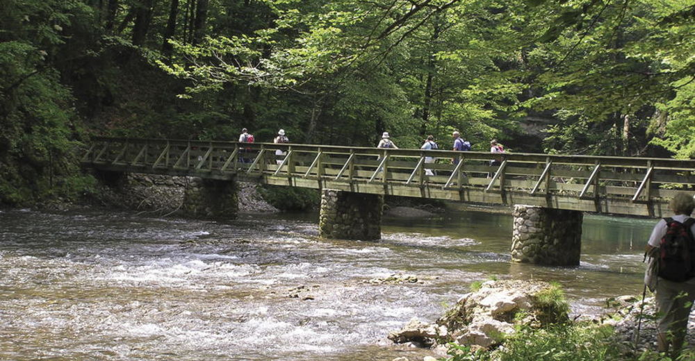
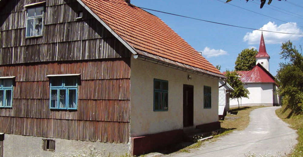
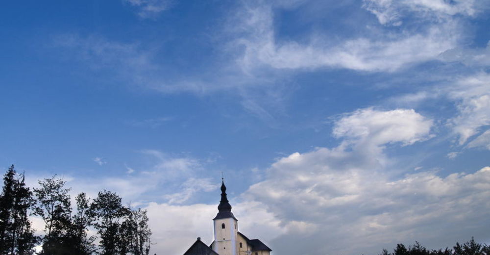
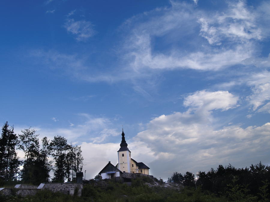
In the area from Tršće to Risnjak National Park, Via Dinarica follows the route of Gorski Kotar Hiking Trail. The trail is well kept and maintained. From Tršće, we first need to climb to the village of Kraljev Vrh by road. From there, we then continue by following the hiking trail markings towards the south and towards the hill of Sveta gora with a church.
- Moeilijkheid
-
medium
- Waardering
-
- Route
-
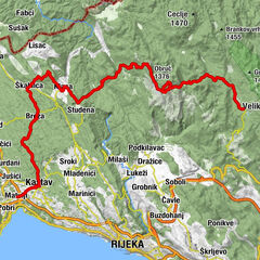
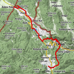
Frbežaricrkva svetog Andrije0,5 kmTršće0,5 kmKraljev Vrh2,2 kmSvetište Majke Božje Svetogorske7,0 kmCrkva Male Gospe7,0 kmHrib10,0 kmPodgrič11,6 kmIzvor Kupe (321 m)15,1 km
- Beste seizoen
-
janfebmrtaprmeijunjulaugsepoktnovdec
- Maximale hoogte
- 939 m
- Bestemming
-
Crni Lug
- Hoogteprofiel
-
 © outdooractive.com


-

-
AuteurDe rondleiding Via Dinarica HR-W-02 Tršće - Sveta gora - izvor Kupe - Crni Lug wordt gebruikt door outdooractive.com op.
GPS Downloads


Meer rondleidingen in de regio's
-
Gorski kotar
28
-
Čabar
7