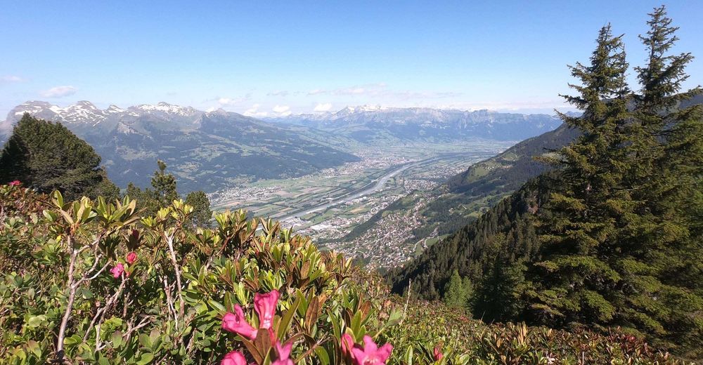
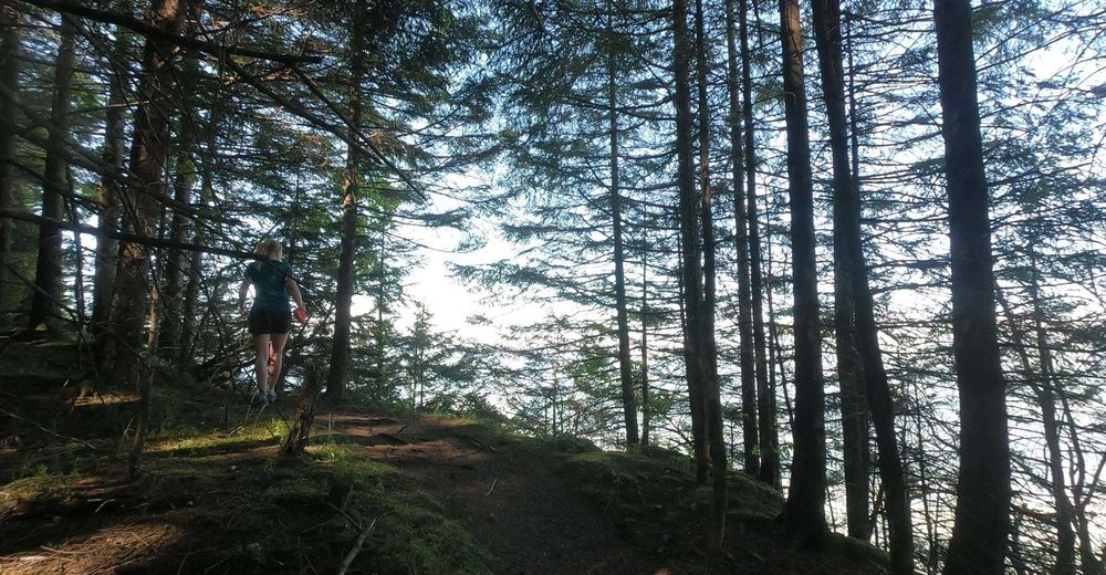
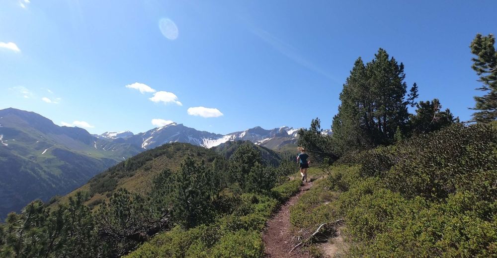
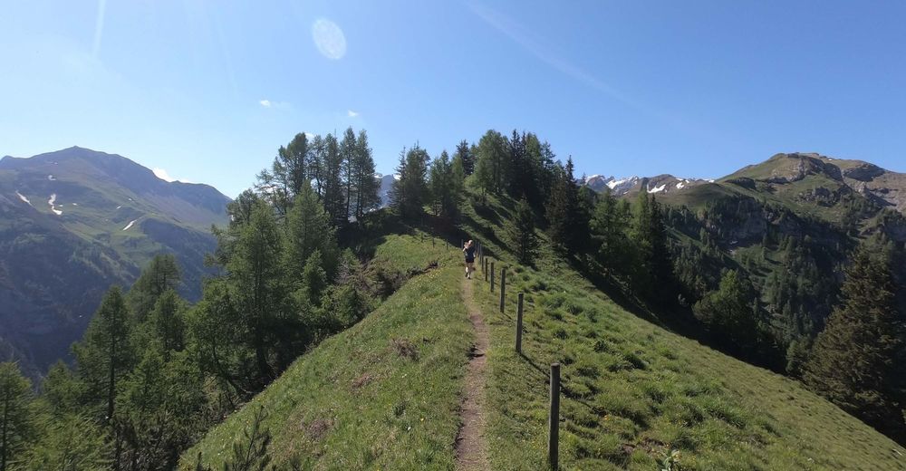
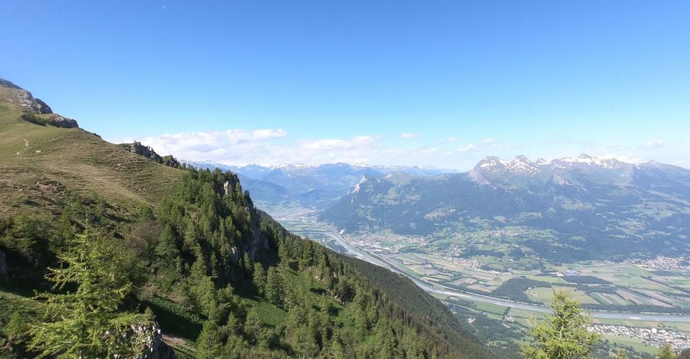
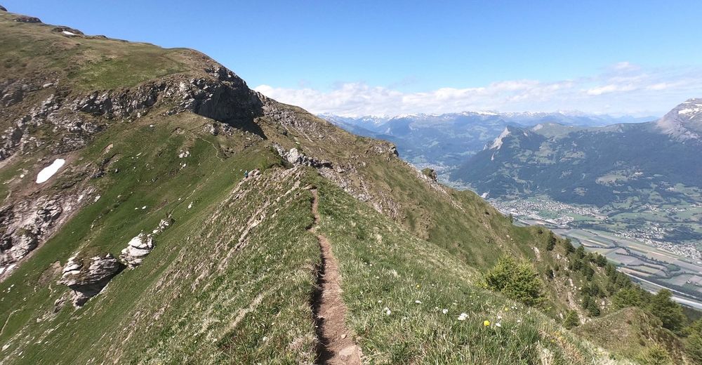
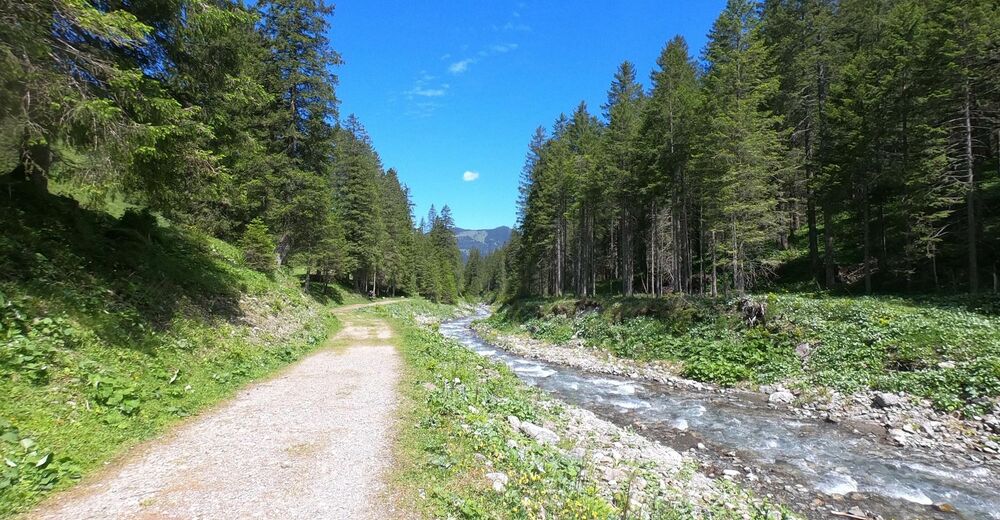
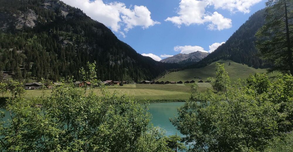
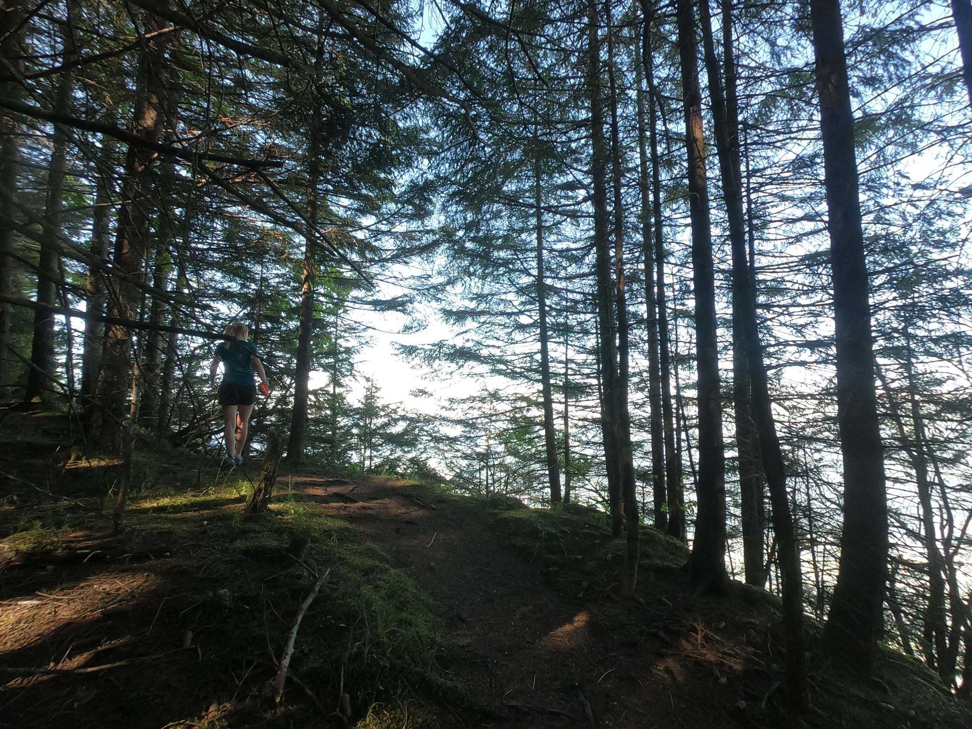
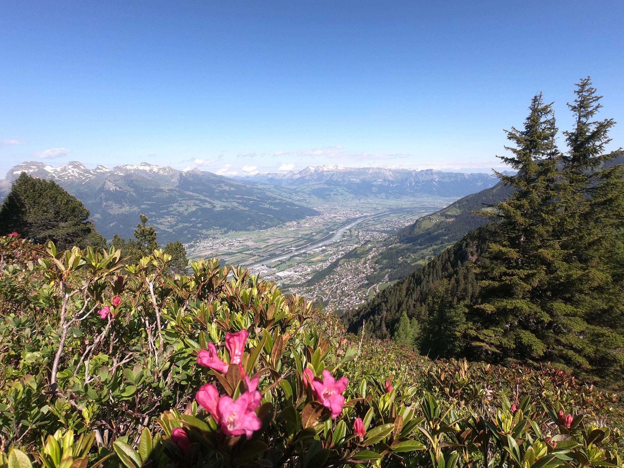
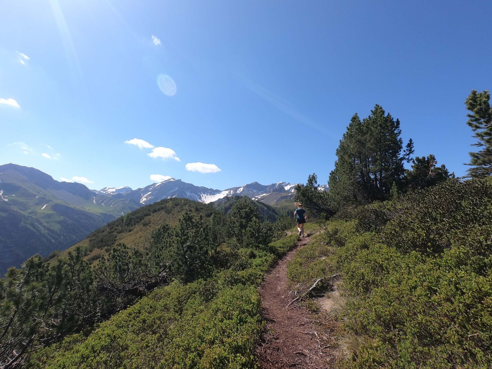
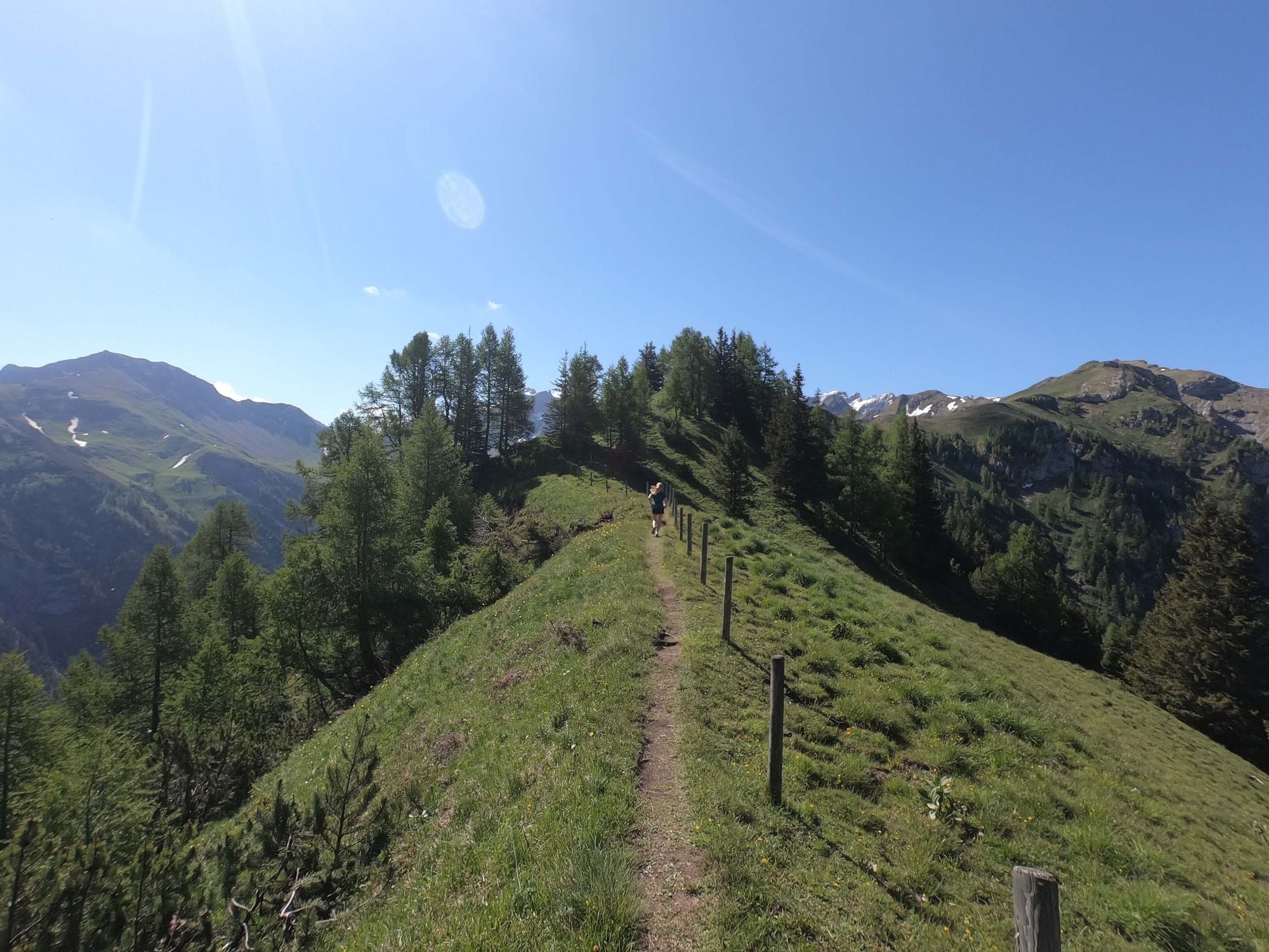
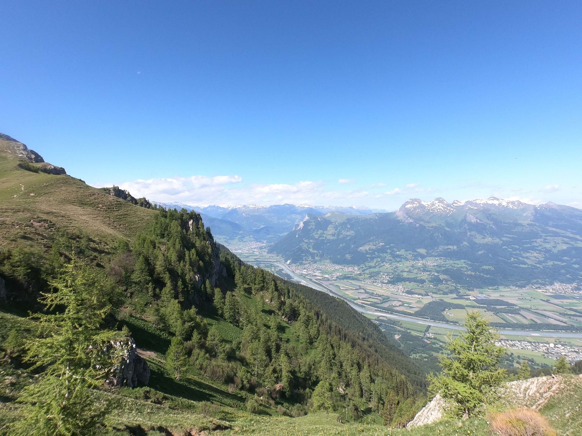
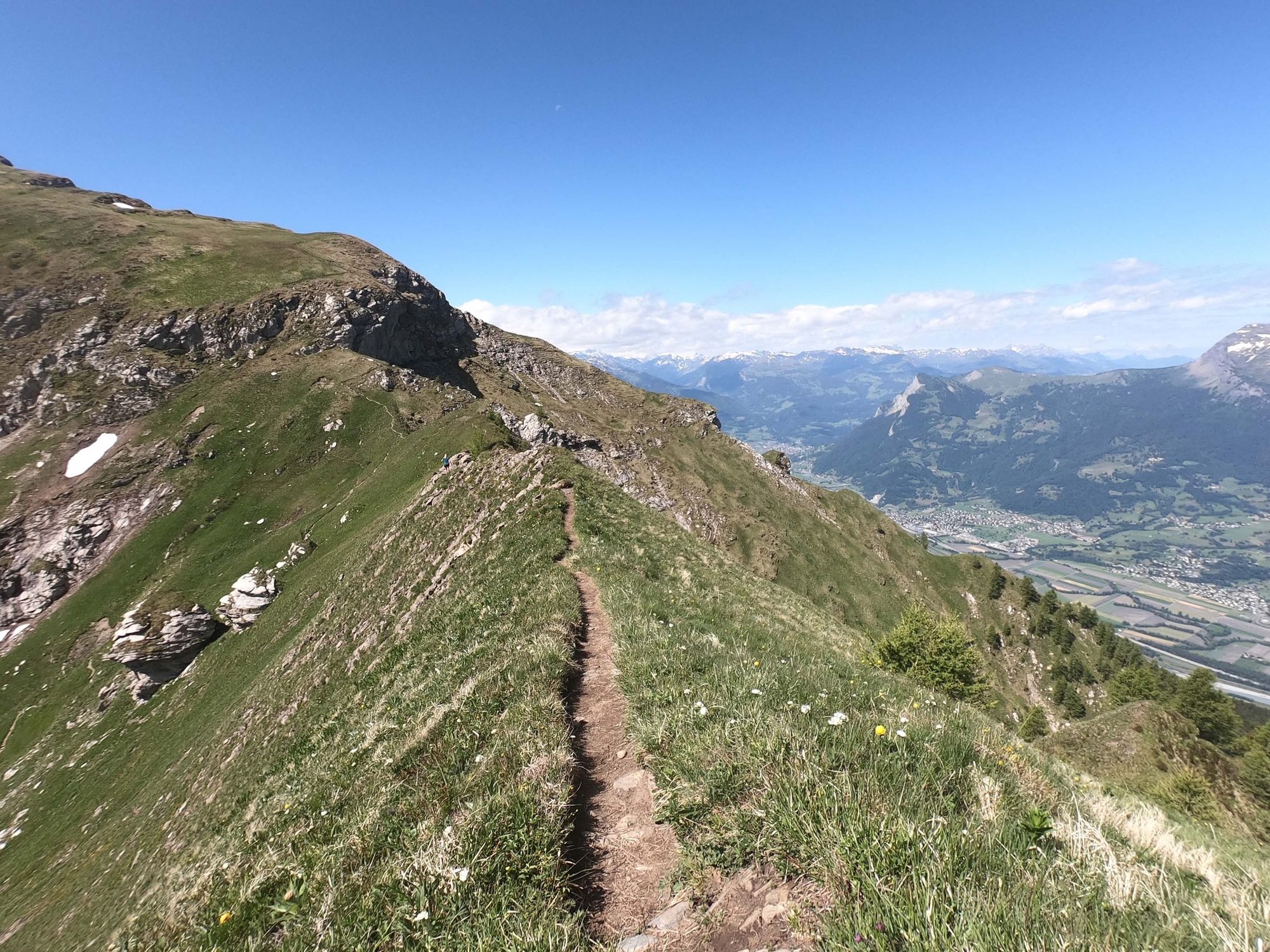
Technical ridge with unique view across the Rhine Valley

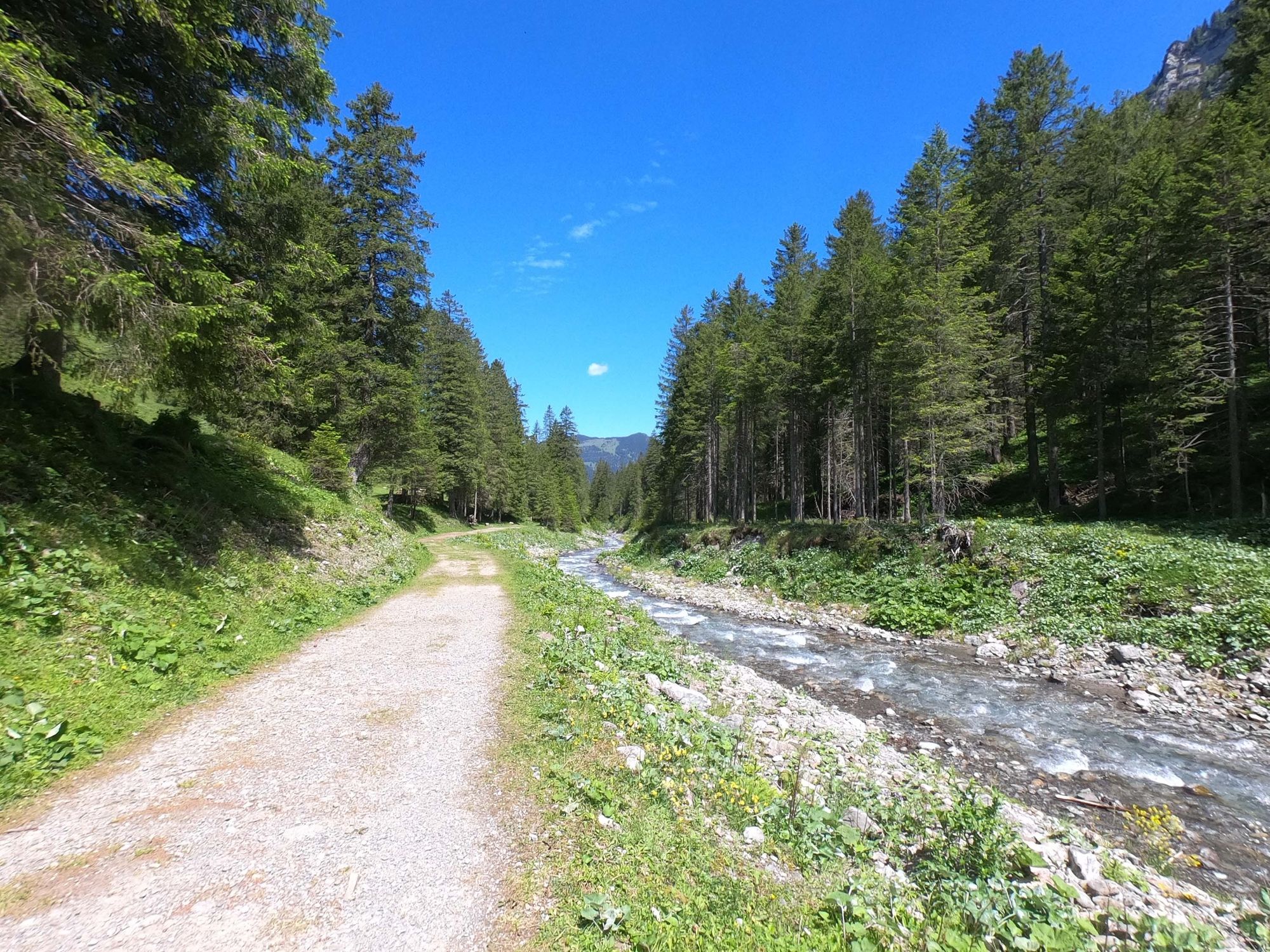
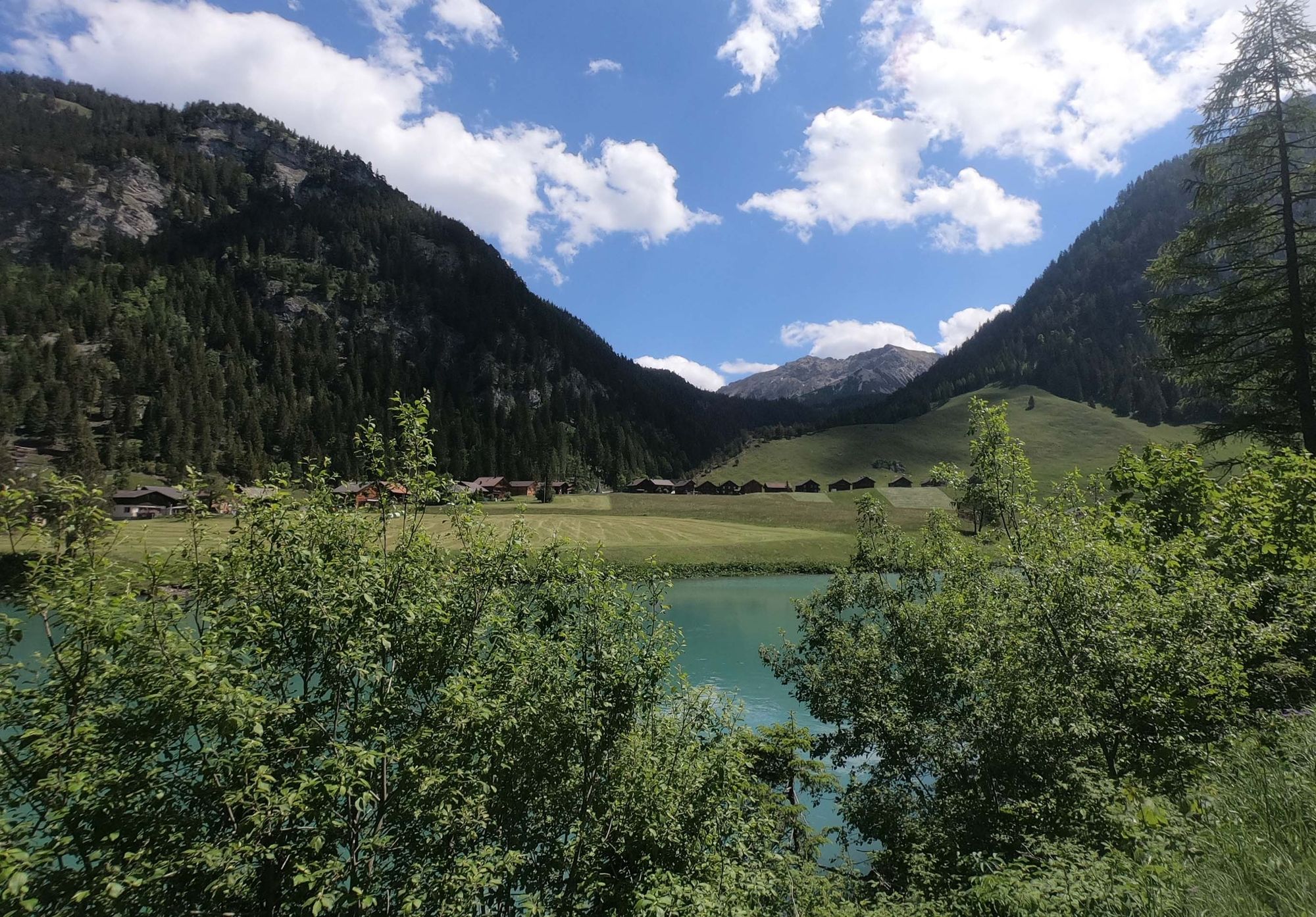
Trailrunning
© Liechtenstein Marketing - Michael Lenz
© Liechtenstein Marketing - Michael Lenz
© Liechtenstein Marketing - Michael Lenz
© Liechtenstein Marketing - Michael Lenz
© Liechtenstein Marketing - Michael Lenz
© Liechtenstein Marketing - Michael Lenz
© Liechtenstein Marketing - Michael Lenz
© Liechtenstein Marketing - Michael Lenz
- Korte beschrijving
-
This technically demanding trail run along the ridge parallel to the Rhine Valley offers special perspectives. The downhill is reminiscent of Canada.
- Moeilijkheid
-
medium
- Waardering
-
- Route
-
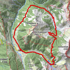
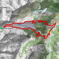
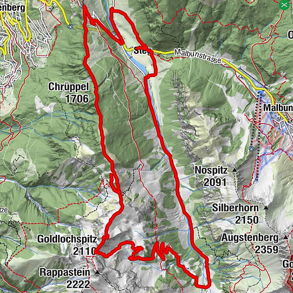
Bergstübli0,1 kmSteg0,1 kmKapelle Steg0,2 kmKleinsteg0,3 kmKlotzeck2,9 kmValüna-Säss (1.409 m)3,6 kmValüna3,6 kmAlp Valüna3,6 kmGapfahl-Obersäss (1.879 m)8,3 kmGoldlochspitz (2.110 m)9,8 kmKolm (1.993 m)10,7 kmChrüppel (1.706 m)14,0 kmWisli16,6 kmGrosssteg18,0 kmKleinsteg18,4 kmSteg18,5 kmBergstübli18,5 km
- Beste seizoen
-
janfebmrtaprmeijunjulaugsepoktnovdec
- Maximale hoogte
- 2.106 m
- Bestemming
-
Steg parking lot directly after the tunnel
- Hoogteprofiel
-
 © outdooractive.com
- Auteur
-
De rondleiding Technical ridge with unique view across the Rhine Valley wordt gebruikt door outdooractive.com op.
GPS Downloads


Algemene info
Verfrissingsstop
Veelbelovend
Meer rondleidingen in de regio's
-
Heidiland
104
-
Liechtenstein
46
-
Malbun
21