
- Korte beschrijving
-
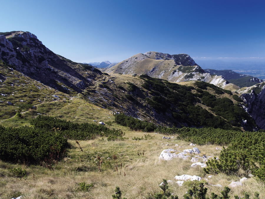
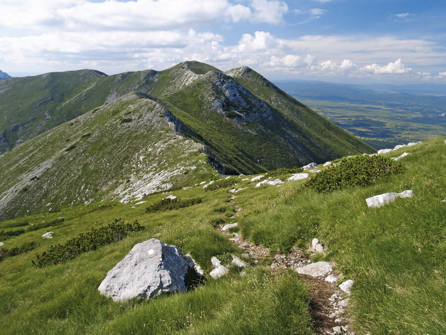
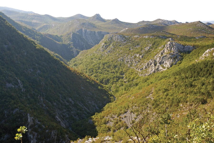
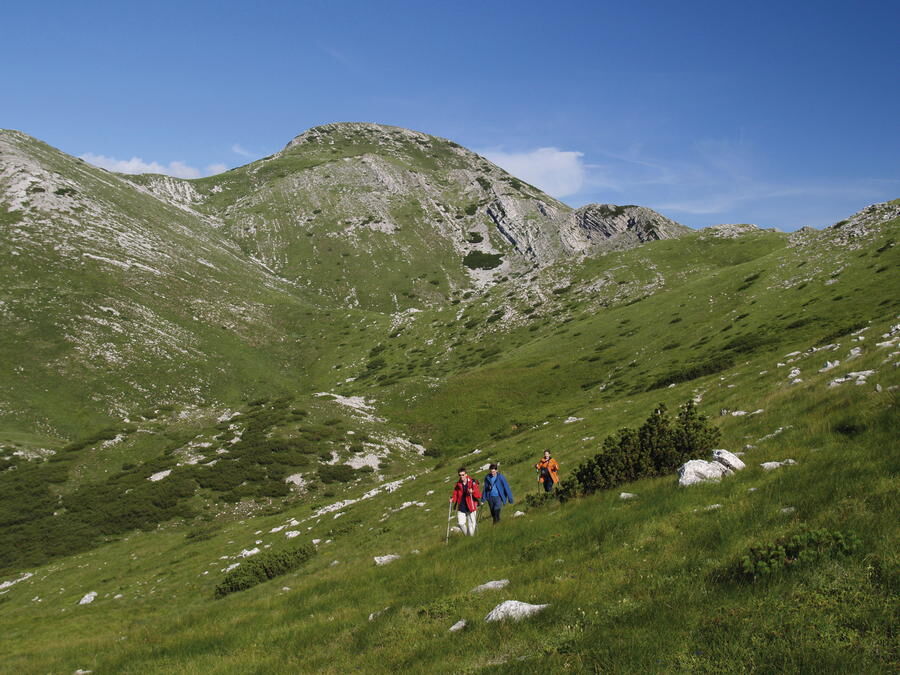
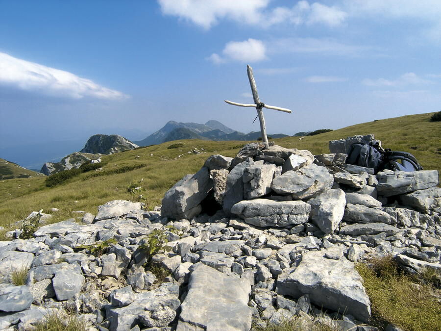
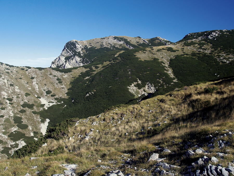
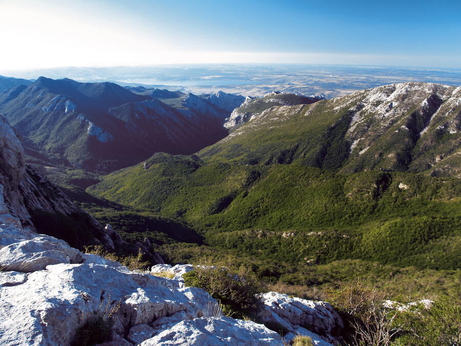
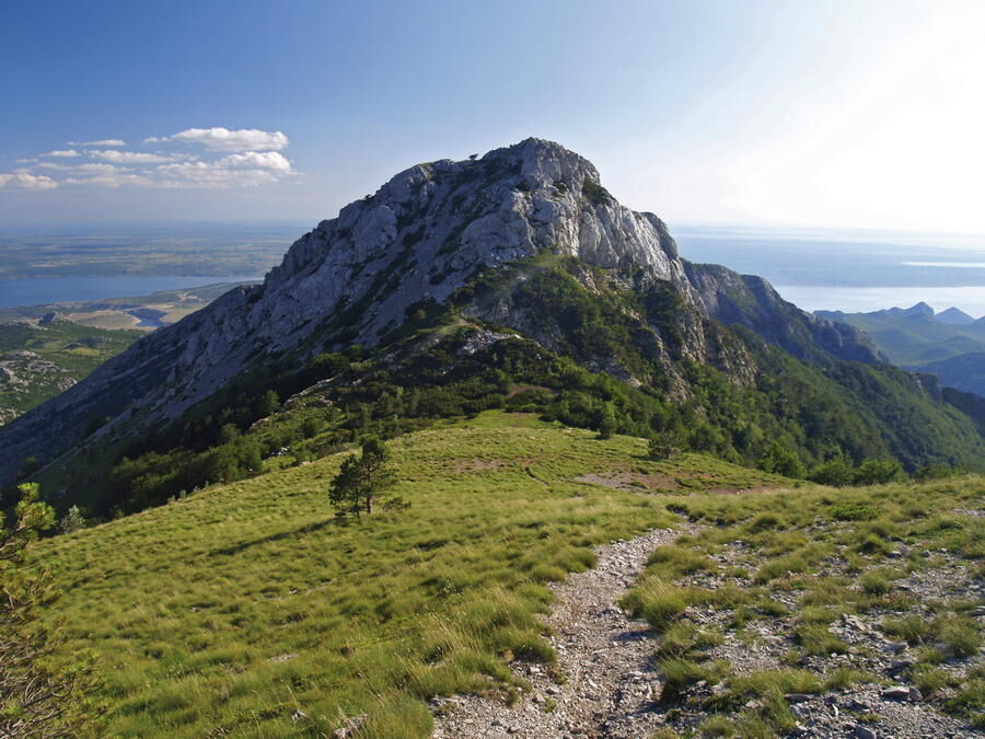
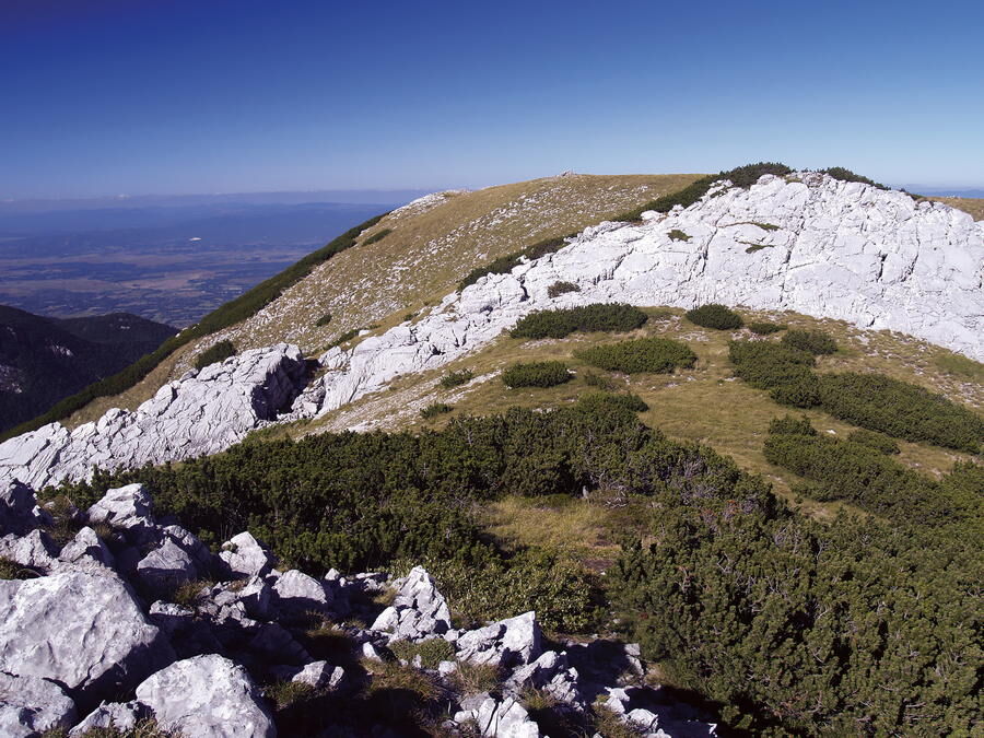
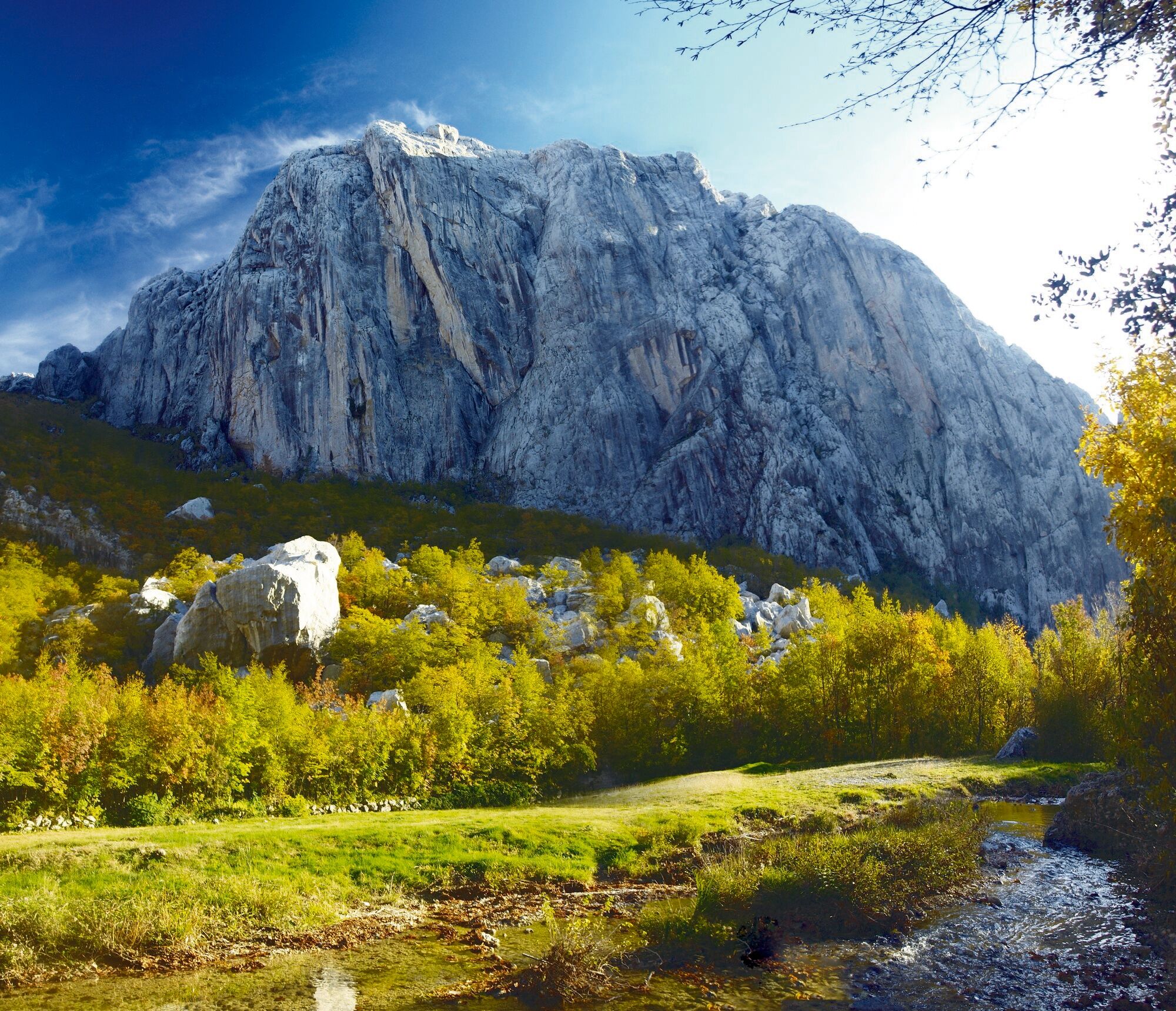
The area of Paklenica is one of the most interesting karst areas of Velebit and Croatia. At the base of the series of the highest peaks of Velebit, torrents have created two deep canyons representing a combination of longitudinal and deeply cut valleys in geomorphological terms. The most interesting sections are deeply cut areas of Velika Paklenica and Mala Paklenica, where creeks have created their beds penetrating through the rocks, some over 300 meters high. The longitudinal section 6 to 7 kilometers long, from Ivine vodice to the source of the creek of Brezimenjača, is located right below the highest peaks of Velebit that rise steeply from the valley for up to 1000 meters, creating series of sharp rocks in high elevations. On the side of the region of Lika, the mountain ridge also steeply rises along the line of the Velebit fault, with the field of Ličko polje spreading along it in the hinterland. Thanks to its extraordinary natural values, Paklenica has been declared a national park.
- Moeilijkheid
-
medium
- Waardering
-
- Route
-
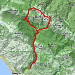
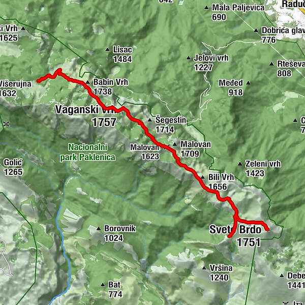
Marasovac drinking well0,9 kmVaganski vrh (1.757 m)4,1 kmMalovan (1.623 m)6,4 kmSveto Brdo (1.751 m)11,8 km
- Beste seizoen
-
janfebmrtaprmeijunjulaugsepoktnovdec
- Maximale hoogte
- 1.739 m
- Bestemming
-
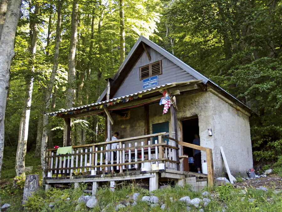
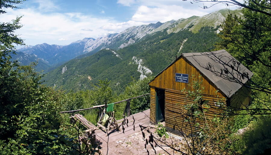
Mountain hut Vlaški grad
- Hoogteprofiel
-
 © outdooractive.com

-

-
AuteurDe rondleiding Via Dinarica HR-W-17 Nacionalni park Paklenica wordt gebruikt door outdooractive.com op.


")