© Luzern Tourismus AG - Laila Bosco

© Outdooractive – 3D Videos

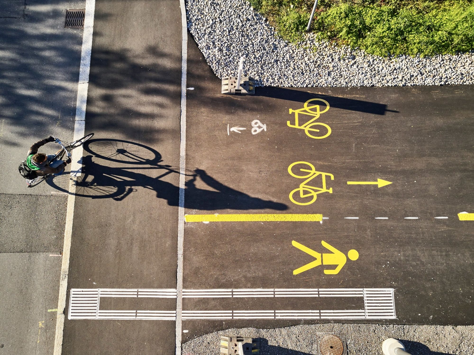
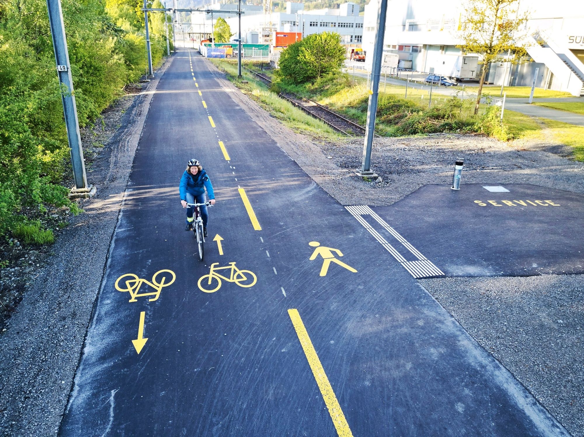
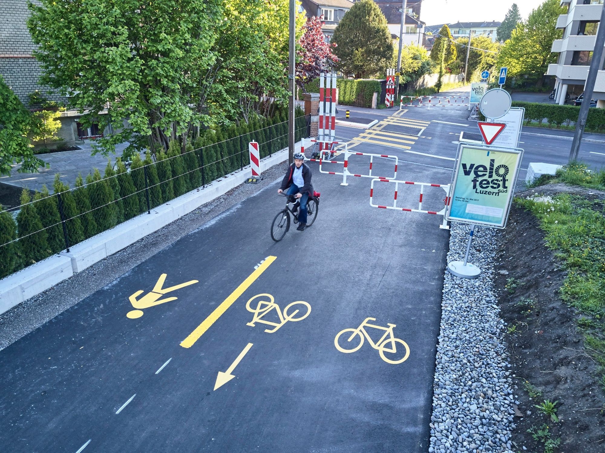
© Region Luzern-Vierwaldstättersee - Entlang des Freigleises, dem früheren Bahntrassee der Zentralbahn


© Region Luzern-Vierwaldstättersee - Jonas Spöring

© Region Luzern-Vierwaldstättersee - Jonas Spöring

© Region Luzern-Vierwaldstättersee - Jonas Spöring

© Region Luzern-Vierwaldstättersee - Jonas Spöring

- Korte beschrijving
-
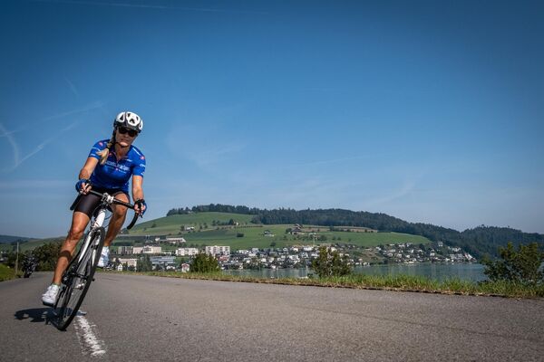
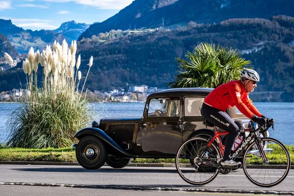
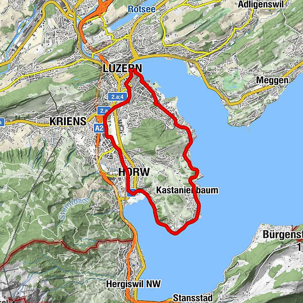
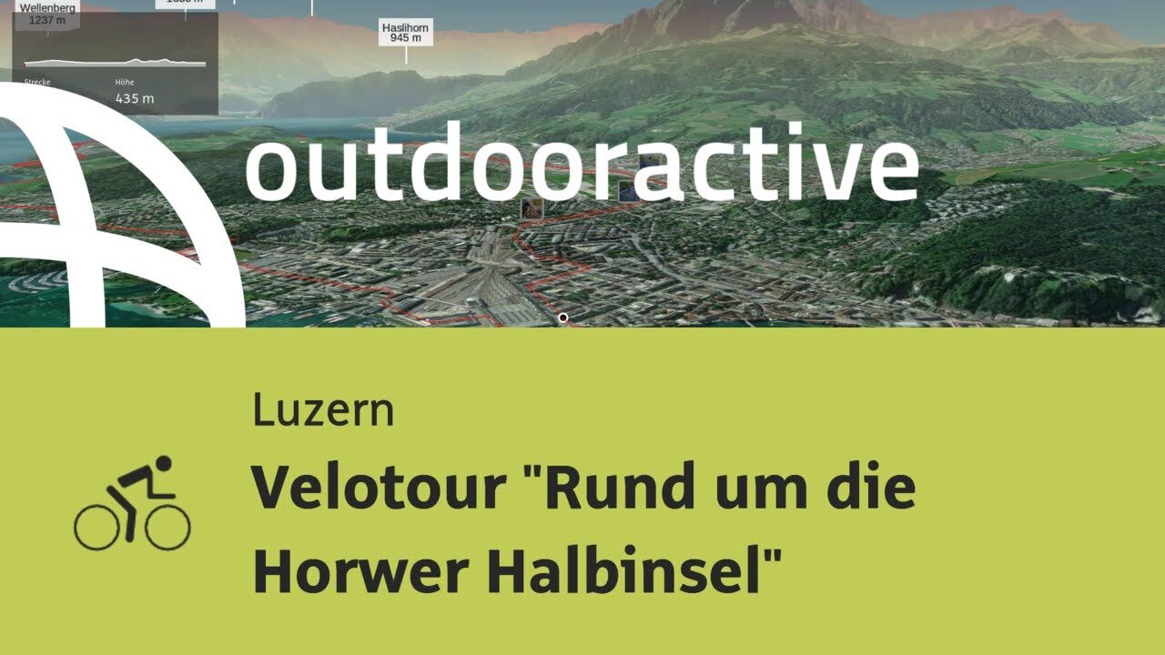
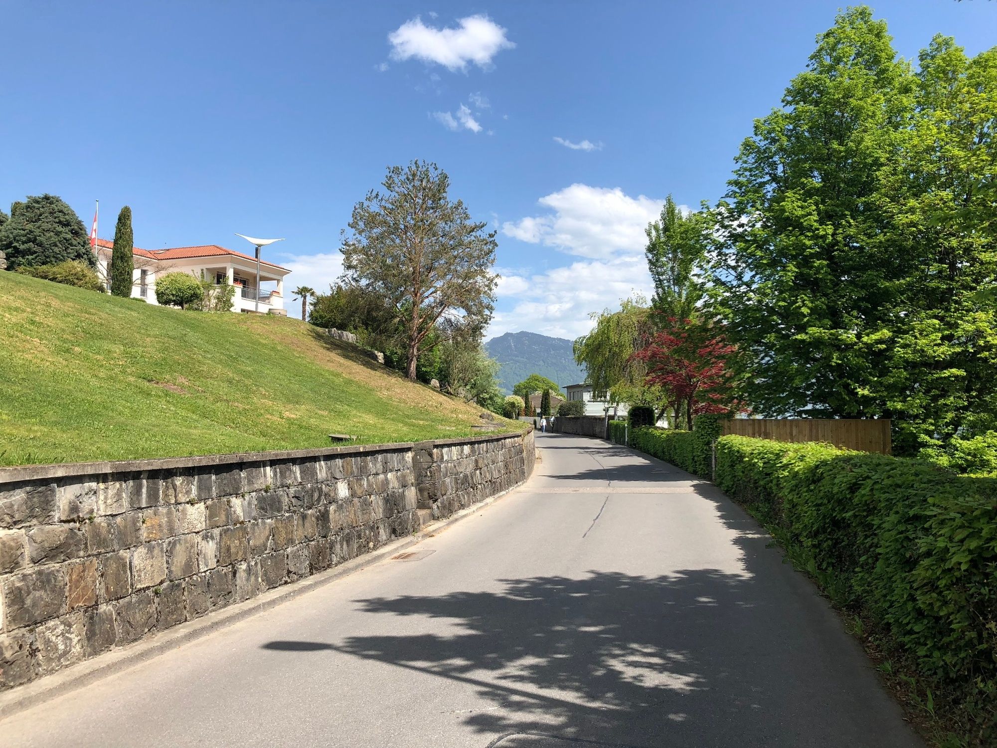
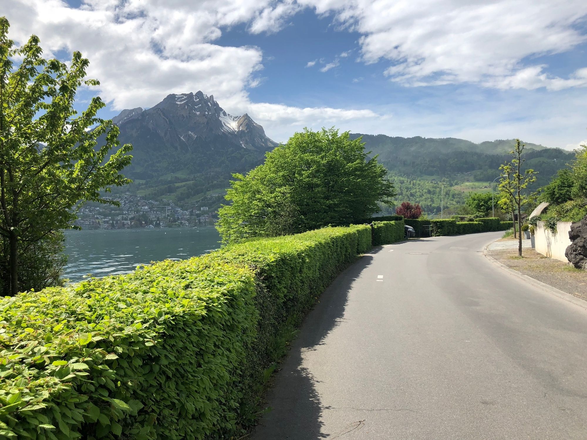
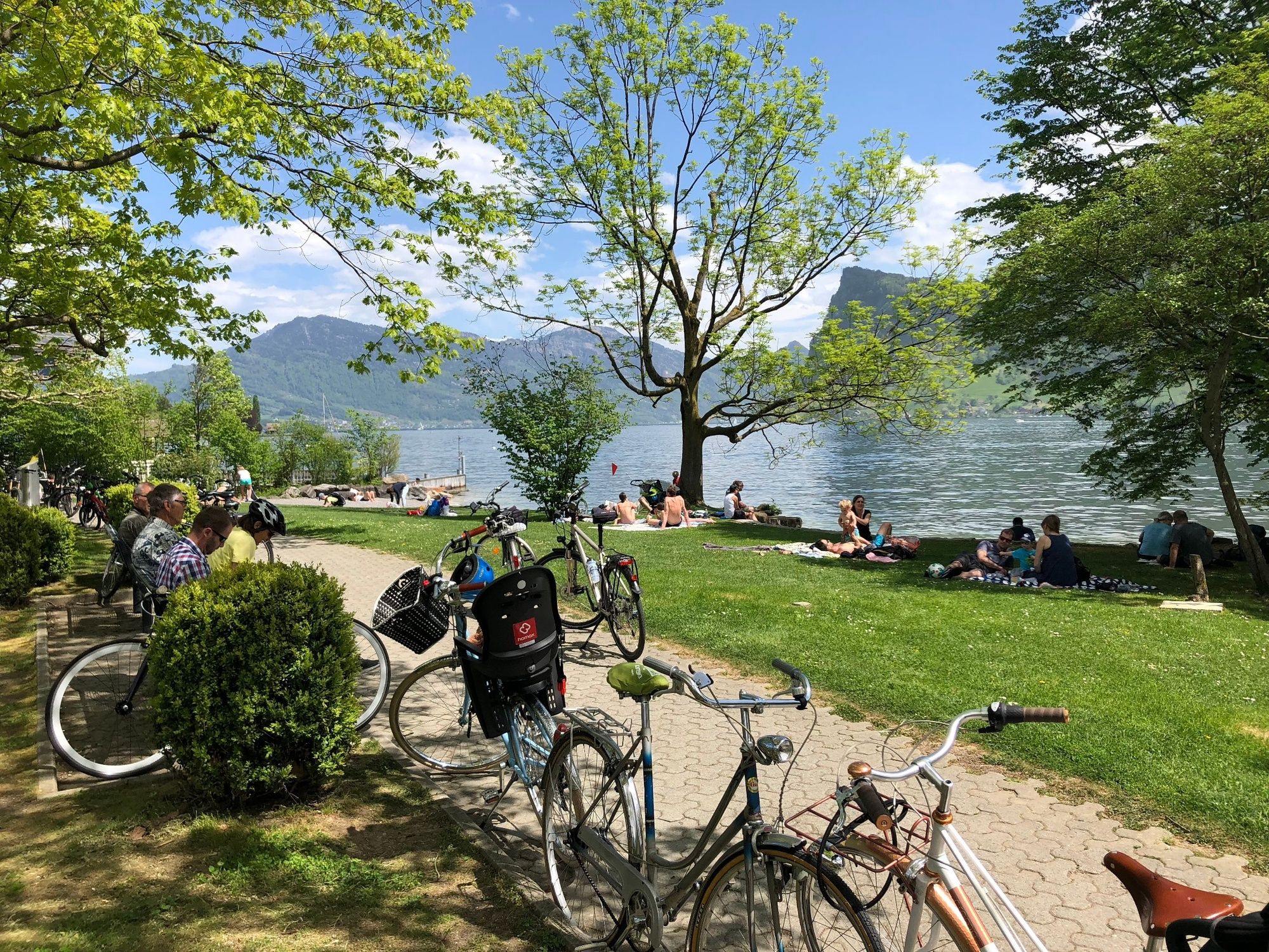
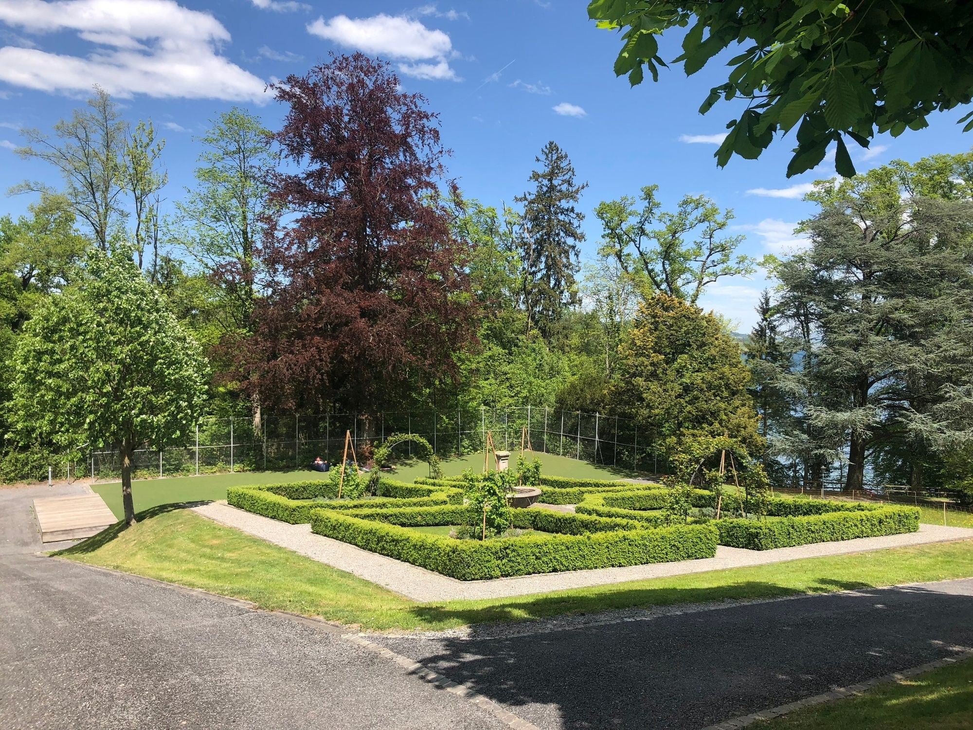
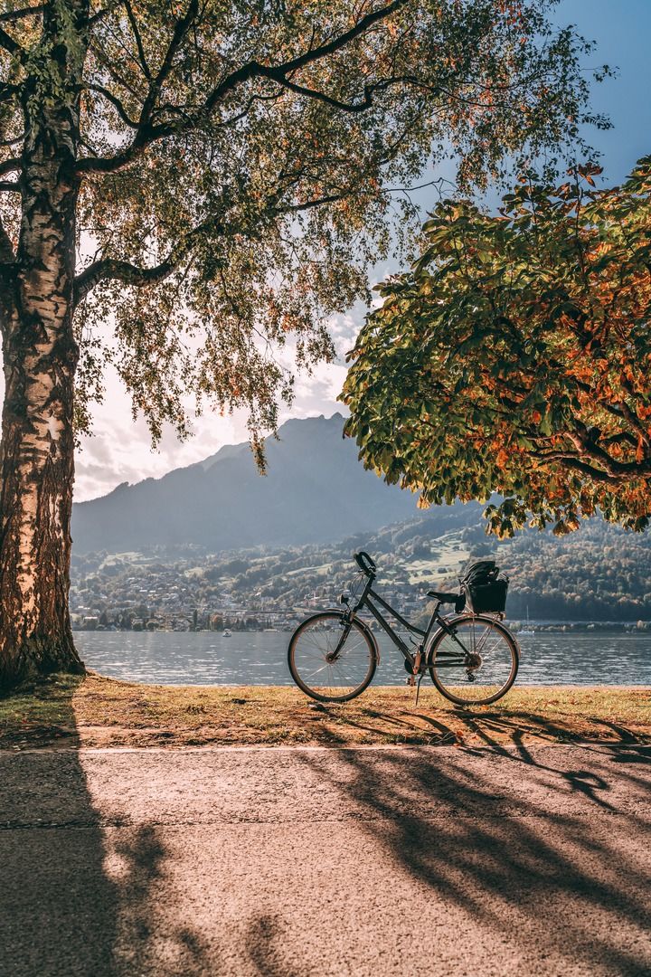
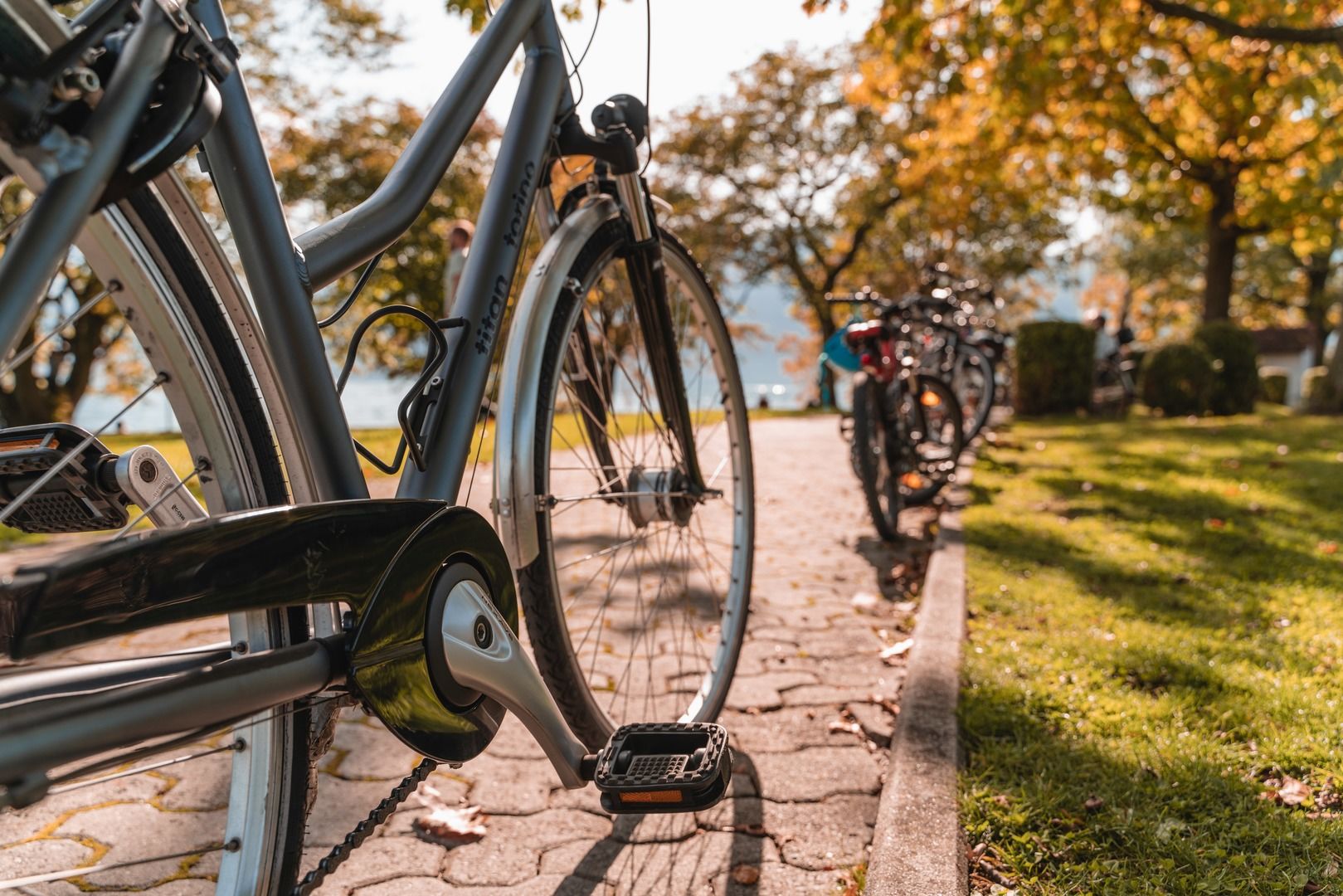
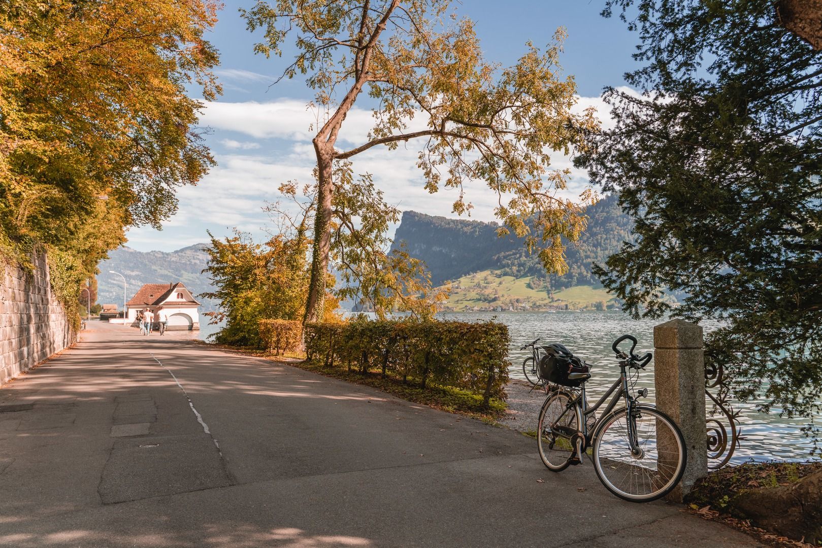
Panoramic tour (partly on the "Freigleis" cycle path) around the Horw peninsula with excellent views of the Pilatus, Stanserhorn and Rigi.
- Moeilijkheid
-
gemakkelijk
- Waardering
-
- Route
-
Lucerne (436 m)Lukaskirche0,2 kmSteghof1,3 kmKriens2,2 kmHorw4,5 kmWinkel5,9 kmWinkelbadi6,2 kmKastanienbaum9,6 kmSt. Niklausen10,4 kmStutz12,2 kmSchönbühl12,8 kmVorderrain Kapelle13,0 kmTribschenmoos14,0 kmRösslimatt14,6 kmLandungssteg 2 (SGV) Bahnhofquai15,4 km
- Beste seizoen
-
janfebmrtaprmeijunjulaugsepoktnovdec
- Maximale hoogte
- 469 m
- Bestemming
-
Lucerne railway station, Pier 1 by the lake
- Hoogteprofiel
-
 © outdooractive.com

-
-
AuteurDe rondleiding Freigleis-Horw peninsula wordt gebruikt door outdooractive.com op.
GPS Downloads


Algemene info
Verfrissingsstop
Flora
Veelbelovend
Meer rondleidingen in de regio's