© Stoos-Muotatal Tourismus GmbH - Stoos-Muotatal Tourismus

© Stoos-Muotatal Tourismus GmbH - Stoos-Muotatal Tourismus

© Stoos-Muotatal Tourismus GmbH - Beat Brechbühl


- Korte beschrijving
-
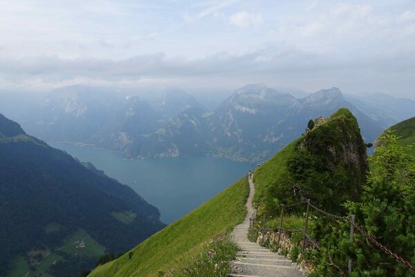
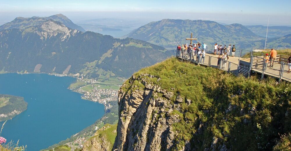
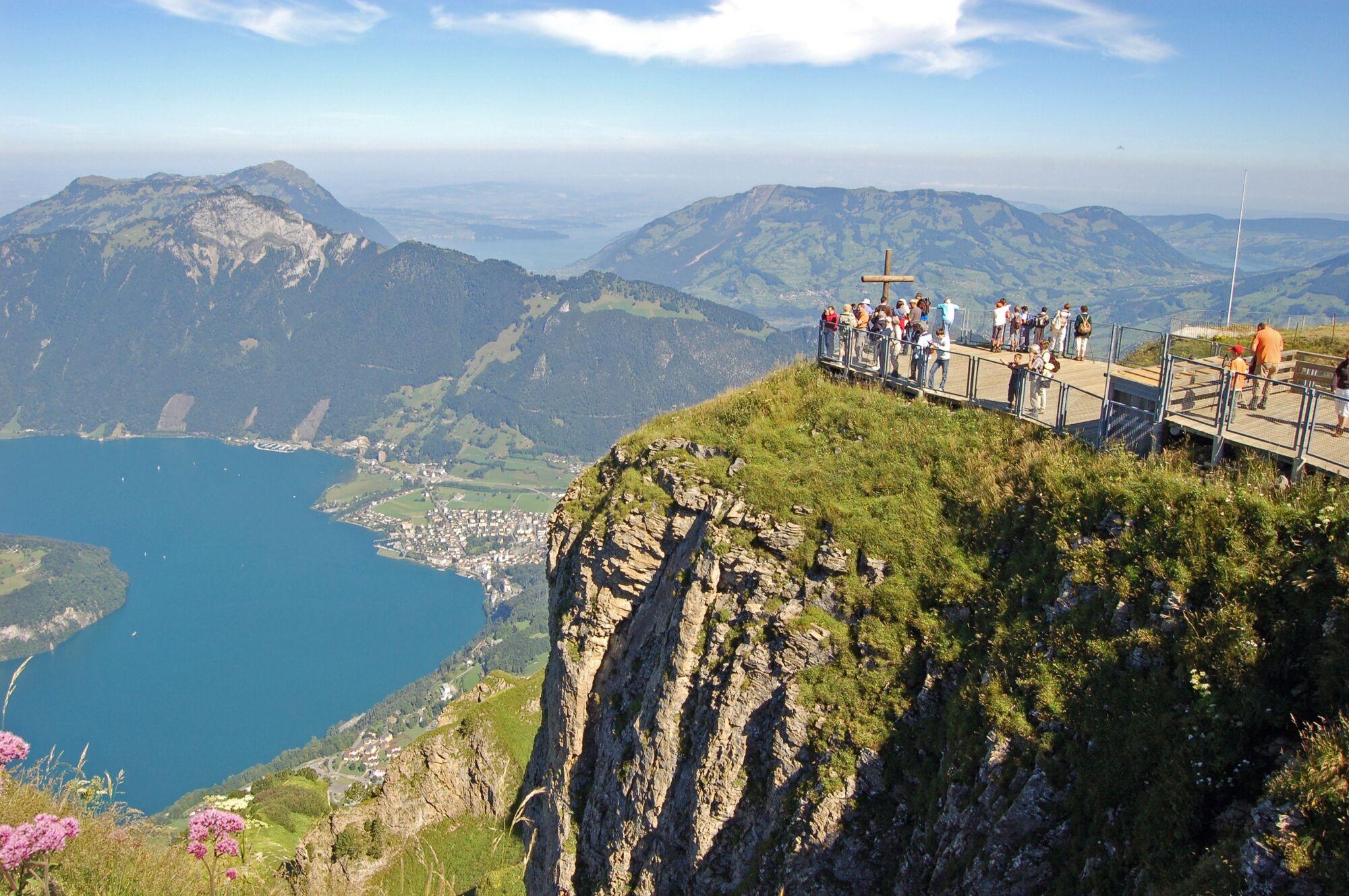
From the steepest funicular railway to one of the most beautiful vantage points in Central Switzerland.
- Moeilijkheid
-
medium
- Waardering
-
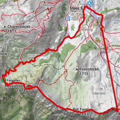
- Route
-
Stoos SZ (1.305 m)0,2 kmFronalpstock4,1 km
- Beste seizoen
-
janfebmrtaprmeijunjulaugsepoktnovdec
- Maximale hoogte
- 1.903 m
- Bestemming
-
Stoos, Mountain station funicular
- Hoogteprofiel
-
 © outdooractive.com


- Auteur
-
De rondleiding Stoos - Fronalpstock wordt gebruikt door outdooractive.com op.
GPS Downloads


Algemene info
Verfrissingsstop
Veelbelovend
Meer rondleidingen in de regio's
-
Schwyz
1747
-
Mythenregion
894
-
Stoos
336