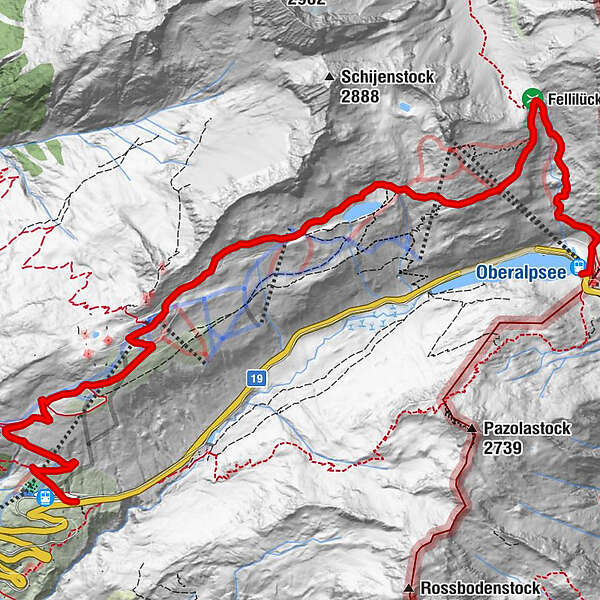
High Alpine Walk from the Oberalp Pass to Nätschen

Wandelen

© Matterhorn Gotthard Bahn - Christian Pfammatter

© Matterhorn Gotthard Bahn - Christian Pfammatter

© Matterhorn Gotthard Bahn - Christian Pfammatter


© Sedrun Disentis Tourismus - Heidi Meier

© Sedrun Disentis Tourismus - Heidi Meier

© Sedrun Disentis Tourismus - Heidi Meier

© Sedrun Disentis Tourismus - Heidi Meier

- Korte beschrijving
-
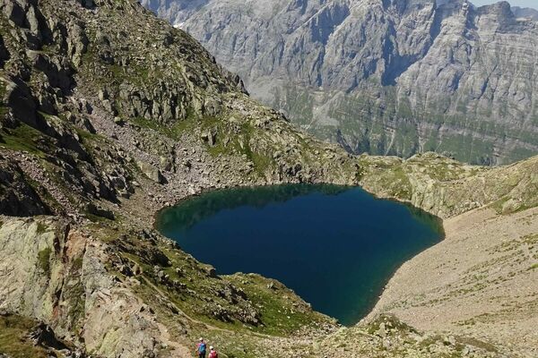
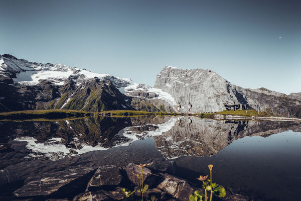
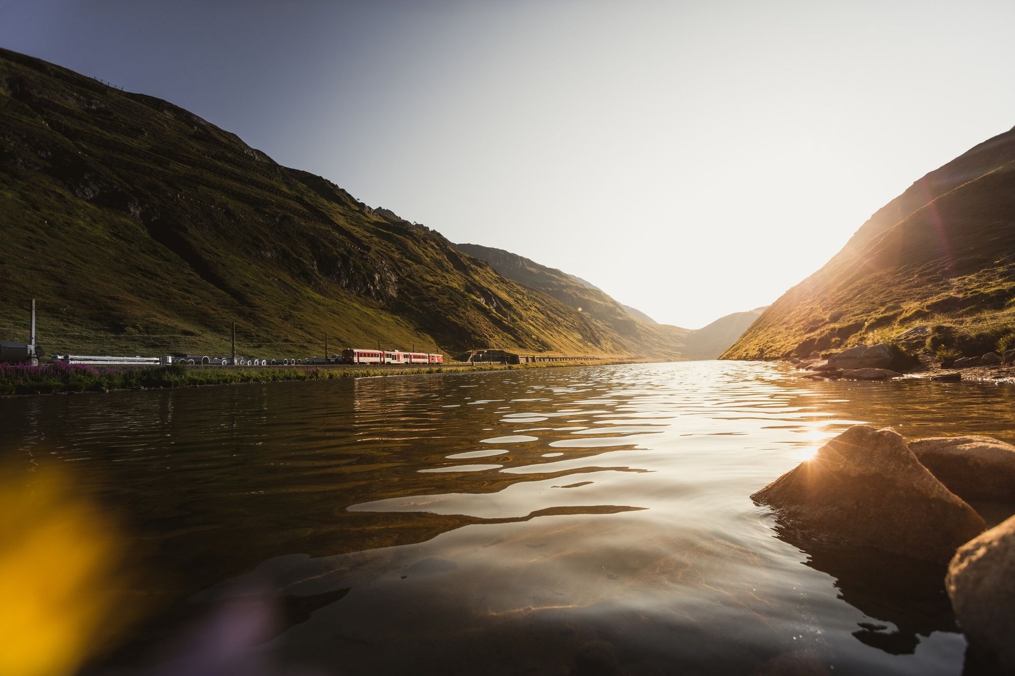
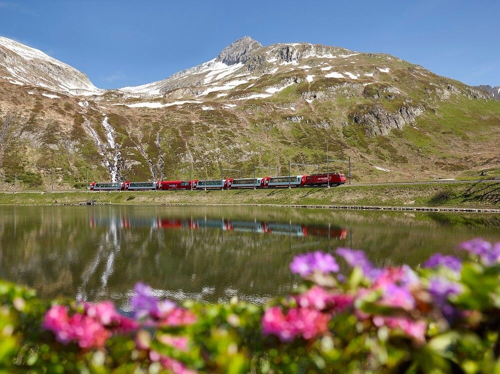
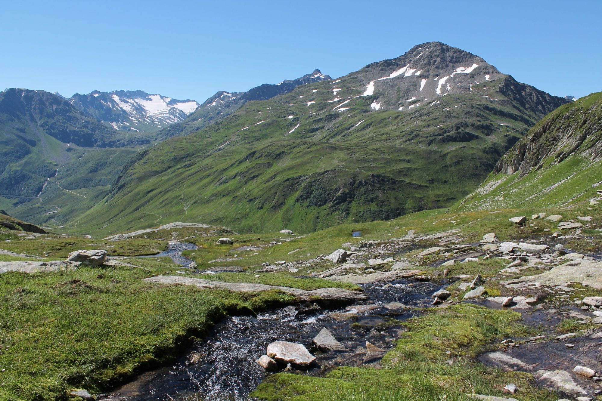
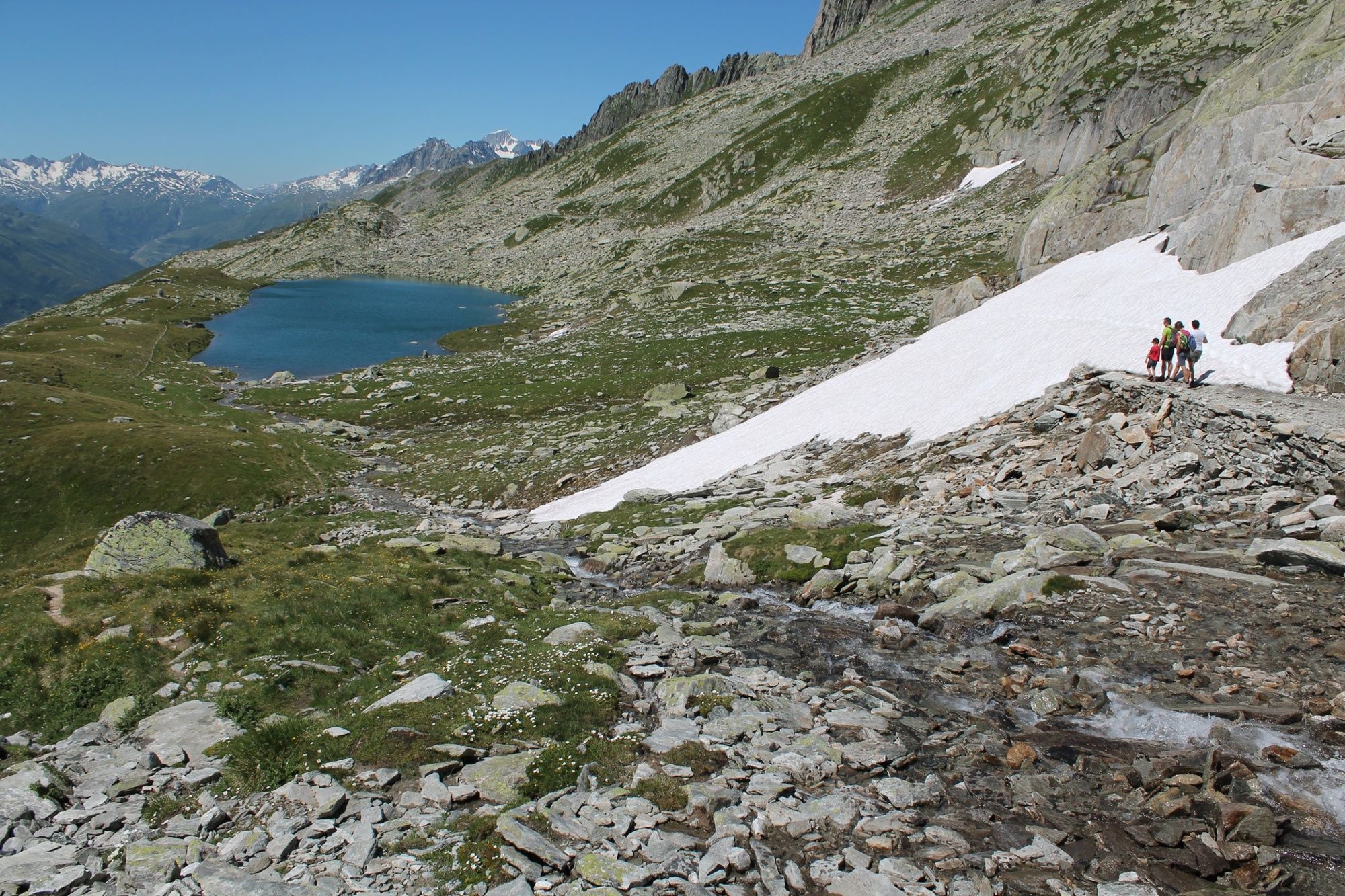
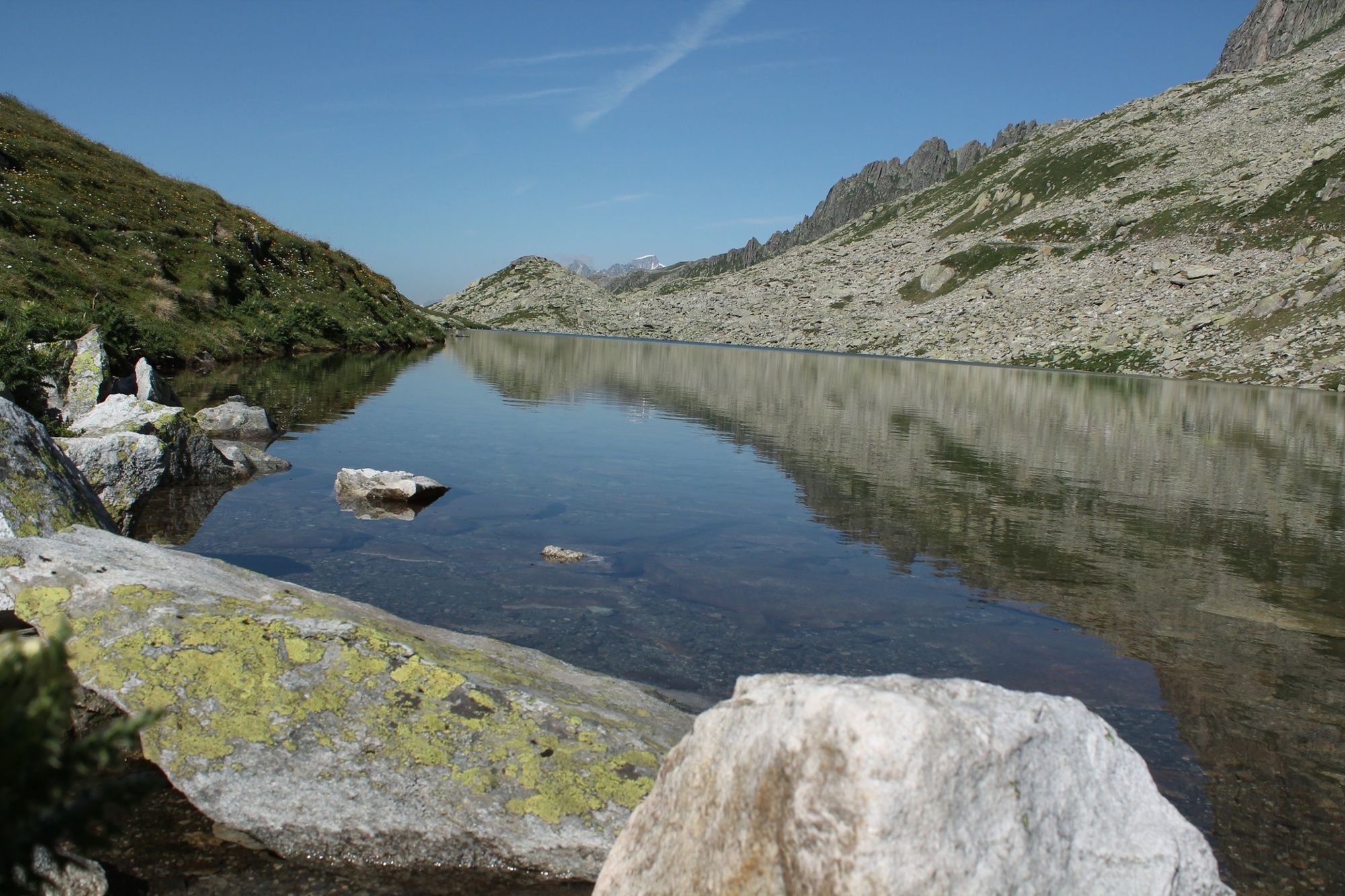
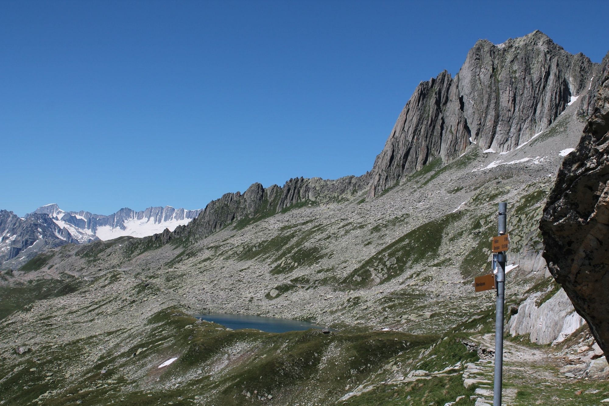
The high alpine walk takes hikers over the pass road and railway line at Oberalp from the top of the pass to Nätschen. In the beginning the trail is steep but hikers’ efforts are rewarded with a view over an idyllic mountain lake, a wonderful panorama and the impressive wind-power farm on the Gütsch.
- Moeilijkheid
-
medium
- Waardering
-
- Route
-
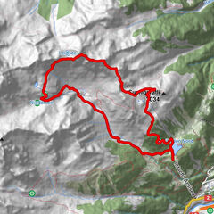
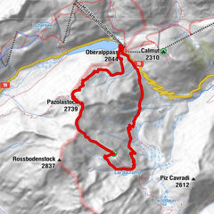
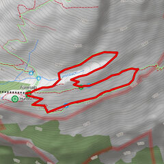
Piz Calmot0,0 kmOberalppass0,1 kmOberalp Platten3,2 kmGütsch7,0 kmNätschen10,5 kmAlp-Hittä10,8 km
- Beste seizoen
-
janfebmrtaprmeijunjulaugsepoktnovdec
- Maximale hoogte
- 2.464 m
- Bestemming
-
Nätschen train station
- Hoogteprofiel
-
 © outdooractive.com

- Auteur
-
De rondleiding High Alpine Walk from the Oberalp Pass to Nätschen wordt gebruikt door outdooractive.com op.
GPS Downloads


Algemene info
Verfrissingsstop
Tip voor insiders
Flora
Veelbelovend