© Stoos-Muotatal Tourismus GmbH - Ivan Steiner

© Stoos-Muotatal Tourismus GmbH - Stoos-Muotatal Tourismus

© Stoos-Muotatal Tourismus GmbH - Stoos-Muotatal Tourismus

- Korte beschrijving
-
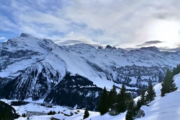
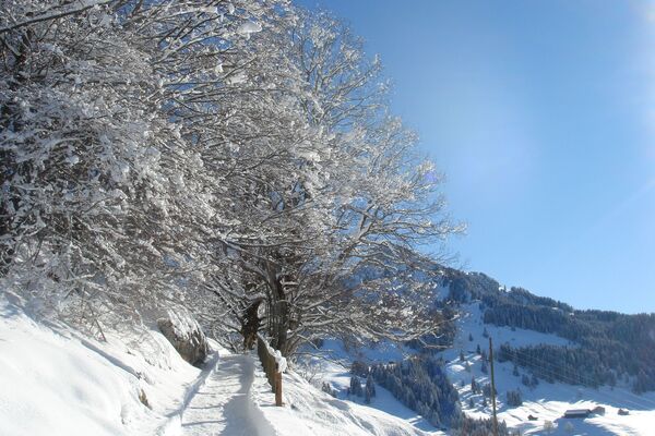
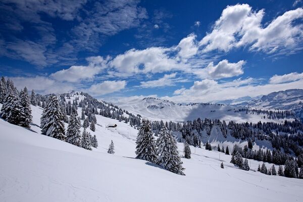
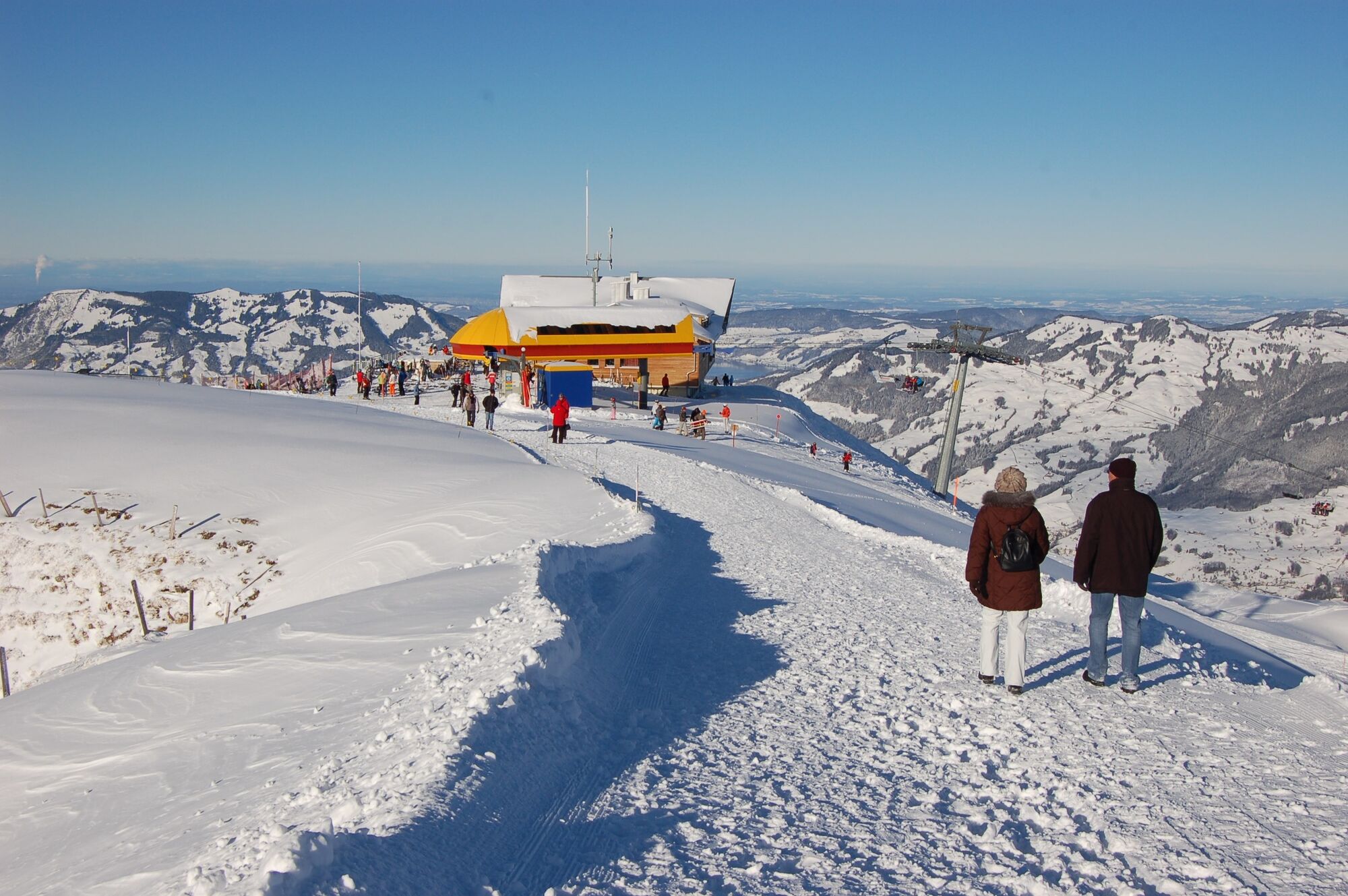
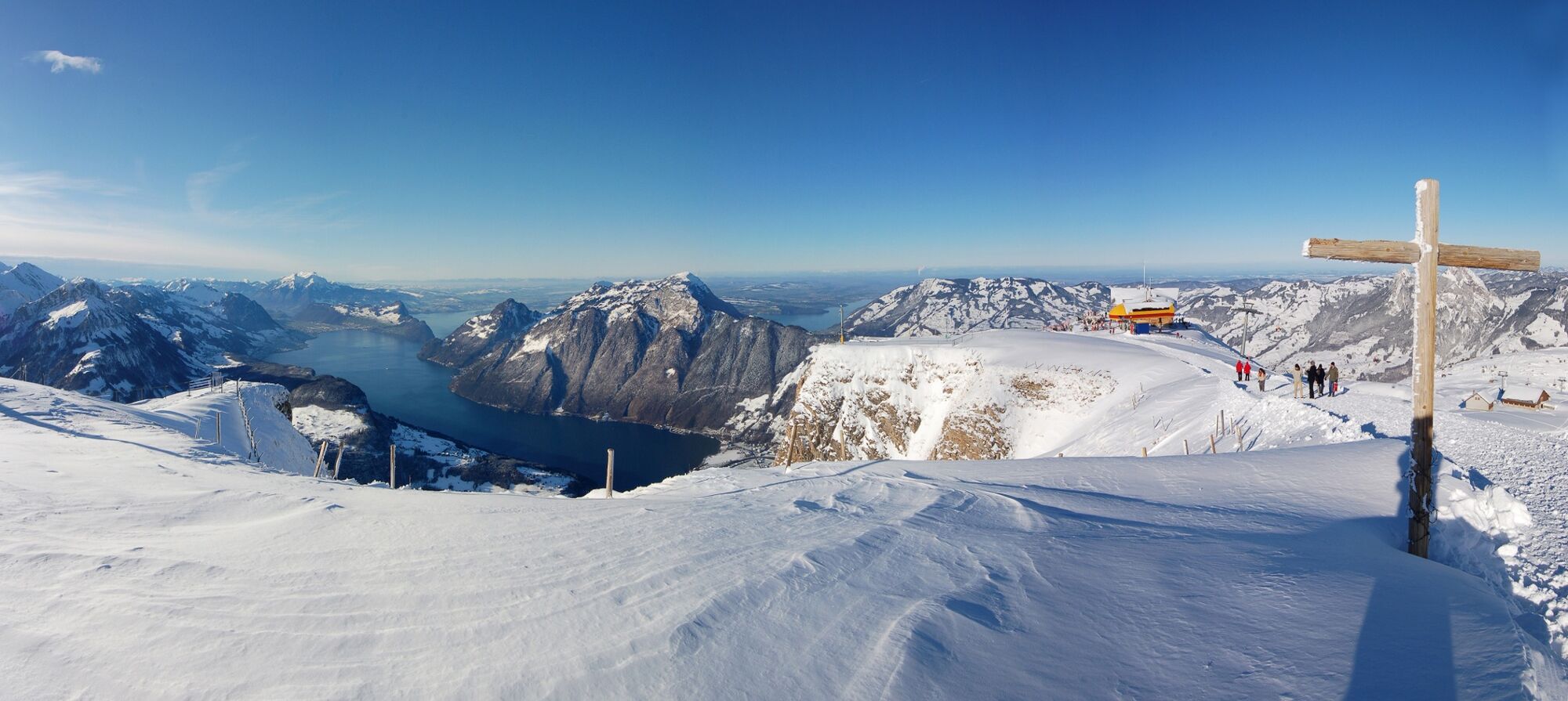
The scenic path leads once around the Fonalpstock summit to reveal views of 10-plus lakes. This is like a real-life panoramic painting-in-the-round of Central Switzerland, as beautiful as only nature can create it. The experience begins with a funicular railway ride to the village of Stoos.
- Moeilijkheid
-
gemakkelijk
- Waardering
-
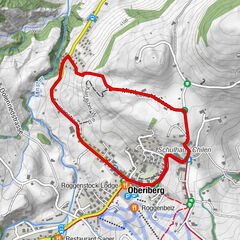
- Route
-
Fronalpstock (1.920 m)1,0 km
- Beste seizoen
-
augsepoktnovdecjanfebmrtaprmeijunjul
- Maximale hoogte
- 1.916 m
- Bestemming
-
Fronalpstock chairlift, upper terminus
- Hoogteprofiel
-
 © outdooractive.com

- Auteur
-
De rondleiding Stoos - Fronalpstock panorama trail wordt gebruikt door outdooractive.com op.
GPS Downloads


Algemene info
Verfrissingsstop
Tip voor insiders
Veelbelovend
Meer rondleidingen in de regio's
-
Schwyz
113
-
Mythenregion
65
-
Morschach
33