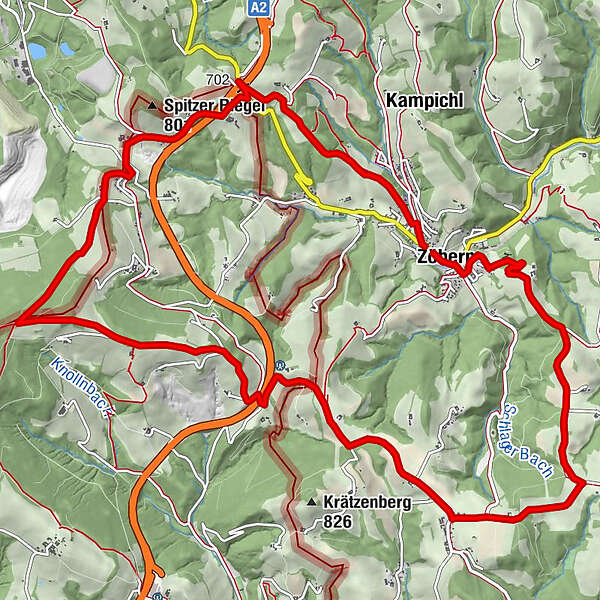
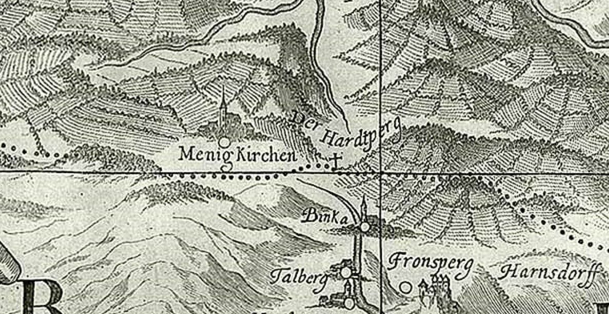
HWW-Hiking route: Zöbern - Schlag bei Zöbern - Patritzl-Kreuz - Schuh-Wirt (circular trail)

Themapad

© Oststeiermark Tourismus - XKarin Hofer
- Korte beschrijving
-
This HWW hiking route is part of the Wechselland Historical Long-Distance Hiking Trail (HWW), which tells the story of Wechselland along more than 100 HWW stations. More information can be found at www.wechsel-wandern.at.
- Moeilijkheid
-
medium
- Waardering
-
- Route
-
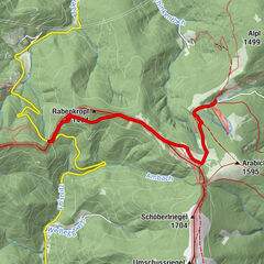
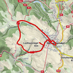
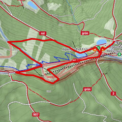
Gasthof Gansterer0,0 kmPfarrkirche St. Georg0,1 kmKapelle0,1 kmZöbern0,1 kmSchlag4,6 kmKnolln8,4 kmGasthaus Schuh11,7 kmZöbern15,4 km
- Beste seizoen
-
janfebmrtaprmeijunjulaugsepoktnovdec
- Maximale hoogte
- 881 m
- Bestemming
-
Zöbern
- Hoogteprofiel
-

-

-
AuteurDe rondleiding HWW-Hiking route: Zöbern - Schlag bei Zöbern - Patritzl-Kreuz - Schuh-Wirt (circular trail) wordt gebruikt door outdooractive.com op.
GPS Downloads


Algemene info
Cultureel/Historisch
Meer rondleidingen in de regio's
-
Wiener Alpen
3048
-
Wechselland - Wiener Alpen
1704
-
Zöbern
298