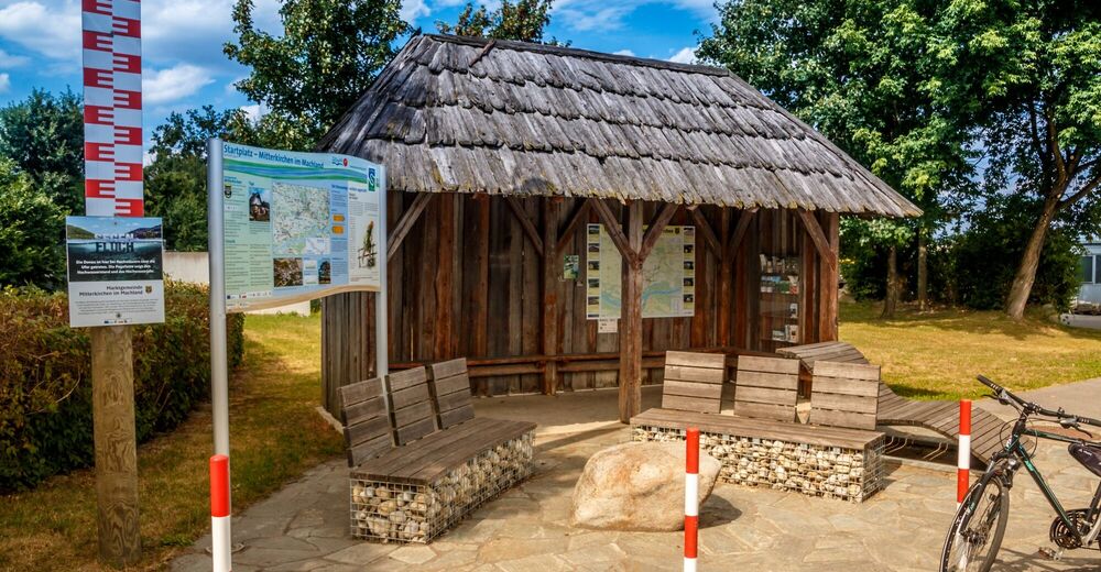
© Marktgemeinde Mitterkirchen im Machland - Michael Zobl

- Korte beschrijving
-
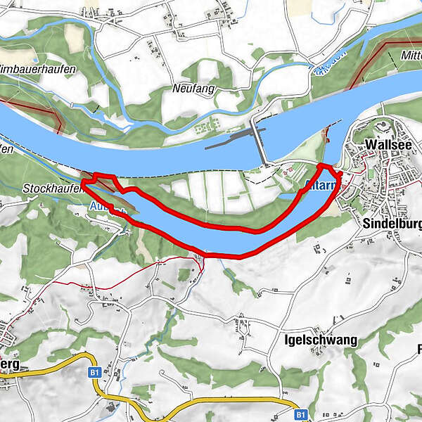
Scenic, windless hike along the Old Danube. This circular route leads past the watersports centre, along the right abandoned river course through banks and meadow landscapes with their typical fauna and flora. After Rohrmühle tube mill we also cross Aubach and Erlabach streams.
- Moeilijkheid
-
medium
- Waardering
-
- Beste seizoen
-
janfebmrtaprmeijunjulaugsepoktnovdec
- Maximale hoogte
- 241 m
- Bestemming
-
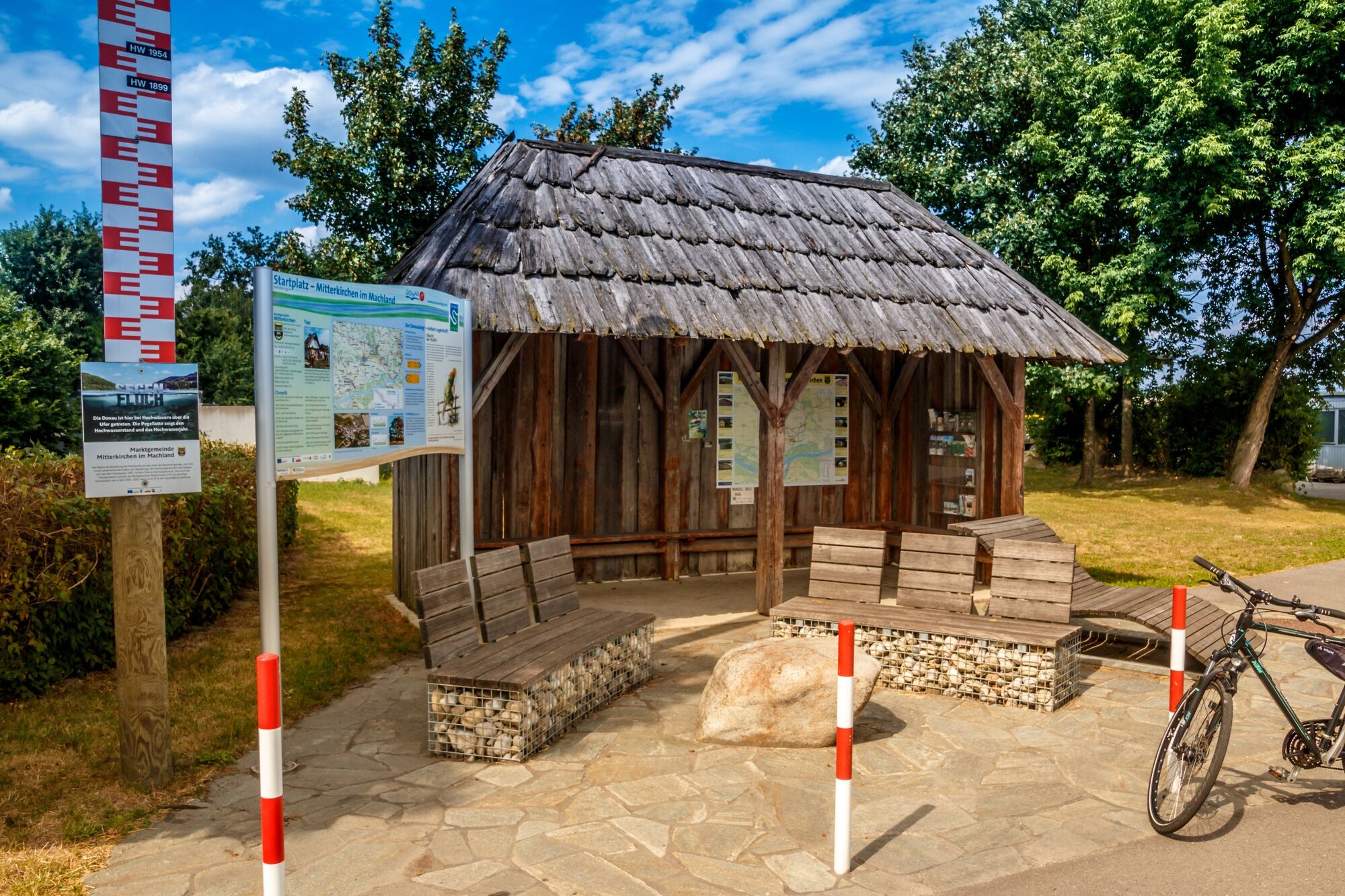
From Mitterkirchen you drive over the Danube bridge towards Wallsee. Immediately after the traffic lights you will find the parking lot on the right. From Wallsee you drive in the direction of Mitterkirchen. The parking lot is on the left in front of the traffic lights. There is a drinking water column and a table with seating next to the parking lot.
- Hoogteprofiel
-

- Auteur
-
De rondleiding Abandoned Danube river course trail wordt gebruikt door outdooractive.com op.
GPS Downloads


Algemene info
Cultureel/Historisch
Veelbelovend
Meer rondleidingen in de regio's
-
Traunviertel
1942
-
Moststraße
755
-
Wallsee-Sindelburg
93