WAB - Regional Route K: Gloggnitz Castle - Prigglitz - Payerbach

Wandelen

Toerdatums
14,27km
439
- 1.315m
936hm
918hm
06:00h

- Korte beschrijving
-
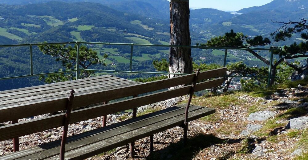
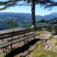
Regional Route K runs between Gloggnitz and Payerbach and has some special views. The Regional Routes are part of the network of paths making up the Viennese Alps (WAB) route. Hikes along these routes lead you to unique views and also insights. The Regional Routes are linked to the network of paths making up the Viennese Alps route. This results in circular hikes in conjunction with the long-distance path.
- Moeilijkheid
-
medium
- Waardering
-
- Route
-
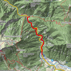
Schlosskirche Maria Schnee0,1 kmSt. Othmar Kapelle0,7 kmGloggnitz0,8 kmSilbersberg (716 m)3,1 kmZwicklkapelle4,4 kmSilbersberg4,5 kmGasthof Kürner5,5 kmSeelhofer5,6 kmGasthof Seelhofer5,7 kmAuf der Wiese5,8 kmSchwarzenberg-Aussicht (1.329 m)9,4 kmWaldburgangerhütte10,5 kmGeyerhof13,6 kmPayerbach Lokalbahn14,1 kmPayerbach14,2 km
- Beste seizoen
-
janfebmrtaprmeijunjulaugsepoktnovdec
- Maximale hoogte
- 1.315 m
- Bestemming
-
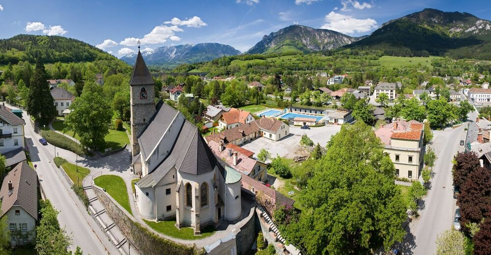
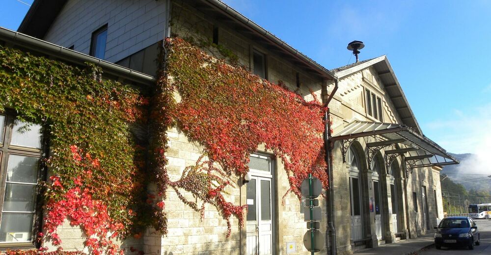
Payerbach railway station
- Hoogteprofiel
-
- Auteur
-
De rondleiding WAB - Regional Route K: Gloggnitz Castle - Prigglitz - Payerbach wordt gebruikt door outdooractive.com op.
GPS Downloads
Algemene info
Verfrissingsstop
Veelbelovend
Meer rondleidingen in de regio's
-
Wiener Alpen
3035
-
Semmering - Rax
2302
-
Prigglitz
888
