WAB - Regional Route I: Kirchberg/Wechsel - Maria Schutz

Wandelen
© ©Wiener Alpen, Foto: Christian Kremsl - Wiener Alpen in Niederösterreich
© ©Andreas Kranzmayer - Wiener Alpen in Niederösterreich Tourismus GmbH
© Wiener Alpen in Niederösterreich - Sophie Weinberger
© Wiener Alpen in Niederösterreich - Sophie Weinberger

© Wiener Alpen in Niederösterreich - Sophie Weinberger
© Wiener Alpen in Niederösterreich - Sophie Weinberger
© Wiener Alpen in Niederösterreich - Sophie Weinberger
© Wiener Alpen in Niederösterreich - Sophie Weinberger
© Wiener Alpen in Niederösterreich - Sophie Weinberger
© Wiener Alpen in Niederösterreich - Katrin Zeleny

- Korte beschrijving
-
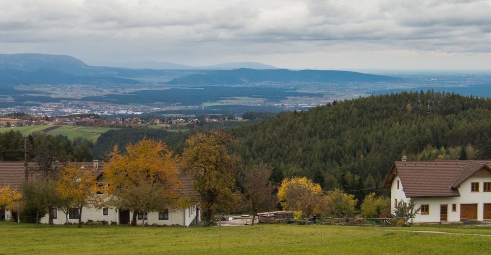
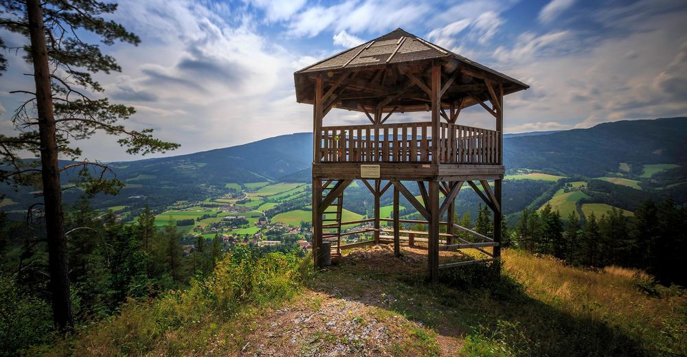
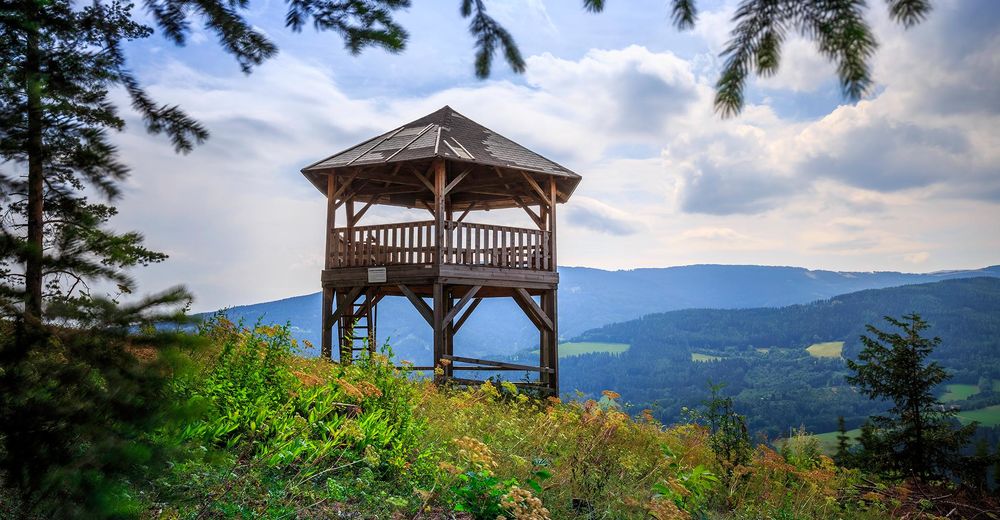
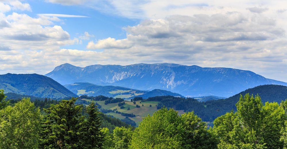
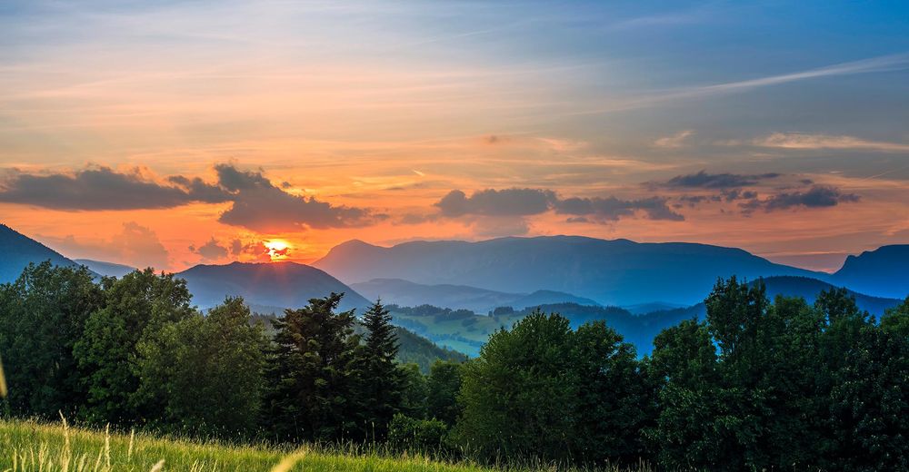
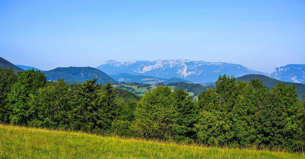
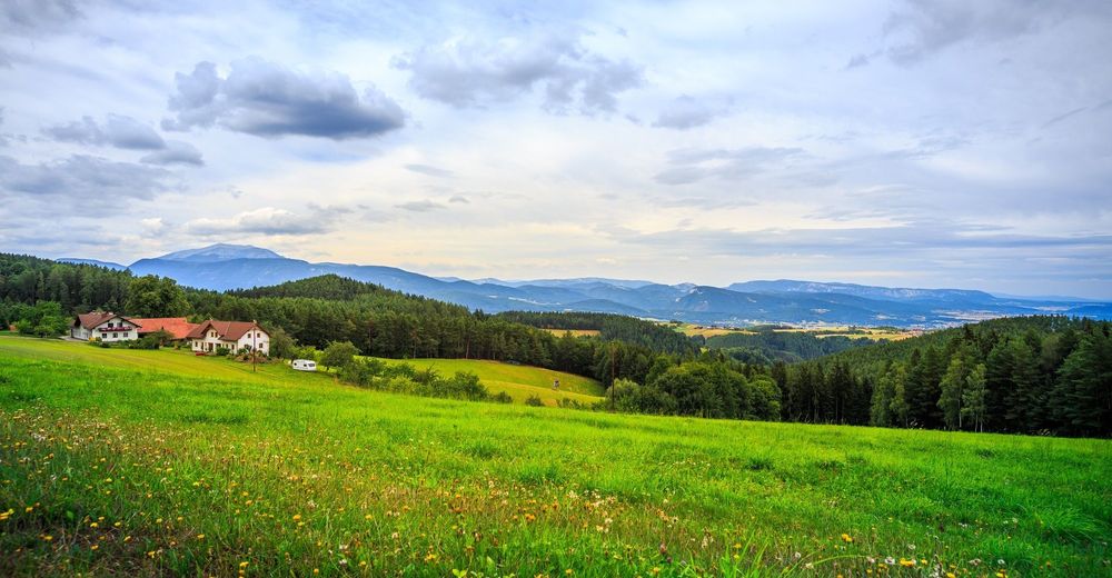
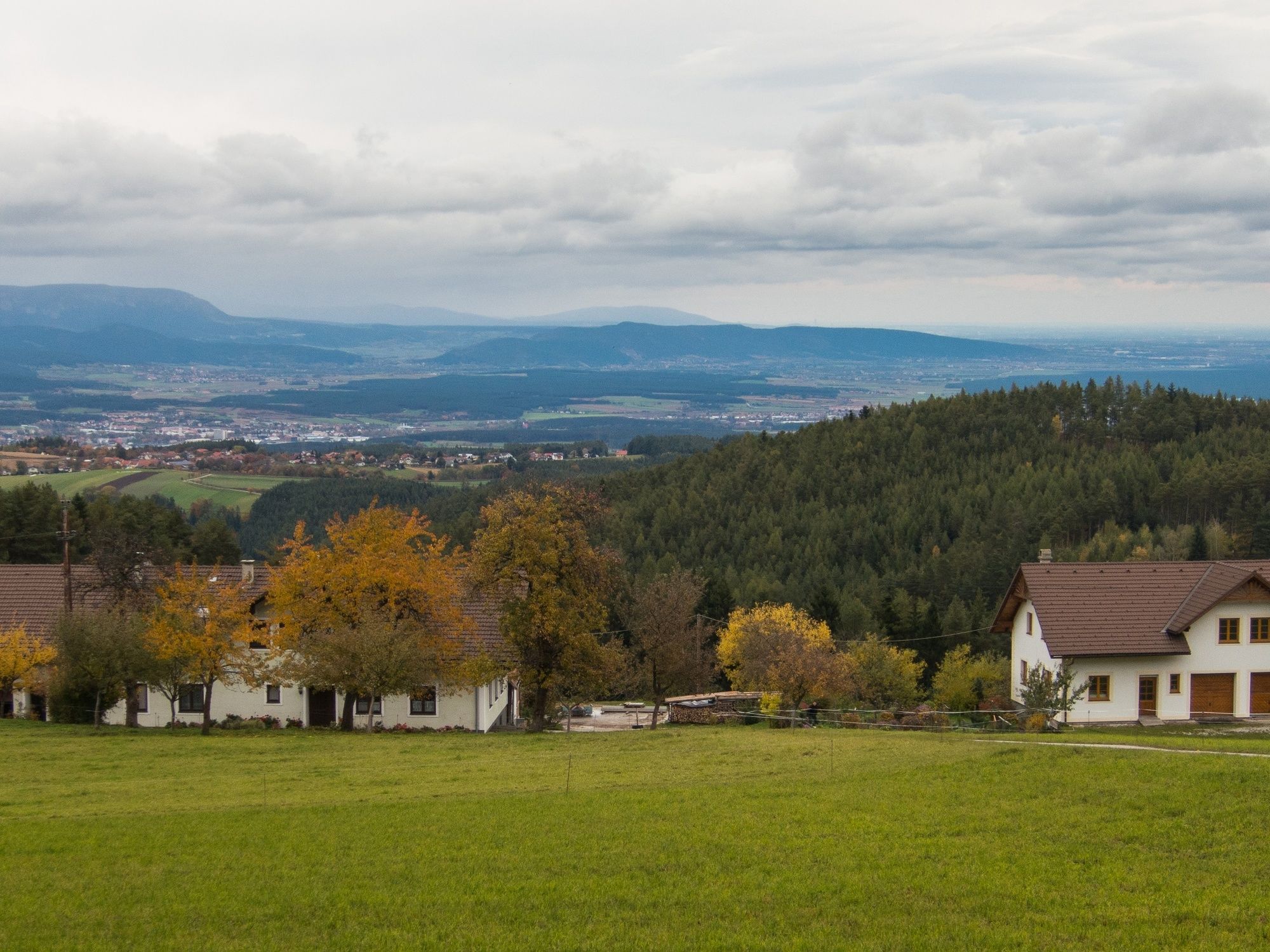
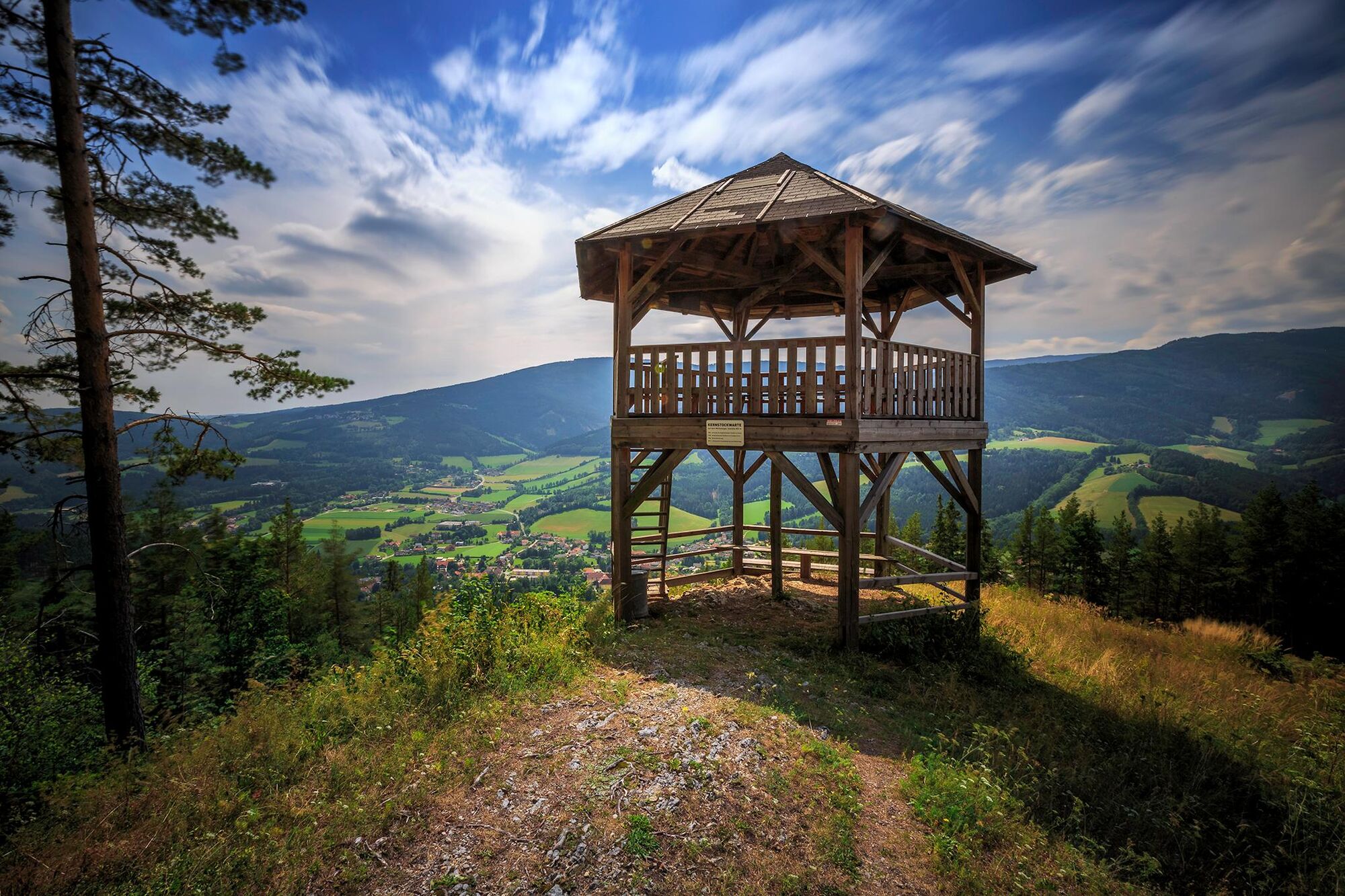
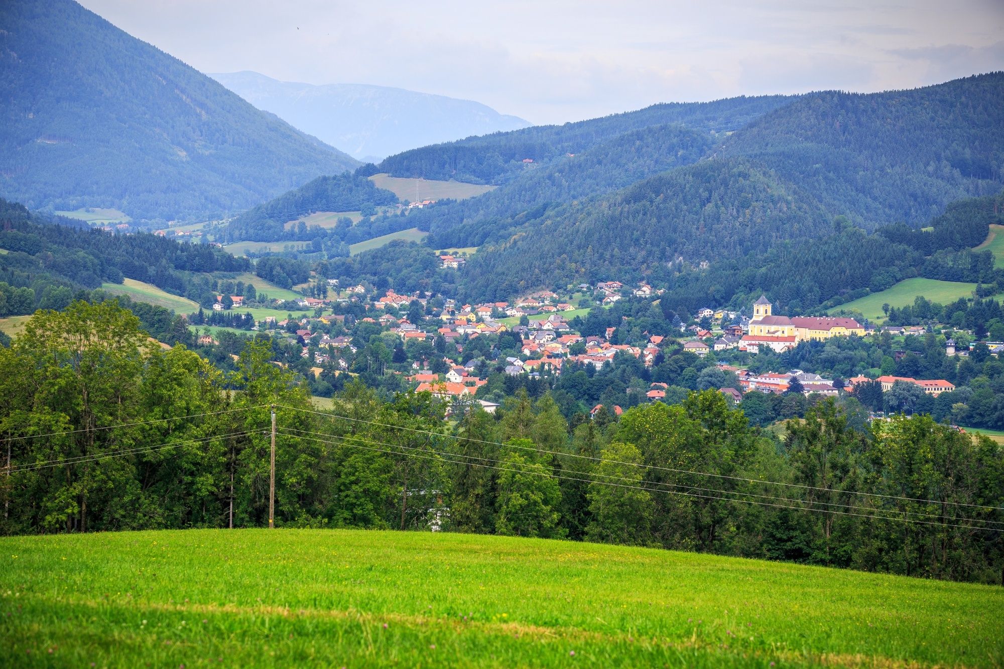
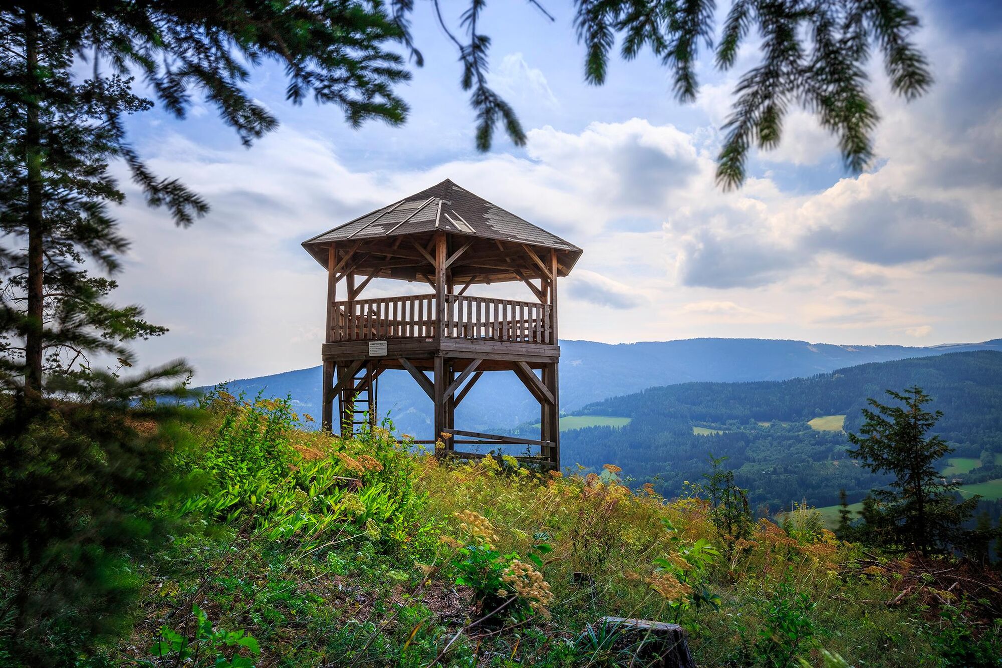
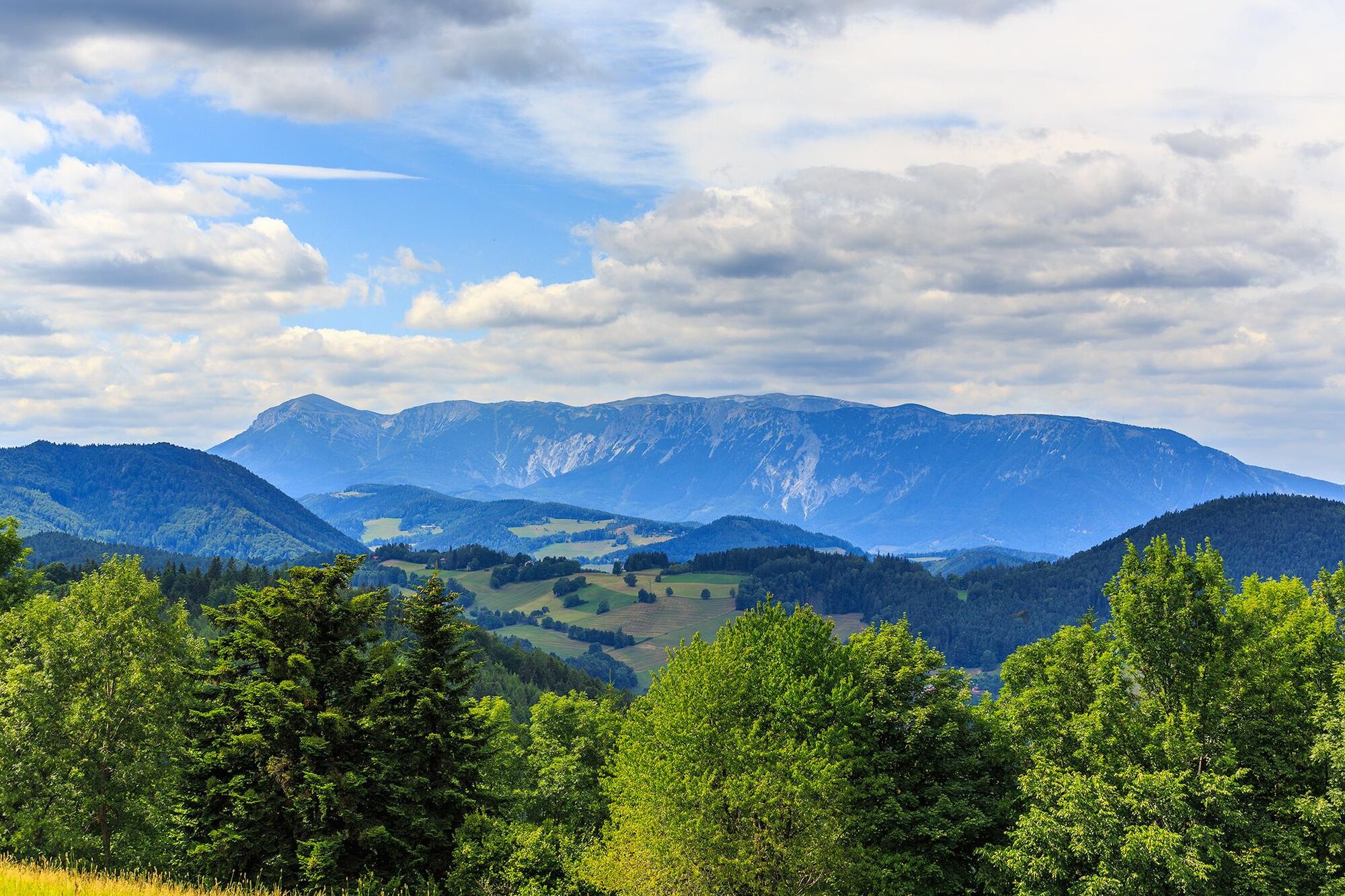
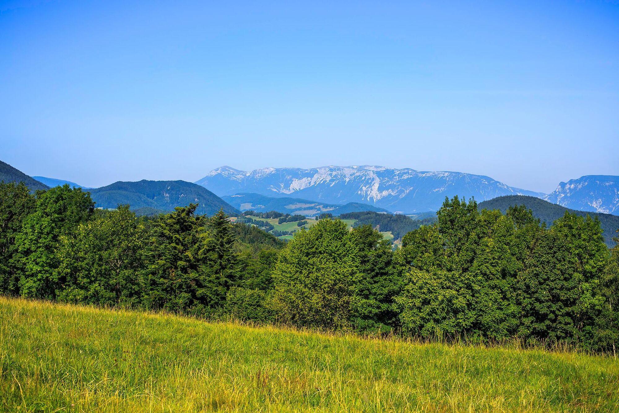
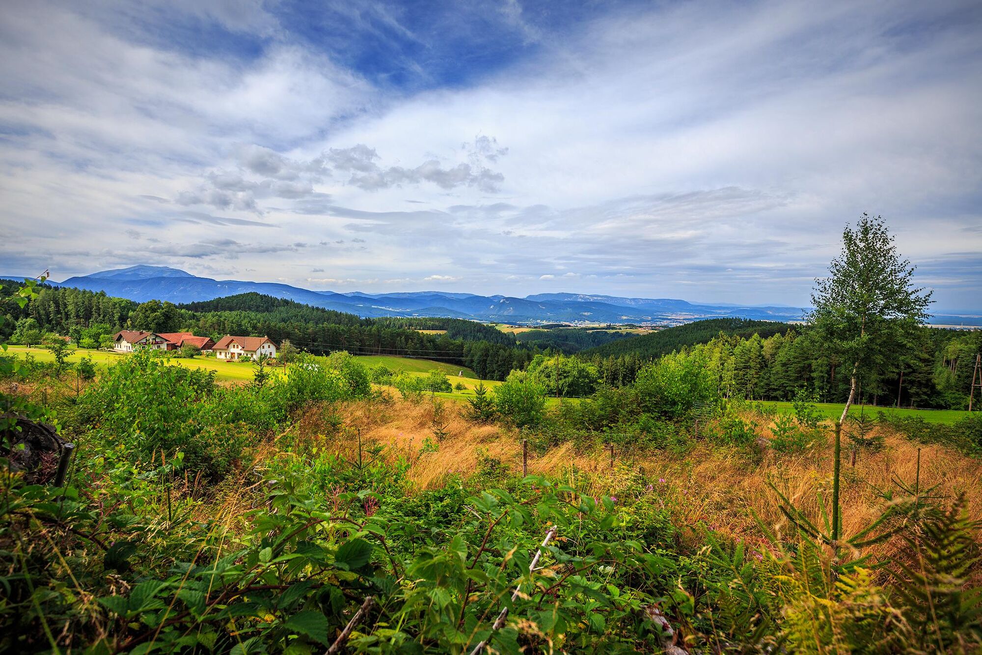
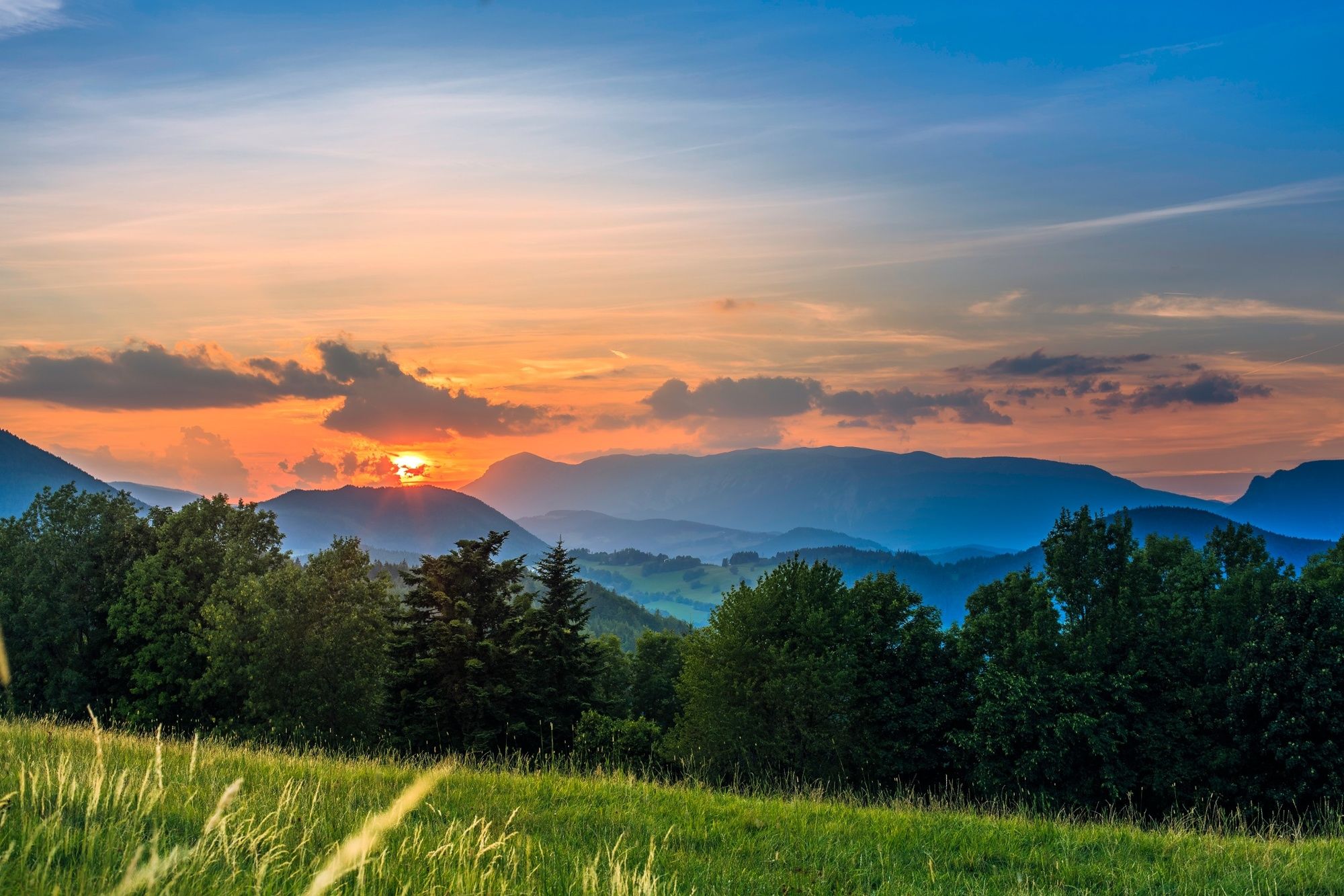
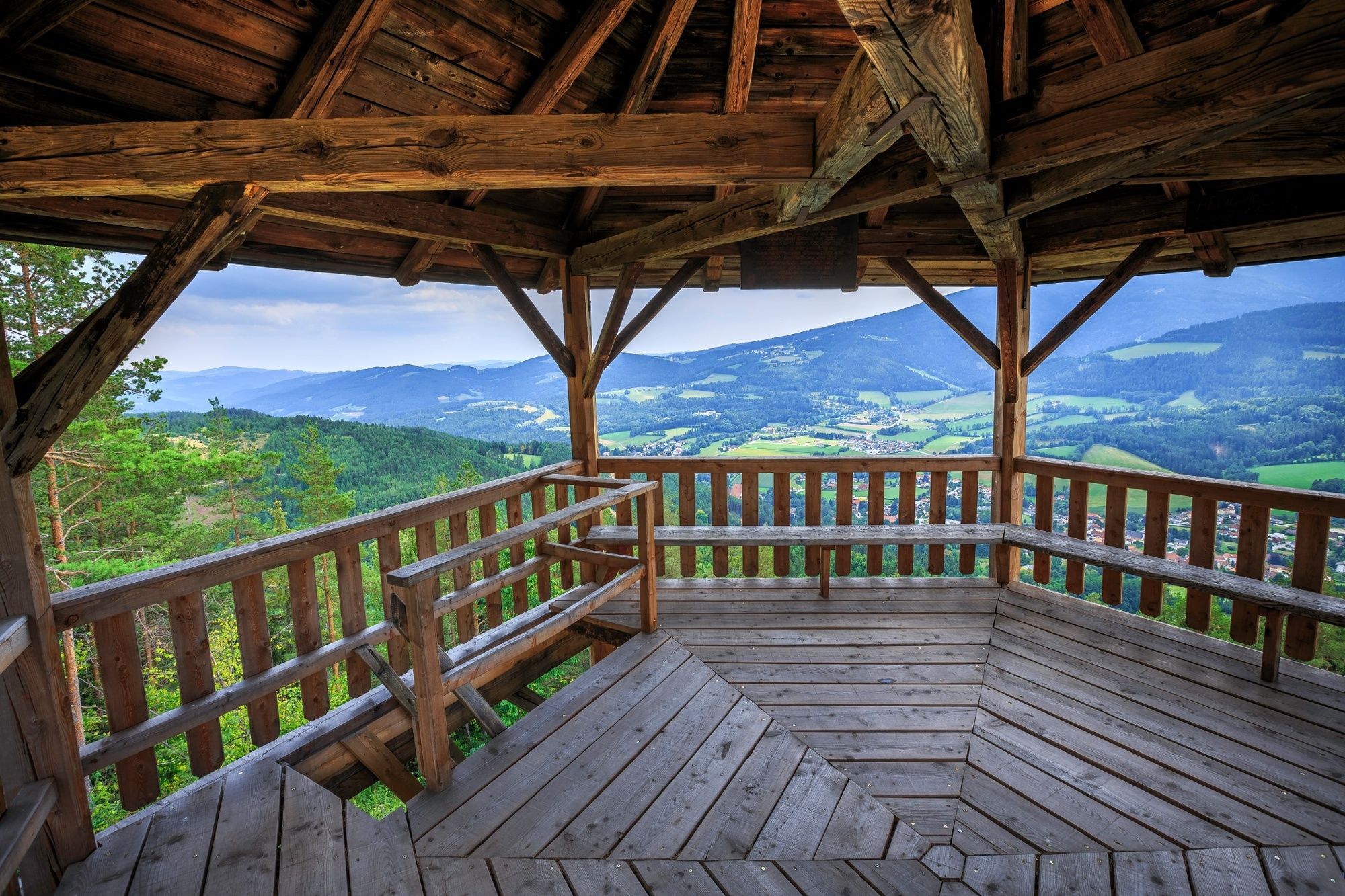
Regional Route I is from Kirchberg am Wechsel to Maria Schutz Pilgrimage Church. The Regional Routes are part of the network of paths making up the Viennese Alps (WAB) route. Hikes along these routes lead you to unique views and also insights. The Regional Routes are linked to the network of paths making up the Viennese Alps route. This results in circular hikes in conjunction with the long-distance path.
- Moeilijkheid
-
medium
- Waardering
-
- Route
-
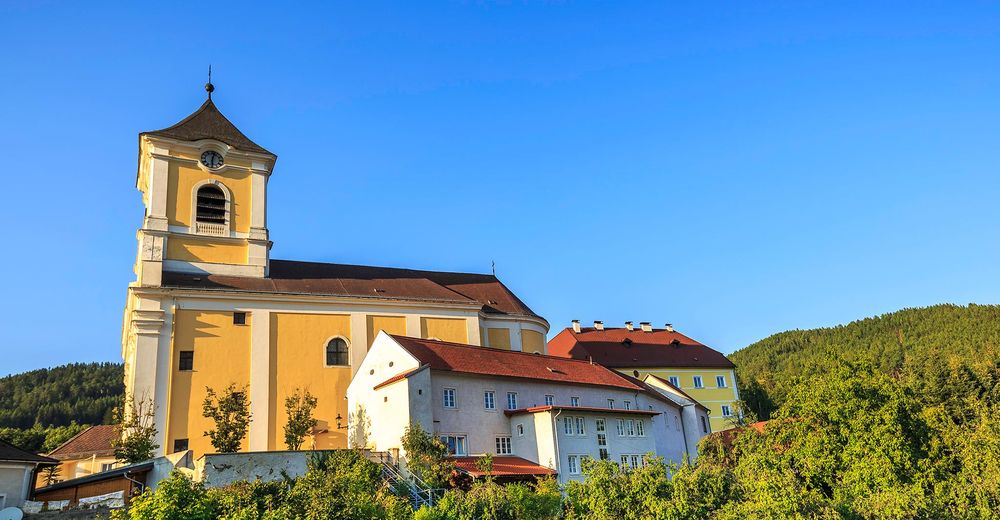
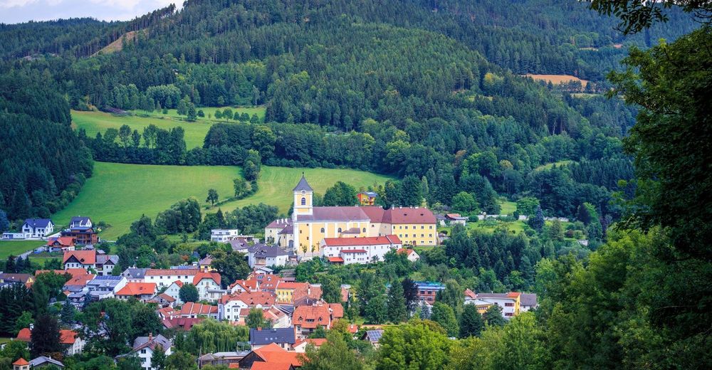
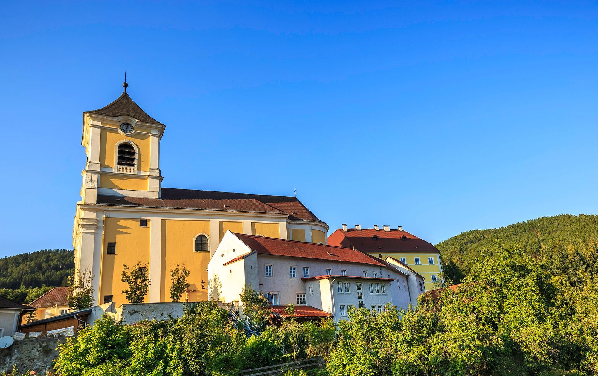
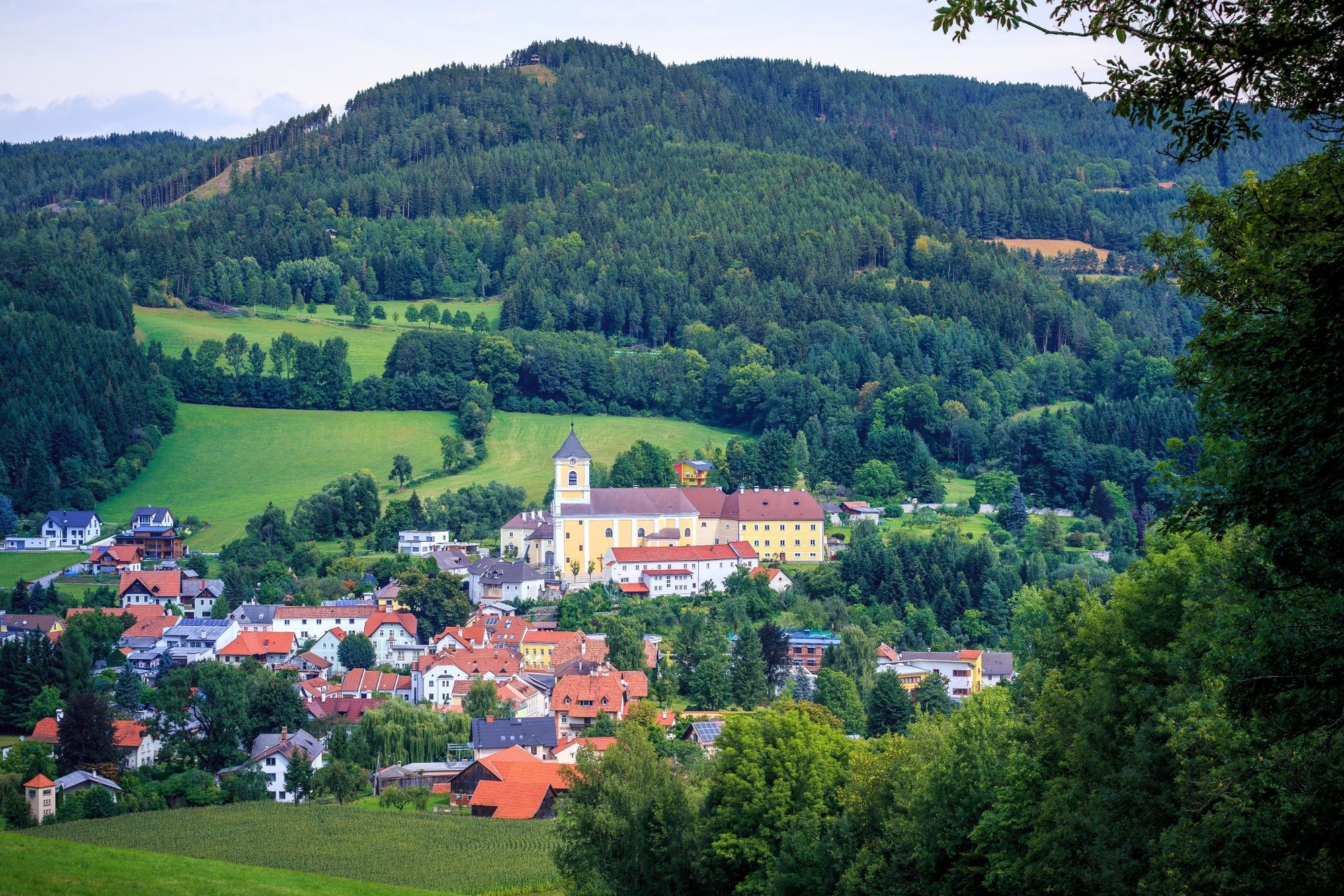
Kirchberg am Wechsel0,1 kmEselberg (974 m)3,0 kmSilo4,1 kmRamswirt4,9 kmGasthof Diewald, Waldpension9,0 kmRaach am Hochgebirge9,1 kmSt. Ägydius9,1 kmSchlagl10,0 kmSchanzkapelle12,2 kmGöstritzloch II13,3 kmWallfahrtskirche und Passionistenkloster Maria SchutzMaria Schutz15,3 kmKirchenwirt15,3 kmGasthaus Auerhahn - Familie Rumpler15,4 kmMaria Schutz15,4 km
- Beste seizoen
-
janfebmrtaprmeijunjulaugsepoktnovdec
- Maximale hoogte
- 979 m
- Bestemming
-
Maria Schutz Pilgrimage Church
- Hoogteprofiel
-


- Auteur
-
De rondleiding WAB - Regional Route I: Kirchberg/Wechsel - Maria Schutz wordt gebruikt door outdooractive.com op.
GPS Downloads


Algemene info
Verfrissingsstop
Meer rondleidingen in de regio's
-
Wiener Alpen
3048
-
Semmering - Rax
2314
-
Otterthal
615


