

© EVAdinarica Project - EVA dinarica

© EVAdinarica Project - EVA dinarica

© EVAdinarica Project - EVA dinarica

© EVAdinarica Project - EVA dinarica

© EVAdinarica Project - EVA dinarica

© EVAdinarica Project - EVA dinarica

© EVAdinarica Project - EVA dinarica

© EVAdinarica Project - EVA dinarica

© EVAdinarica Project - EVA dinarica

© EVAdinarica Project - EVA dinarica

- Korte beschrijving
-
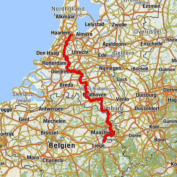
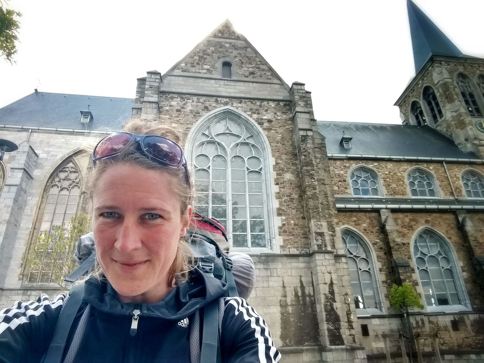
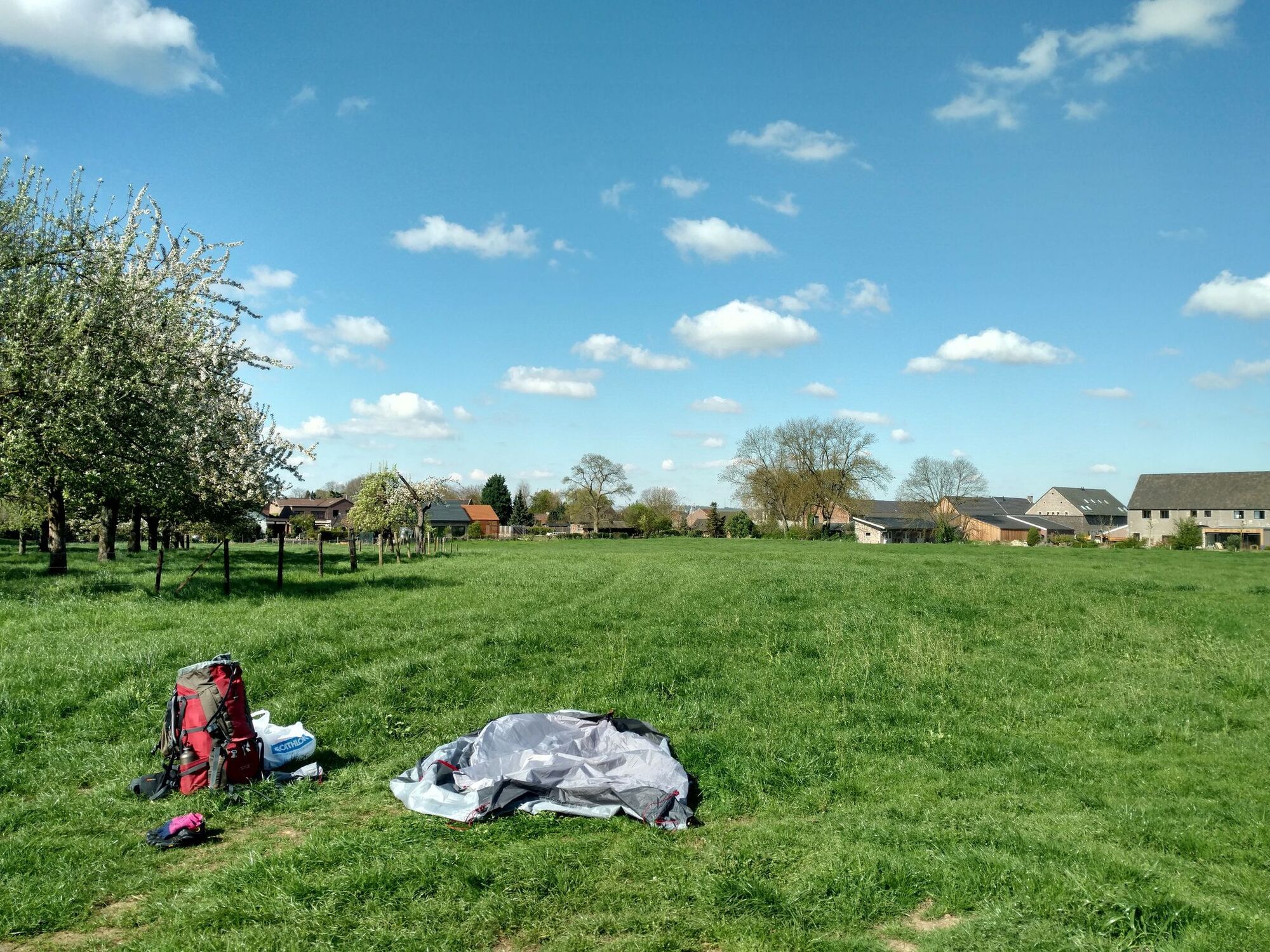
A pilgrimage through the Netherlands
- Moeilijkheid
-
gemakkelijk
- Waardering
-
- Startpunt
-
Amsterdam
- Beste seizoen
-
janfebmrtaprmeijunjulaugsepoktnovdec
- Beschrijving
-
https://nl.wikipedia.org/wiki/Pelgrimspad
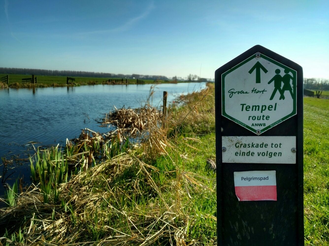
- Routebeschrijving
-
A pilgrimage through the Netherlands
- Maximale hoogte
- 209 m
- Bestemming
-
Wezet
- Hoogteprofiel
-
 © outdooractive.com
 - Aanvullende informatie


-

-
AuteurDe rondleiding Pelgrimspad in The Netherlands wordt gebruikt door outdooractive.com op.
GPS Downloads


Algemene info
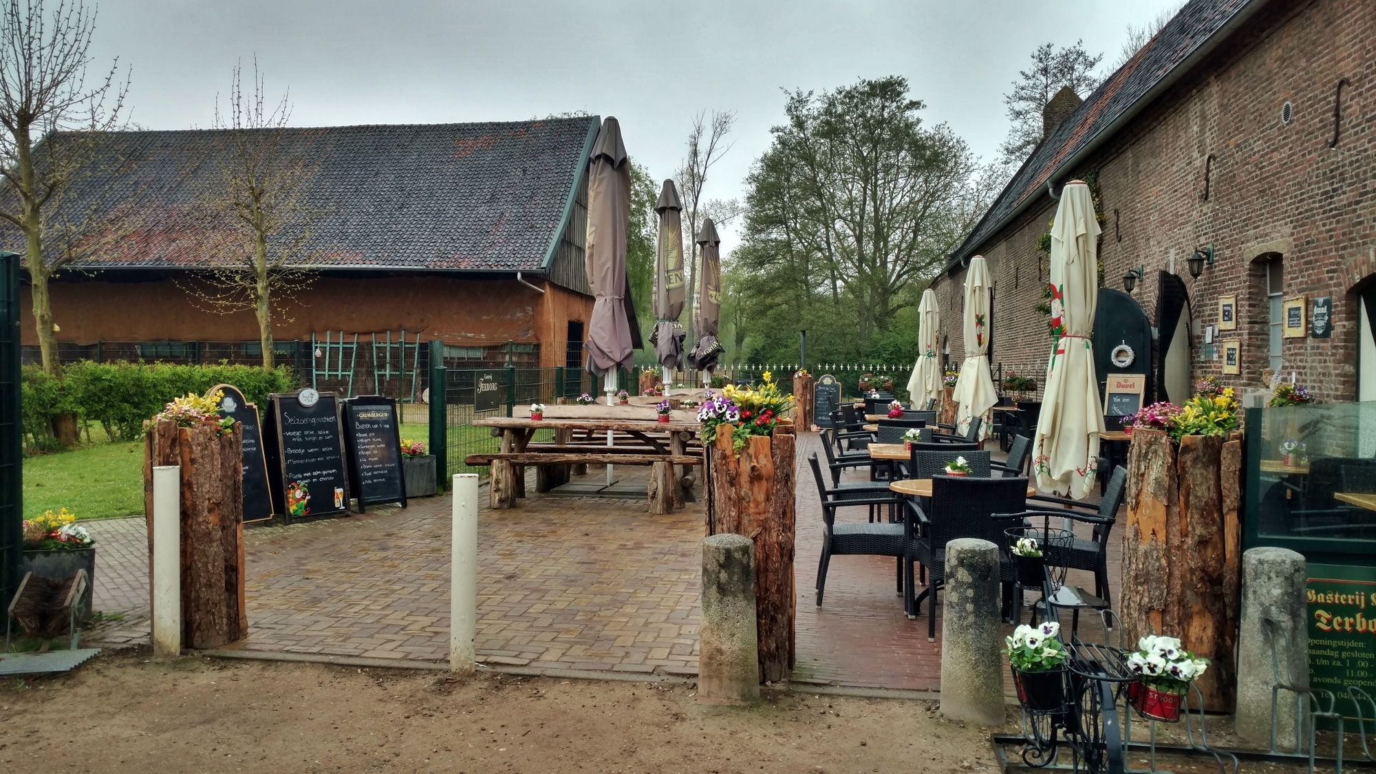
Verfrissingsstop
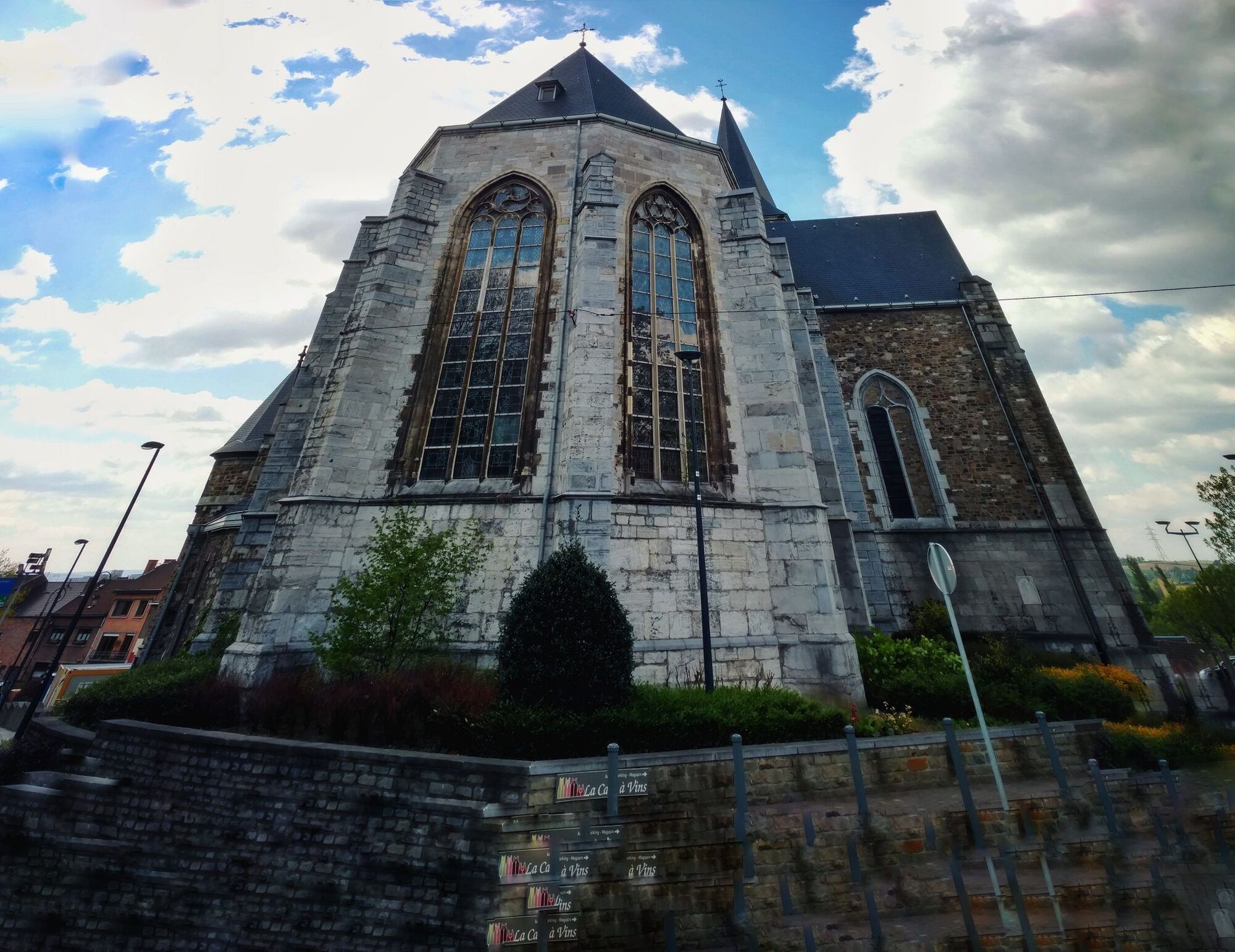
Cultureel/Historisch
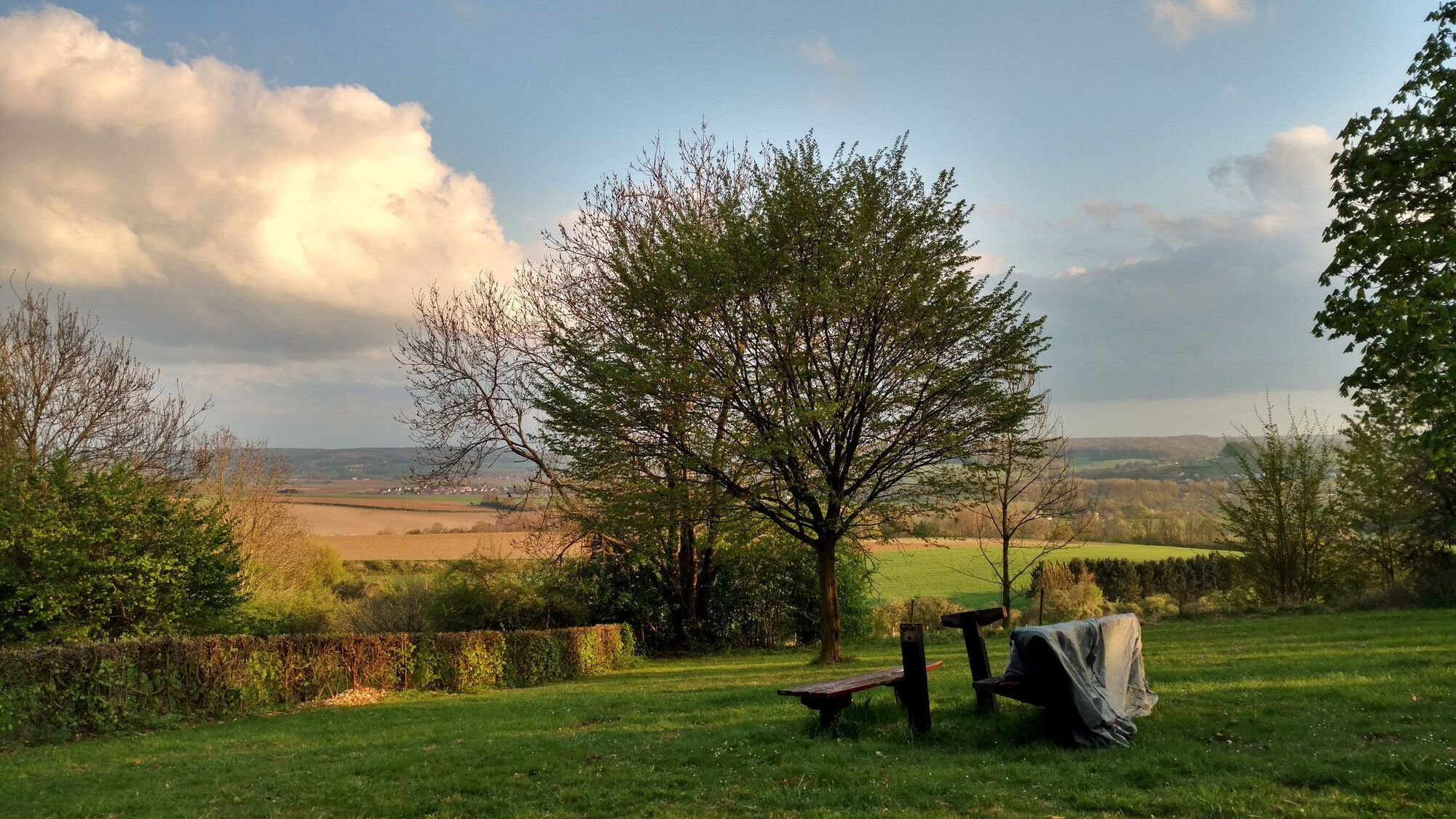
Flora
Fauna
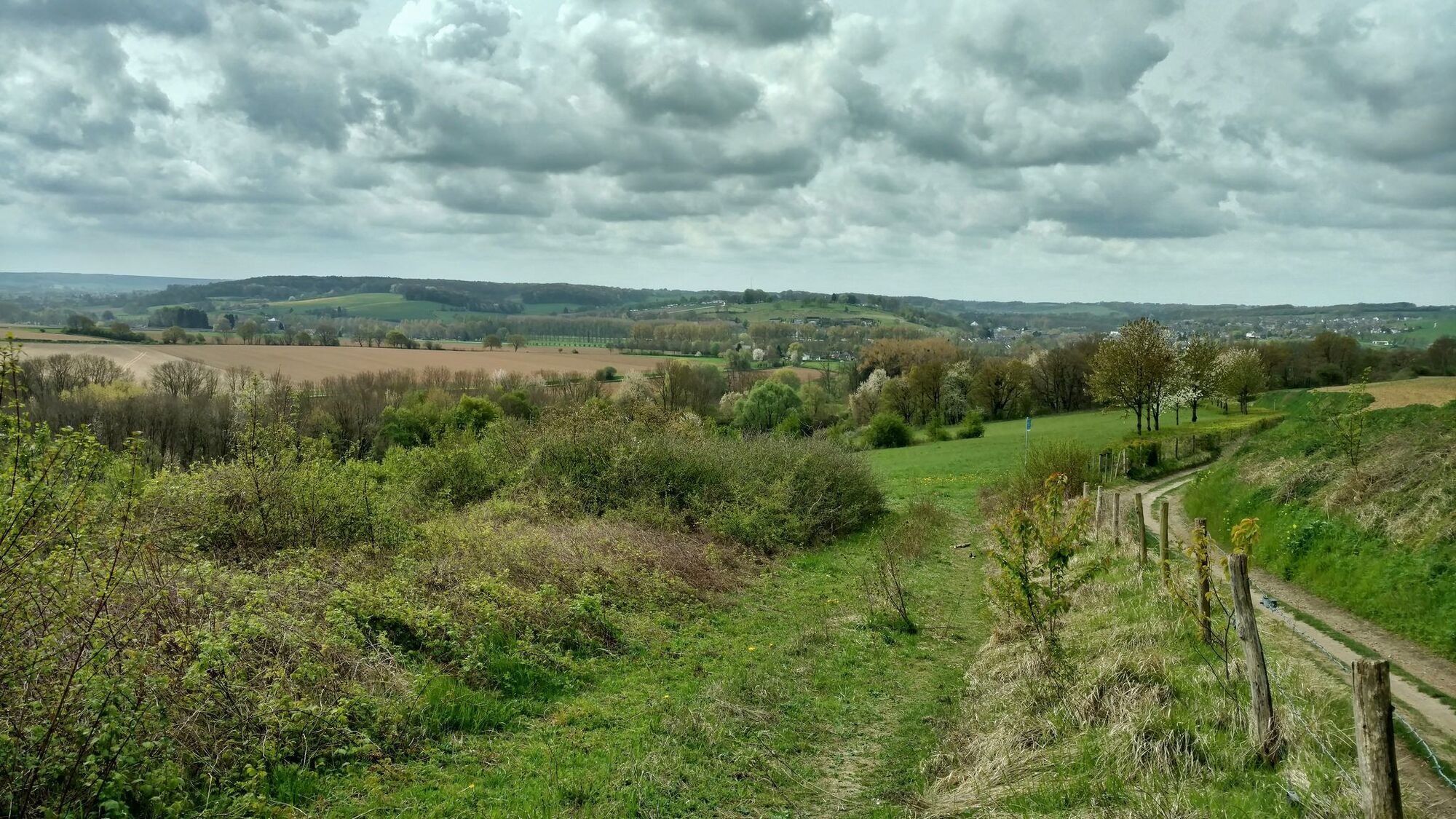
Veelbelovend
Meer rondleidingen in de regio's