Donausteig Stage 3_S06 Linz - Enns: „Anton Bruckner and the perfekt Landscape symphony“

© WGD Donau Oberösterreich Tourismus GmbH/Andreas Kranzmayr - Andreas Kranzmayr

© WGD Donau Oberösterreich Tourismus GmbH/Weissenbrunner - Weissenbrunner
© WGD Donau Oberösterreich Tourismus GmbH/Hochhauser - Beate Kepplinger

© WGD Donau Oberösterreich Tourismus GmbH/Hochhauser - Hochhauser

© WGD Donau Oberösterreich Tourismus GmbH/Andreas Kranzmayr - Andreas Kranzmayr

© Donauregion


- Korte beschrijving
-
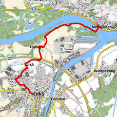
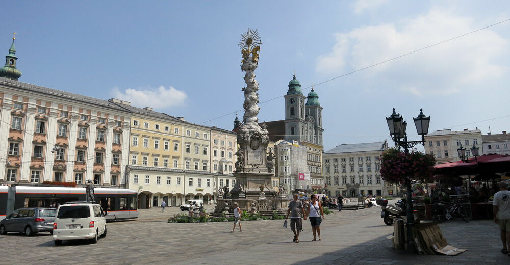
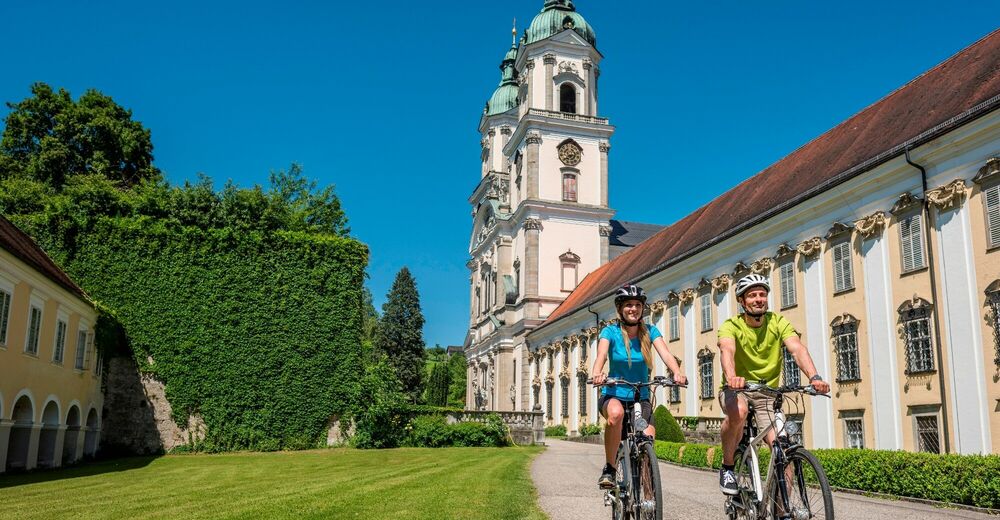
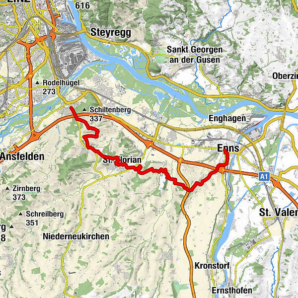
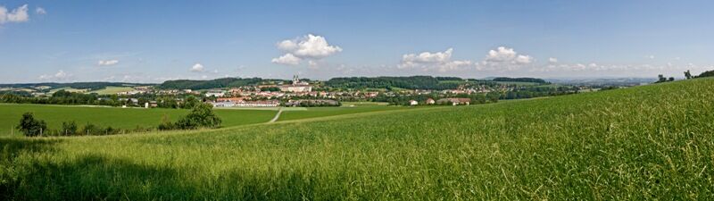
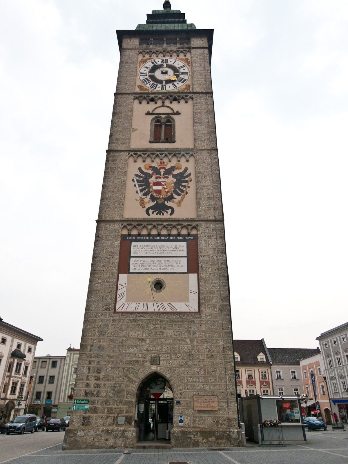
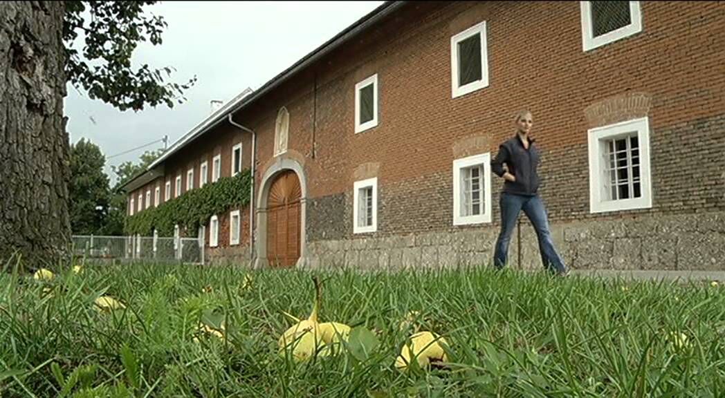
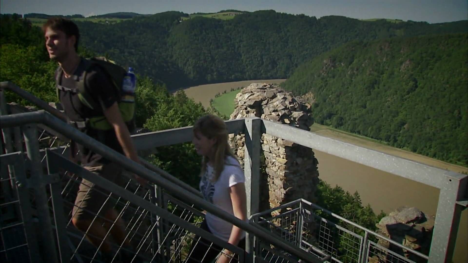
The Donausteif-simply fabulous! This stage leads us from Linz into the rural Linzer Basin through unique rural lanscape of the magnificent Traun-Enss-Riedellandes (region) past the Stift St. Florian to Enns. During the stage, we discover the world of Anton Bruckner, Vierkanthöfe (farms) as symbols of the farming tradition, of the most beautiful baroque abbeys, the oldest city of Austria...
- Moeilijkheid
-
medium
- Waardering
-
- Route
-
Maria Hilf Kapelle0,2 kmÖlkam2,8 kmRohrbach4,9 kmSchitteraichet7,0 kmGasthof Franz-Ferdinand8,1 kmSt. Florian8,1 kmWeilling9,9 kmOberndorf11,9 kmSamesleiten12,7 kmTillysburg13,6 kmVolkersdorf14,2 kmSt. Marien19,9 kmEnns20,1 km
- Beste seizoen
-
janfebmrtaprmeijunjulaugsepoktnovdec
- Maximale hoogte
- 335 m
- Bestemming
-
Enns - Main square (there is no designated Donausteig-starting point here)
- Hoogteprofiel
-


- Auteur
-
De rondleiding Donausteig Stage 3_S06 Linz - Enns: „Anton Bruckner and the perfekt Landscape symphony“ wordt gebruikt door outdooractive.com op.
GPS Downloads


Algemene info
Verfrissingsstop
Cultureel/Historisch
Veelbelovend
Meer rondleidingen in de regio's
-
Mühlviertel
1781
-
Linz & Region Linz
842
-
Asten
158