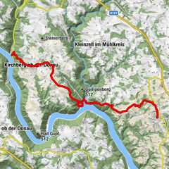
Donausteig Stage 3_N06 Ottensheim - Linz: „Summit Assualt-From the Eferdinger Basin to the Linzer Basin“


- Korte beschrijving
-
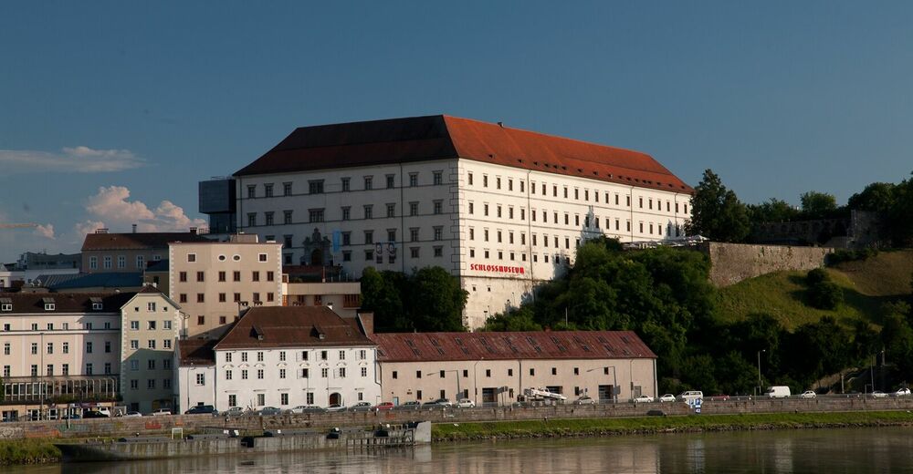
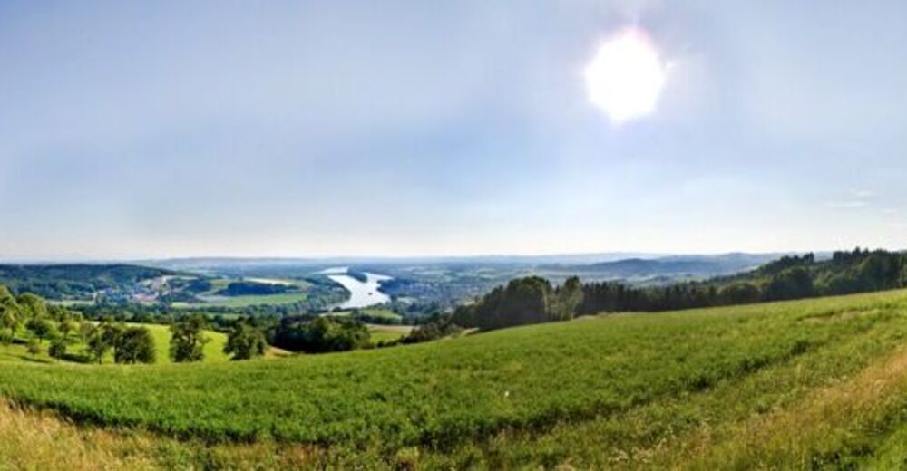
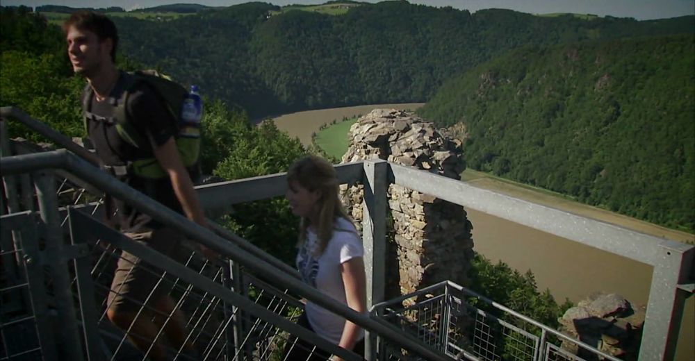
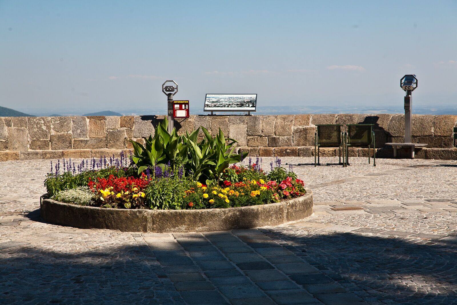
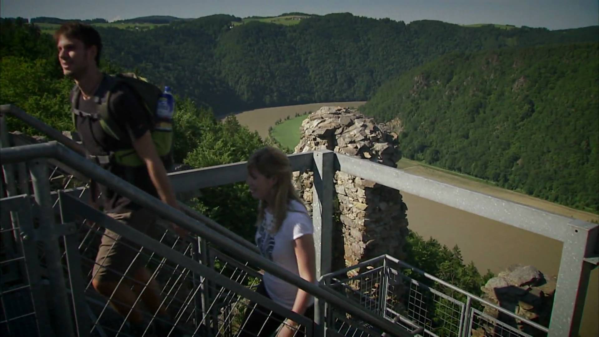
The Donausteig-simply fabulous! Summit storm onto the Donaublick - one of the seven Danube climbing summits! On this panoramic stage, we hike from Ottensheim in the fertile Eferding basin over the summits of the Donaublicks and the Pöstlingberg to the Linzer basin to Linz. We discover Ottensheim as an ancient trading hub, the myth of the Lochsteines (stones), the landmark of Linz, the innovative Maximillian fortress, the steepest adhesion railway in the world of...
- Moeilijkheid
-
zwaar
- Waardering
-
- Route
-
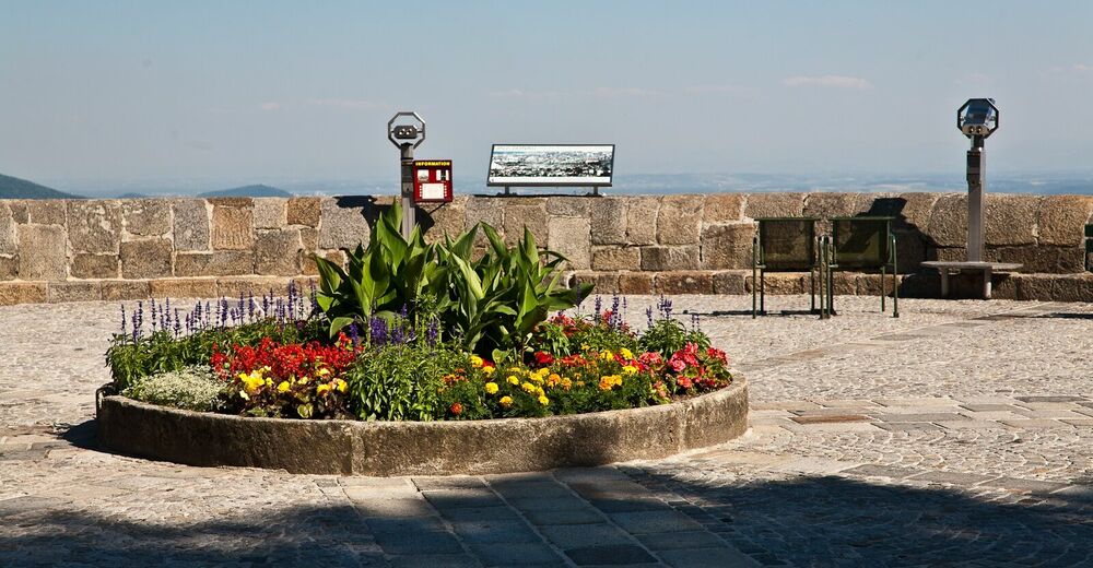
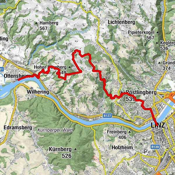
Ottensheimer DrahtseilbrückeOttensheim0,0 kmDonaubus0,1 kmGasthaus Dürnberg1,3 kmKöglerhof8,0 kmKoglerauer Spitz (685 m)8,6 kmGroßamberg9,3 kmPlayground - Pöstlingberg13,4 kmPöstlingberg13,4 kmPöstlingberg Schlössl13,4 kmUrfahr16,0 kmHinsenkampplatz16,4 kmAlt-Urfahr16,6 kmDonaubus Anlegestelle16,7 kmLanding place Linz - Nibelungen16,9 kmLinz (266 m)16,9 km
- Beste seizoen
-
janfebmrtaprmeijunjulaugsepoktnovdec
- Maximale hoogte
- 683 m
- Bestemming
-
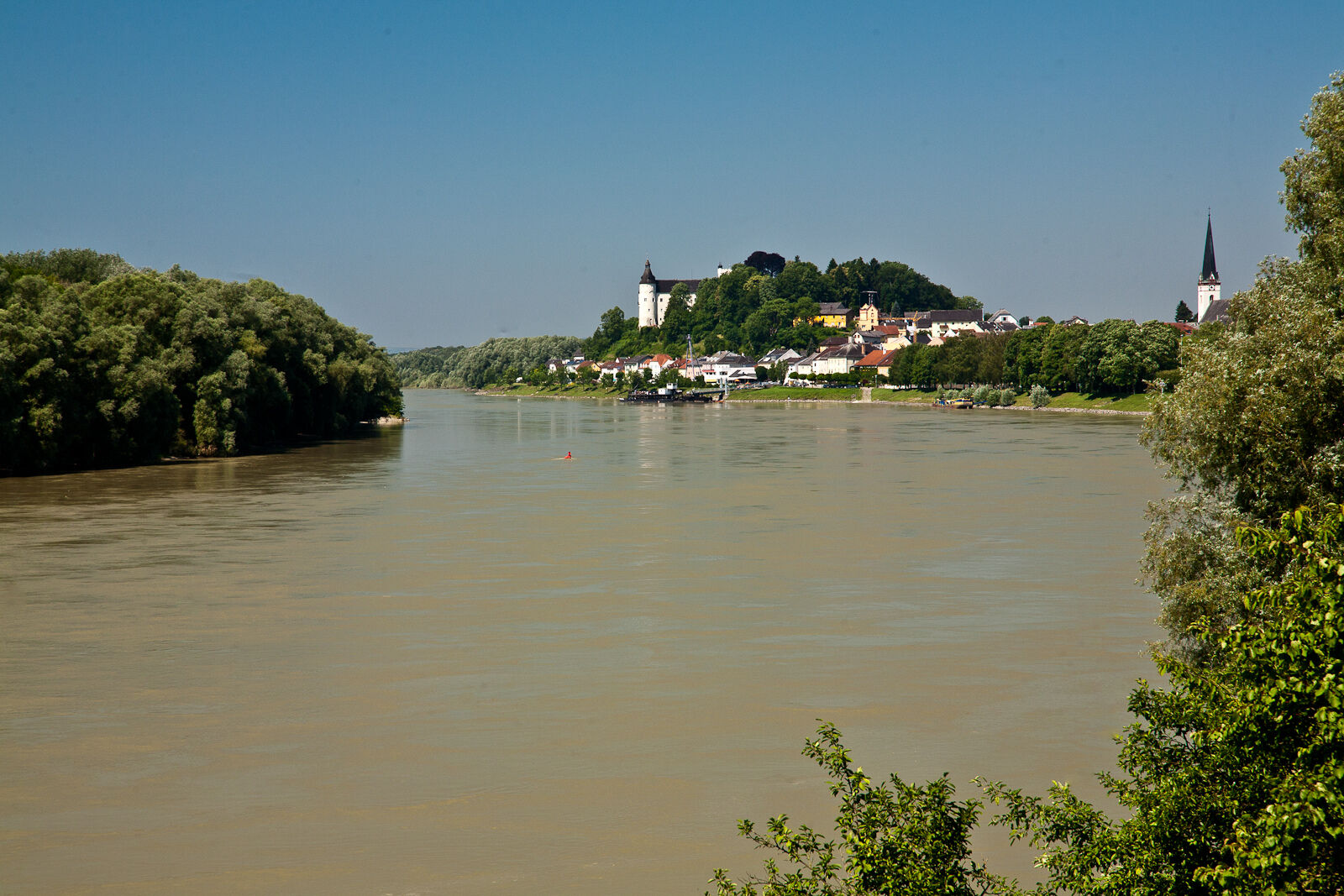
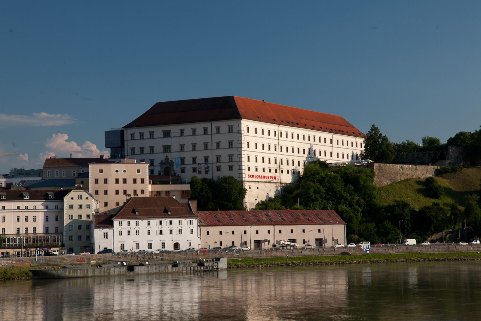
Linz- Main square (Linz has two Donausteig-starting points, however this one lies very central: The Donausteig-starting point for stage „3_S06 Linz-Enns“ is located on the east exit of the Linzer Schlosses (castle); the Donausteig-starting point for the stage „3_N07 Linz-Steyregg“ is located in Urfahr on the danube embankment in front of the Ars-Electronica-Center).
- Hoogteprofiel
-


- Auteur
-
De rondleiding Donausteig Stage 3_N06 Ottensheim - Linz: „Summit Assualt-From the Eferdinger Basin to the Linzer Basin“ wordt gebruikt door outdooractive.com op.


Algemene info
-
Mühlviertel
1784
-
Linz & Region Linz
847
-
Puchenau
331